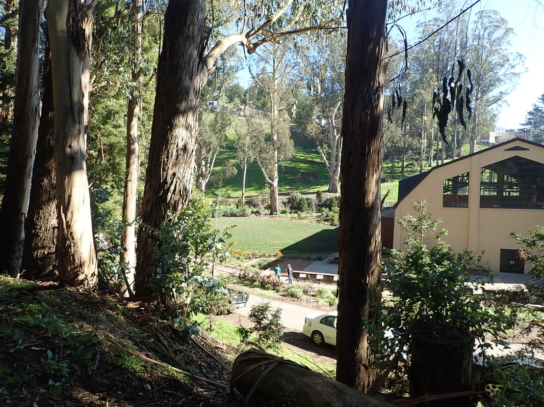
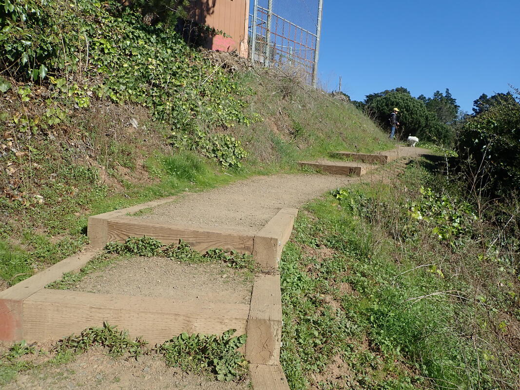
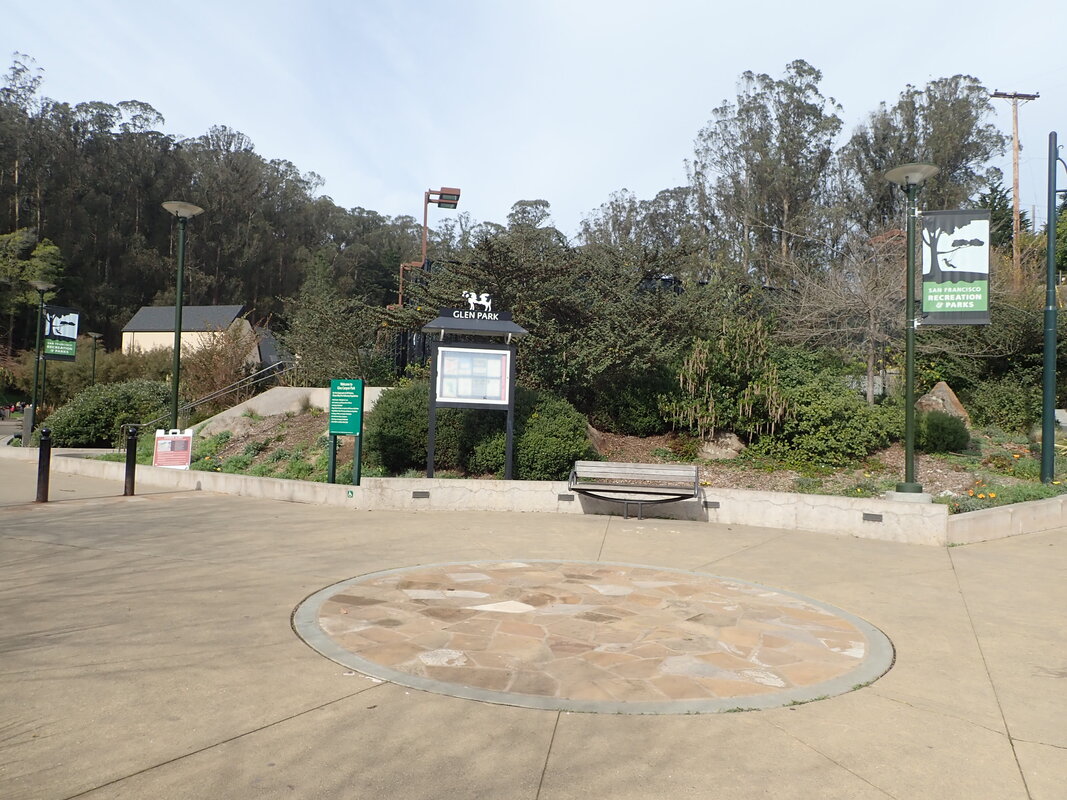
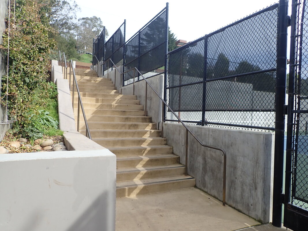
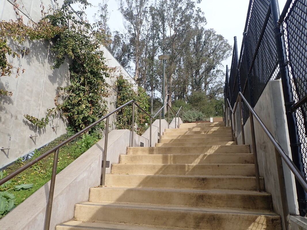
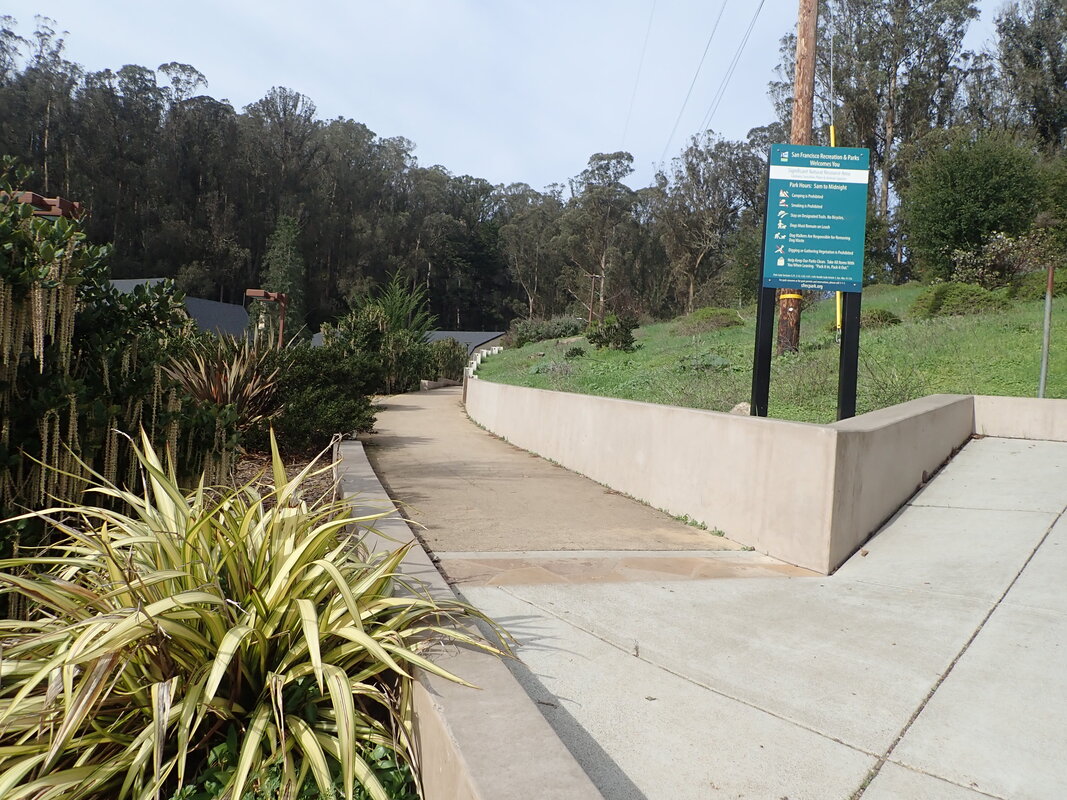
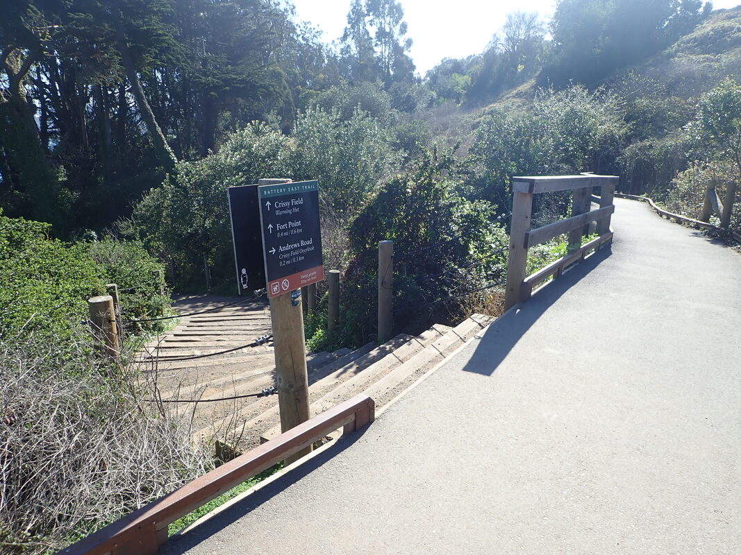
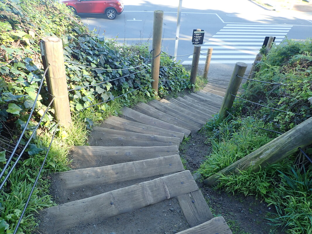
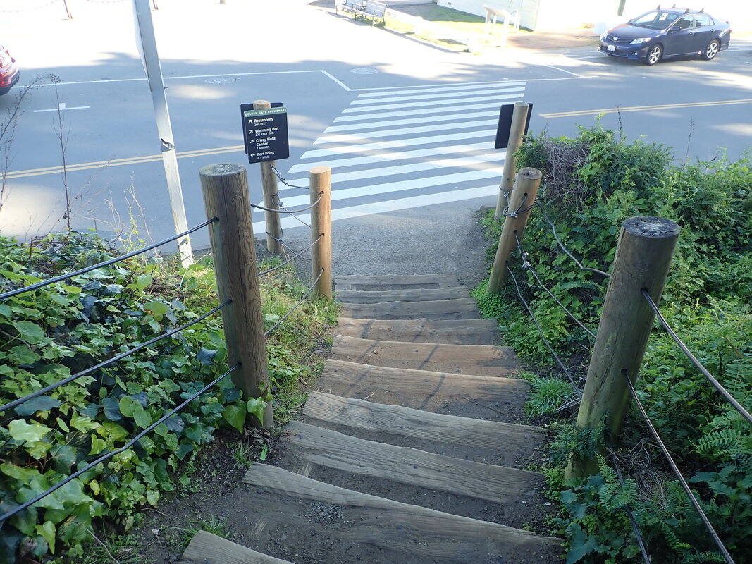
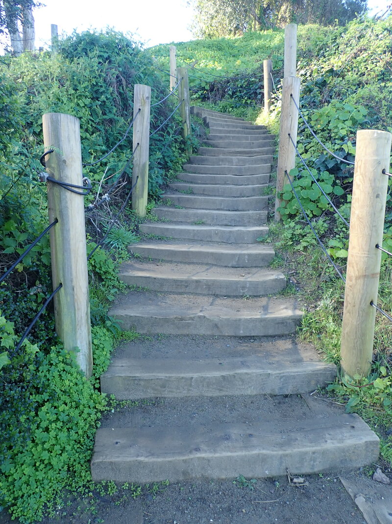
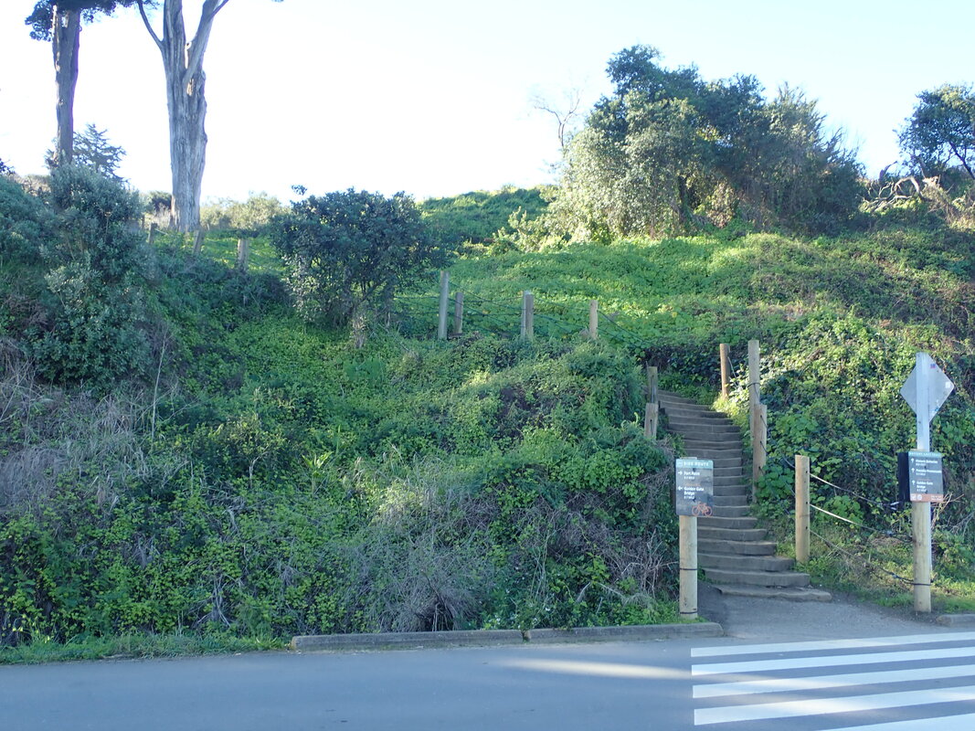
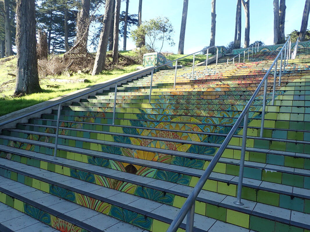
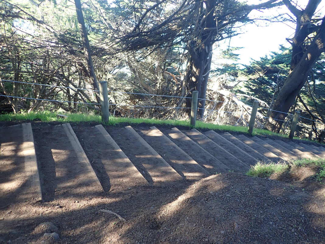
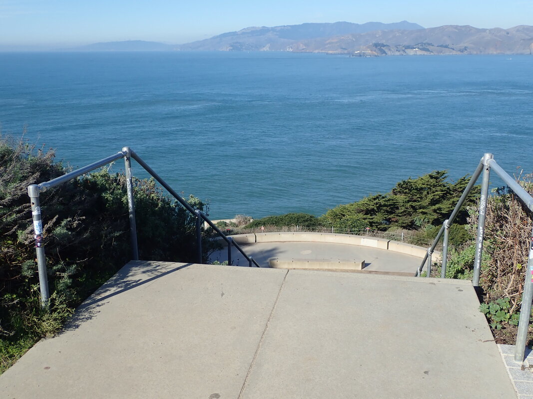
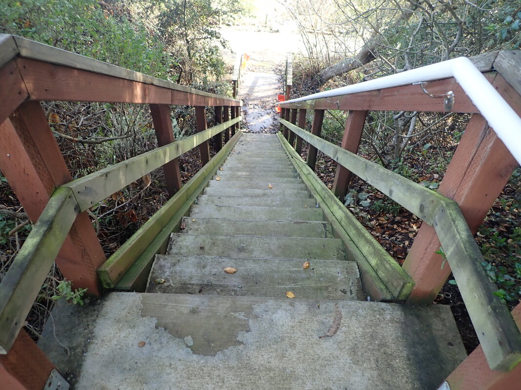
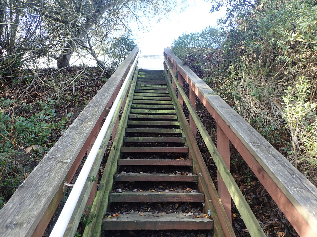
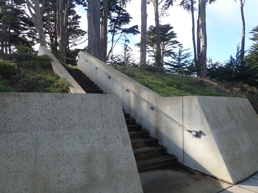
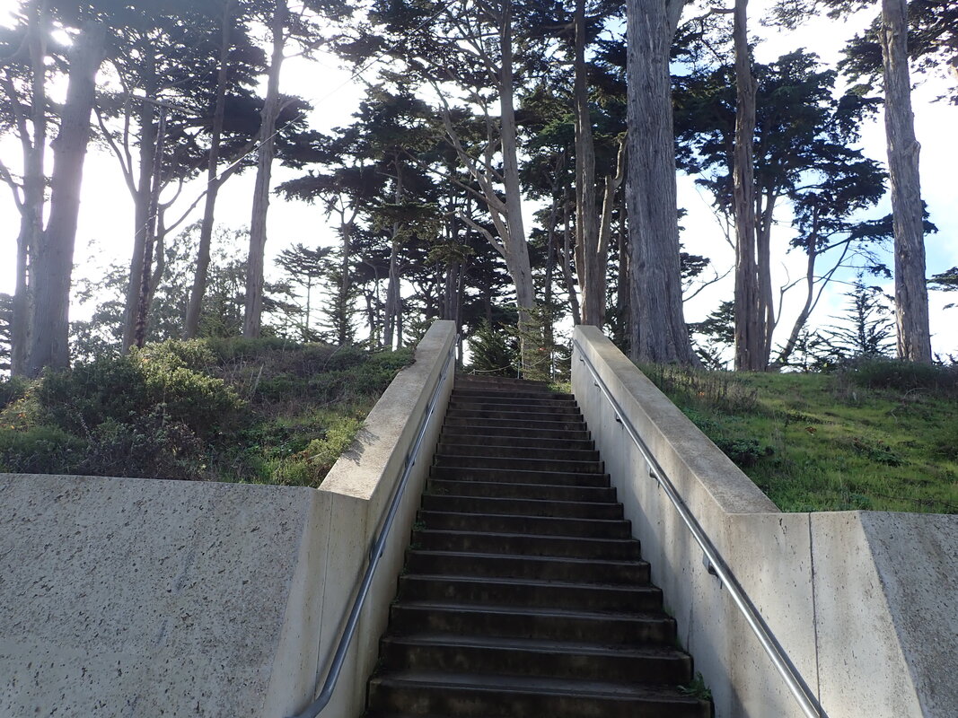
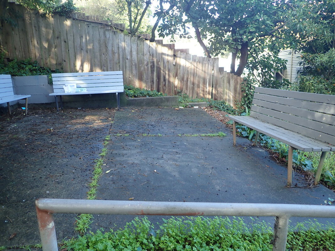
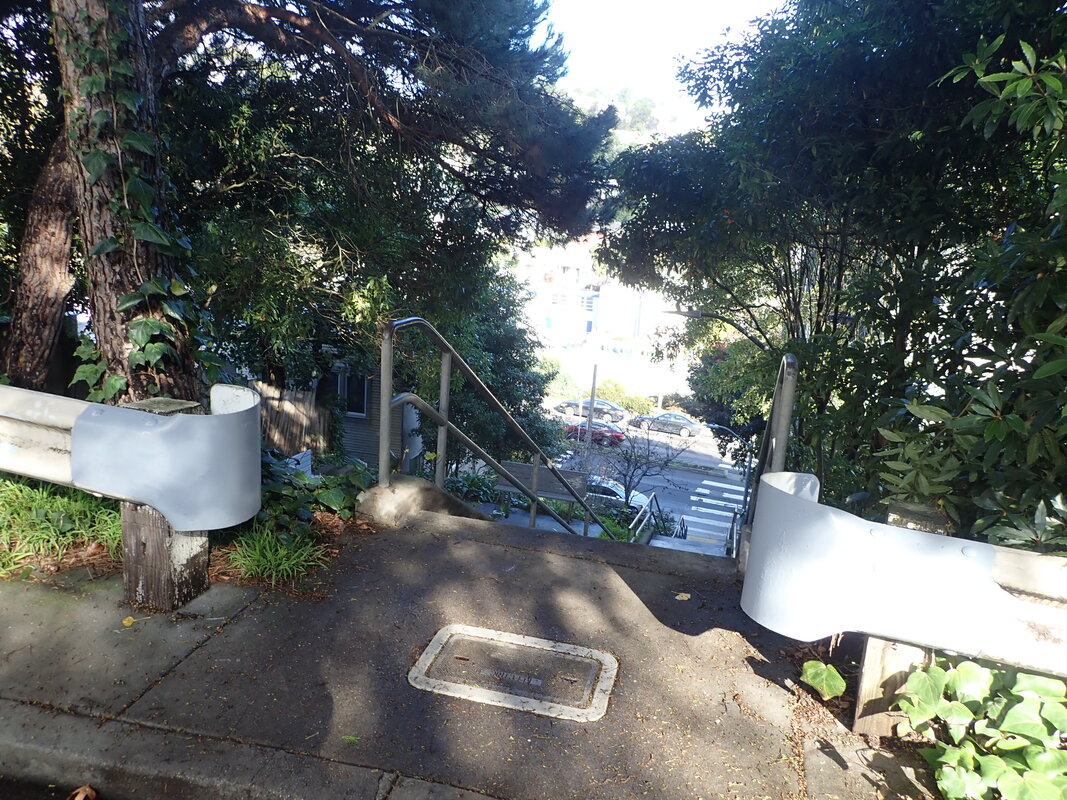
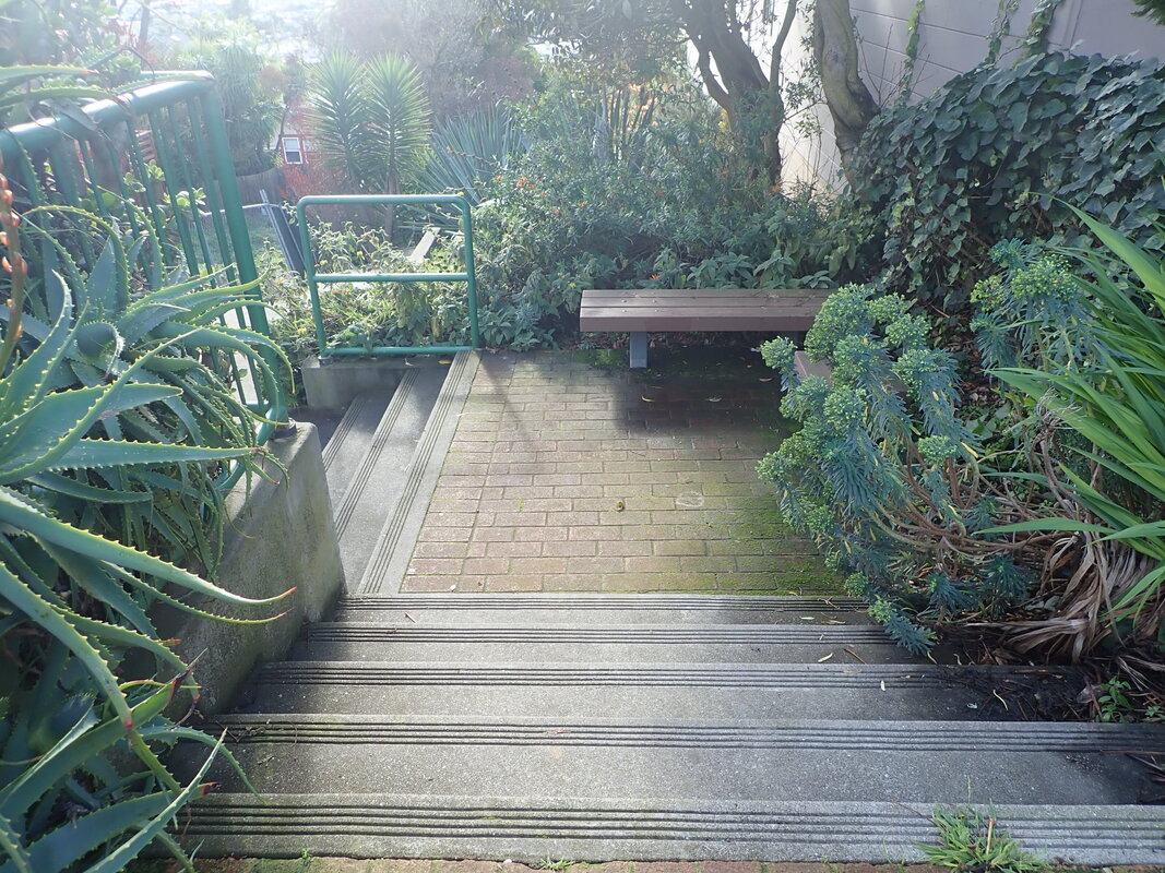
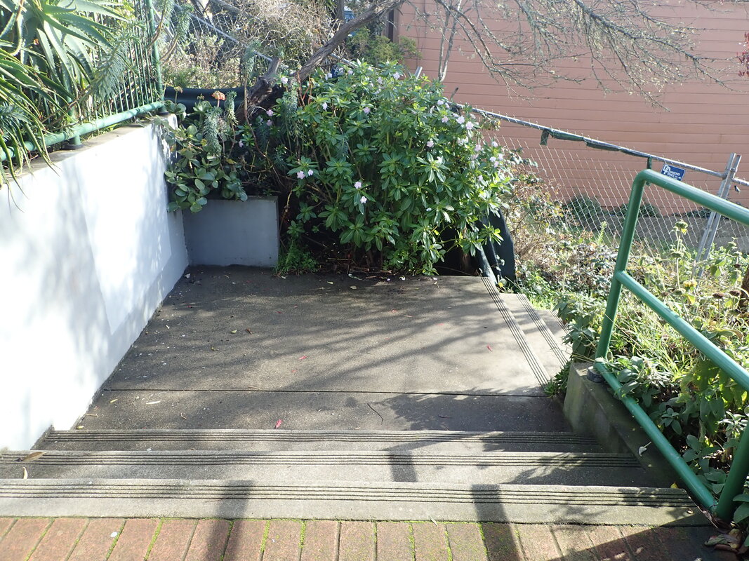
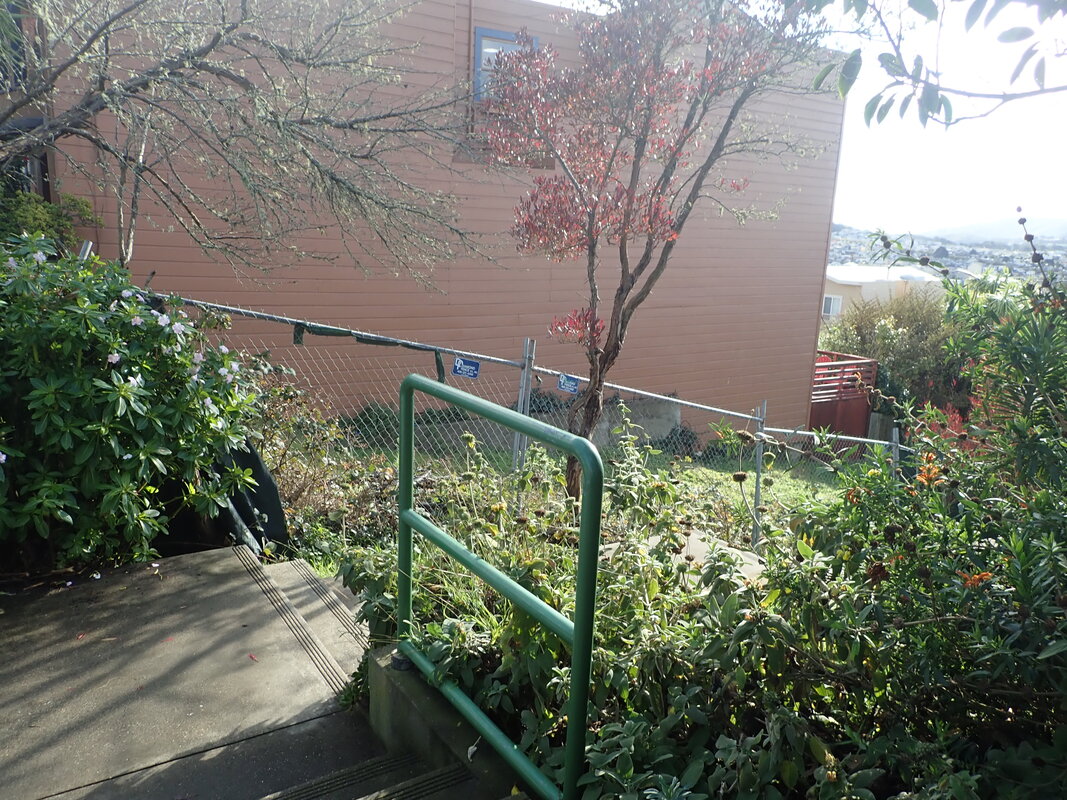
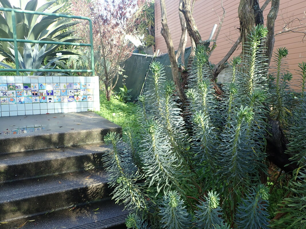
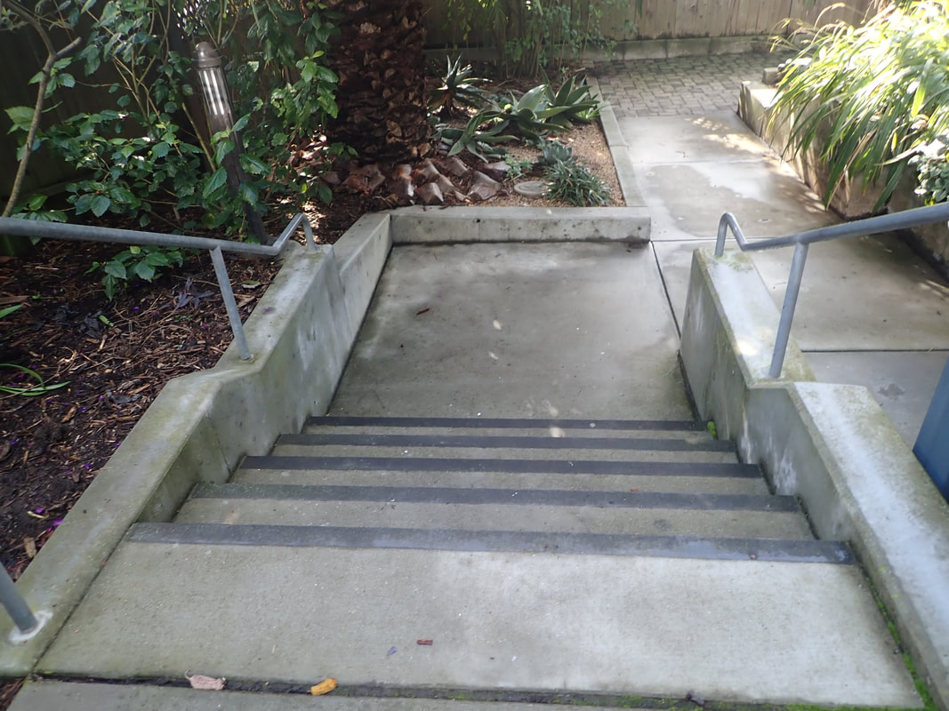
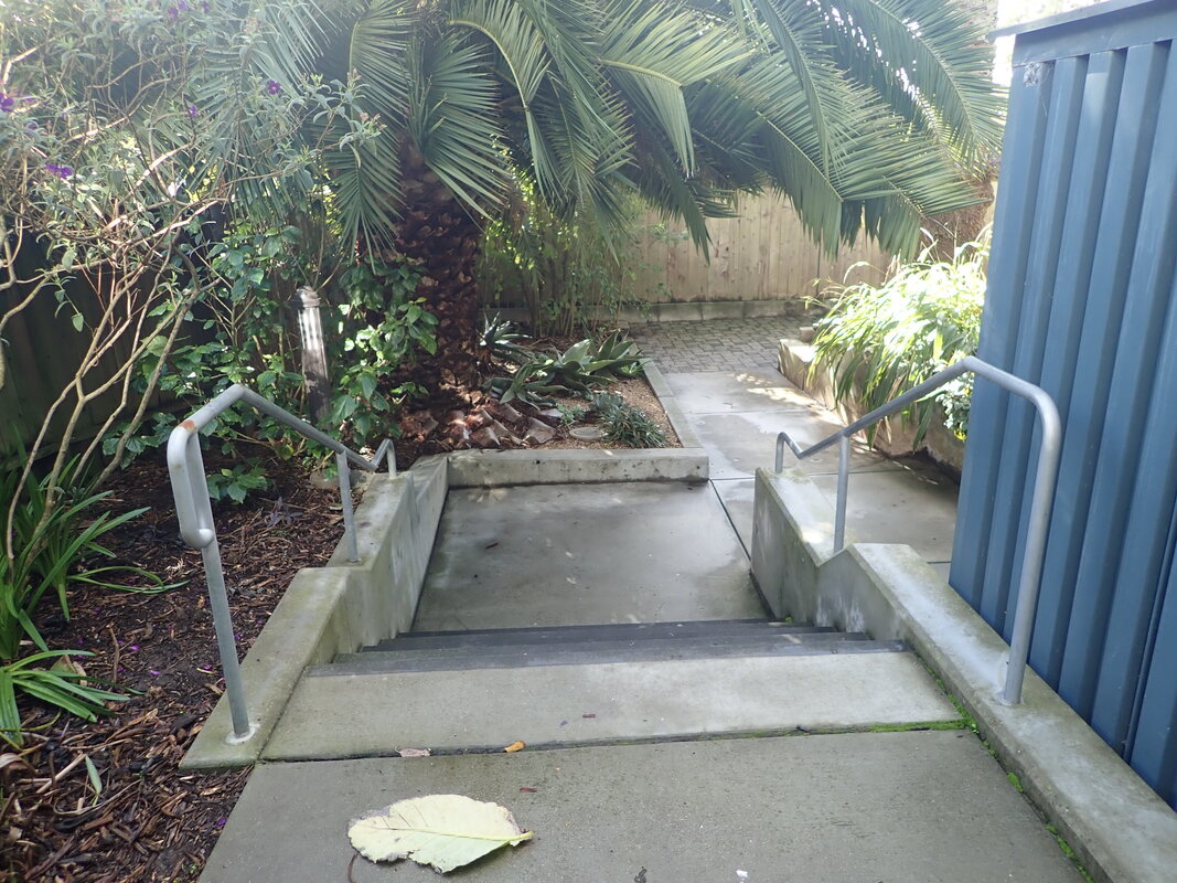
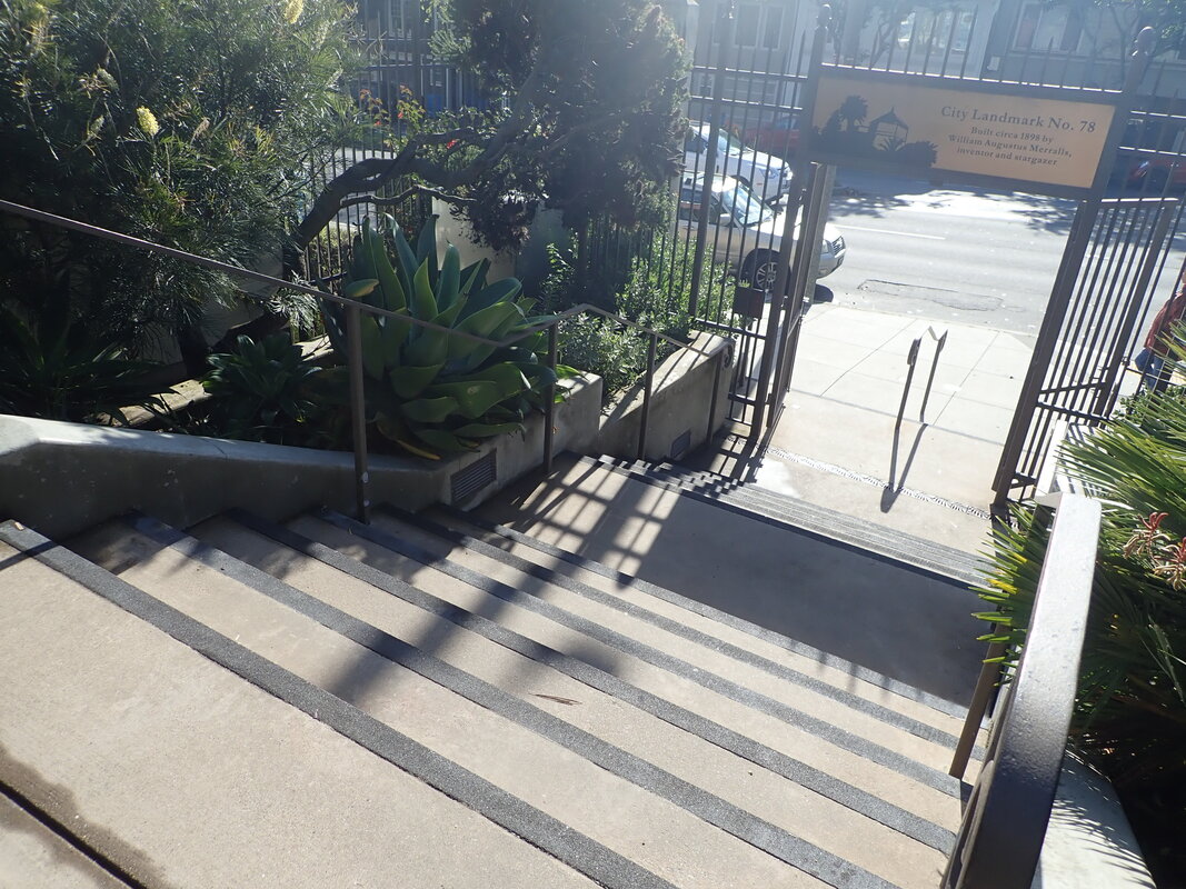
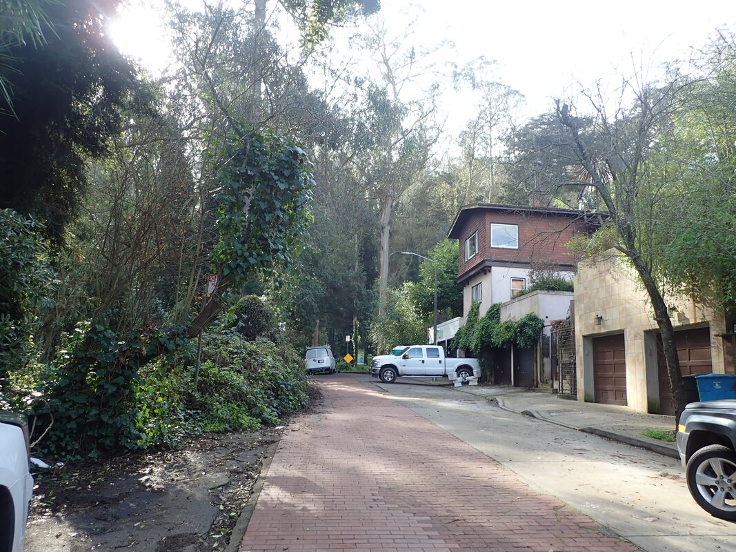
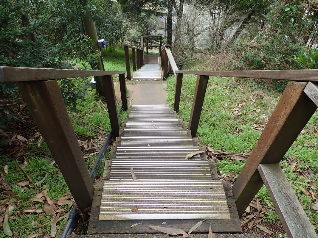
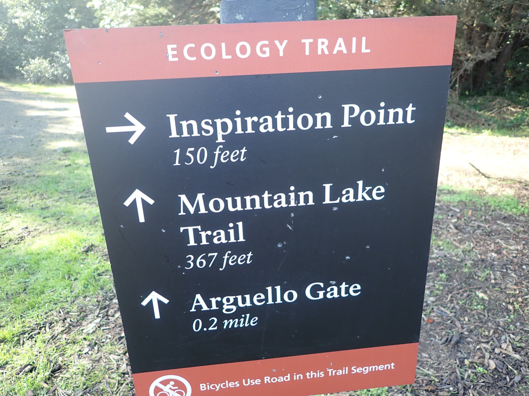
Off the #44 O’Shaughnessy bus at Elk & Bosworth. Between Elk and the Bosworth entrance to Glen Park Rec. Center/Glen Canyon Park is this stairway down to a playing field: 1
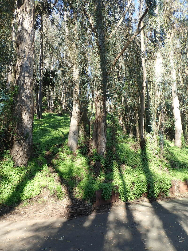
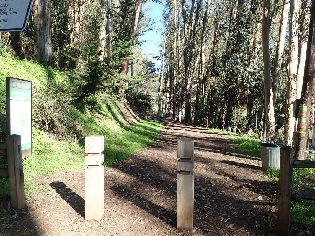
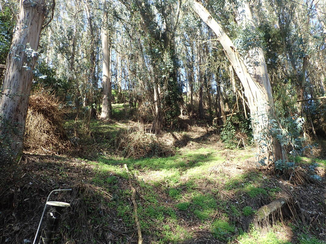
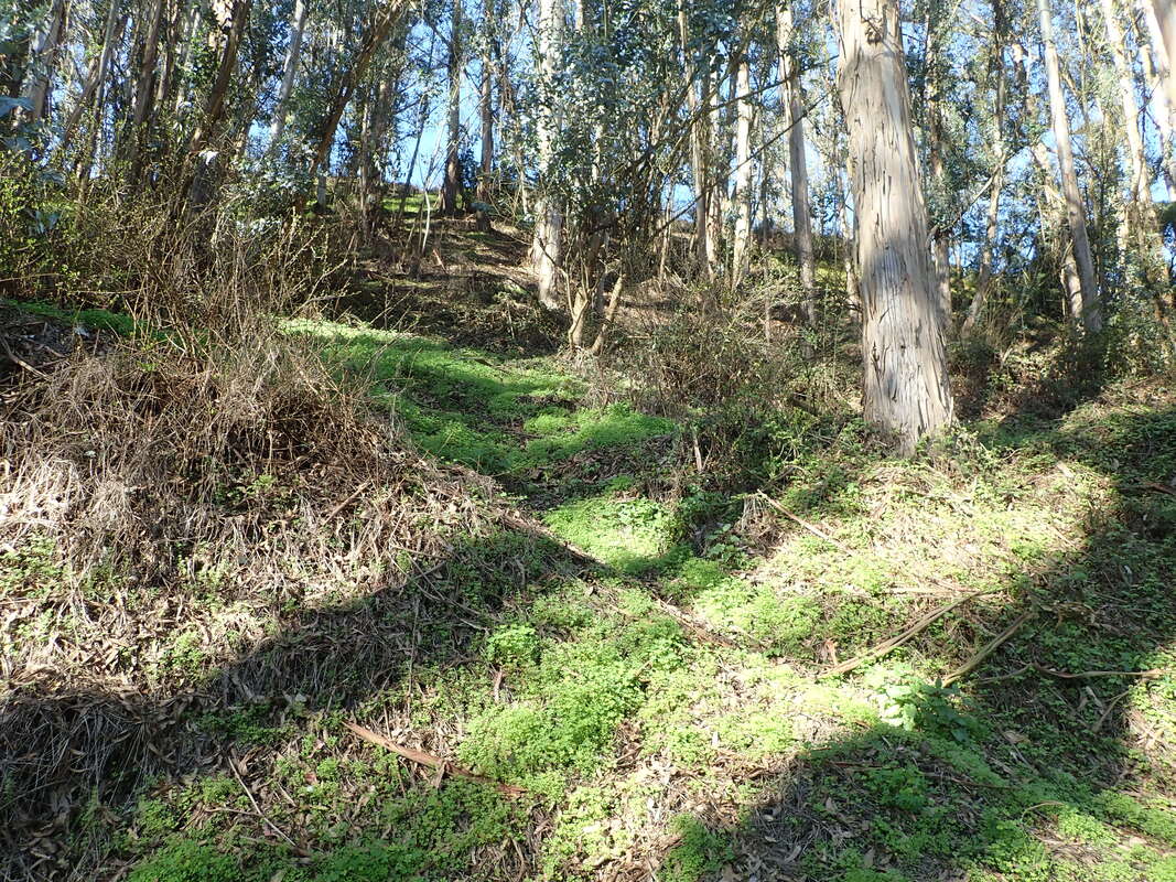
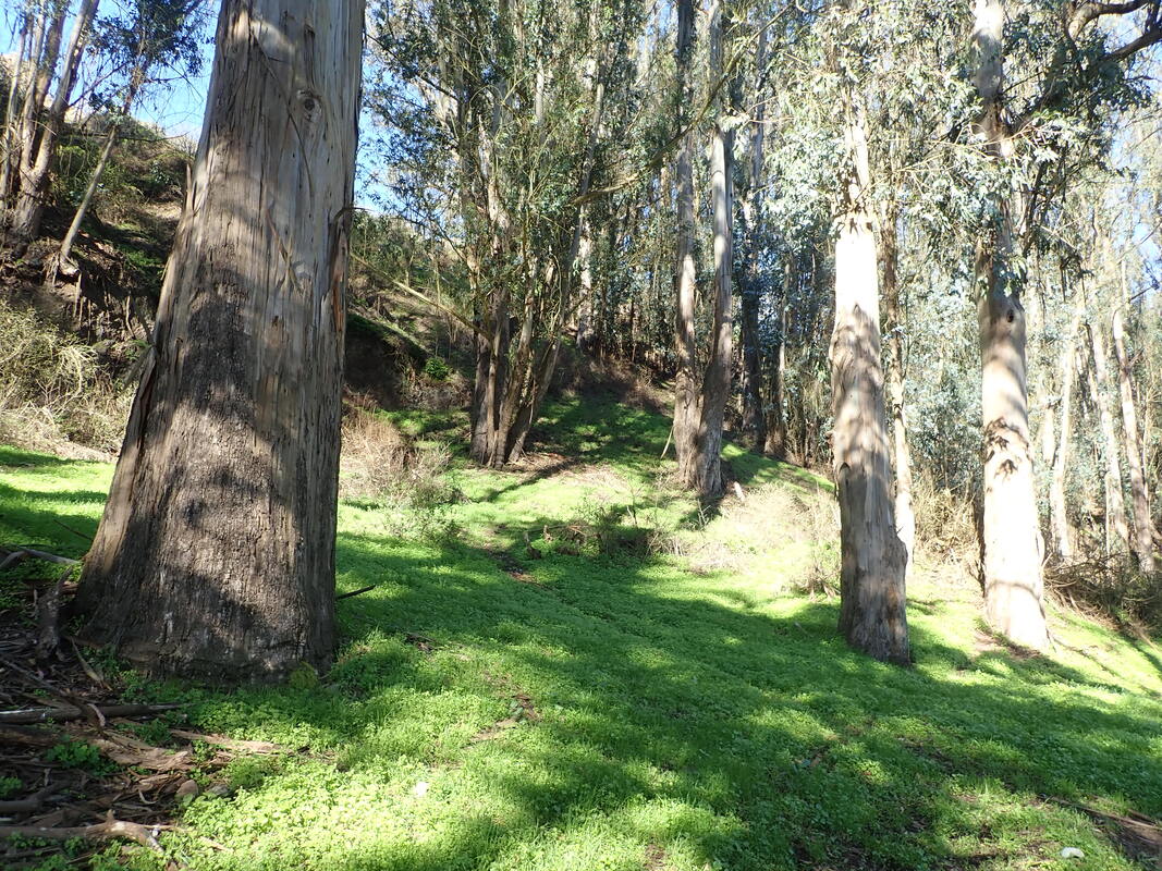
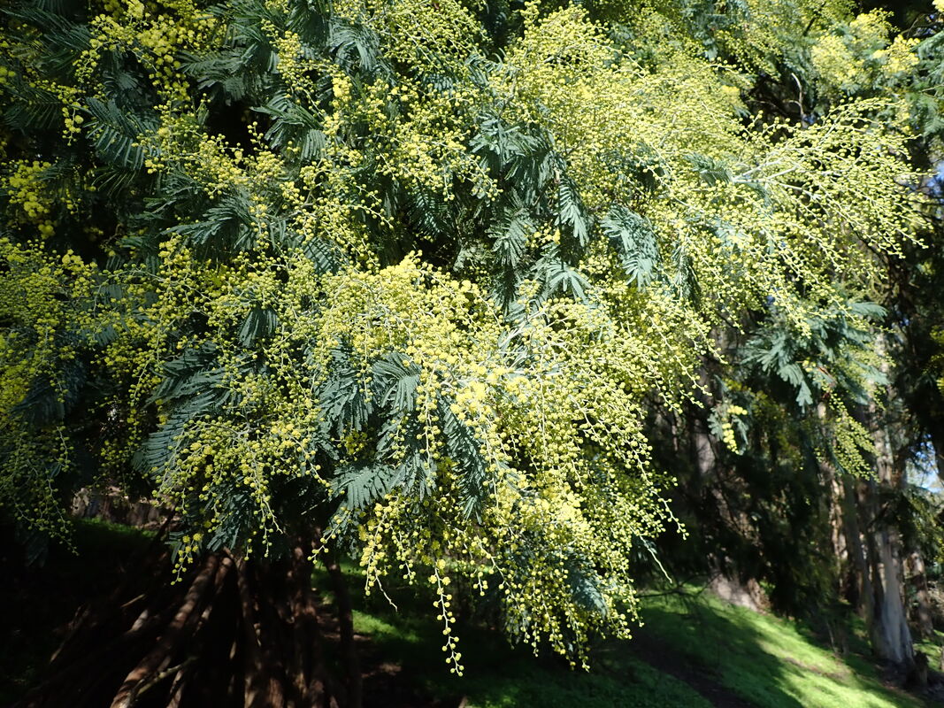
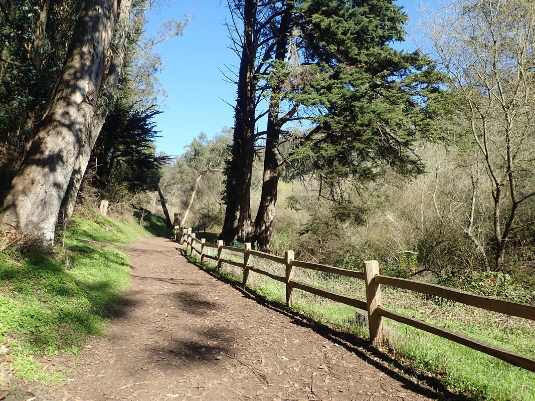
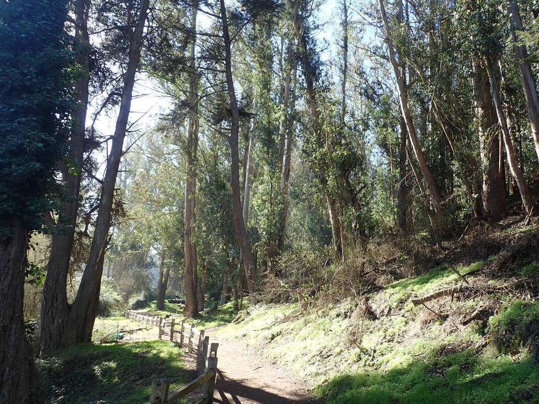
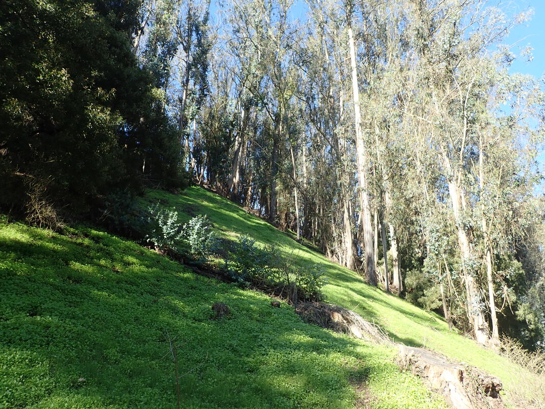
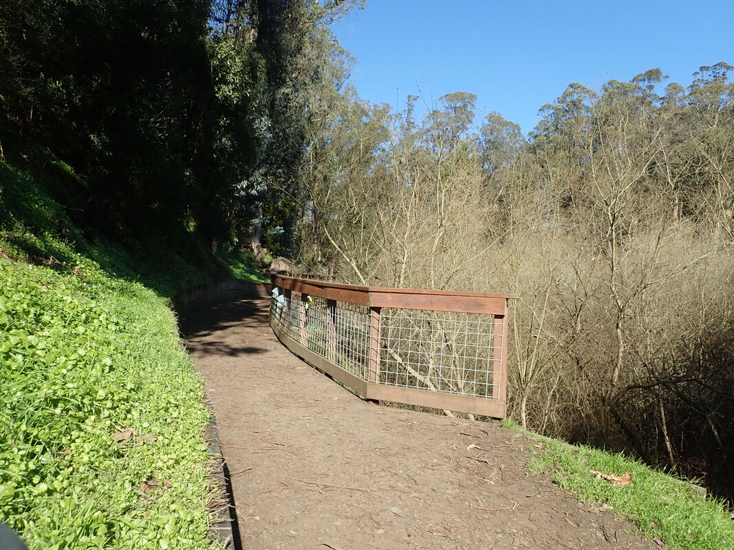
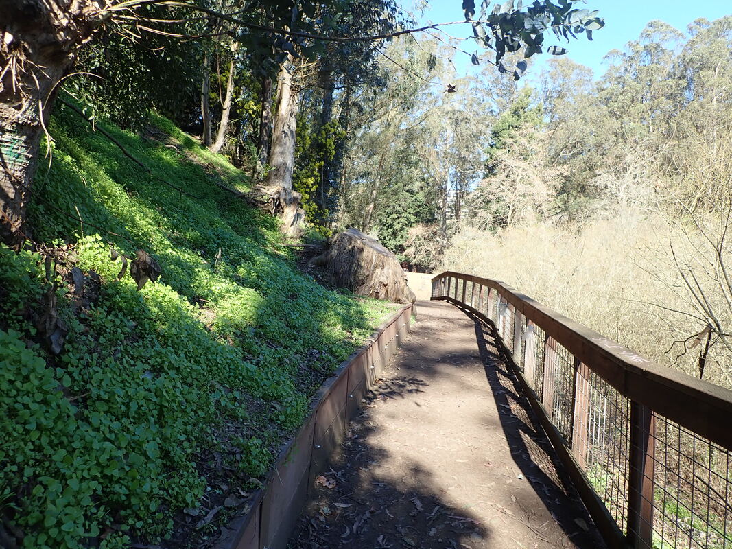
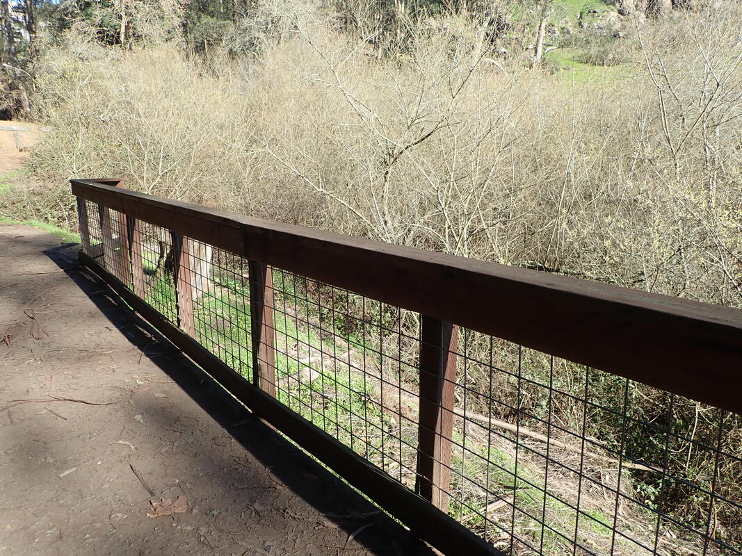
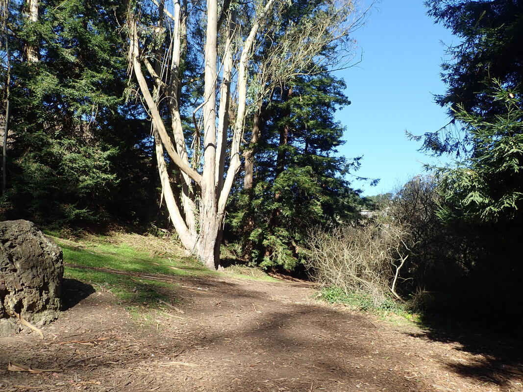
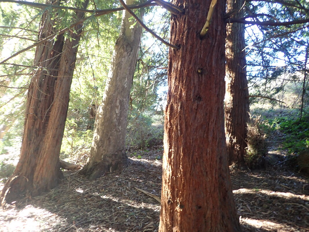
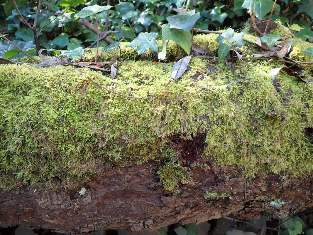
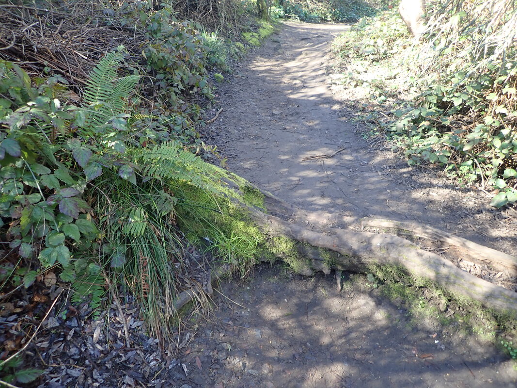
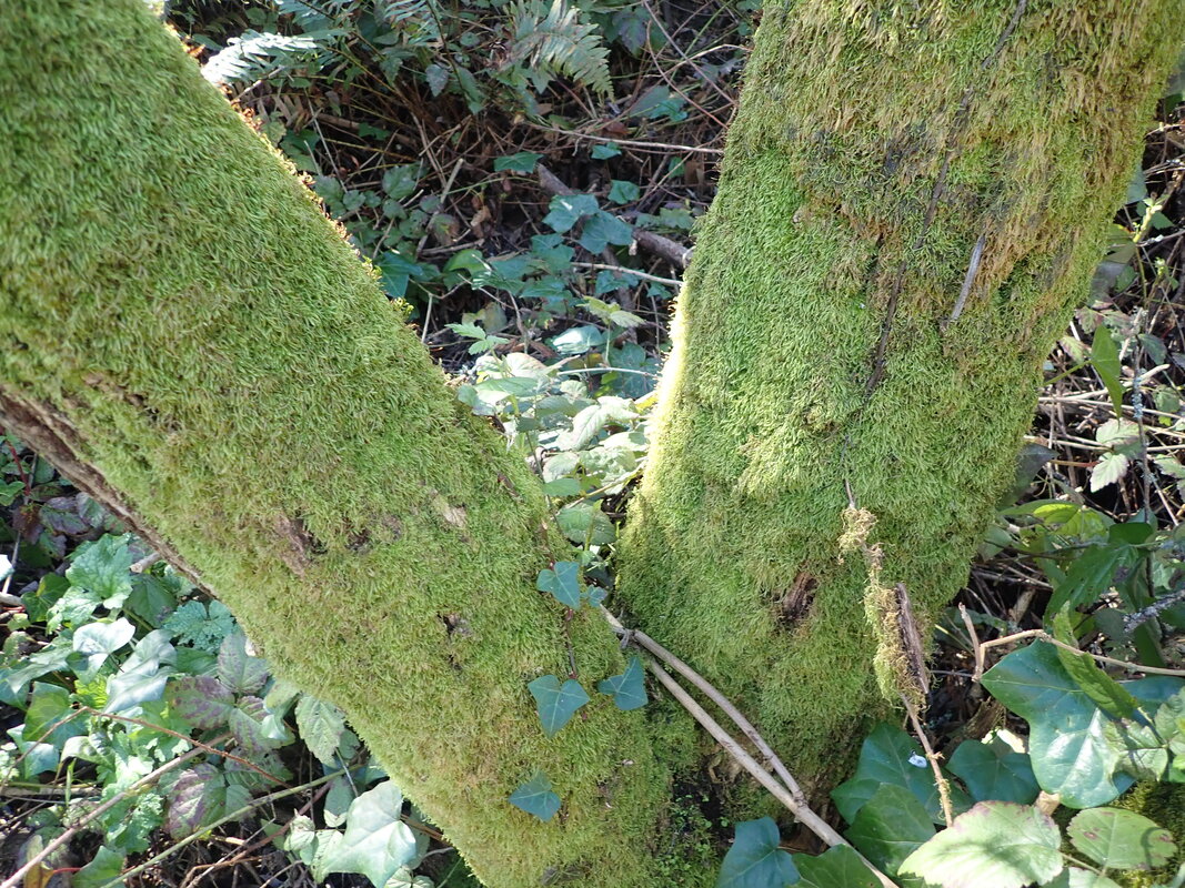
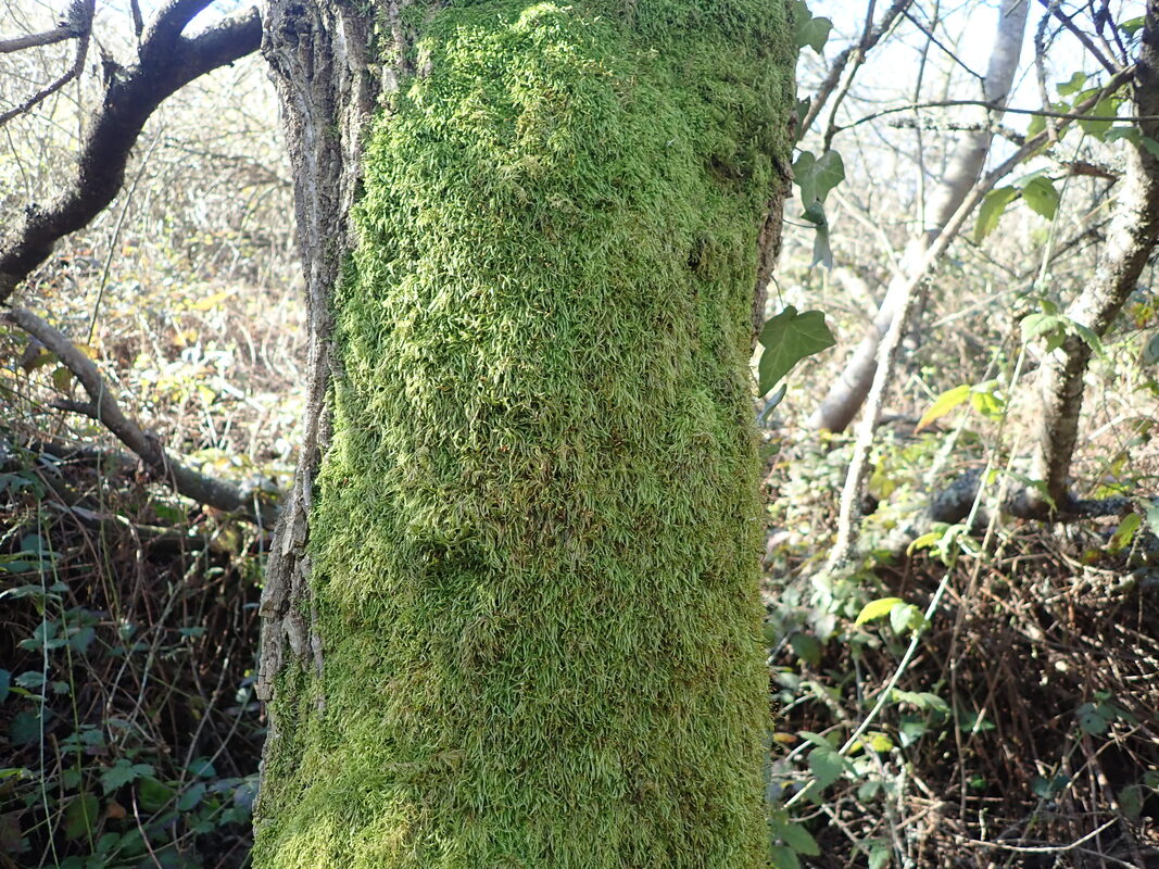
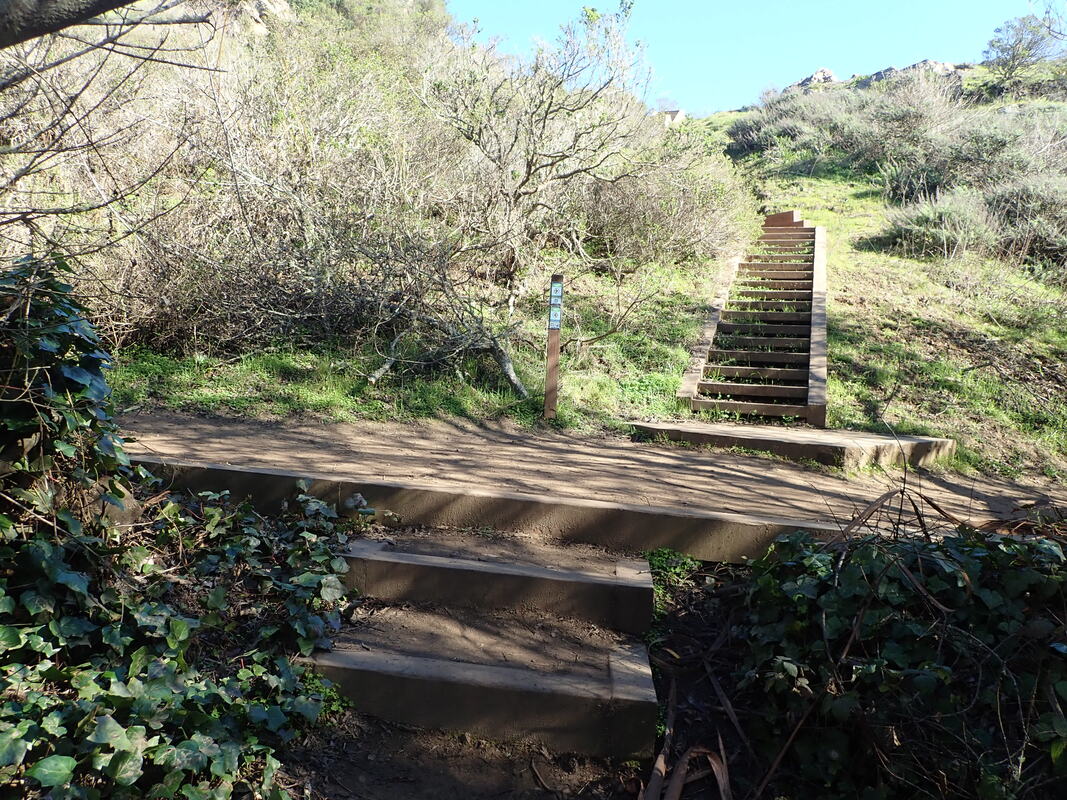
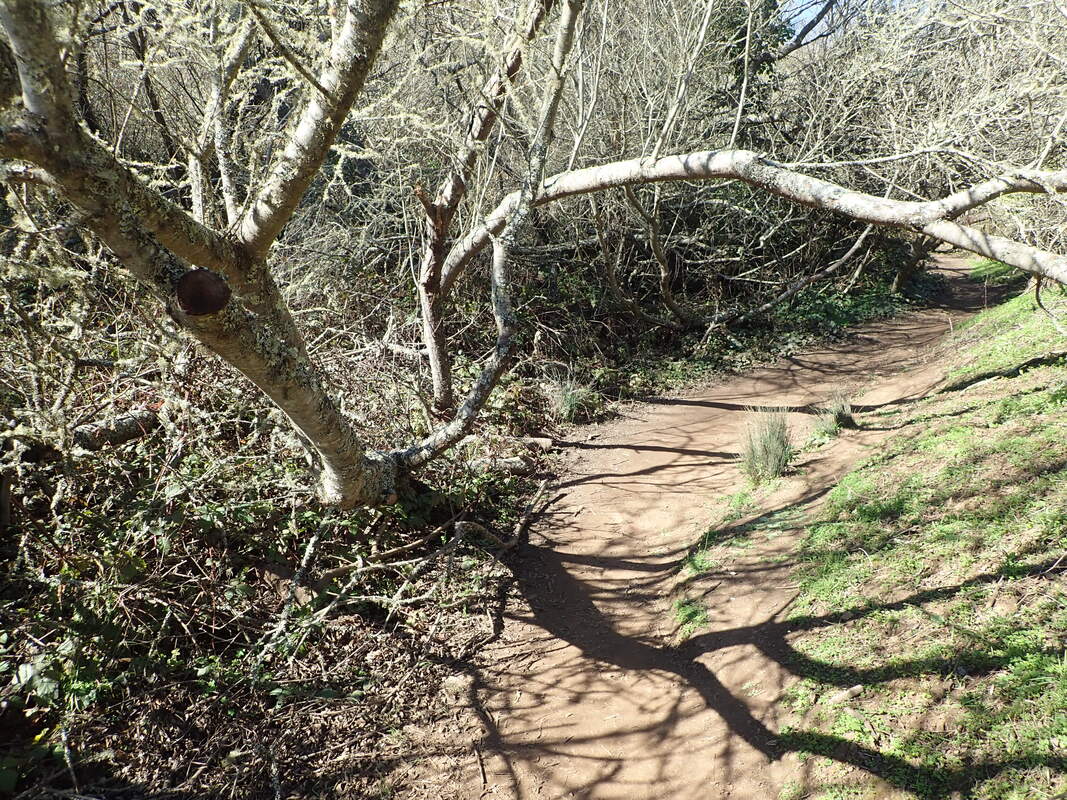
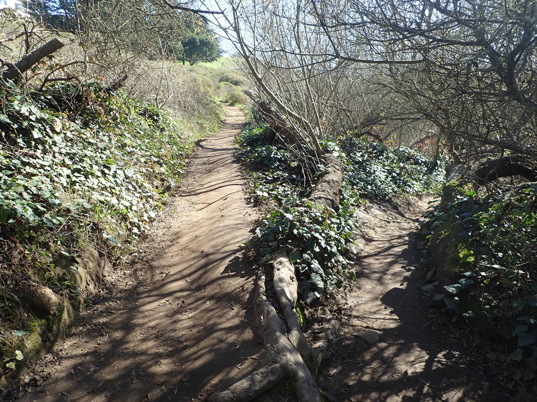
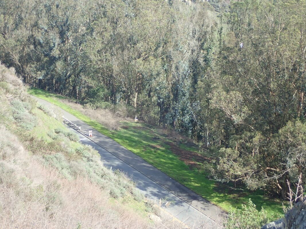
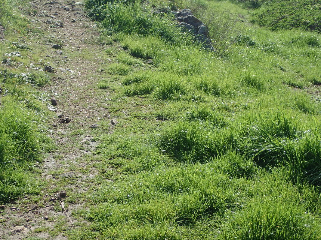
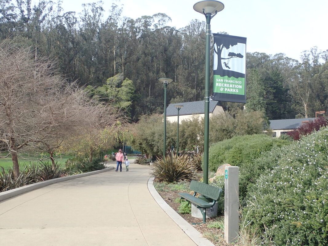
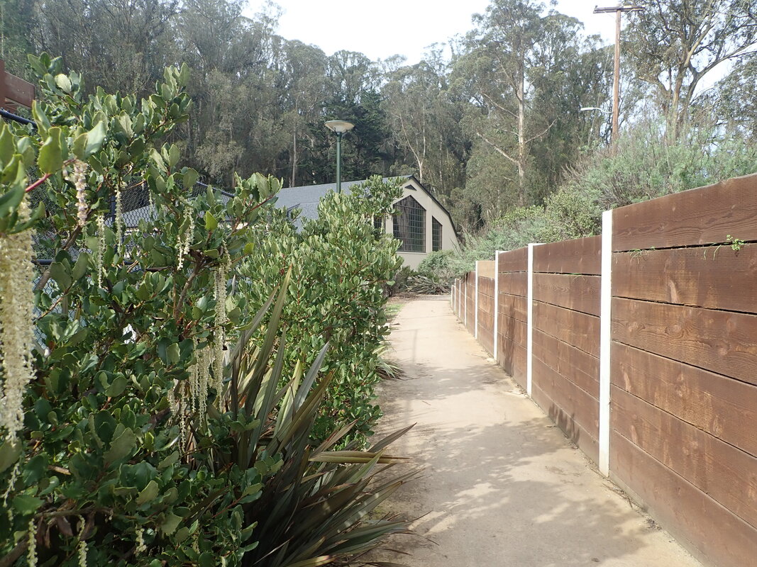
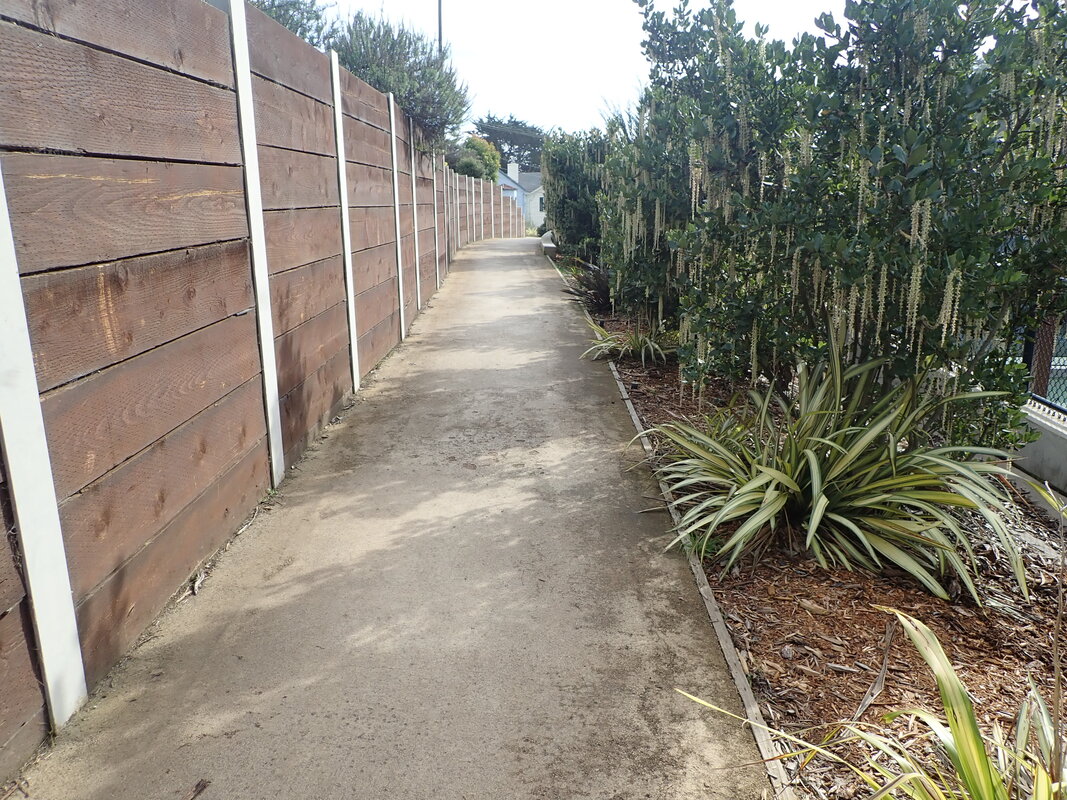
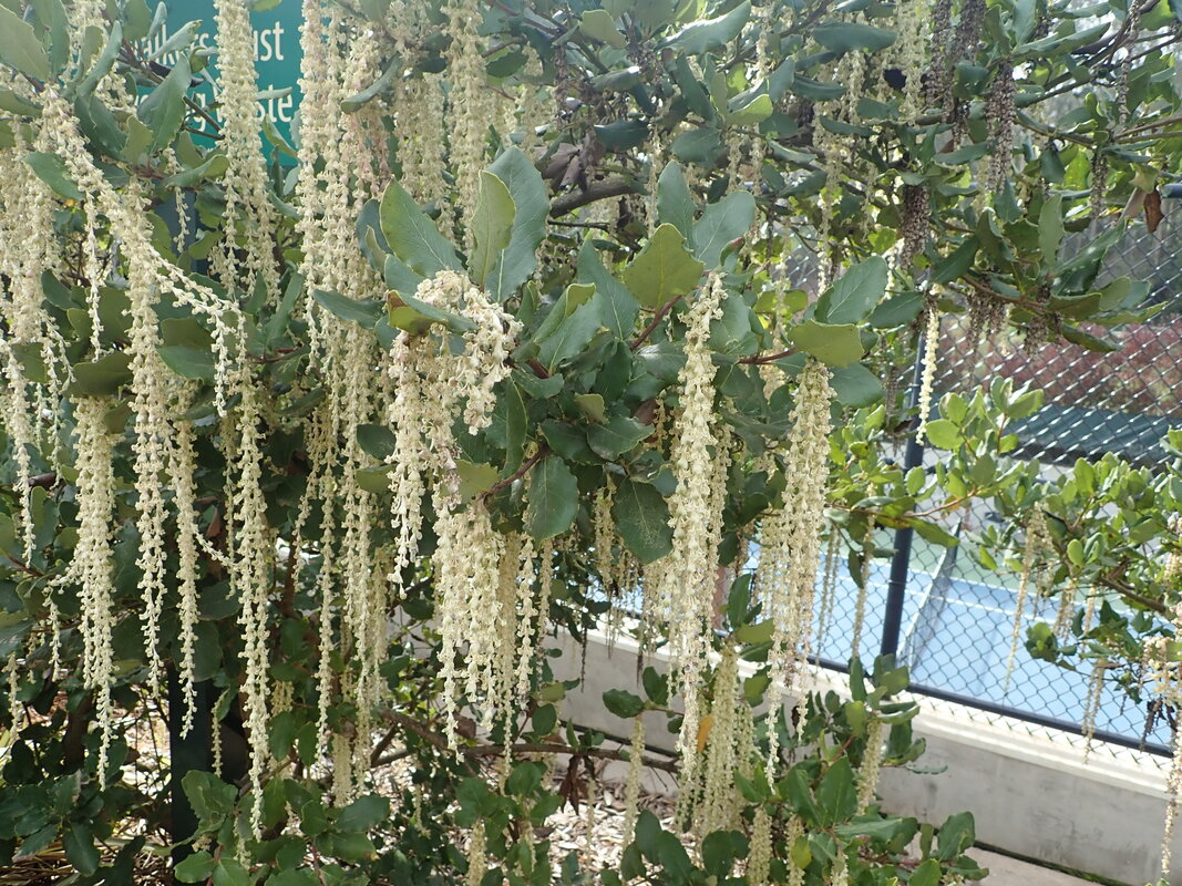
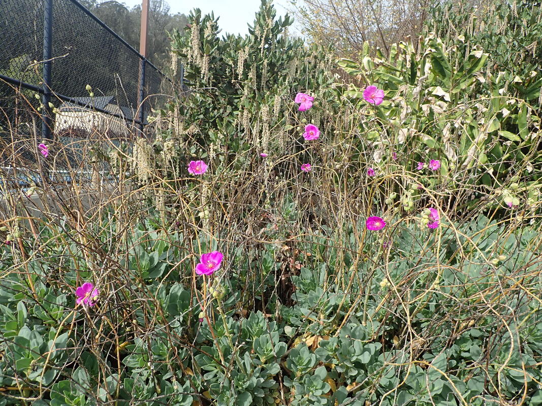
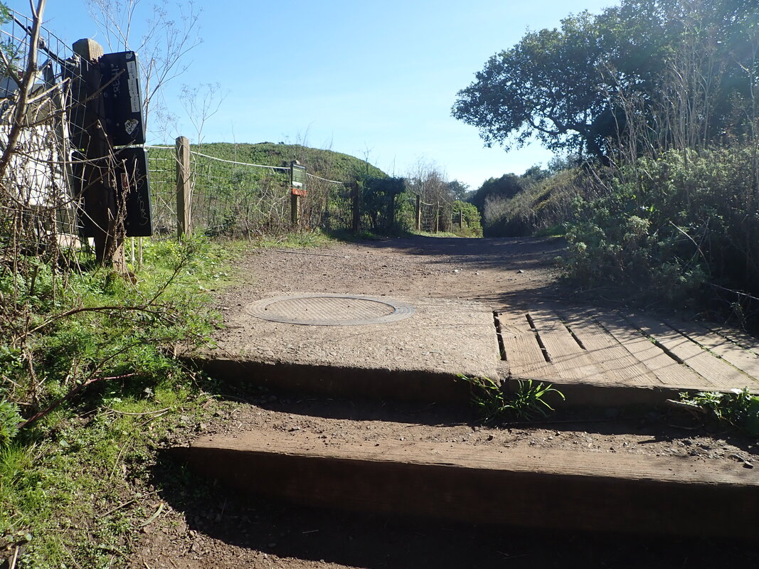
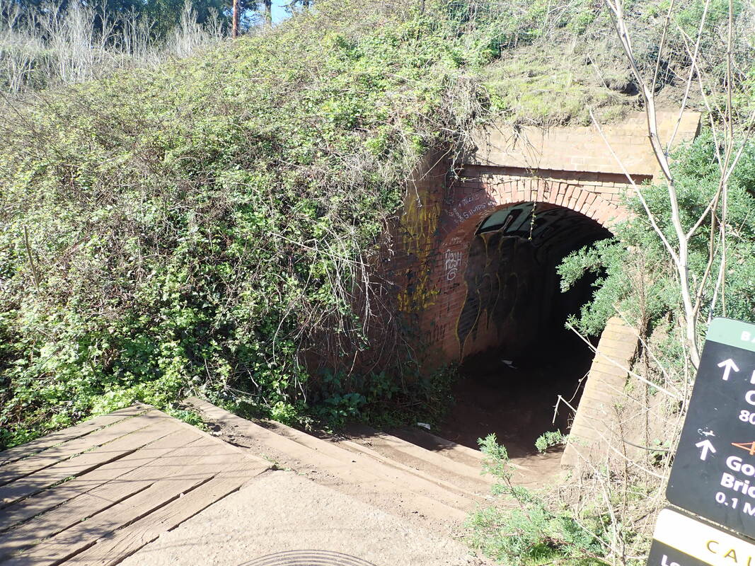
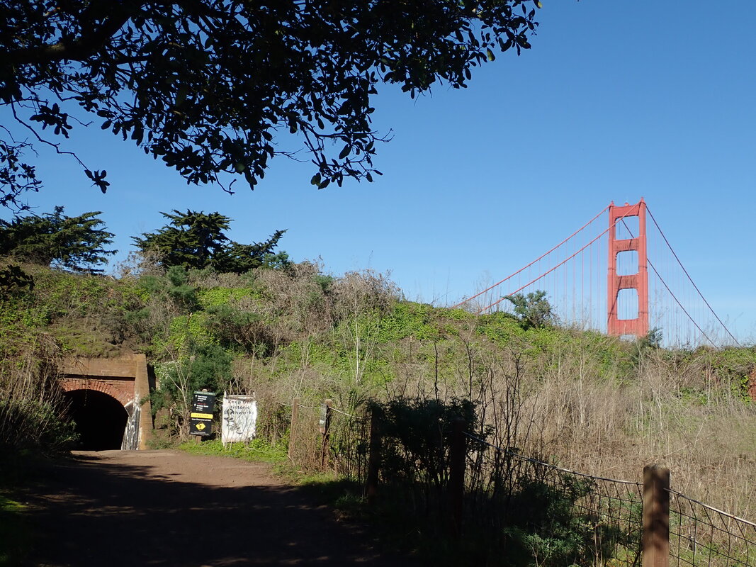
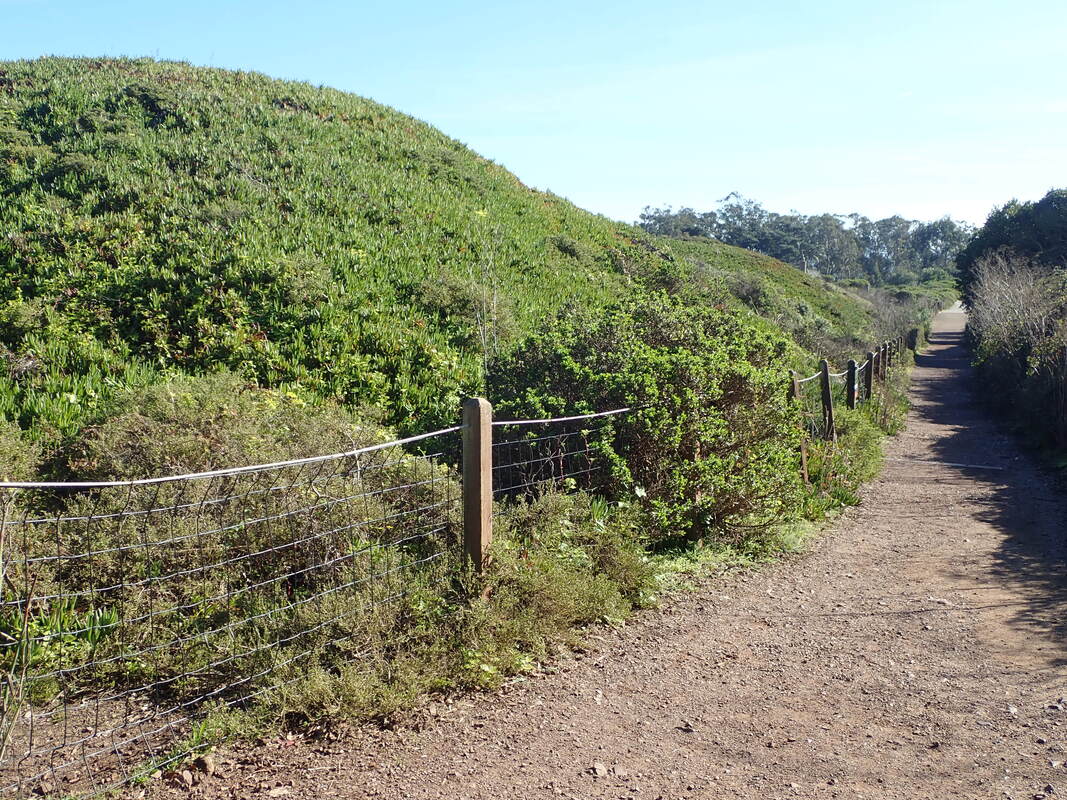
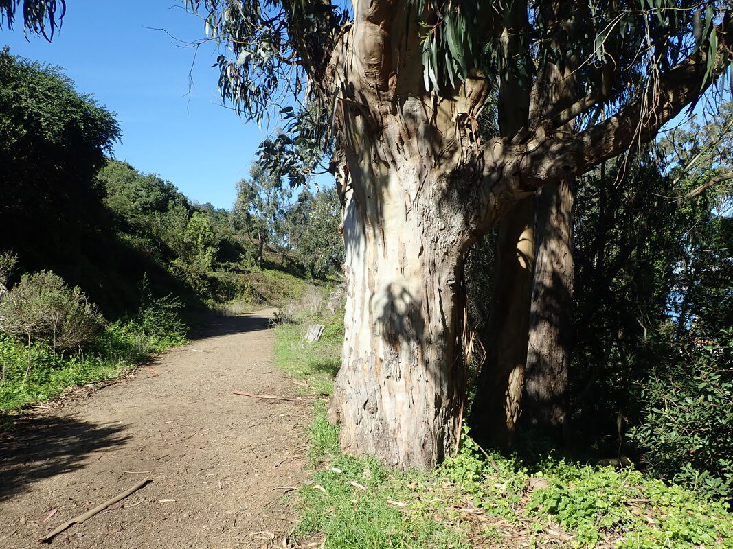
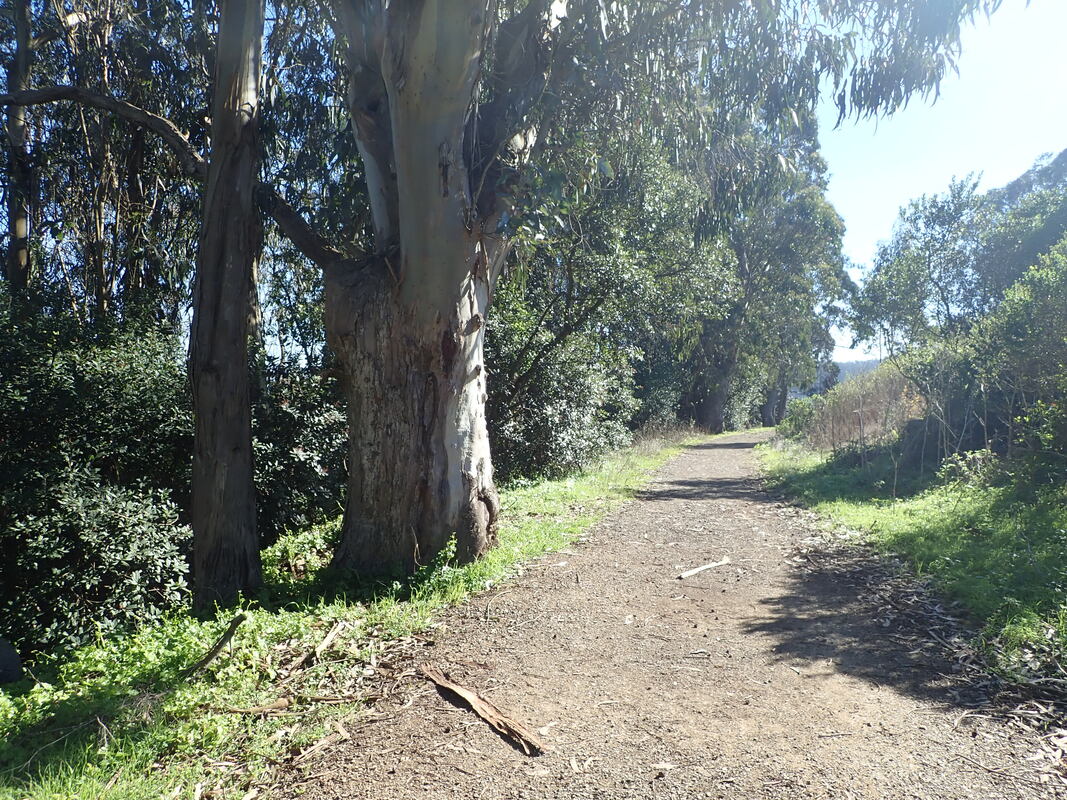
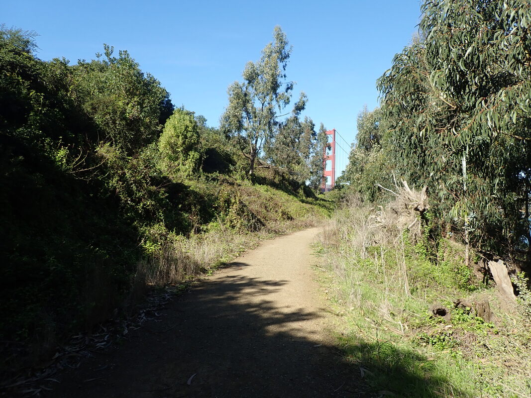
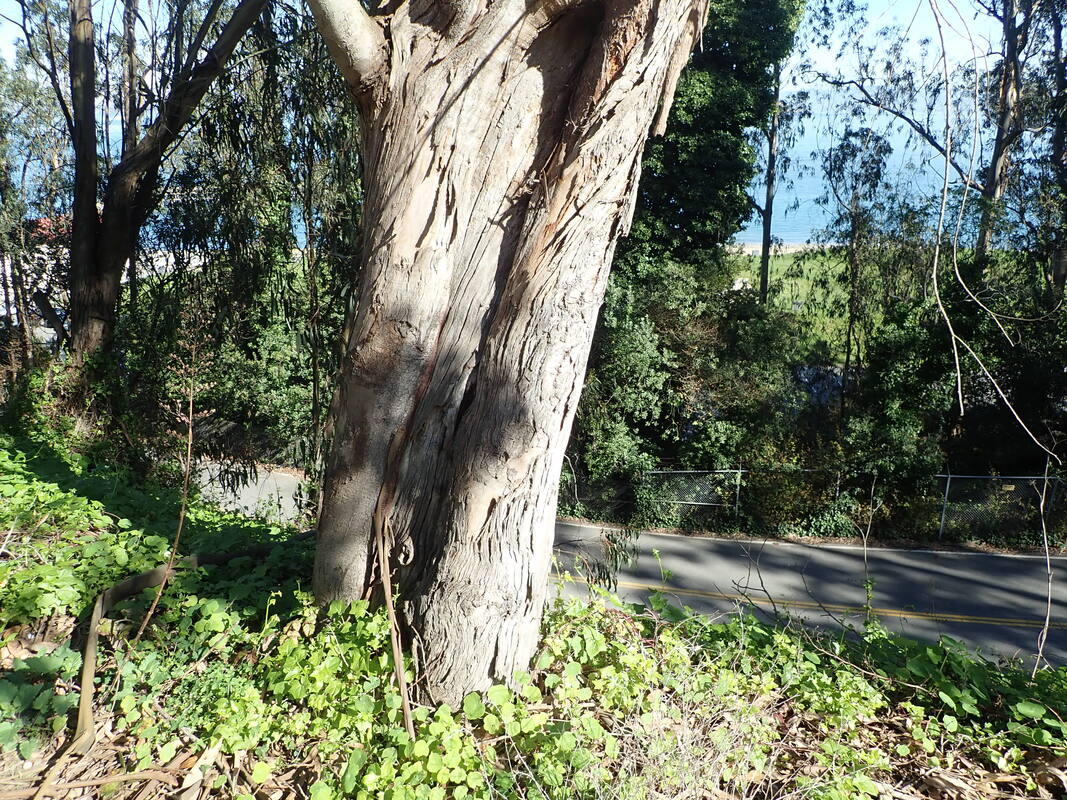
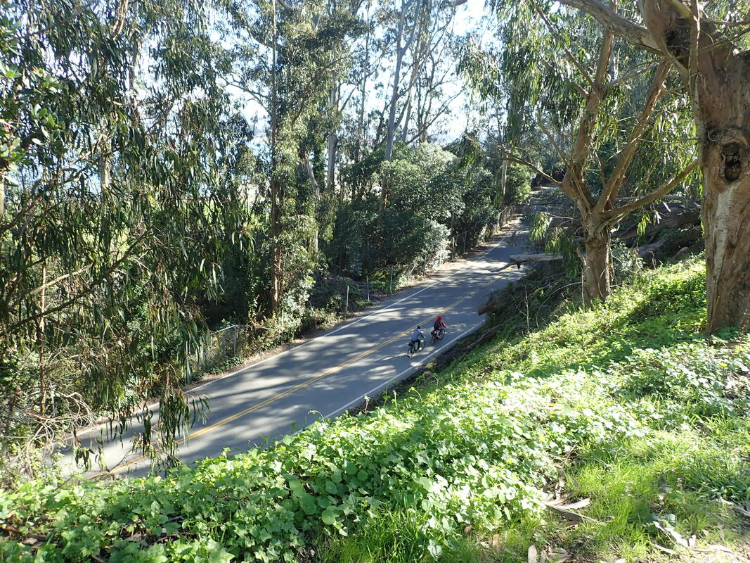
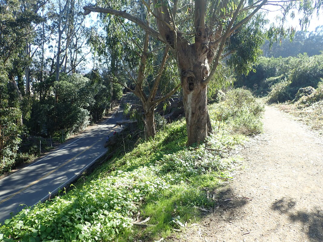
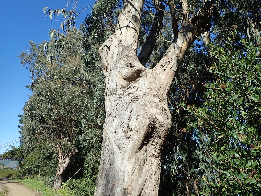
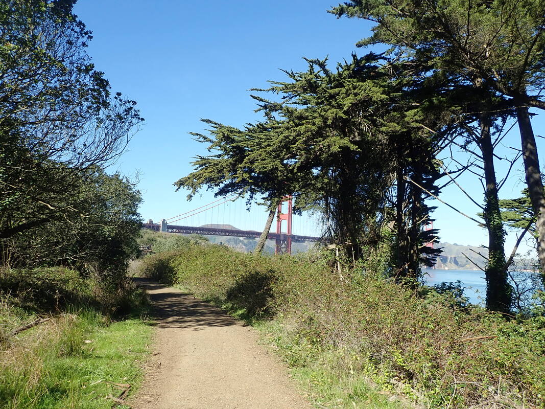
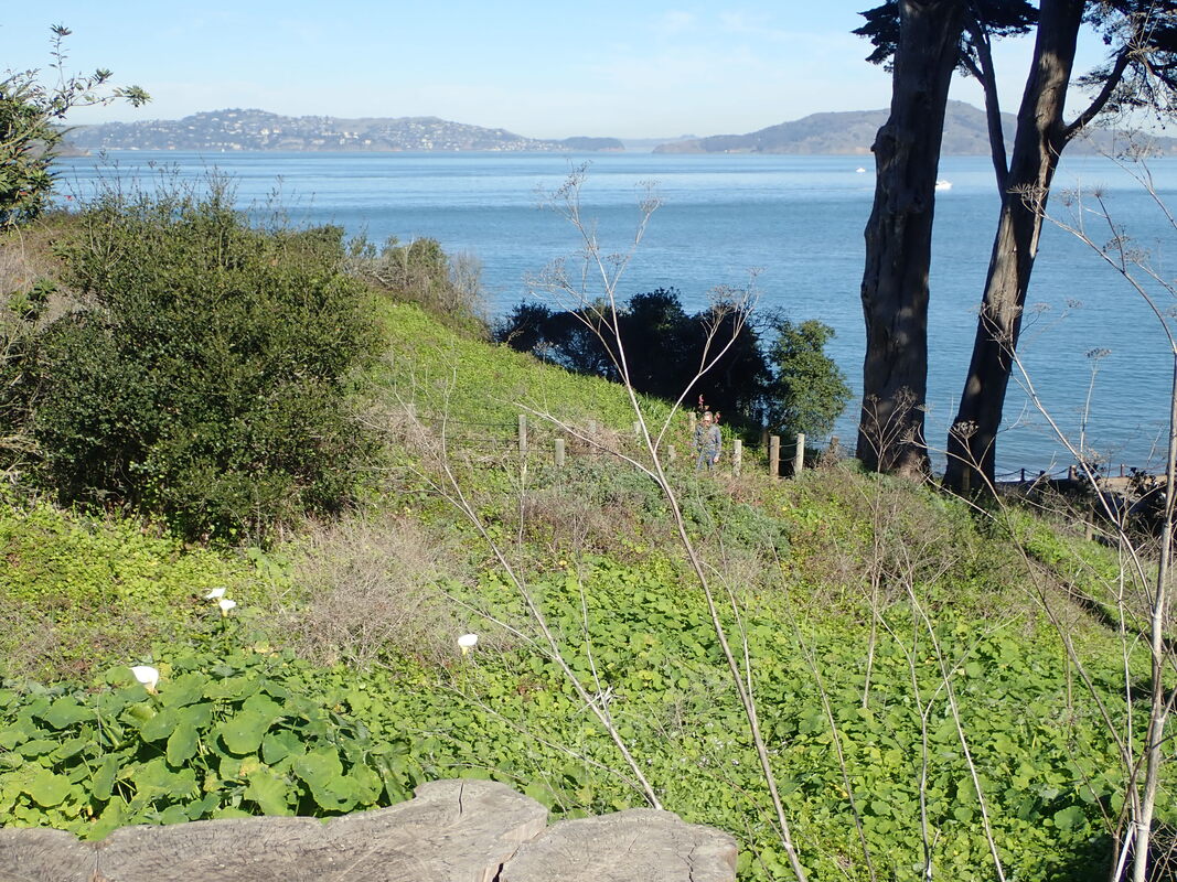
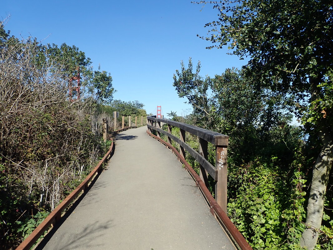
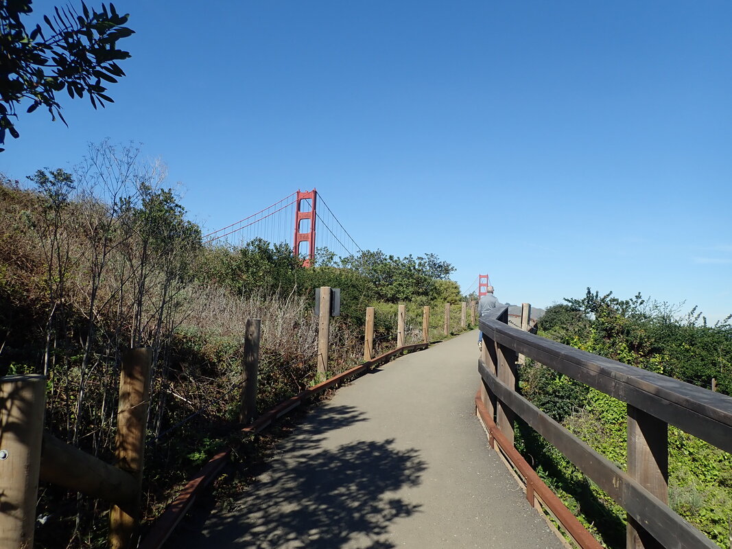
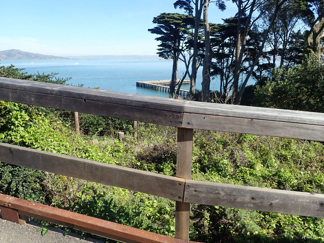
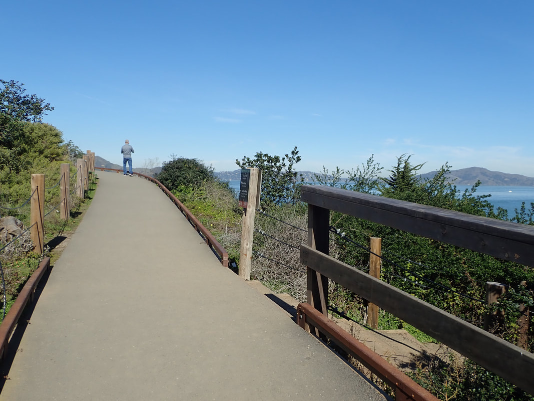
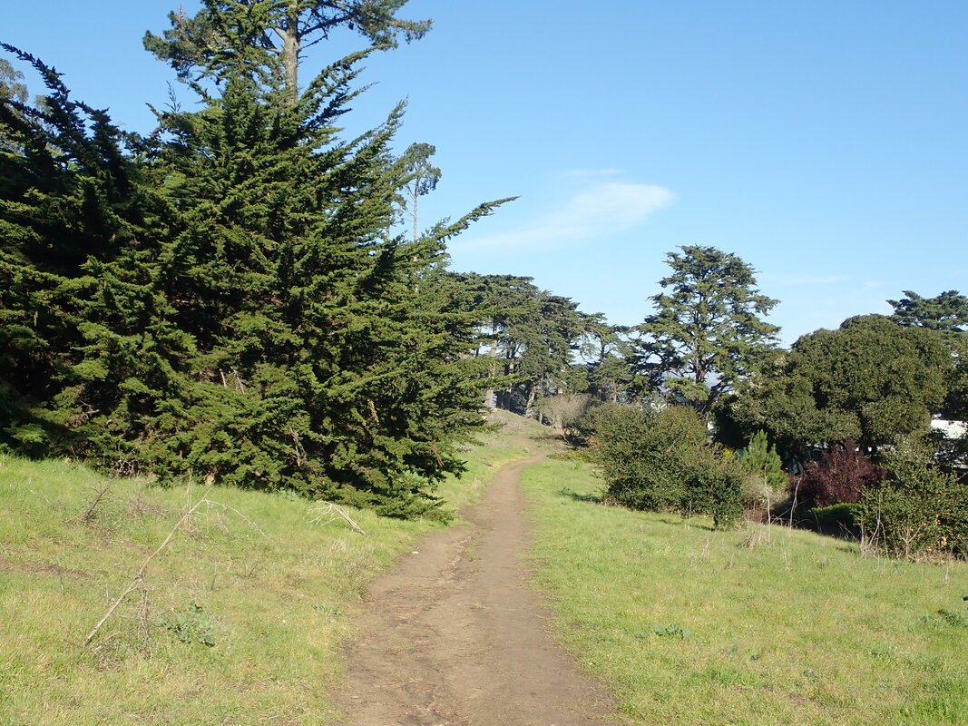
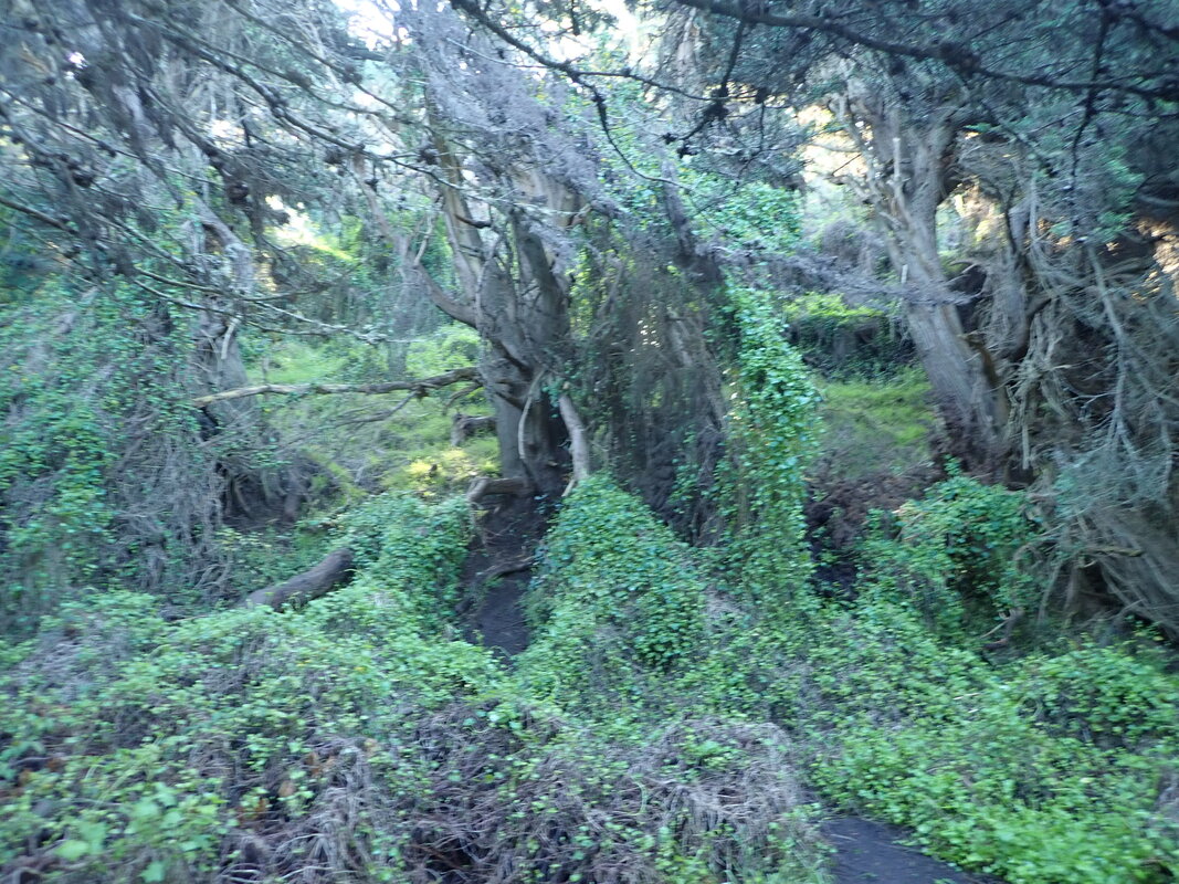
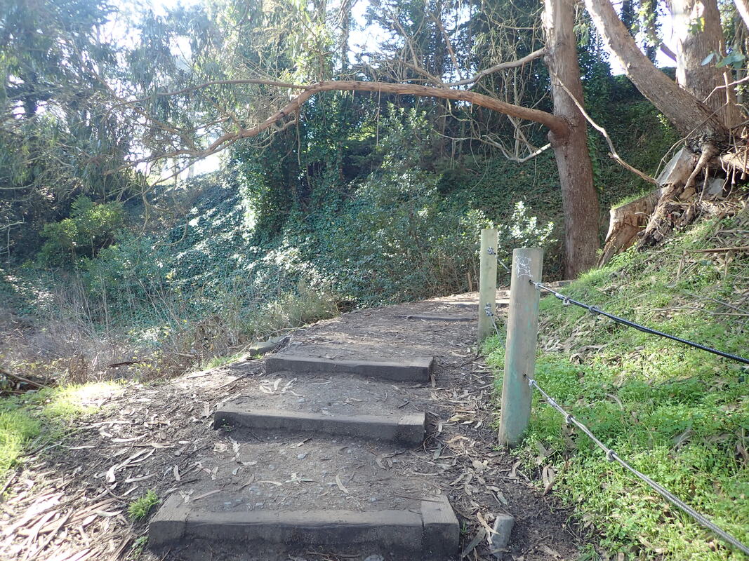
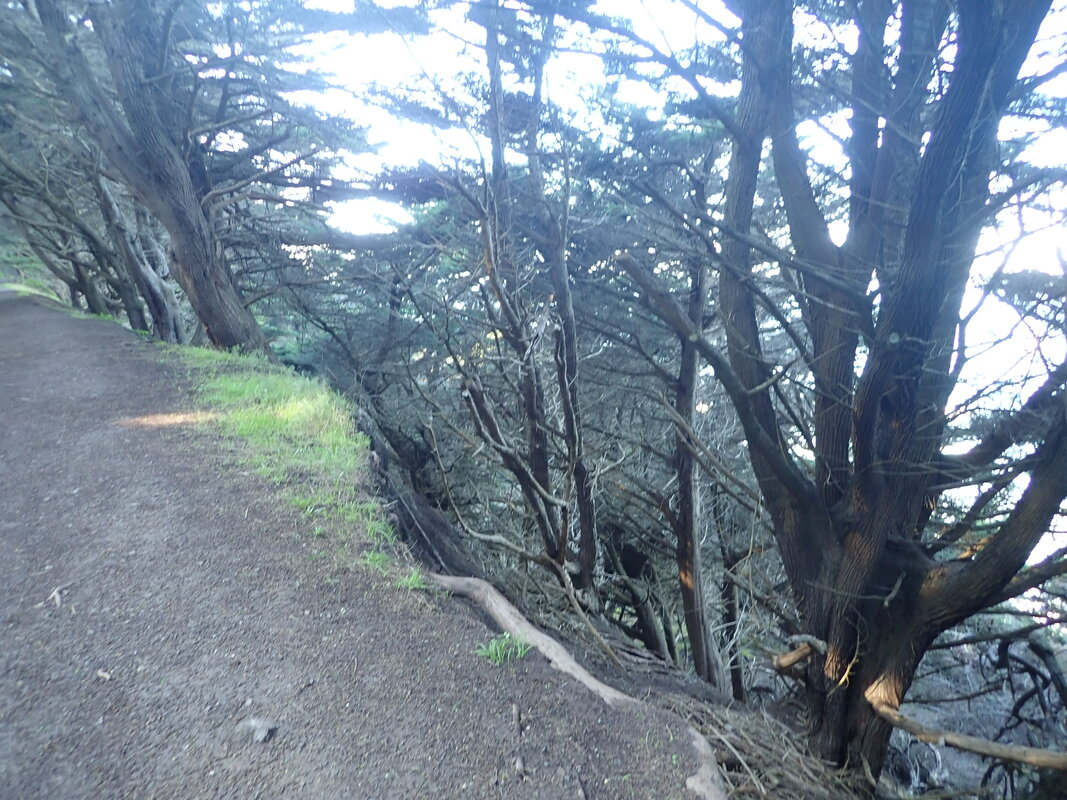
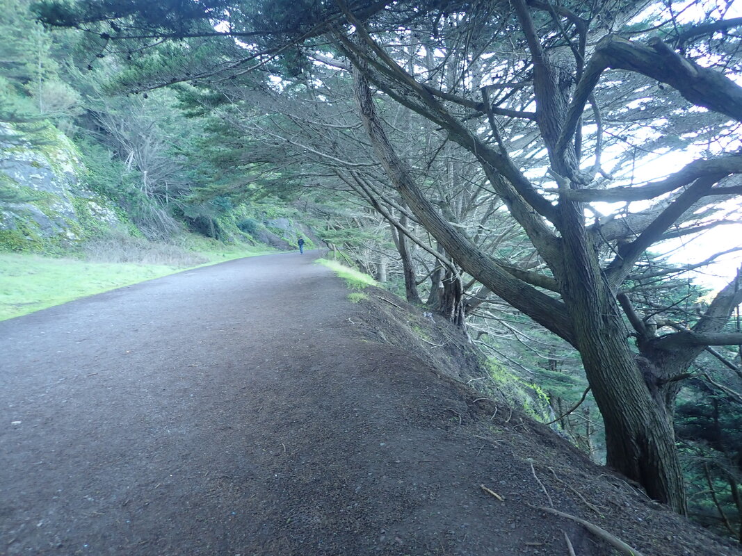
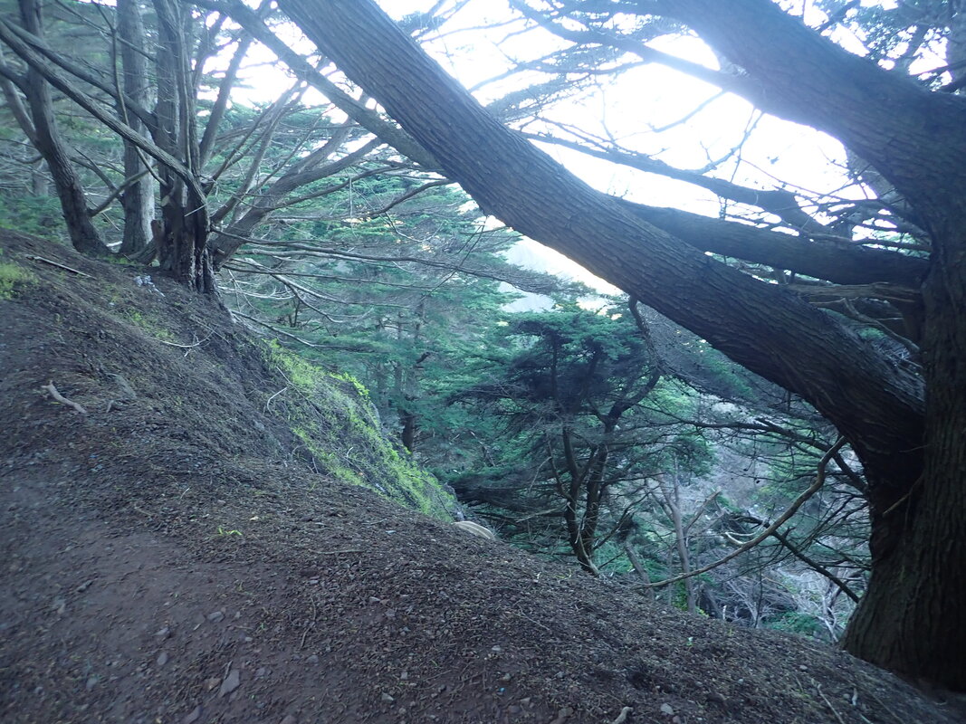
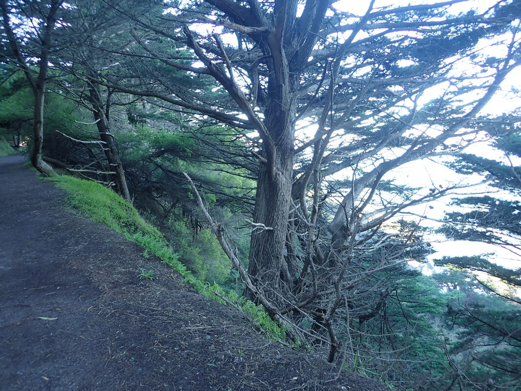
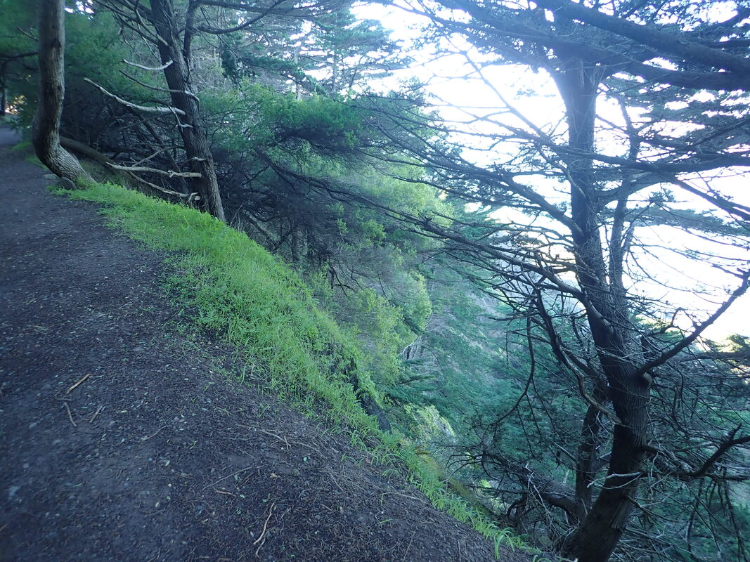
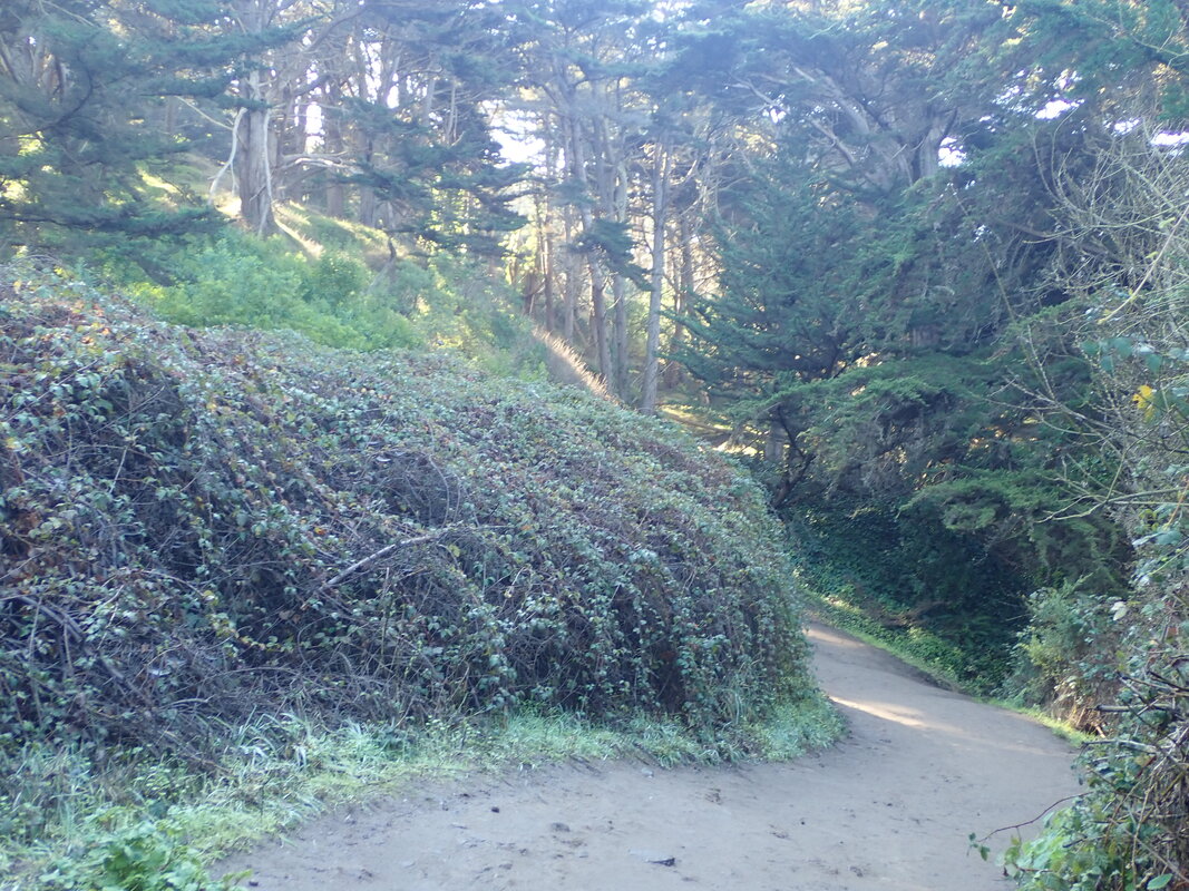
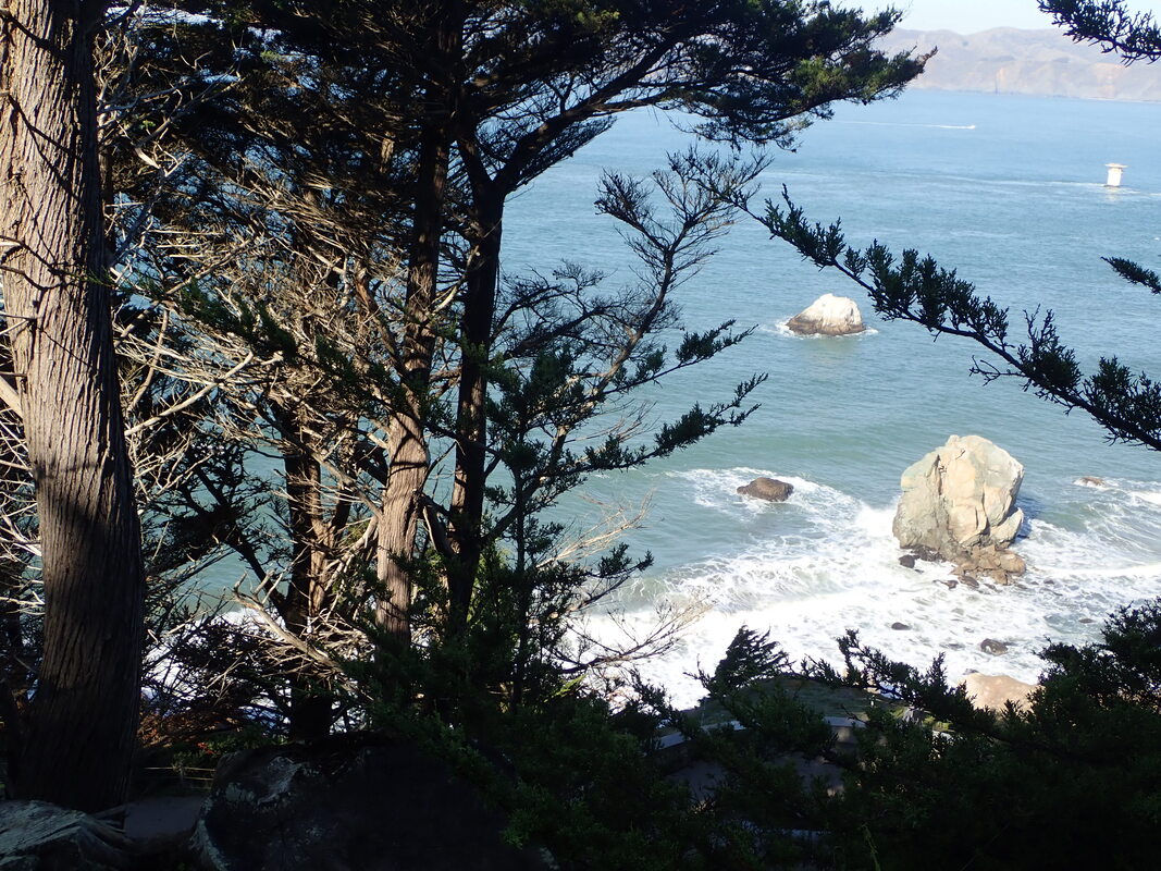
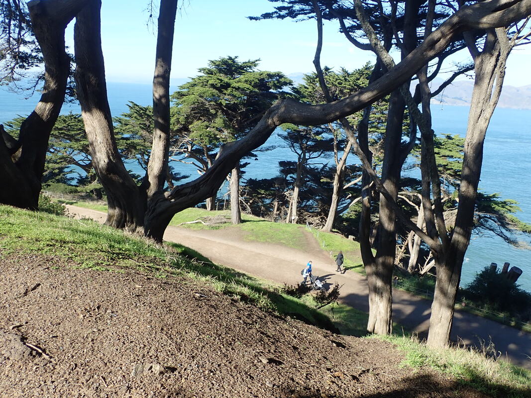
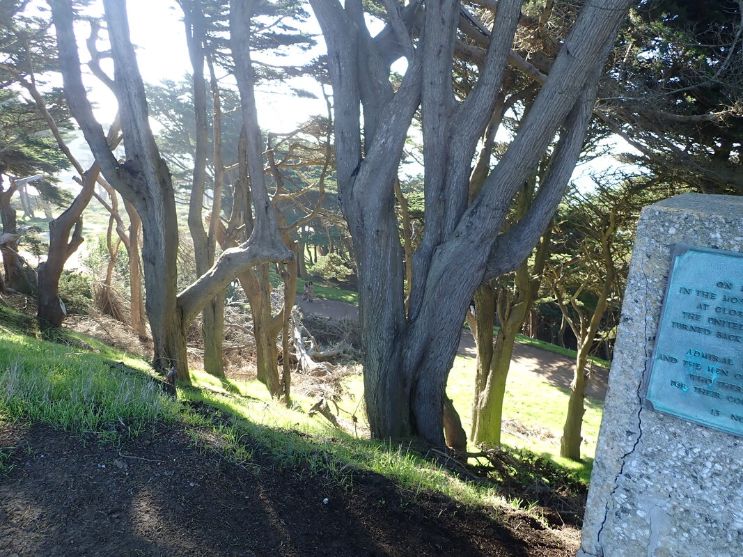
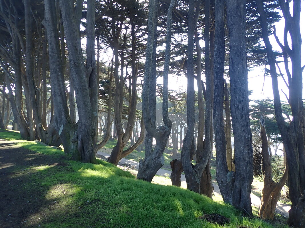
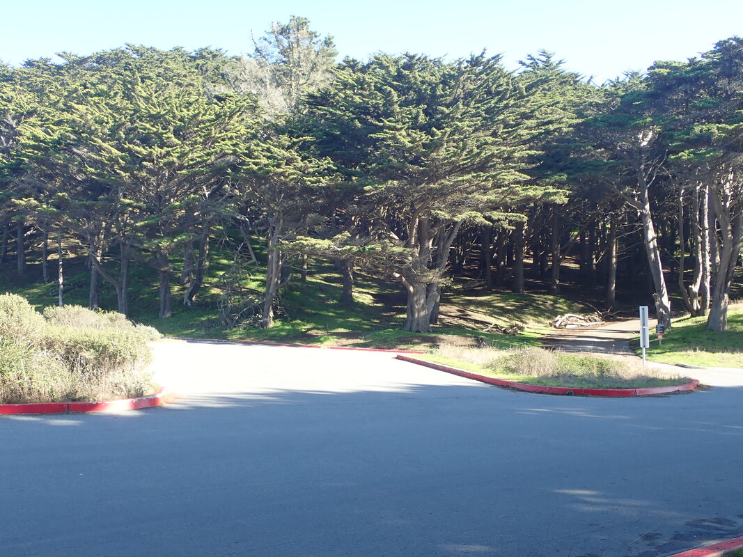
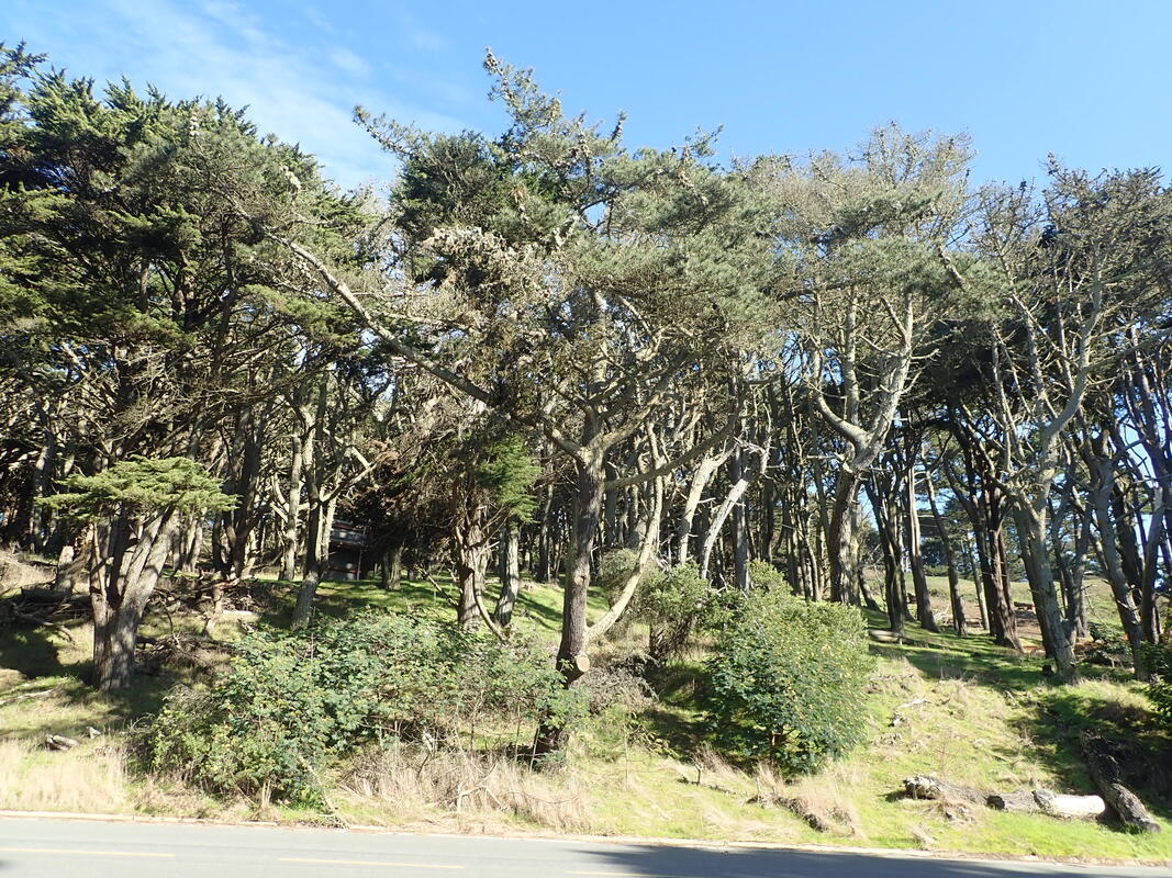
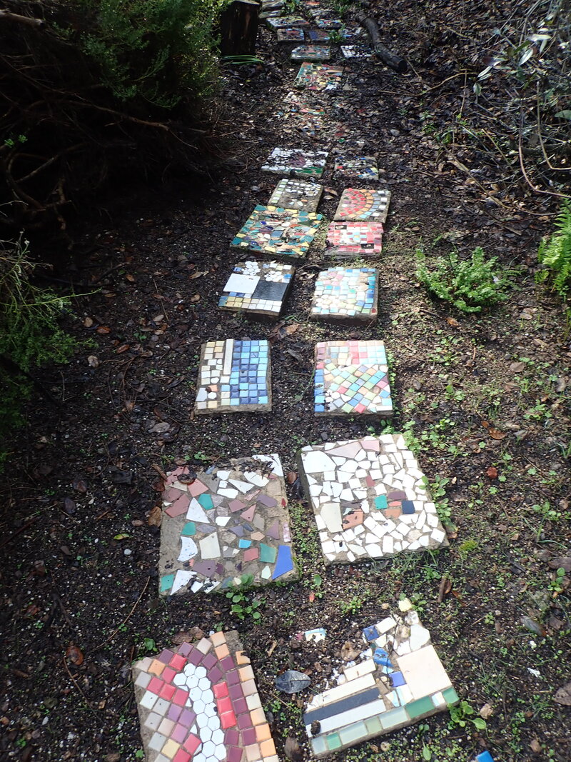
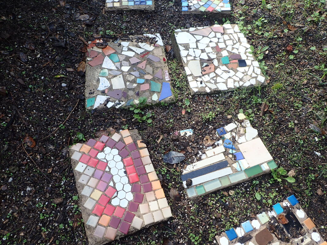
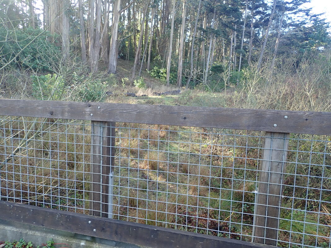
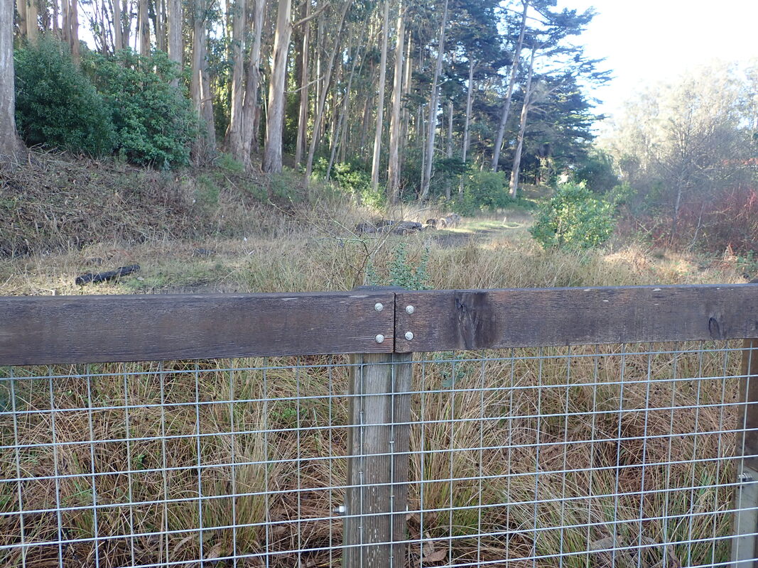
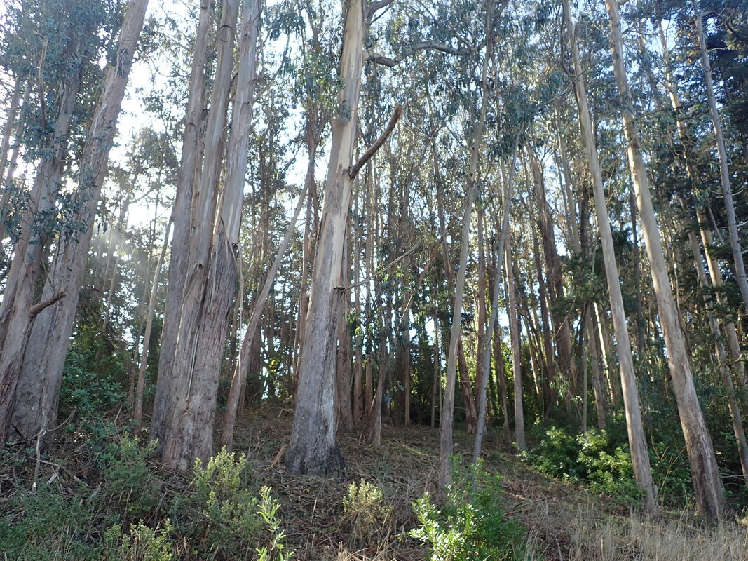
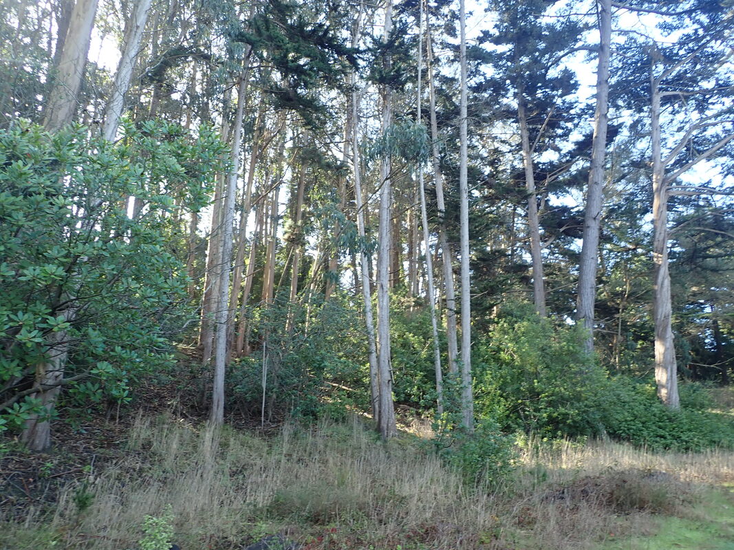
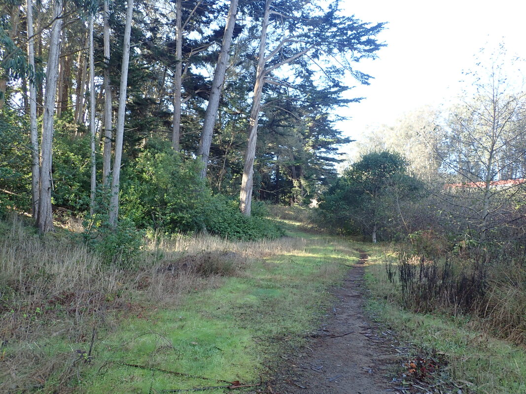
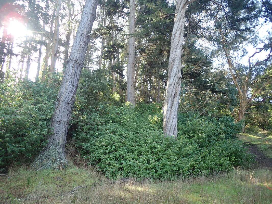
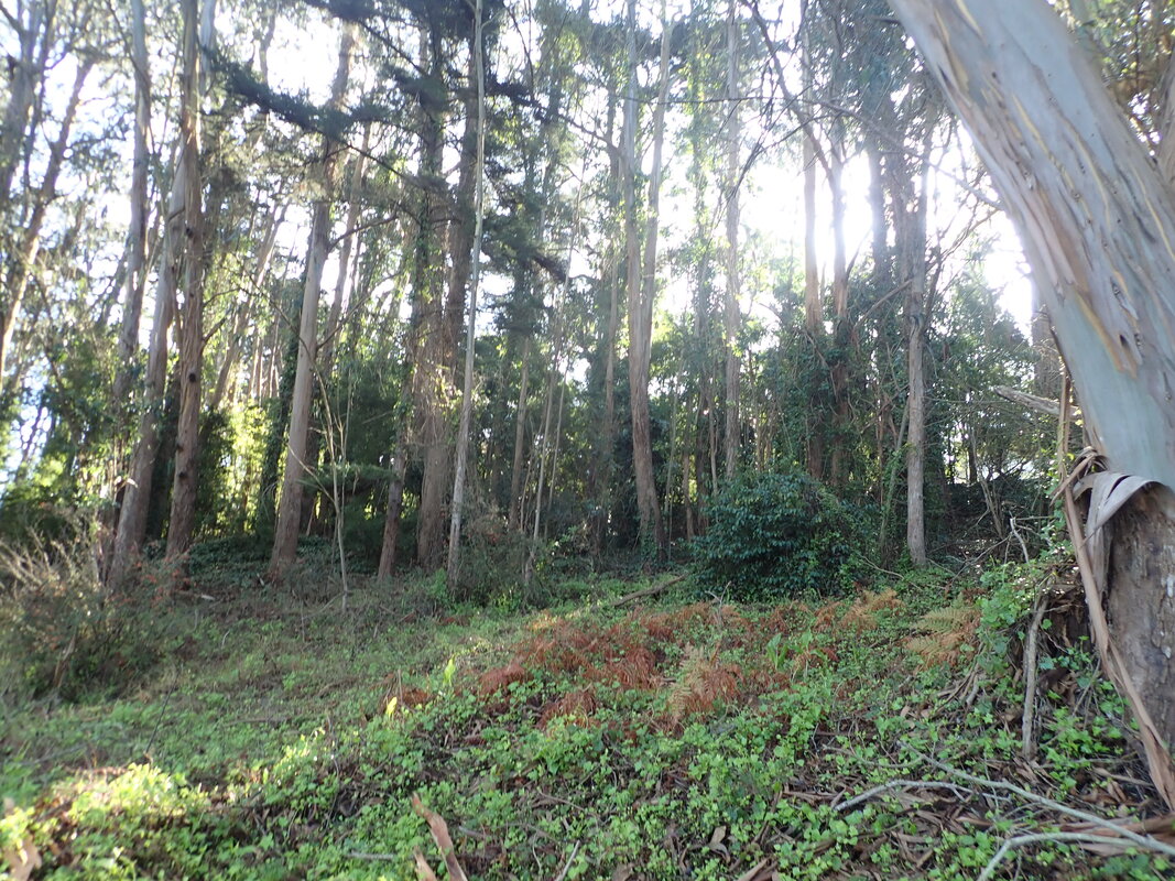
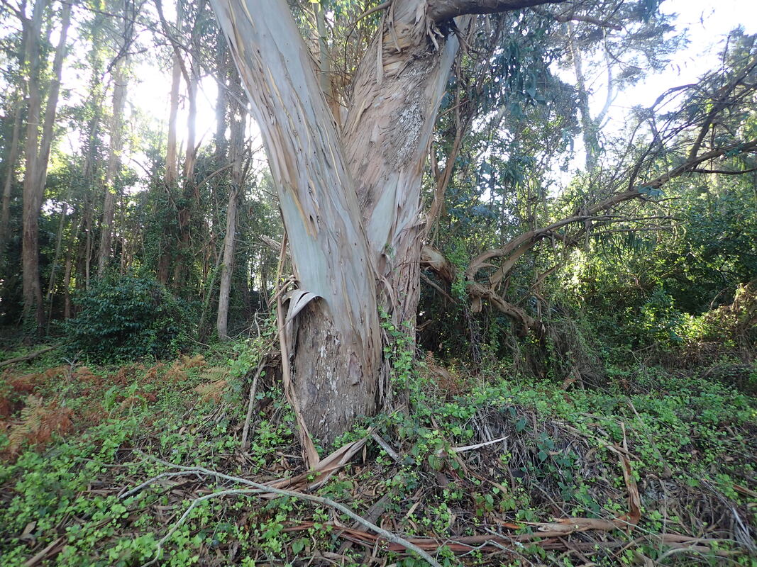
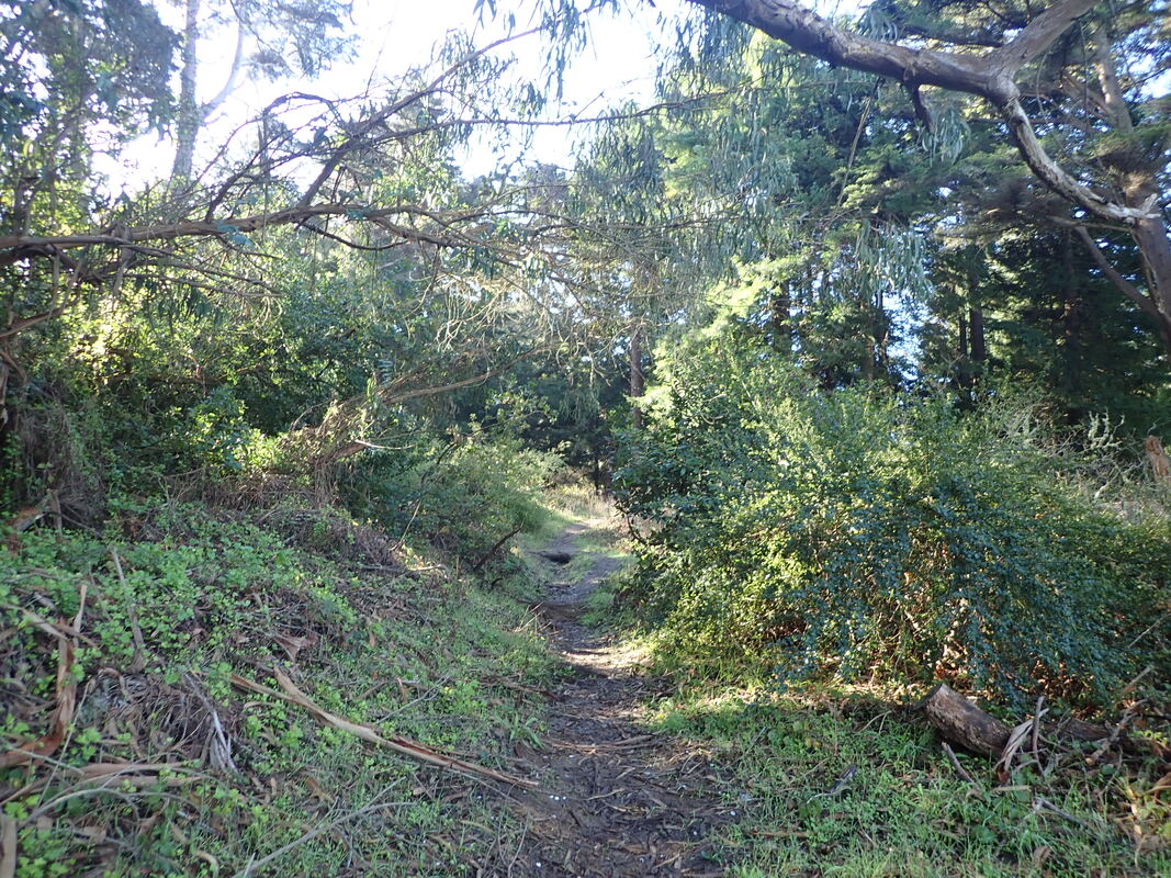
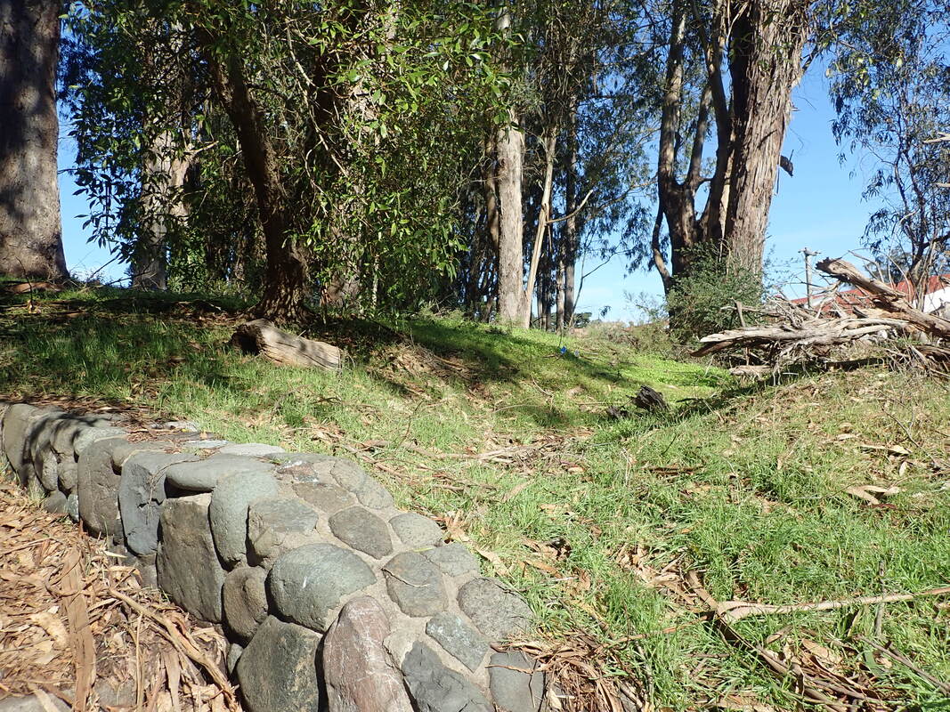
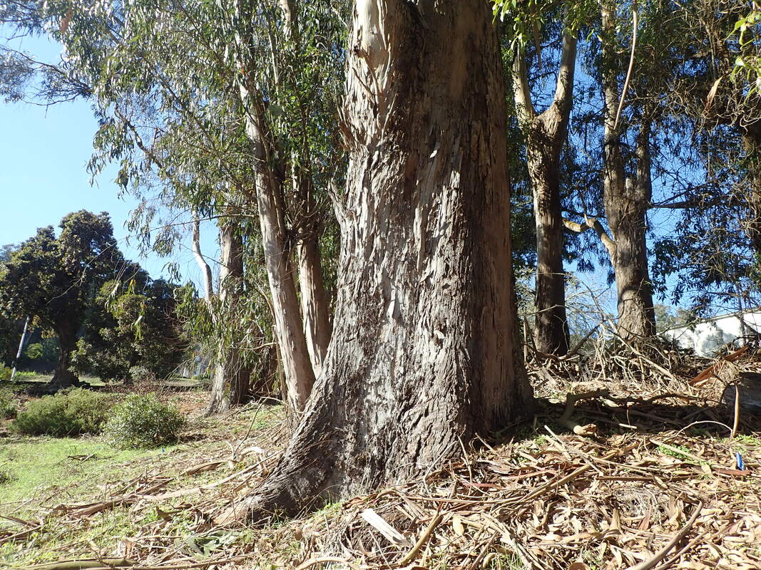
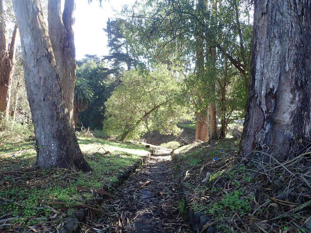
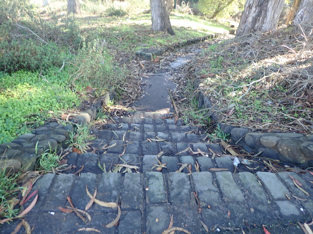
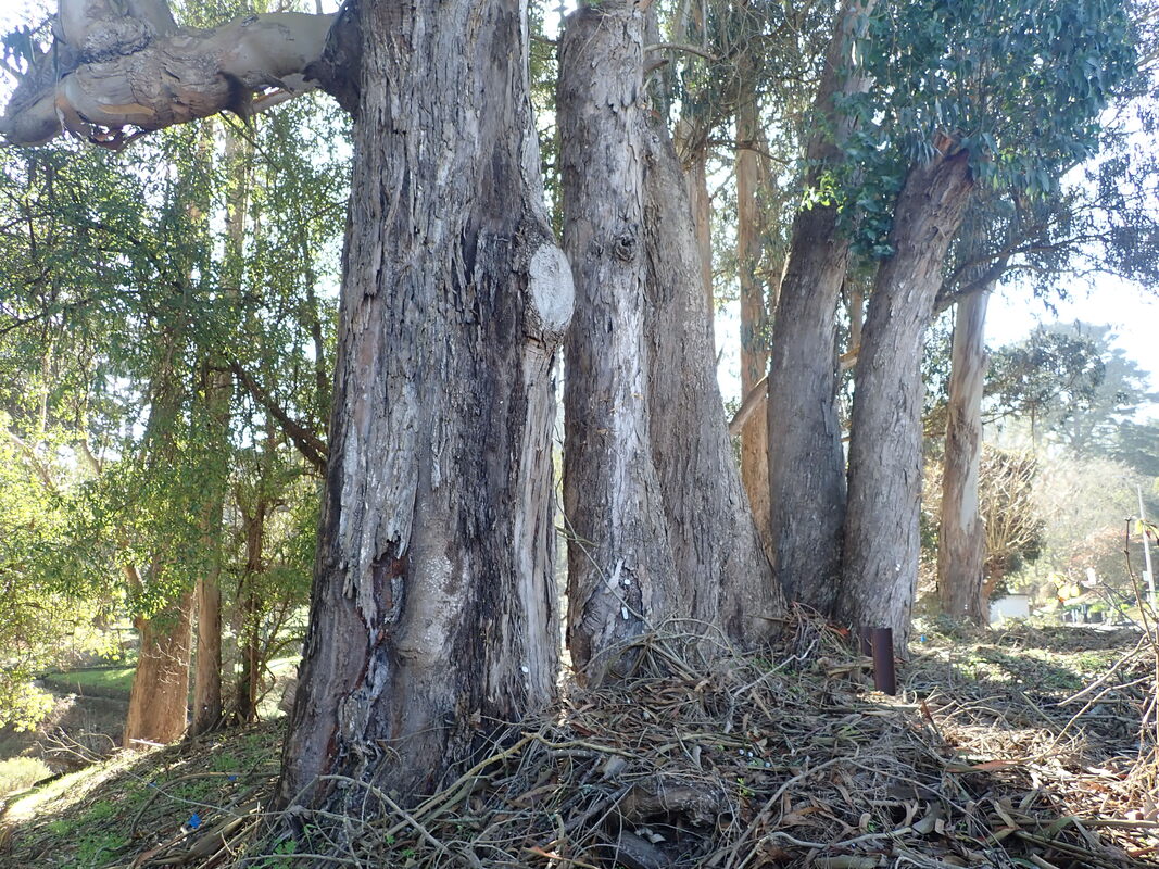
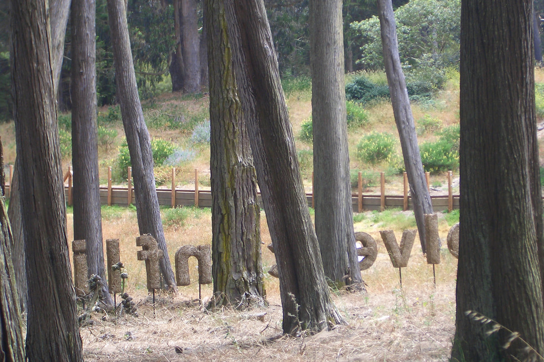
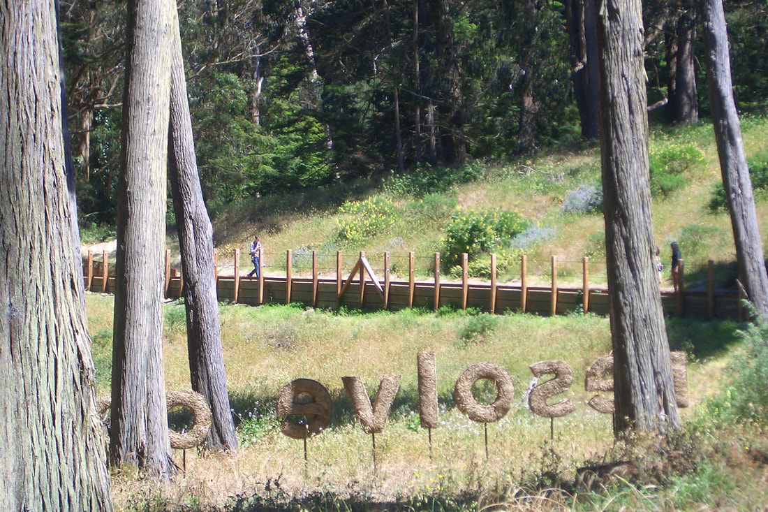
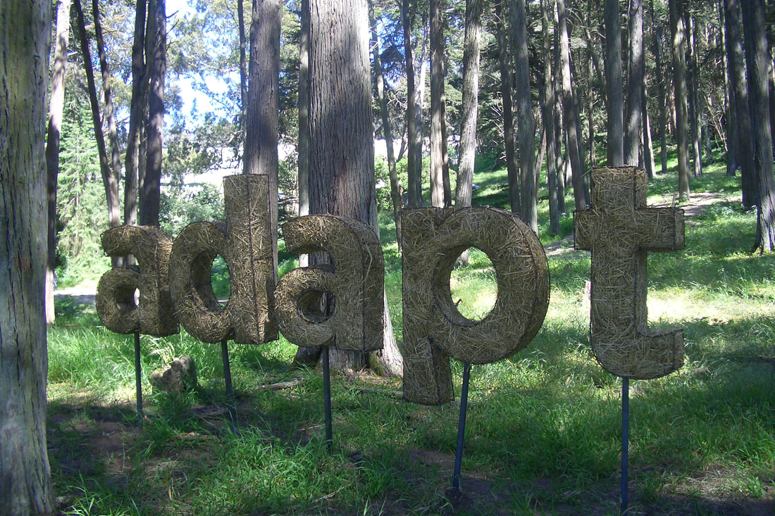
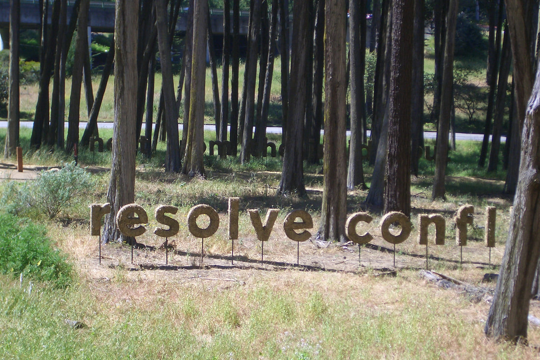
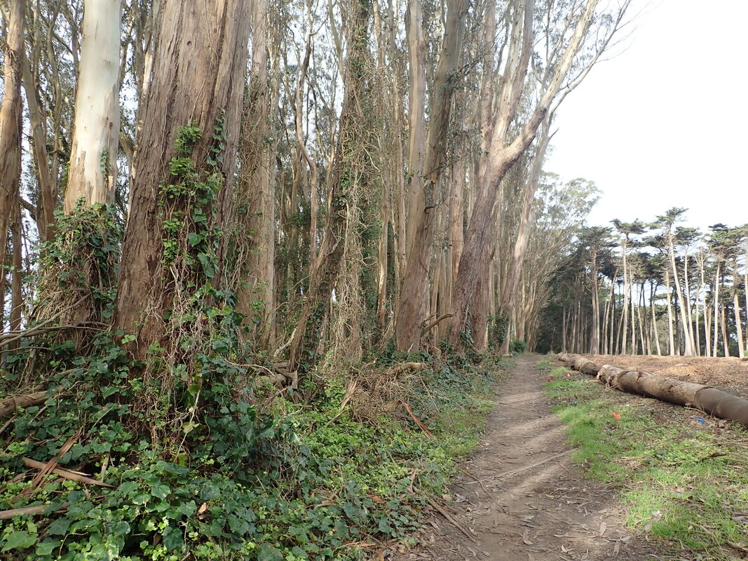
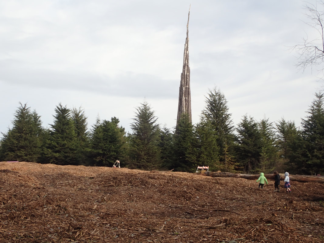
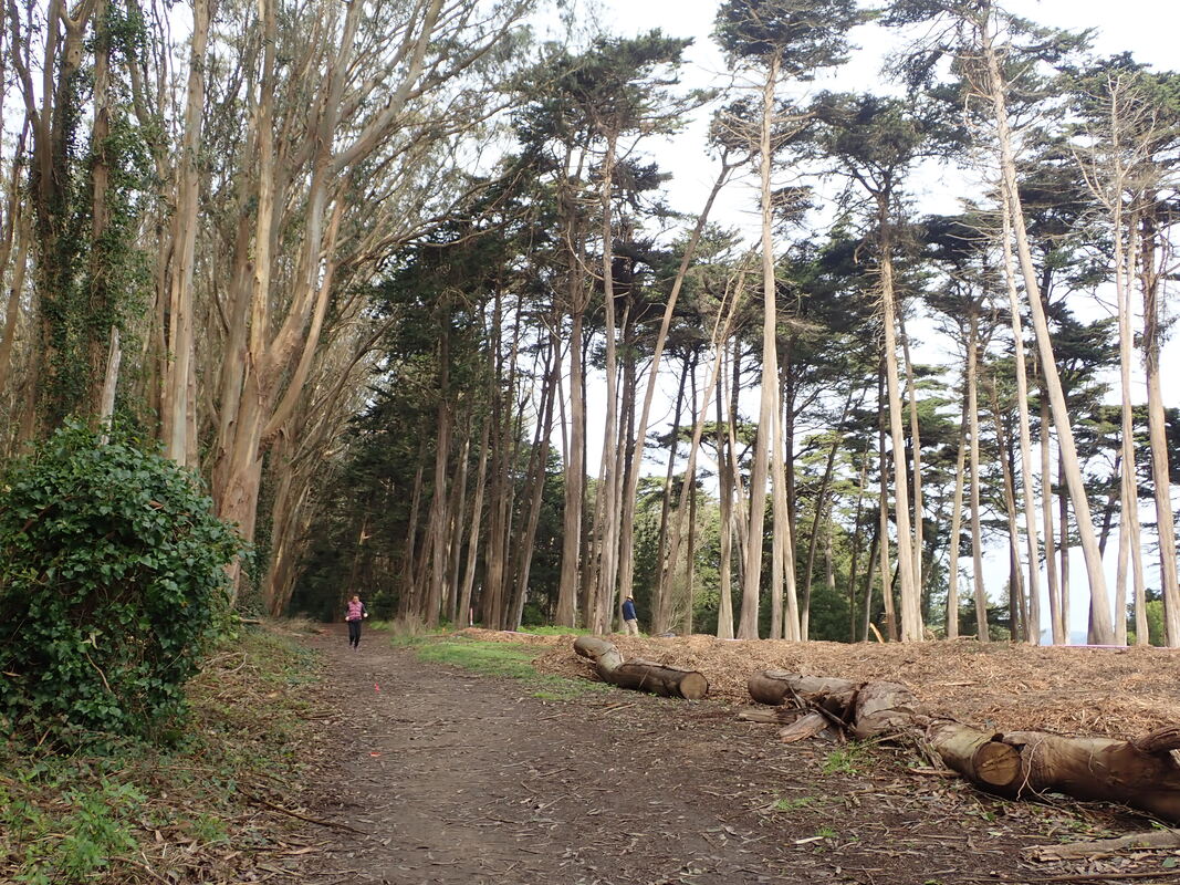
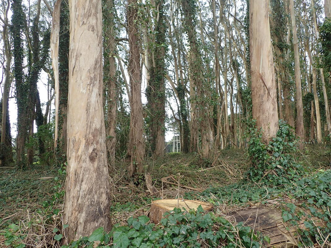
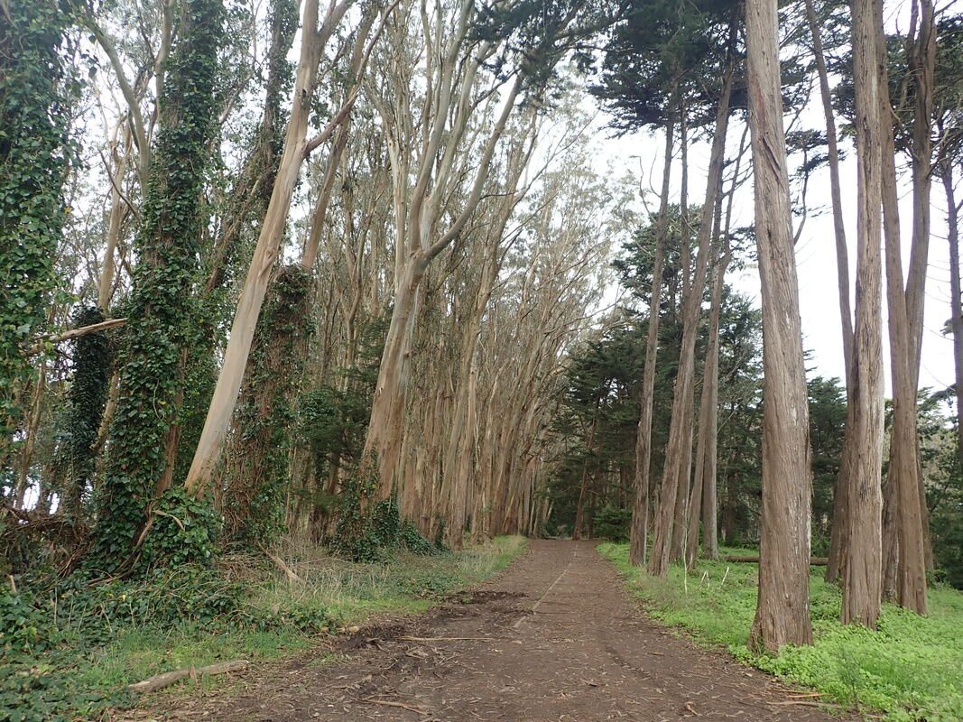
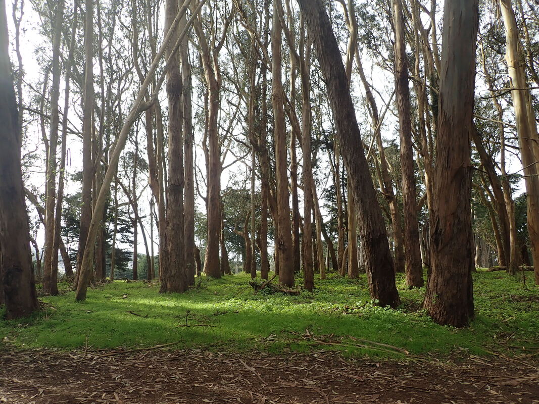
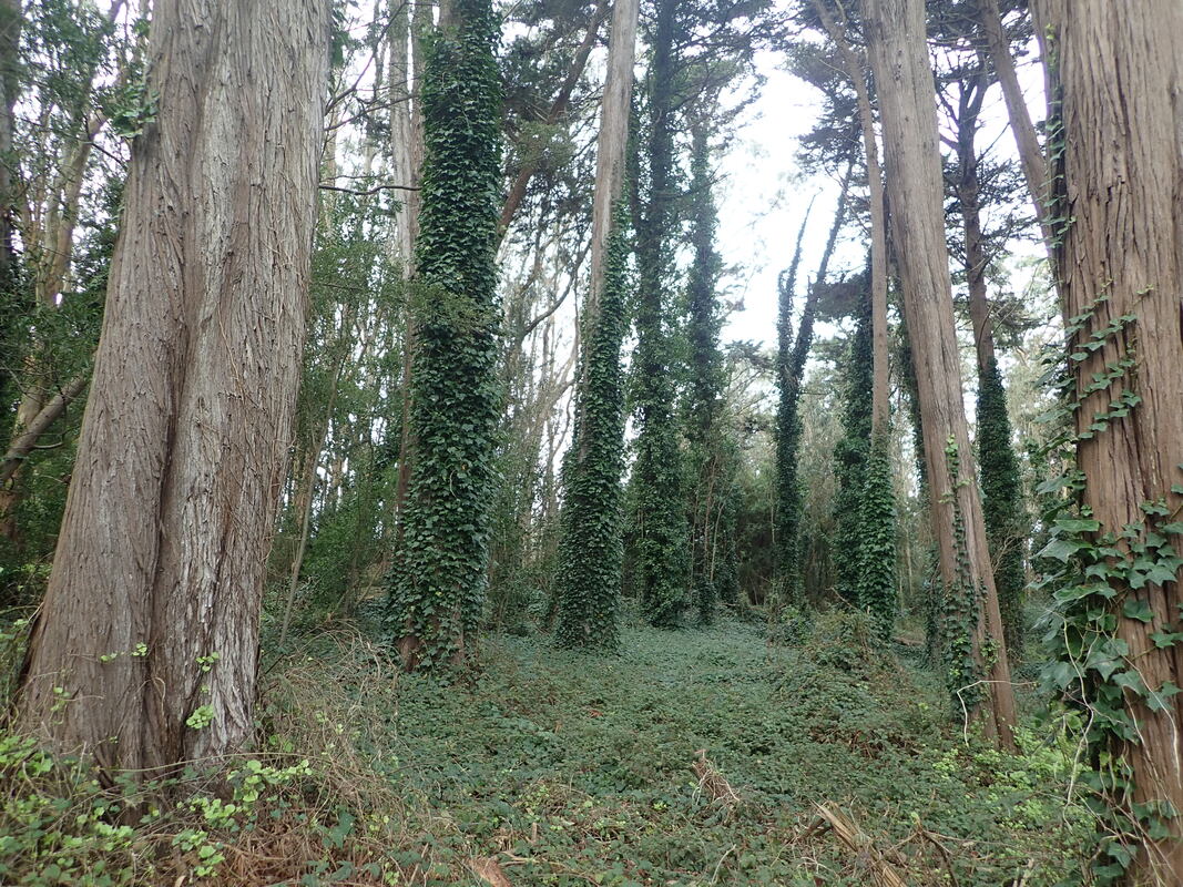
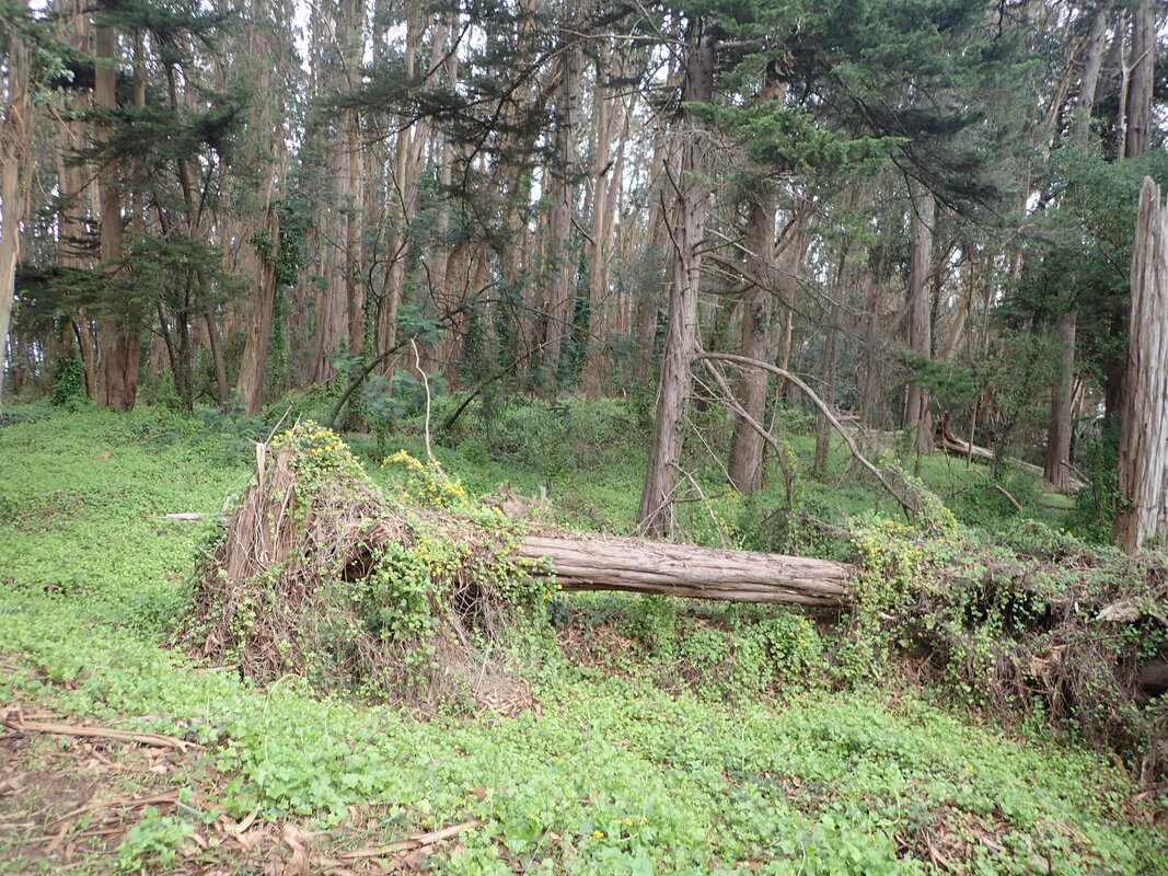
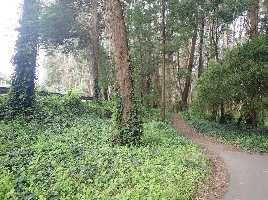
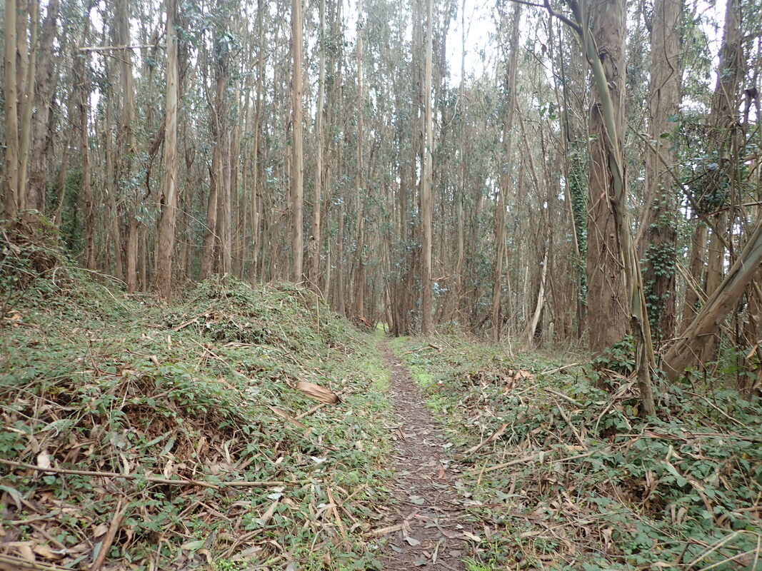
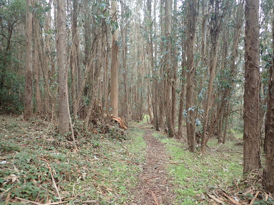
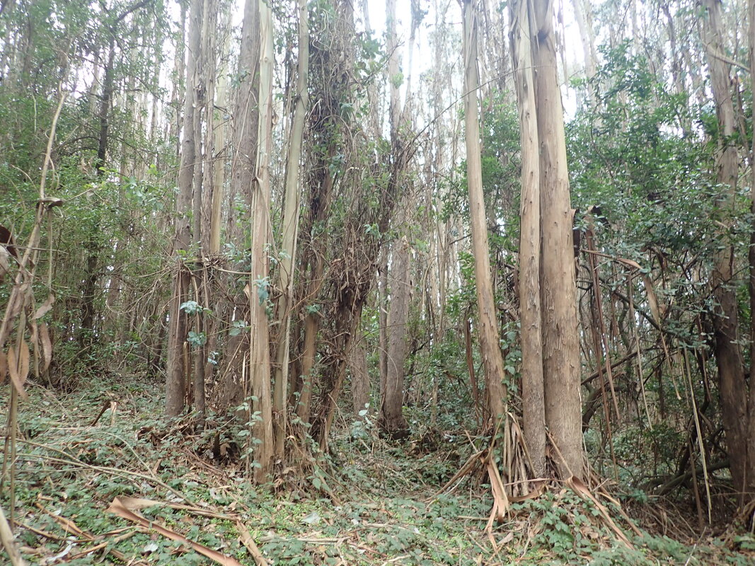
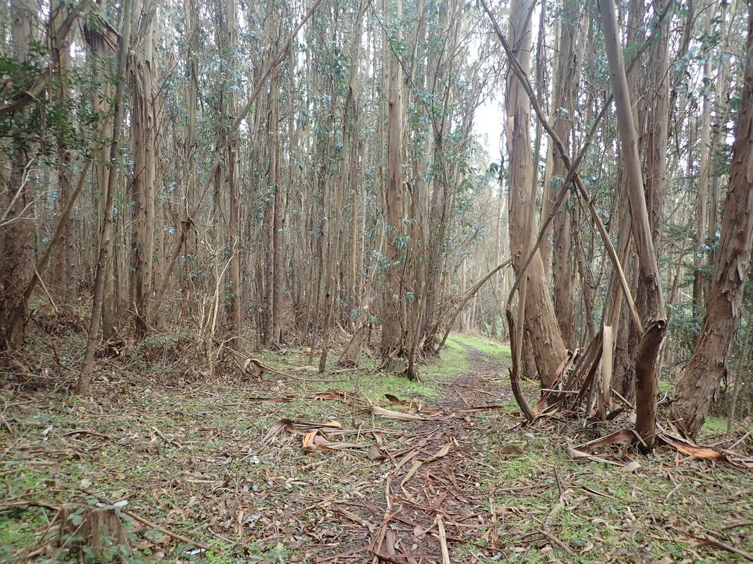
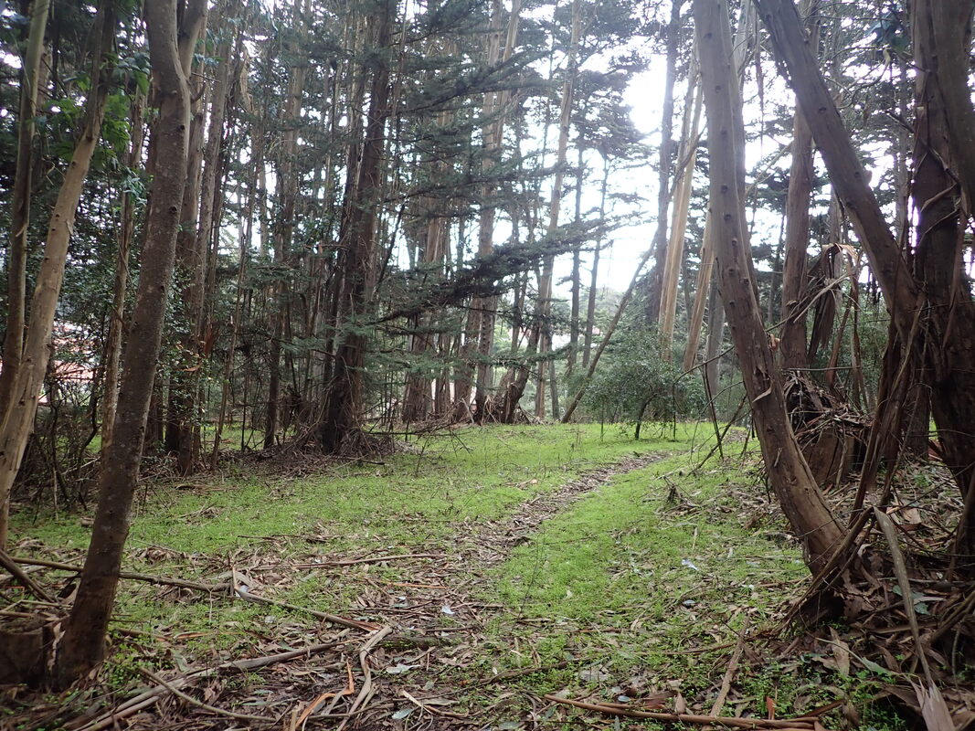
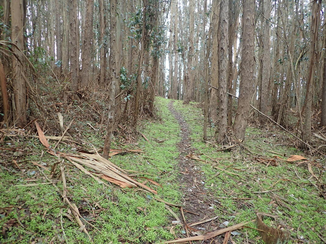
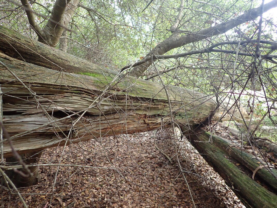
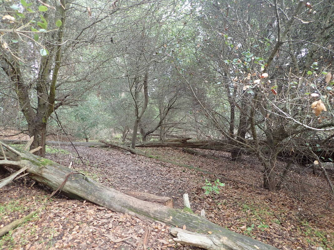
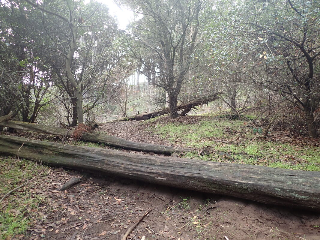
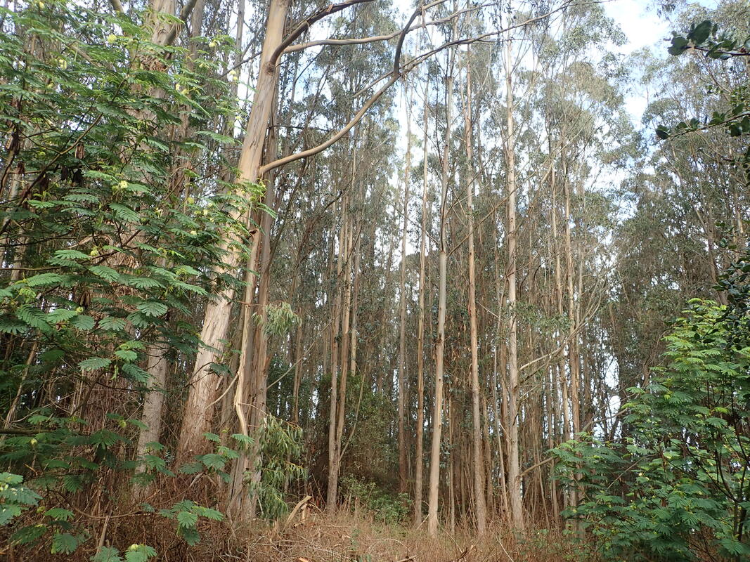
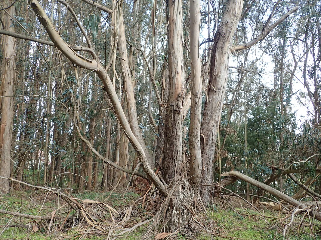
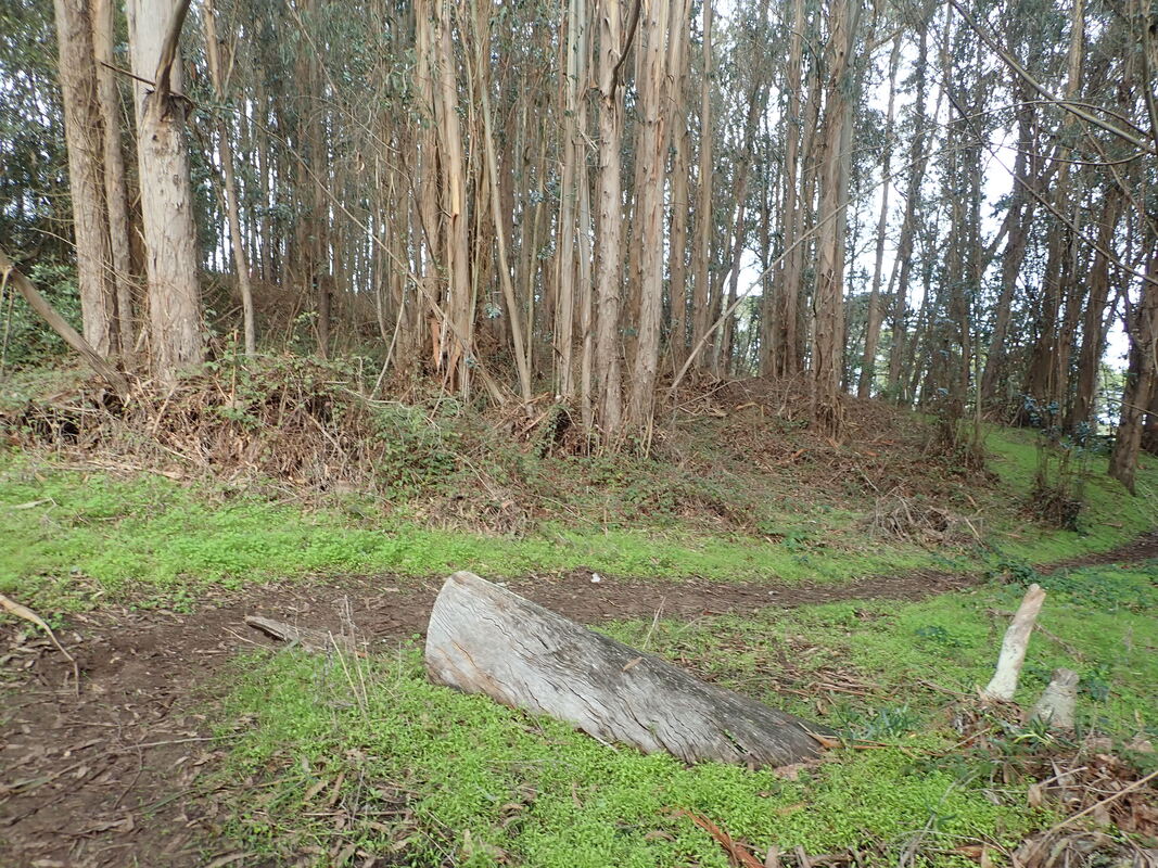
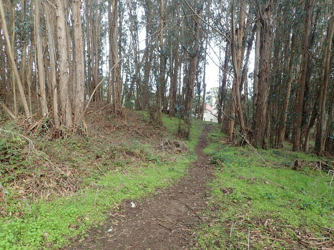
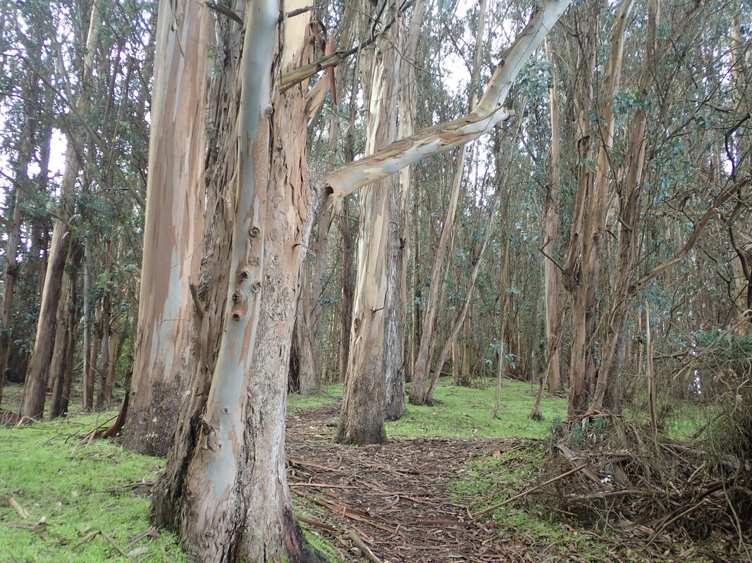
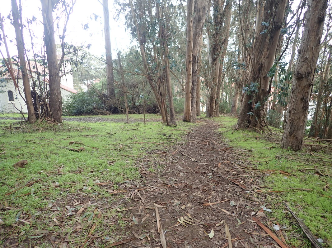
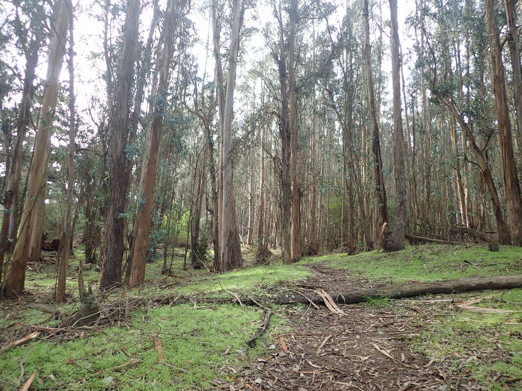
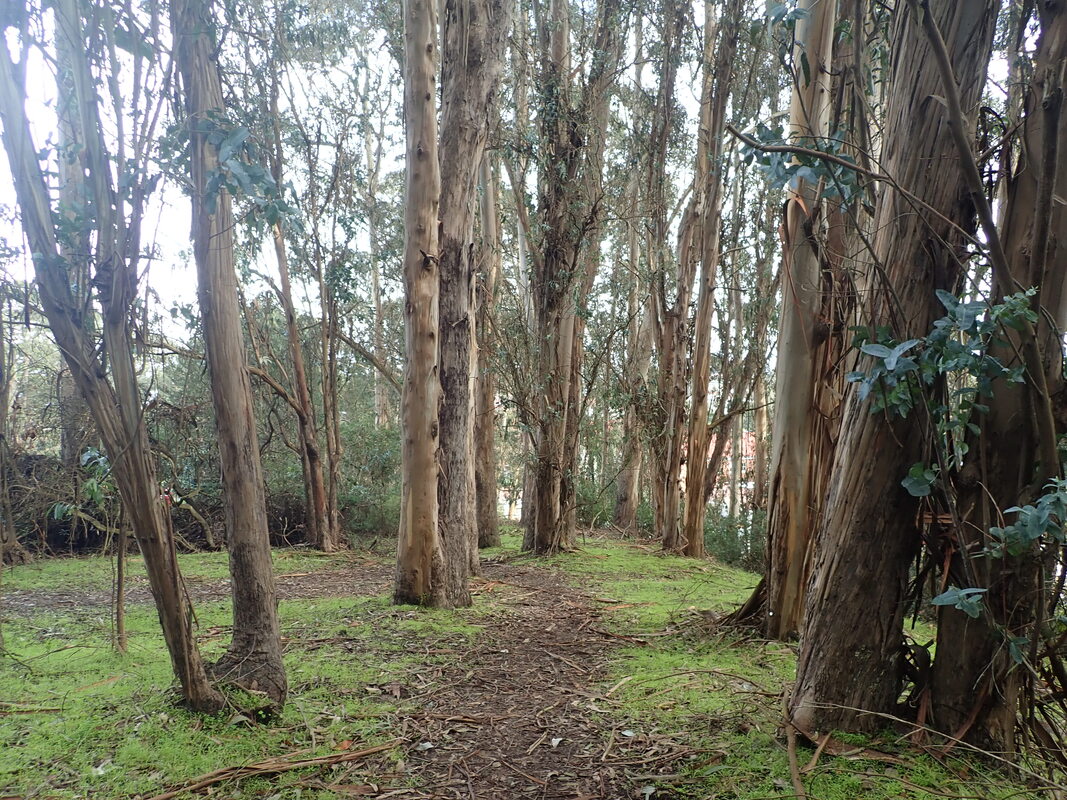
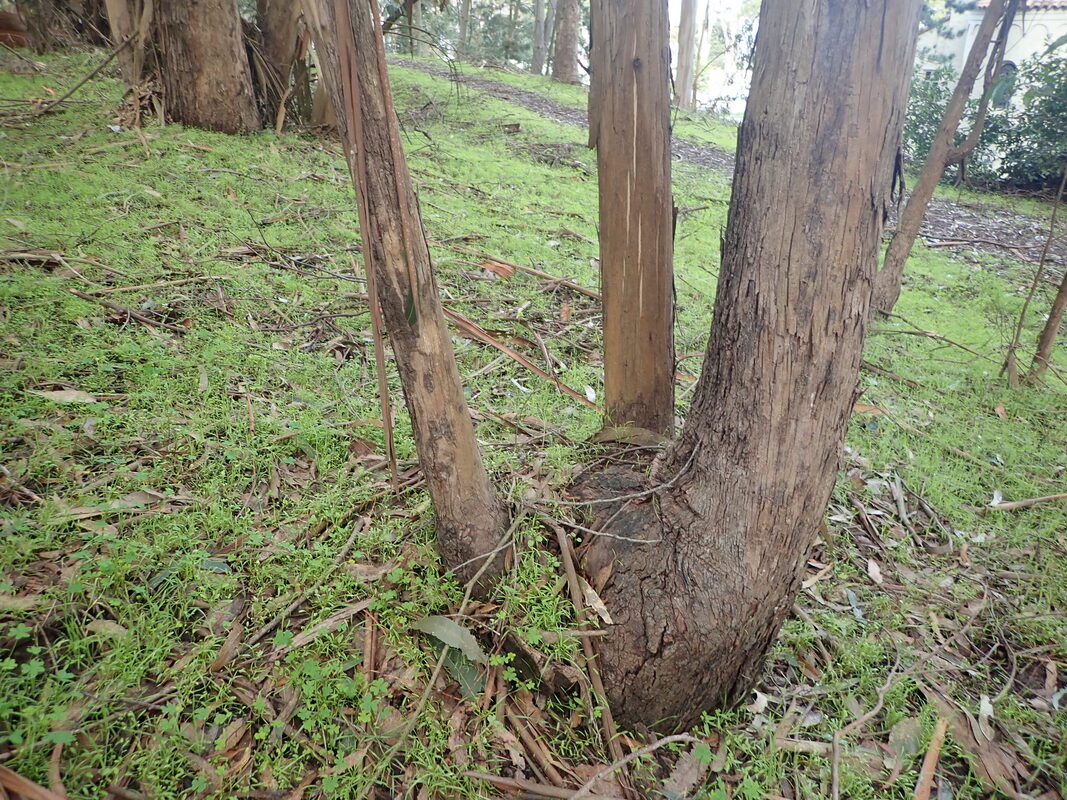
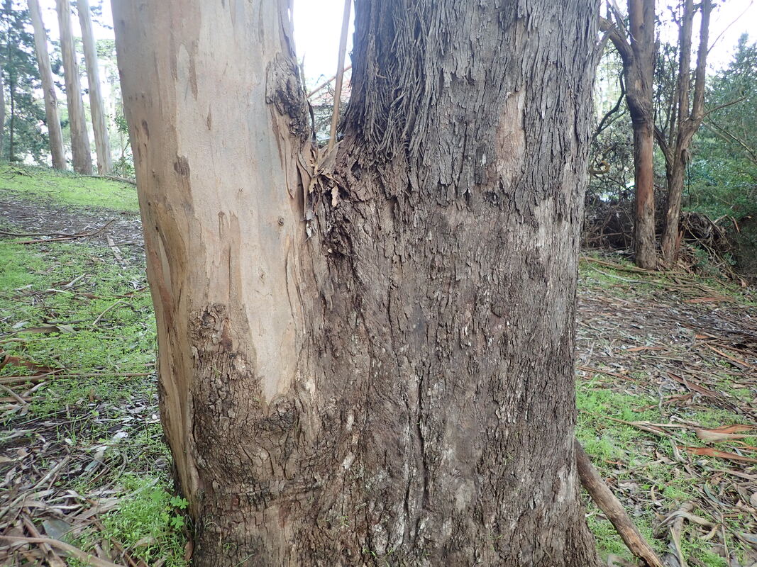
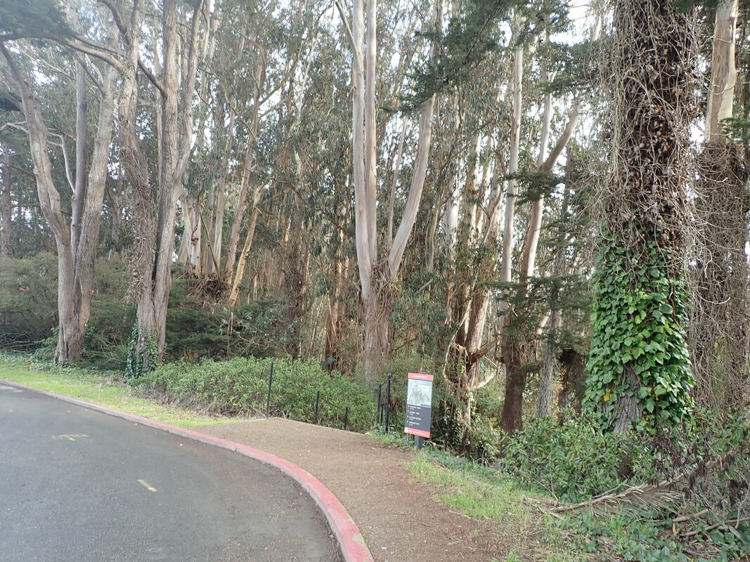
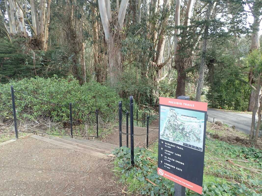
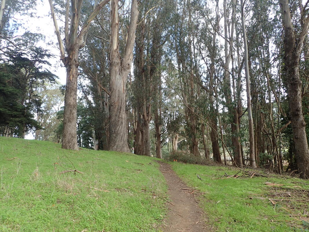
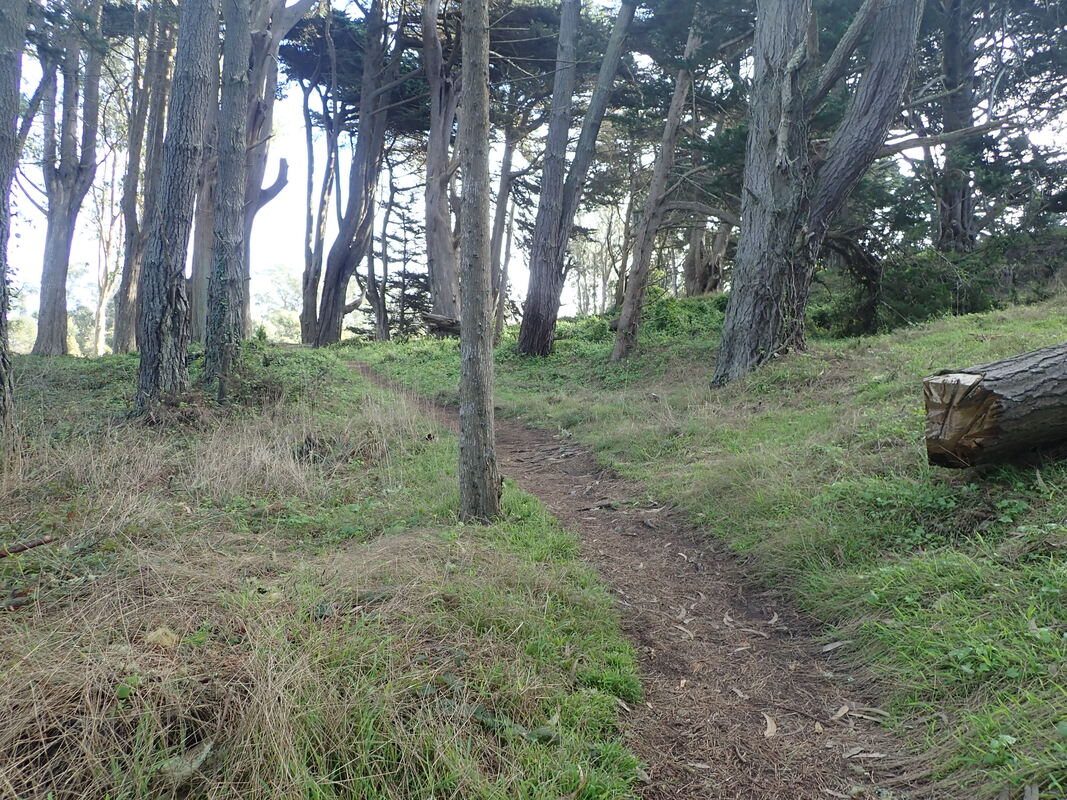
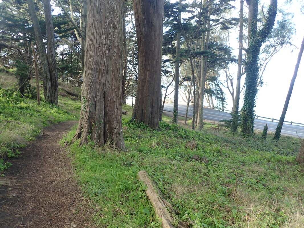
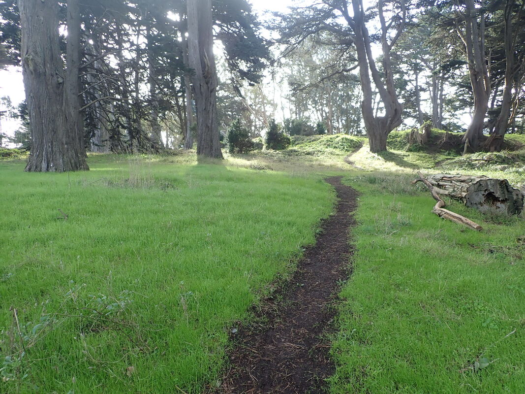
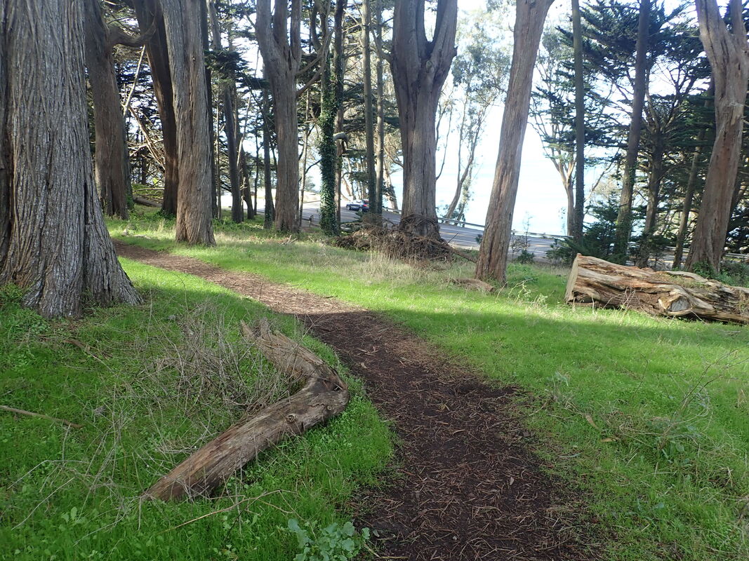
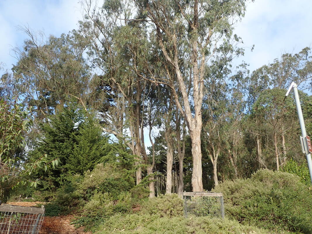
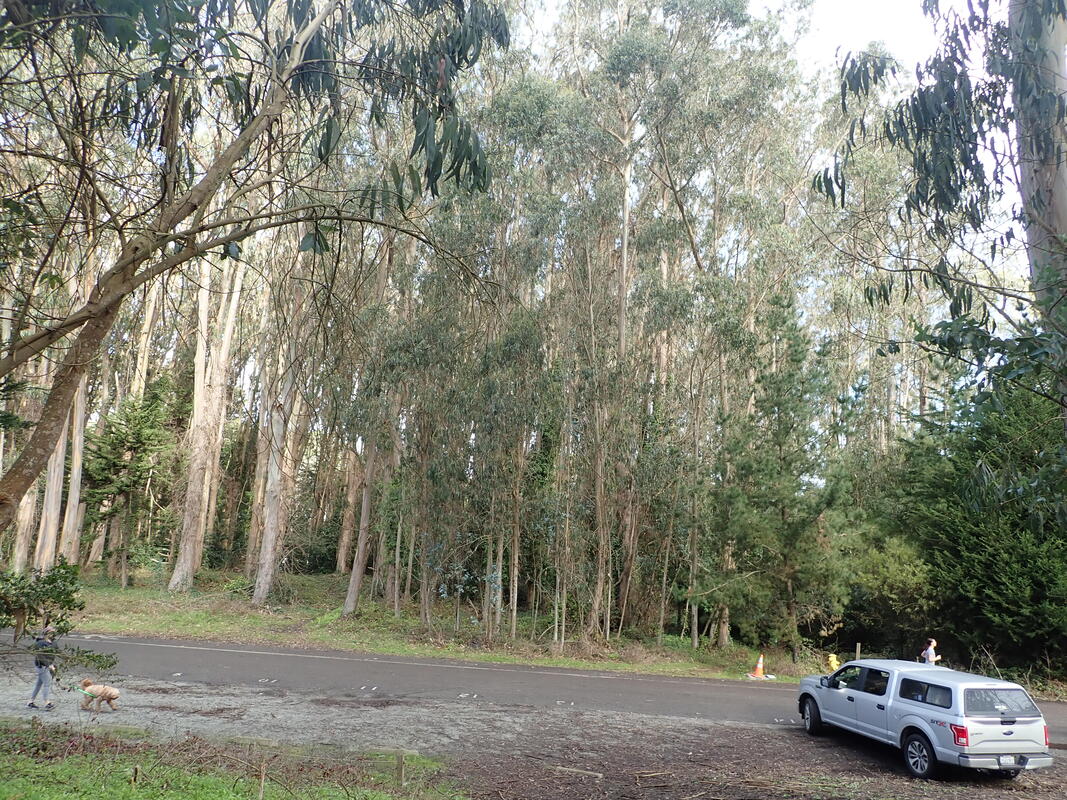
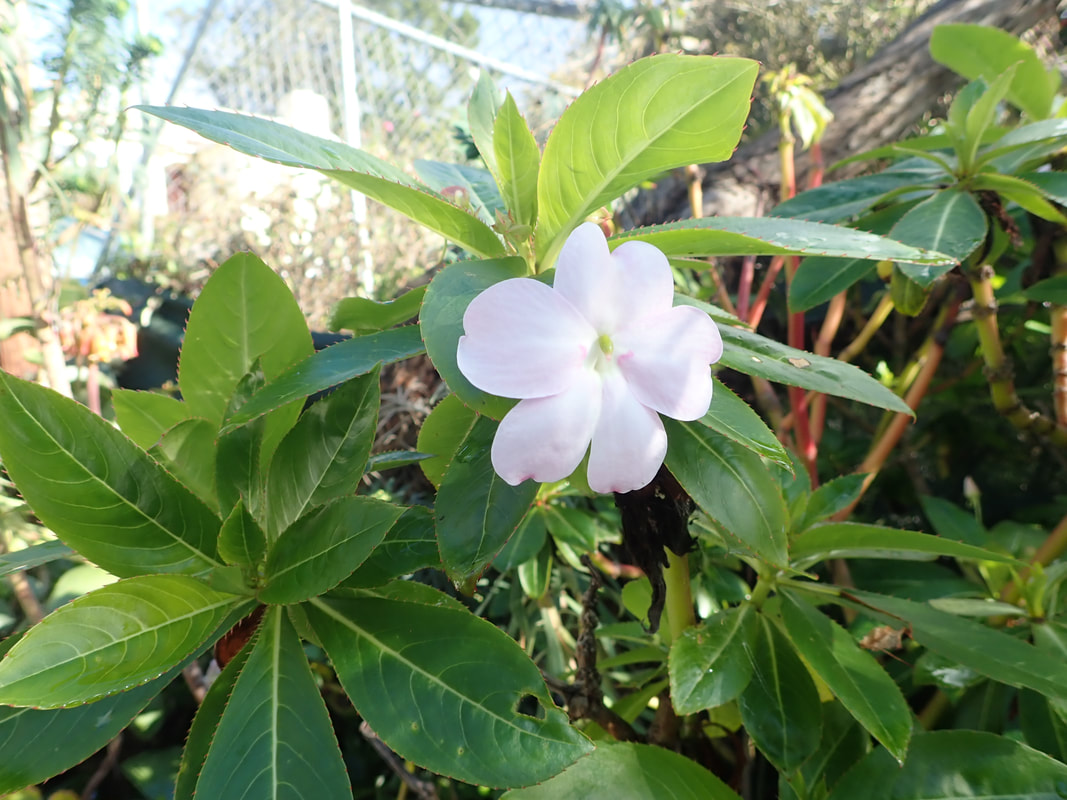
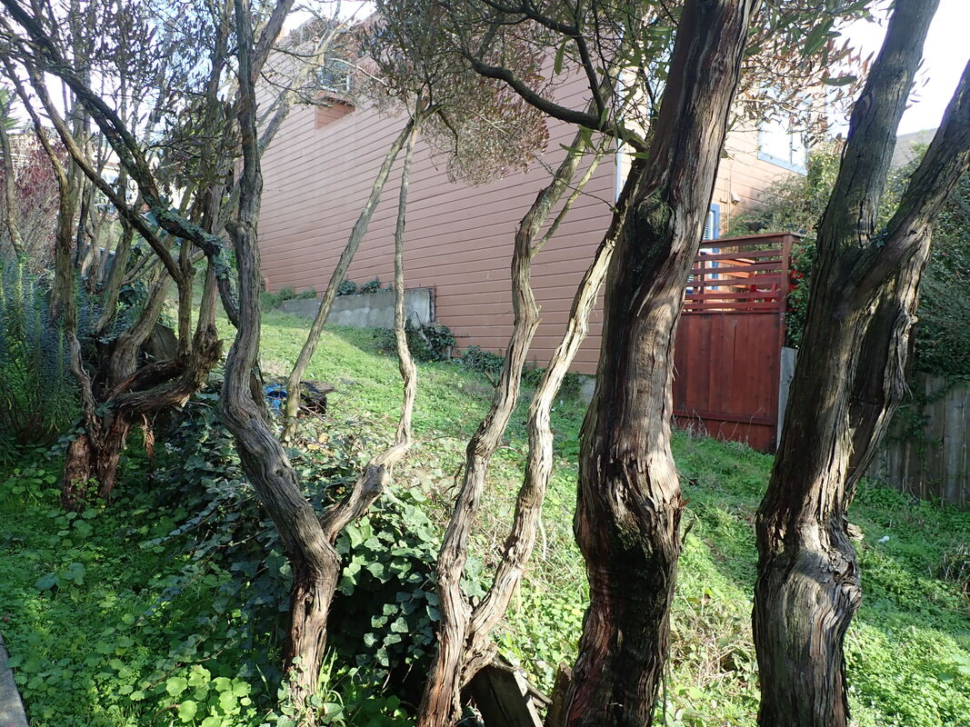
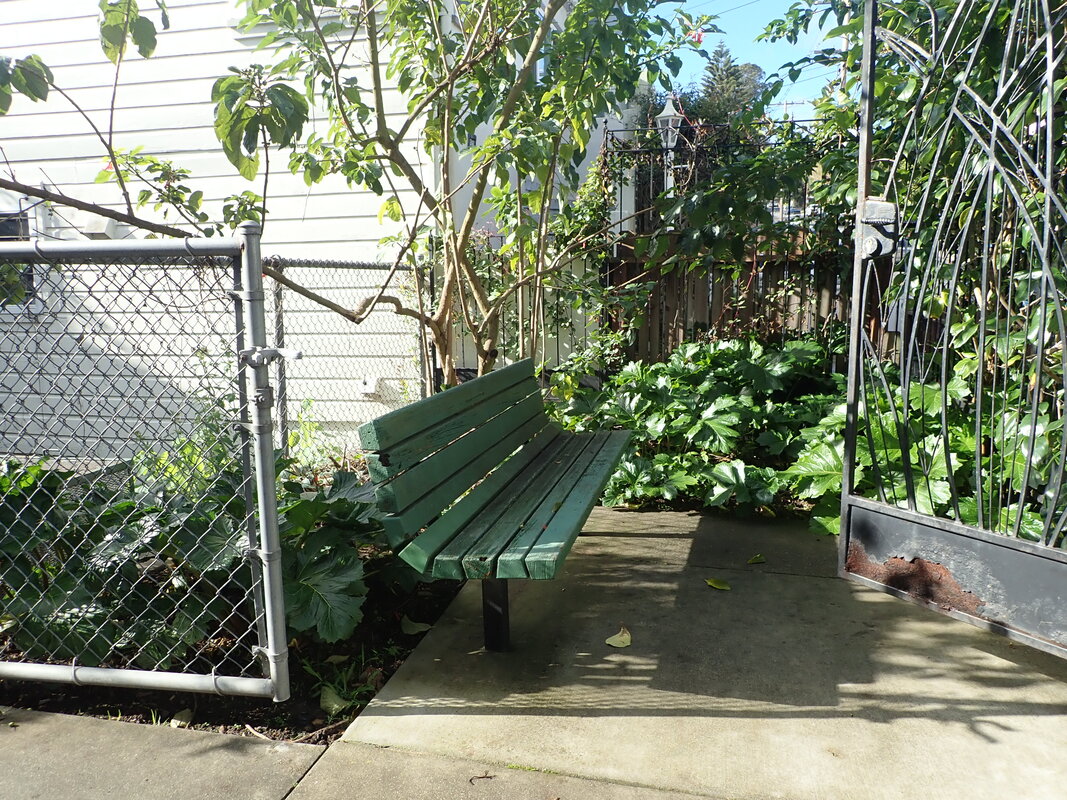
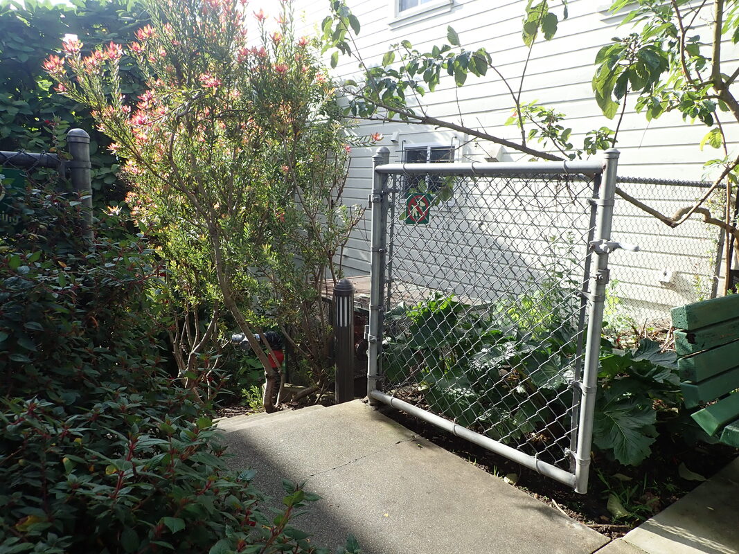
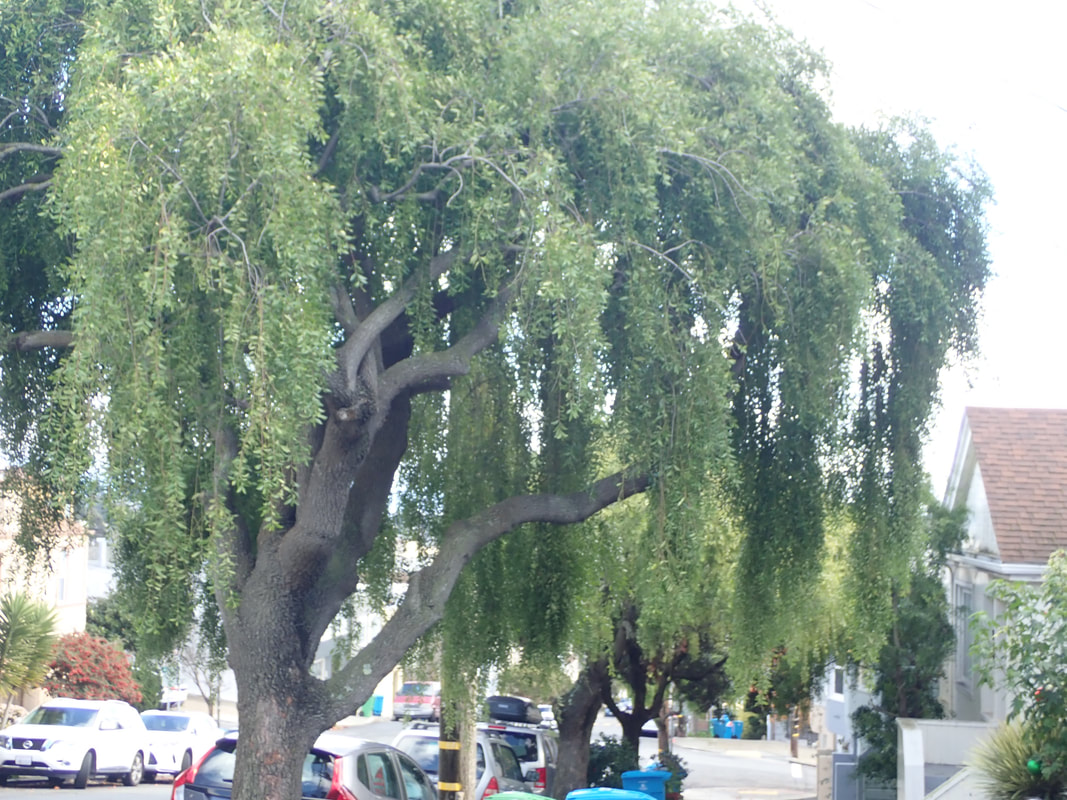
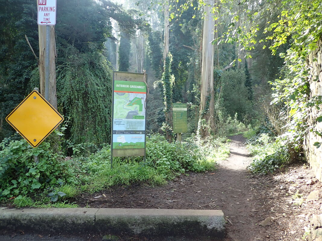
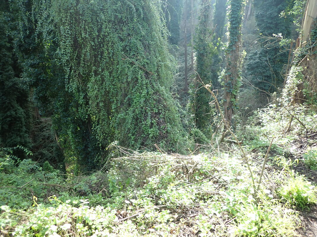
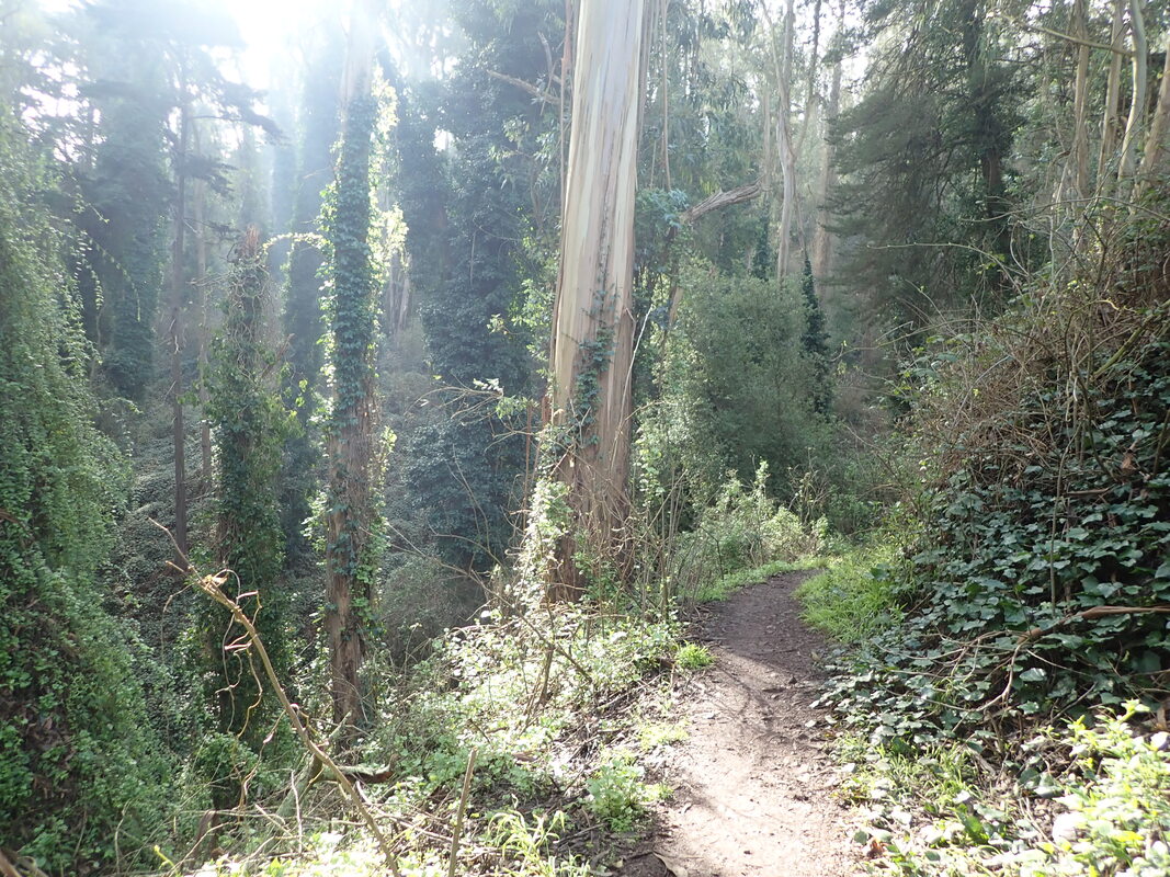
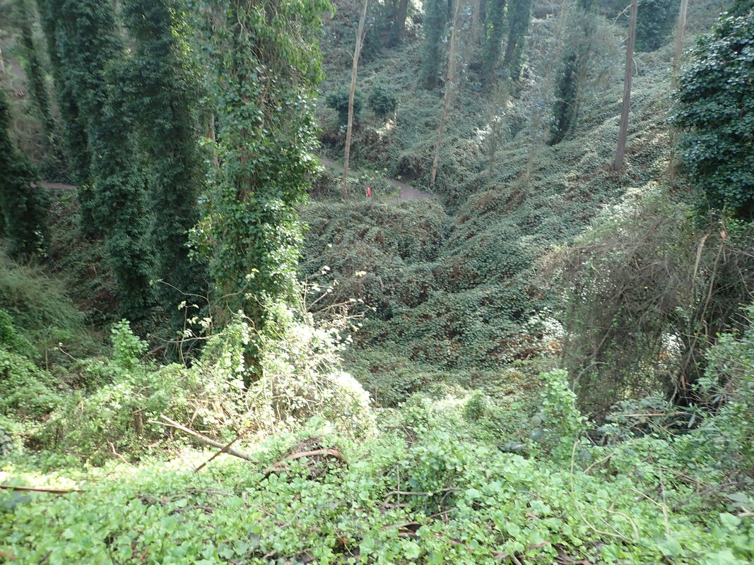
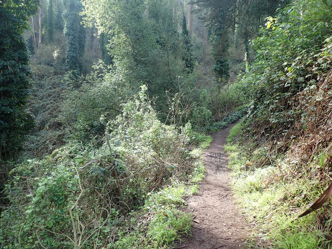
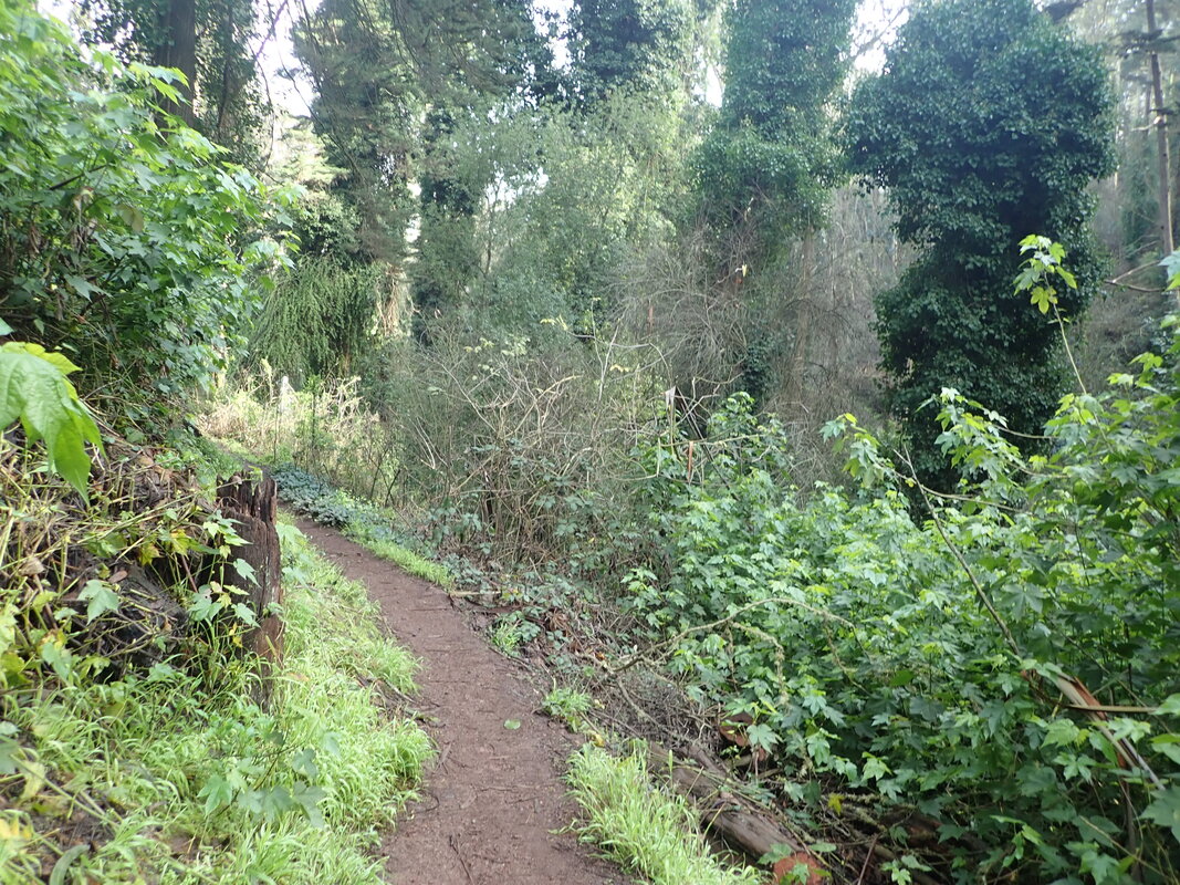
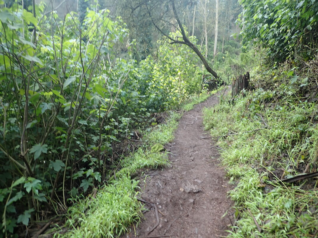
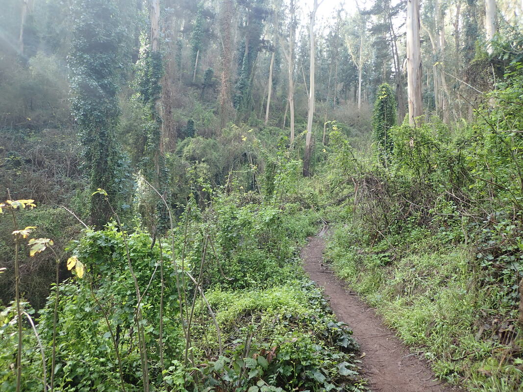
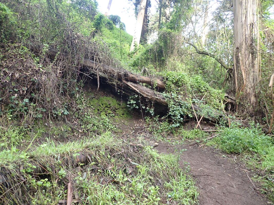
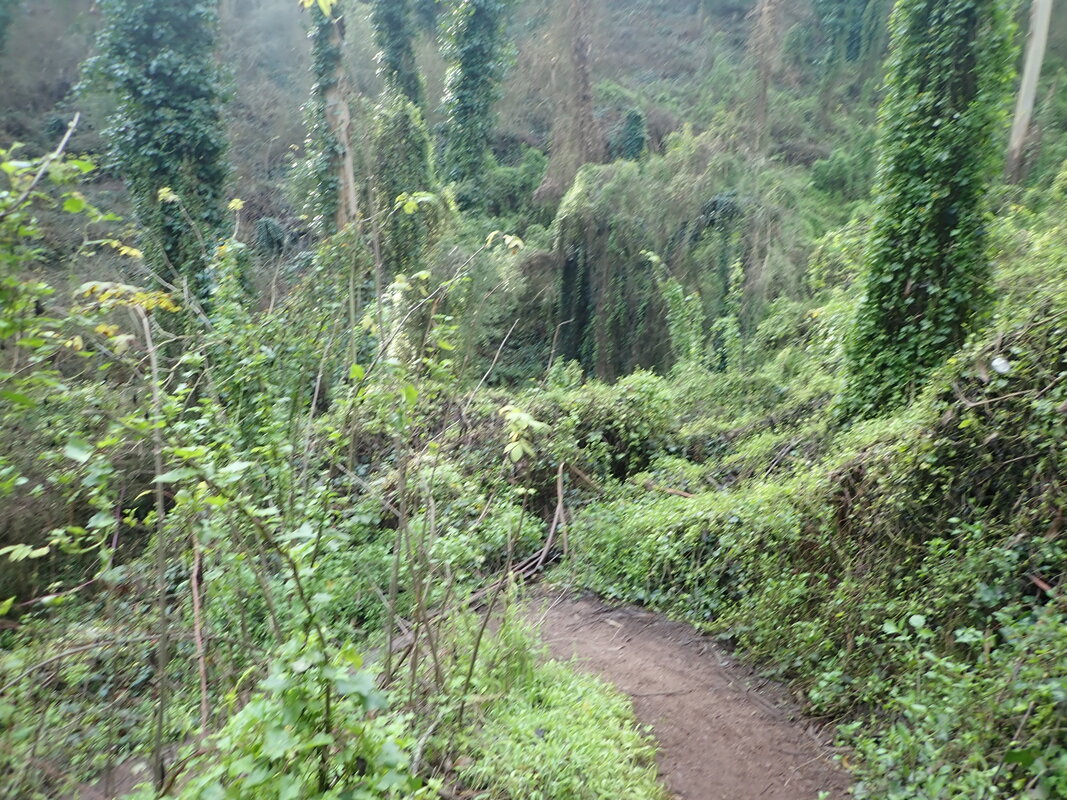
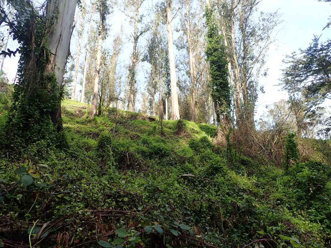
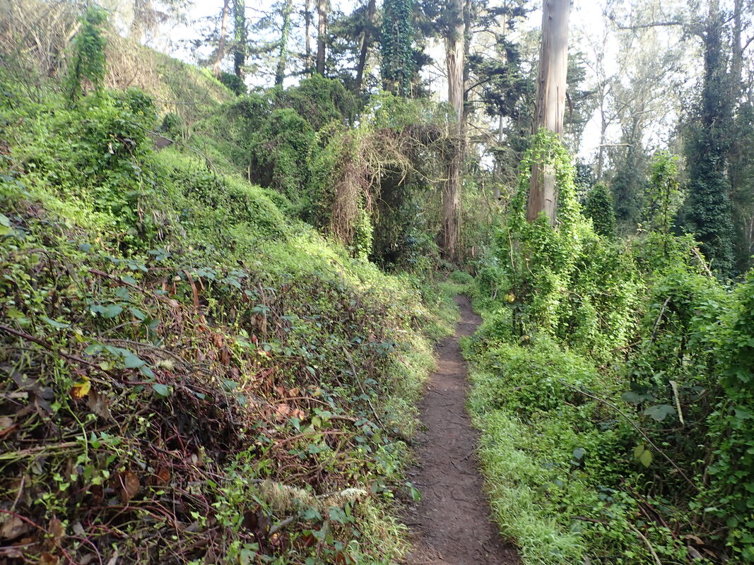
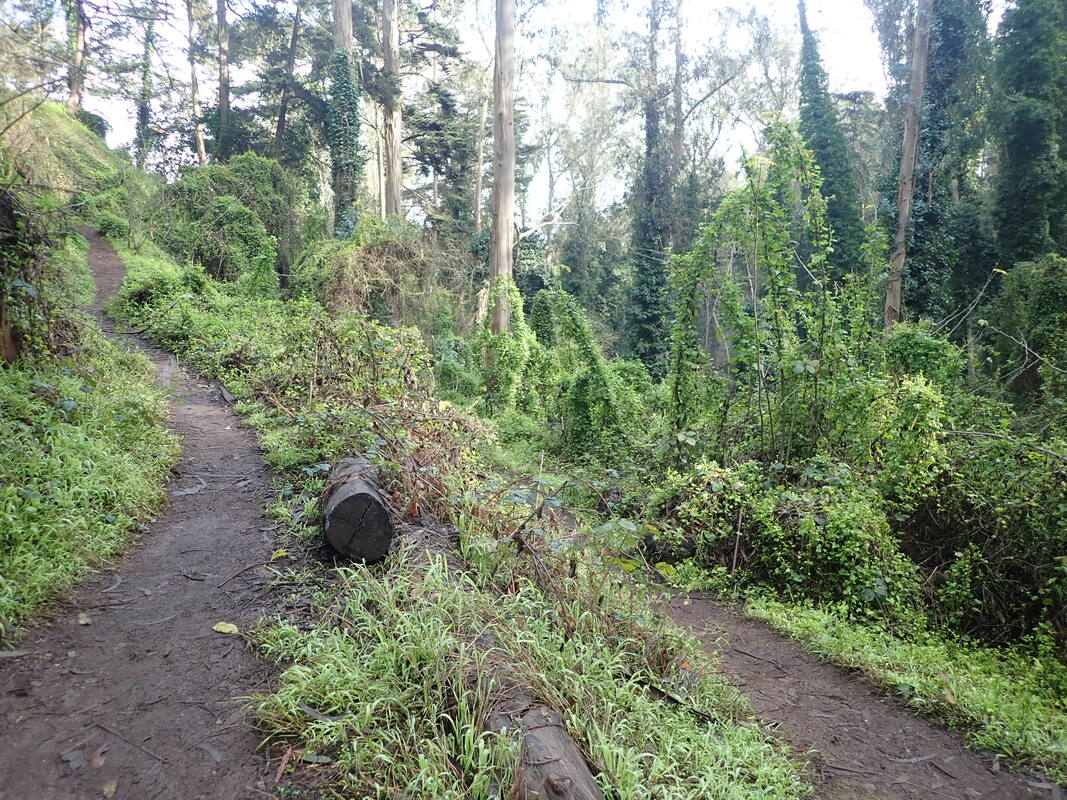
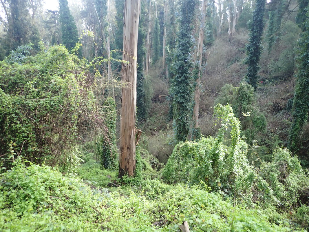
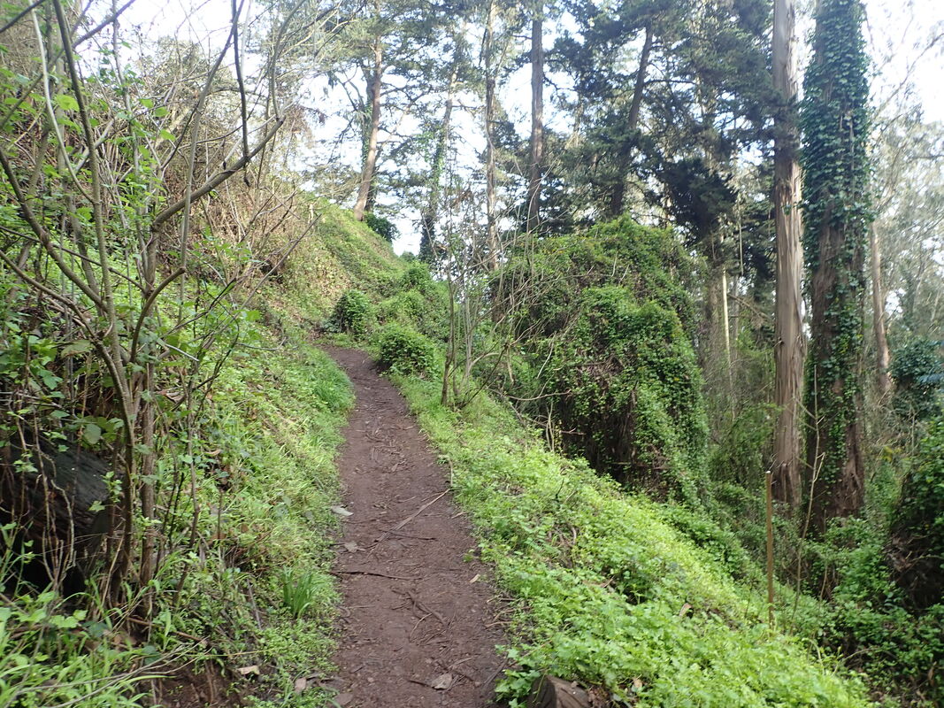
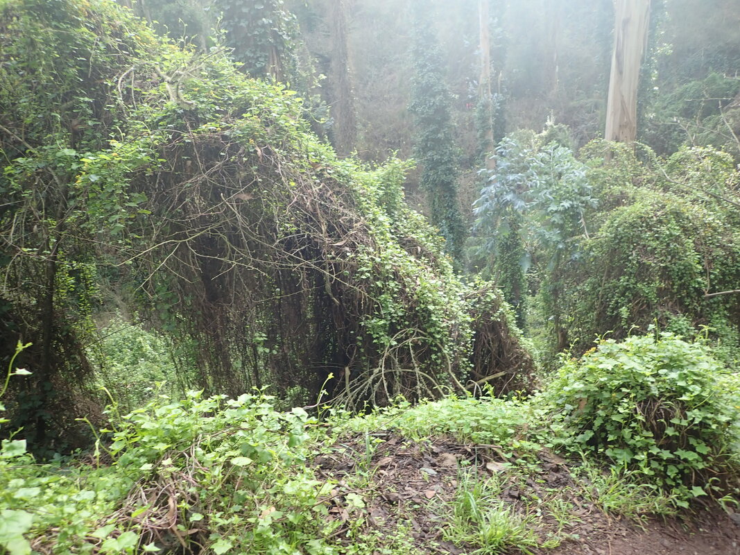
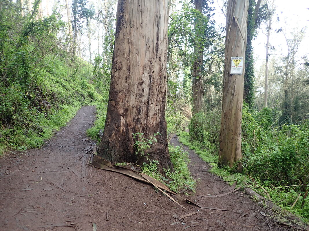
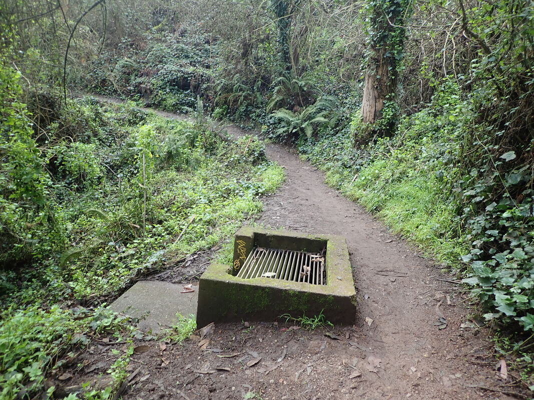
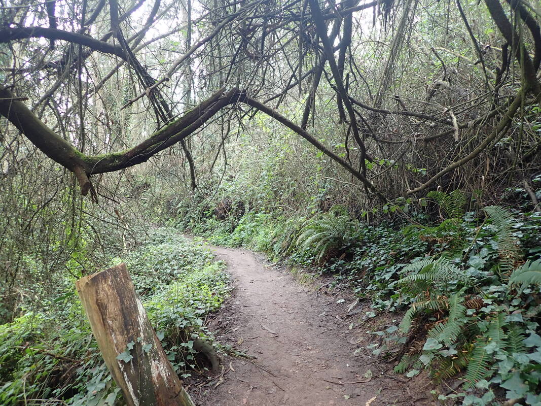
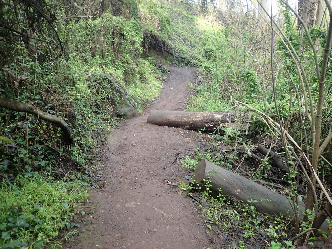
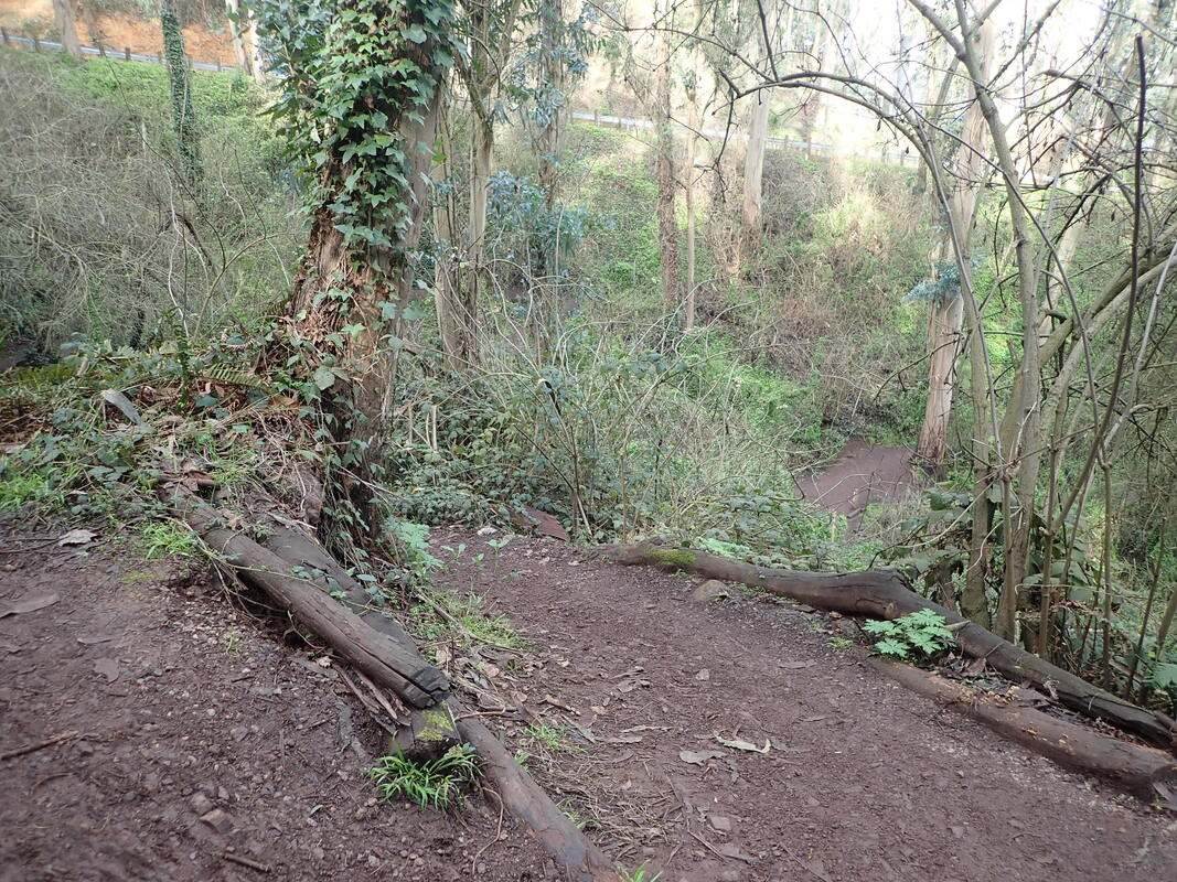
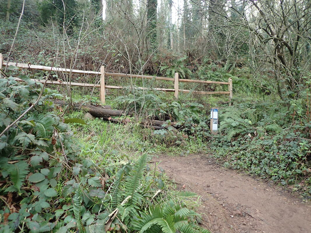
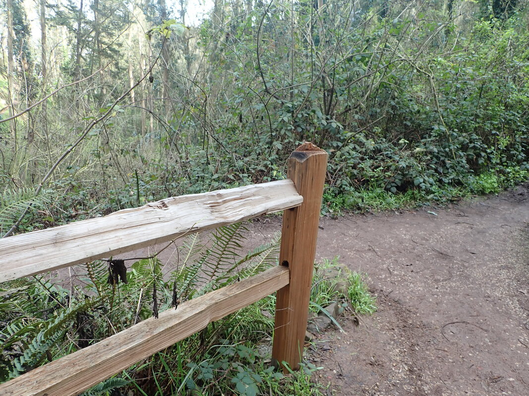
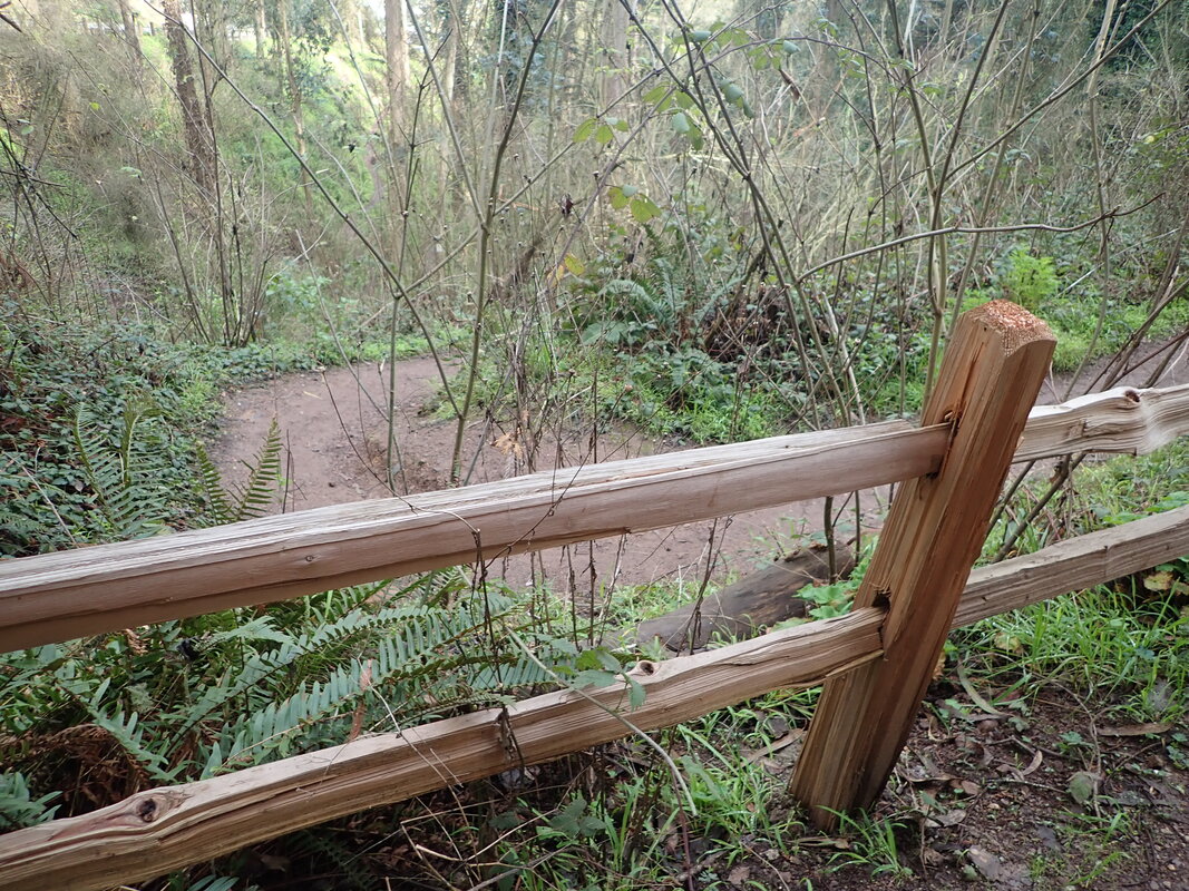
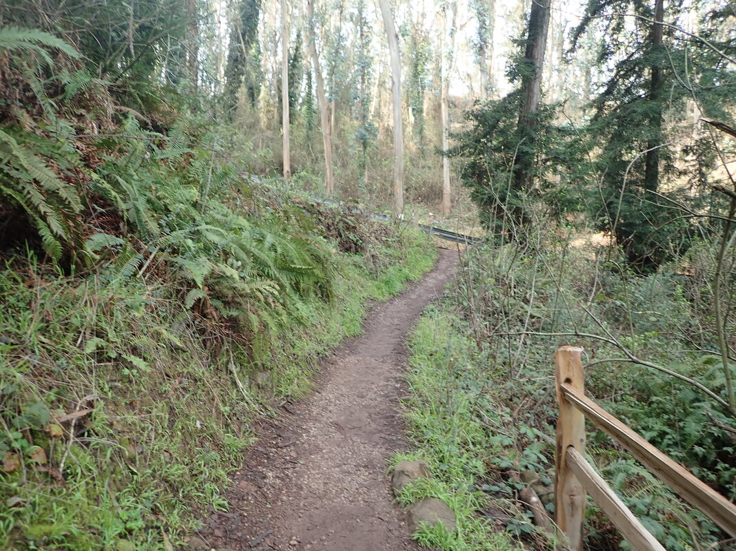
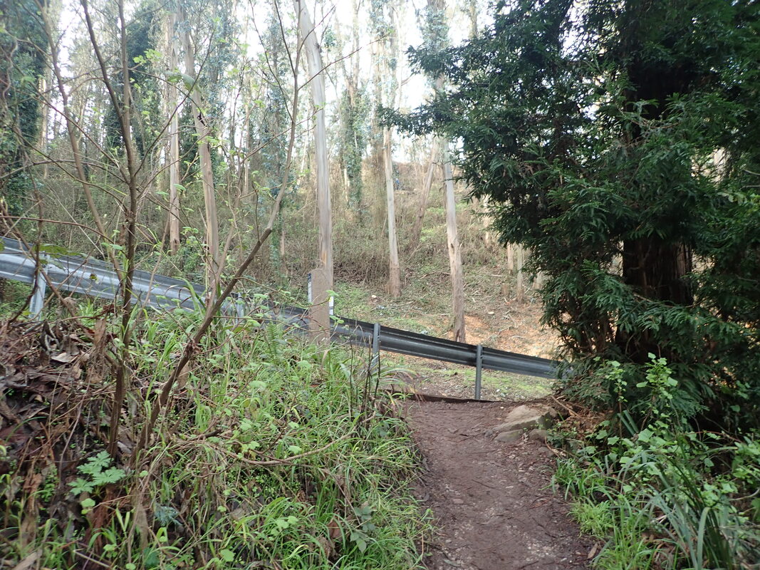
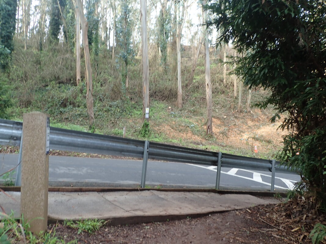
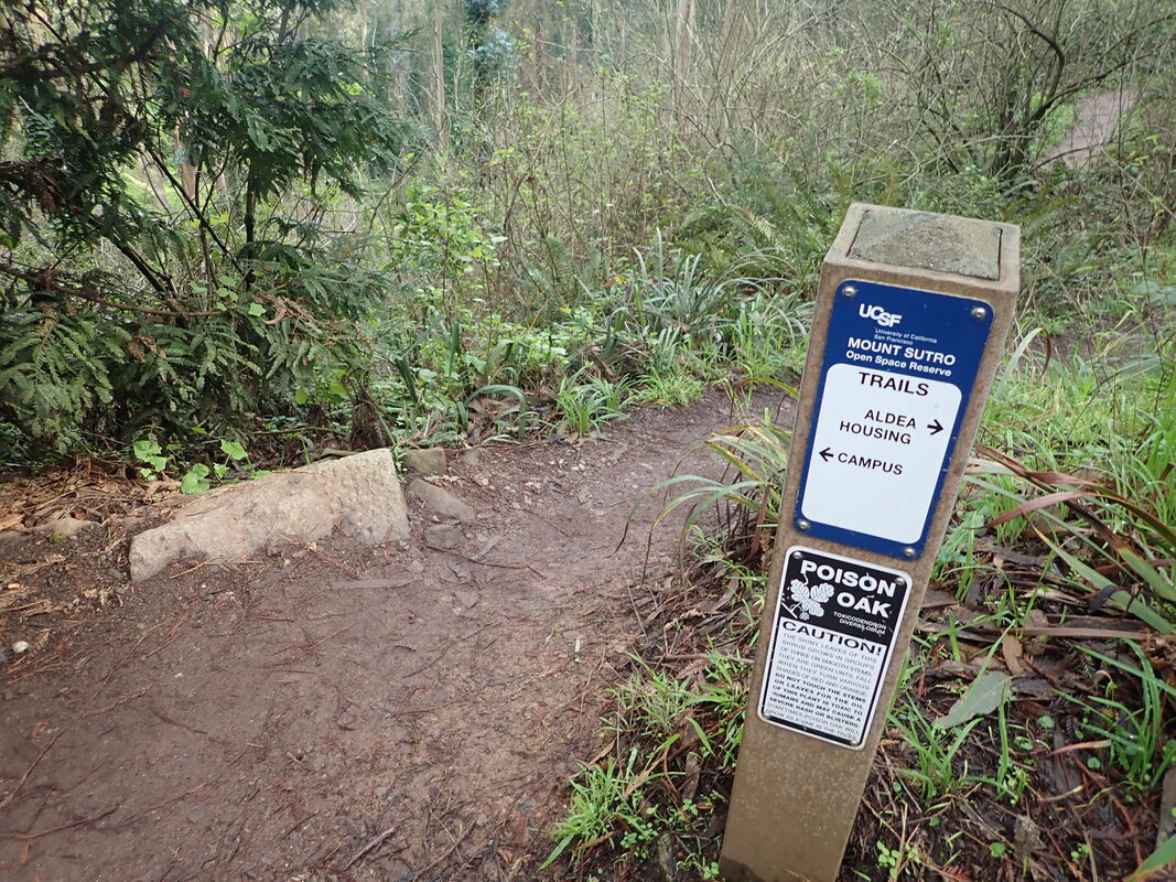
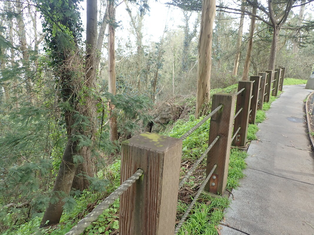
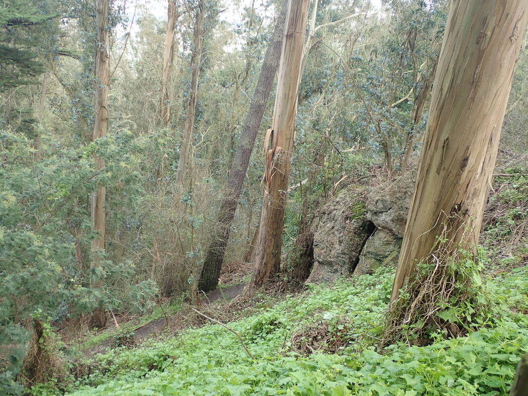
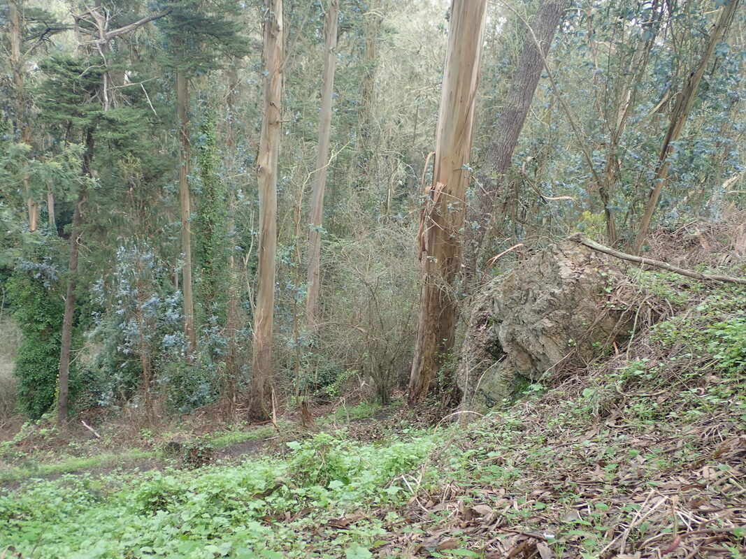
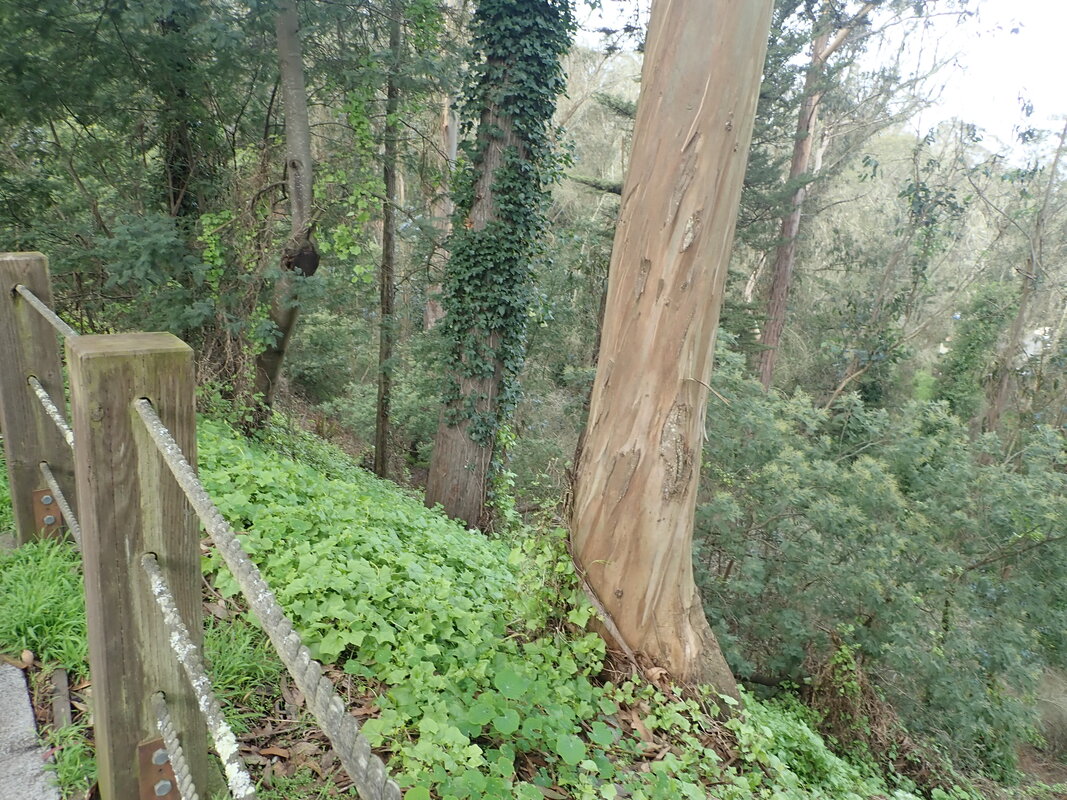
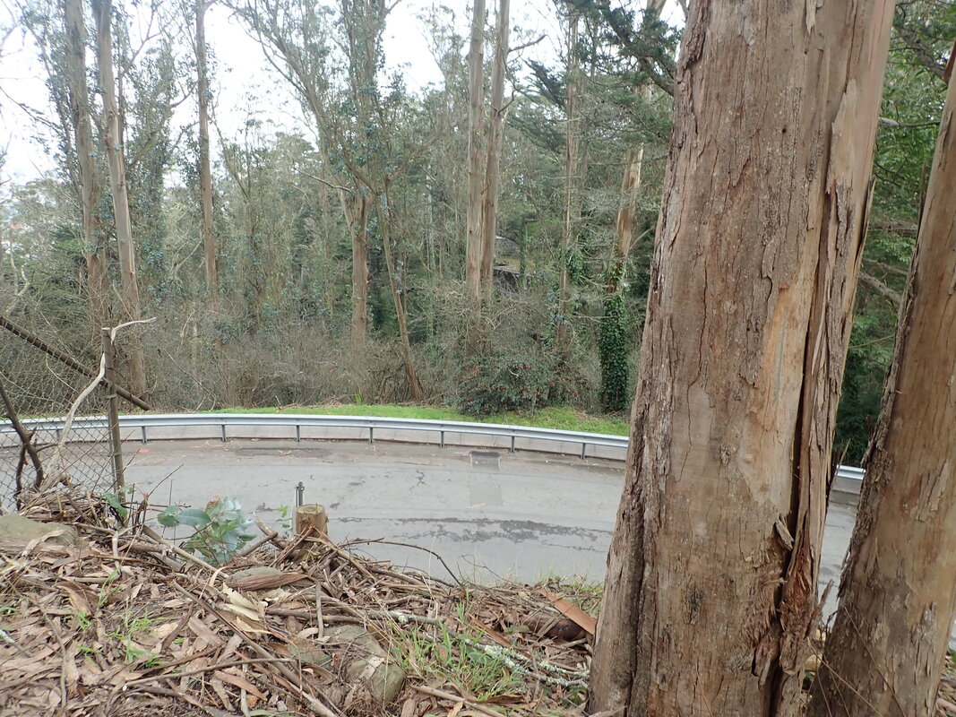
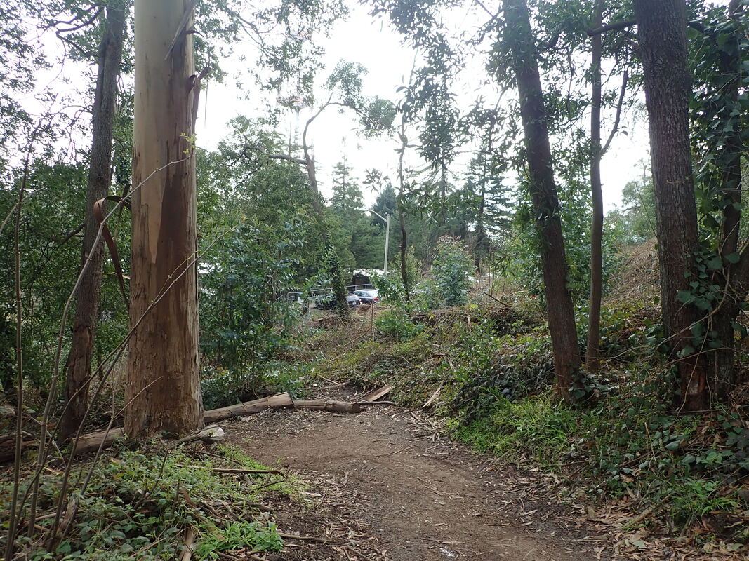
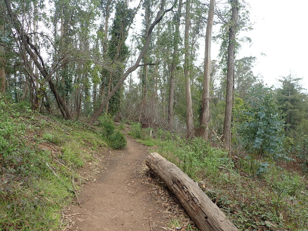
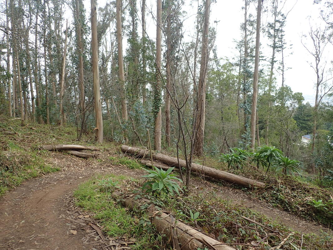
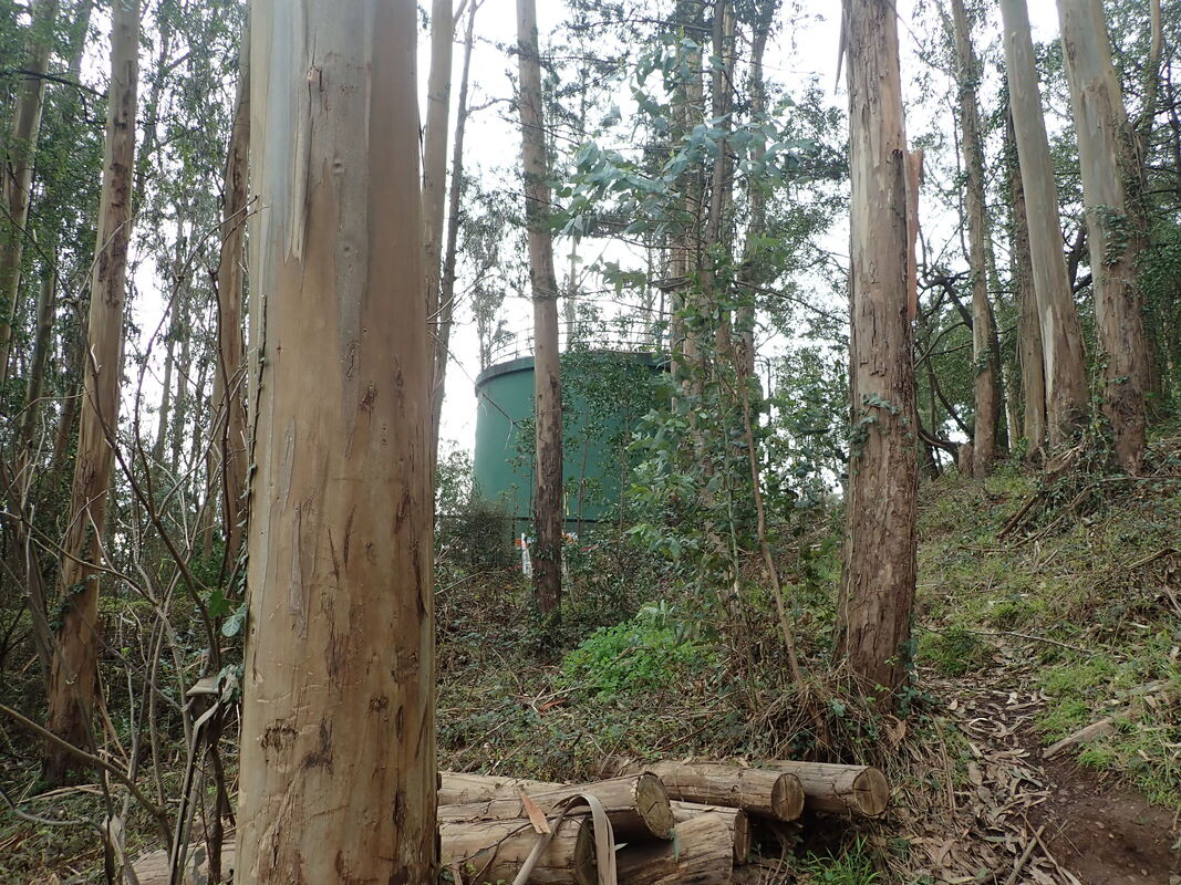
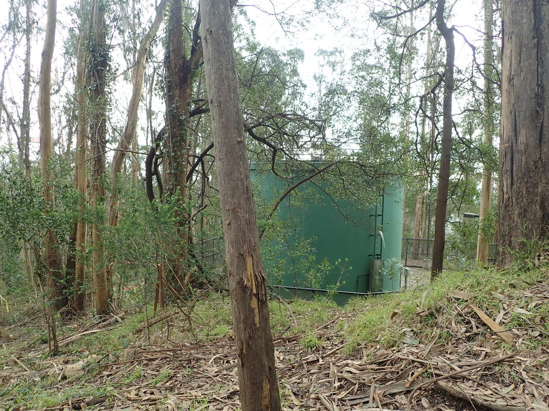
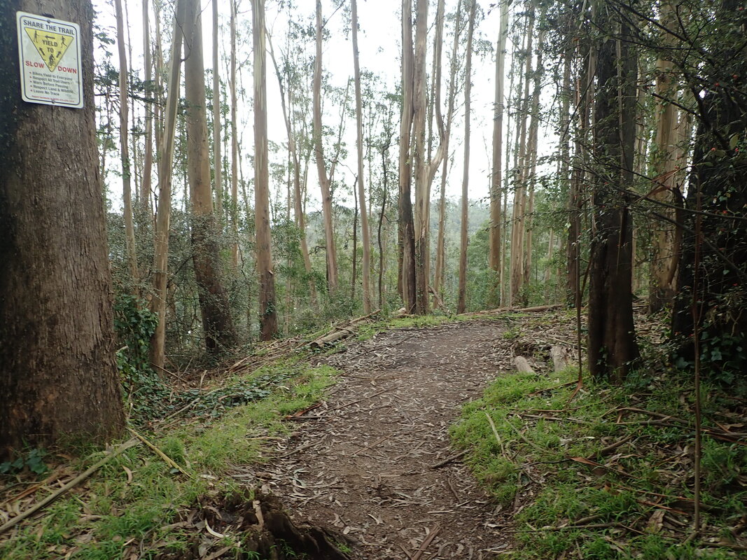
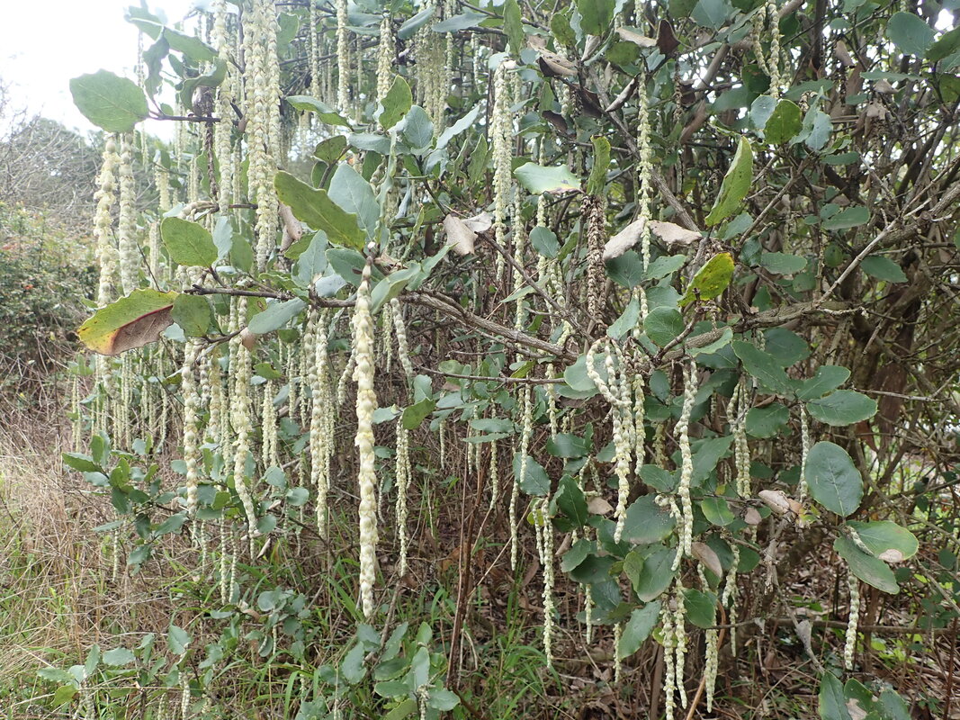
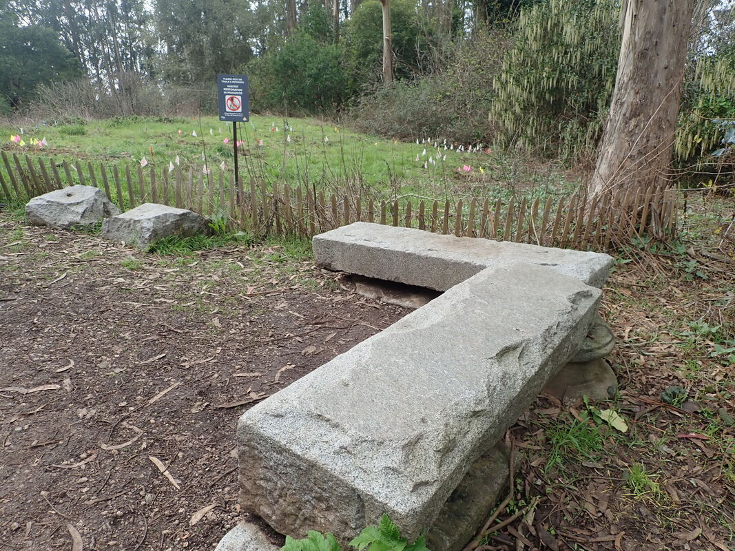
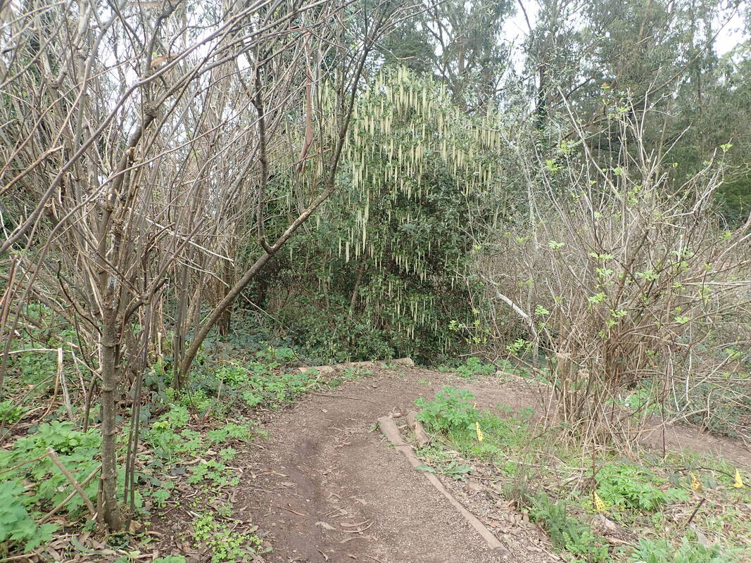
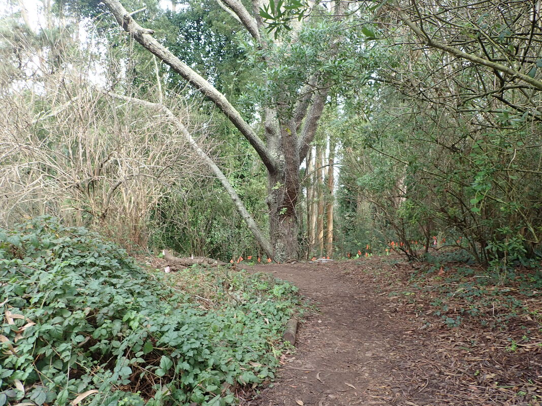
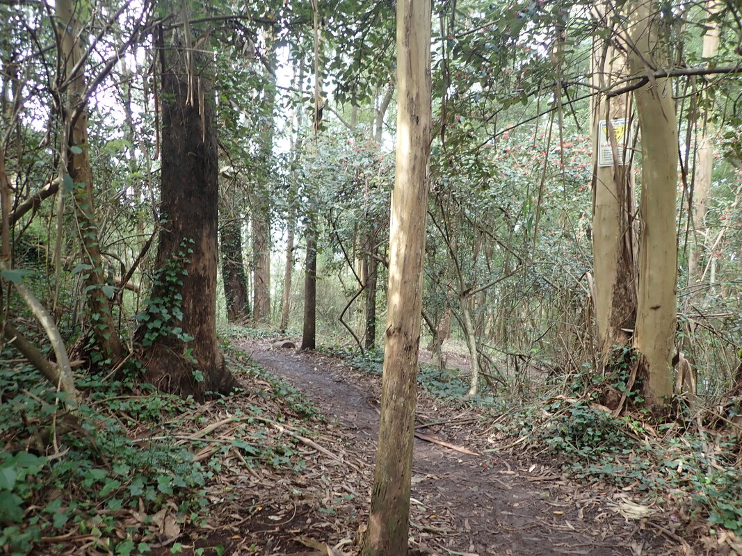
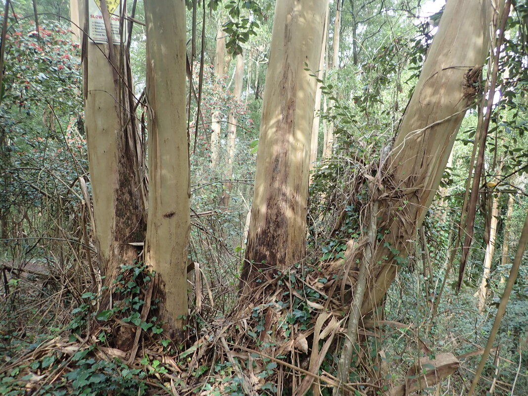
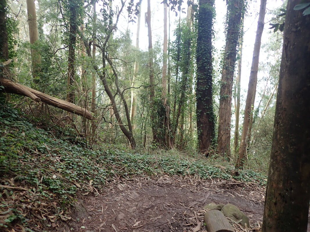
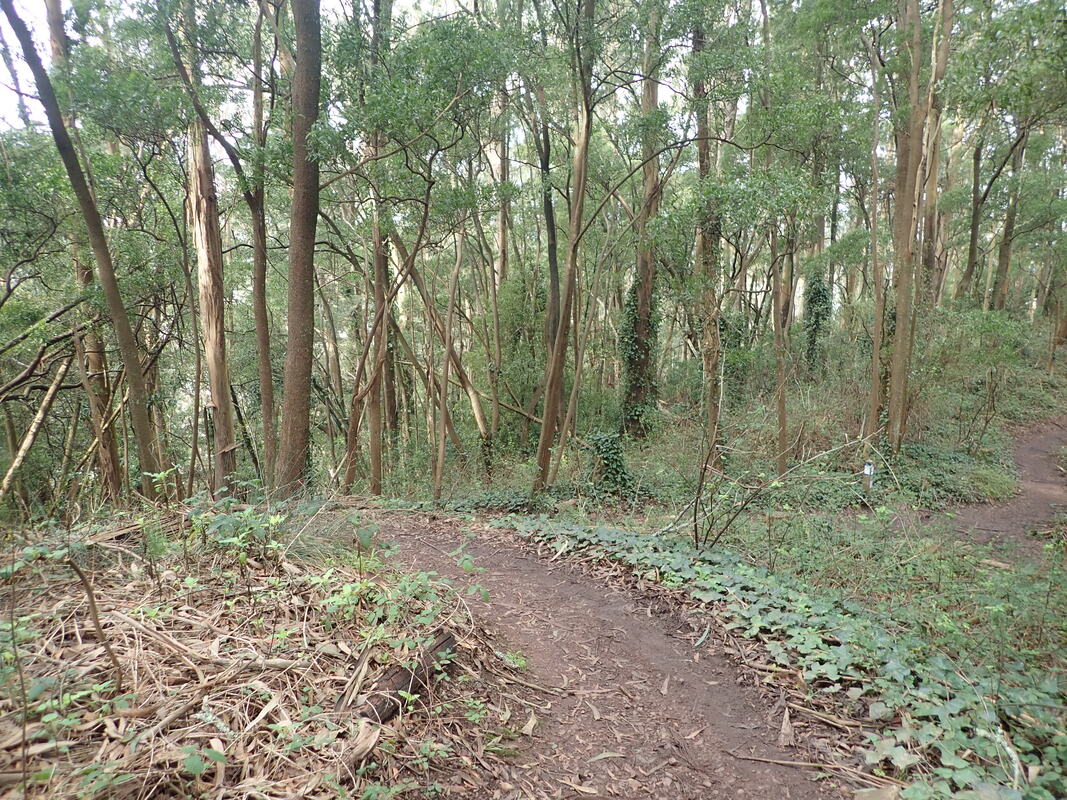
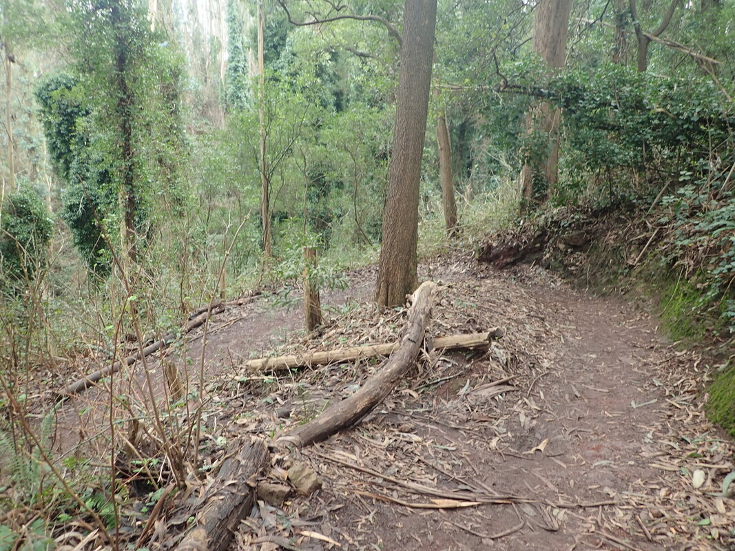
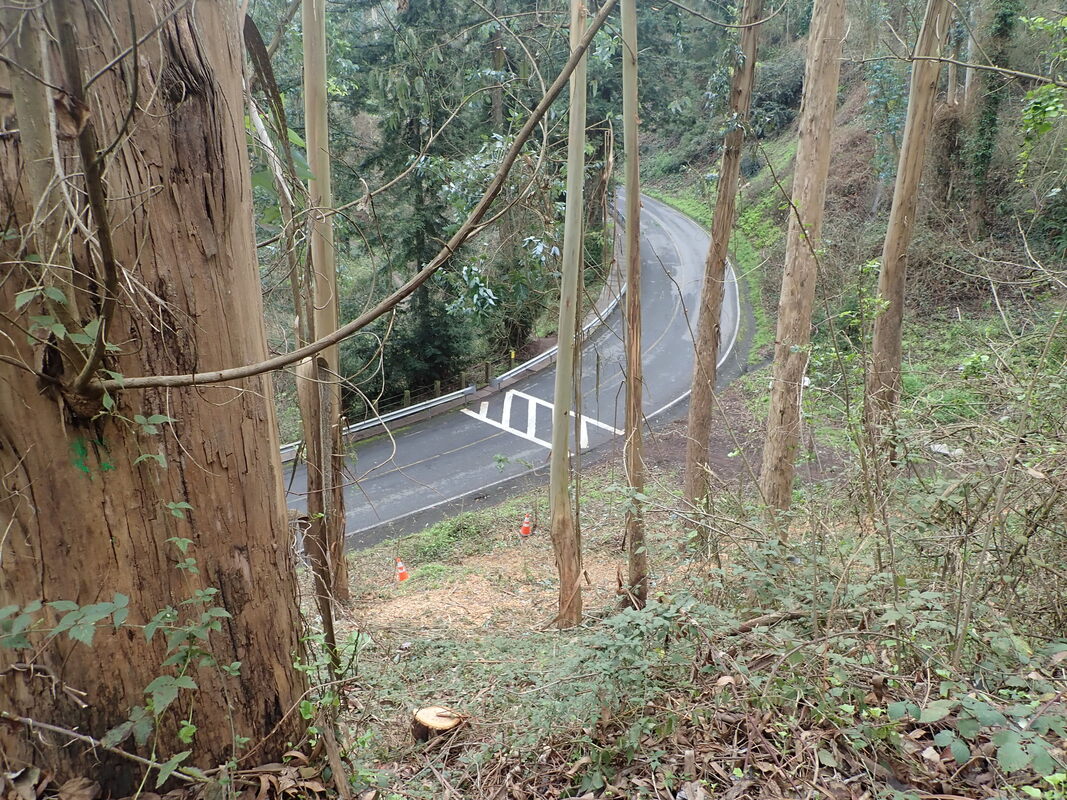
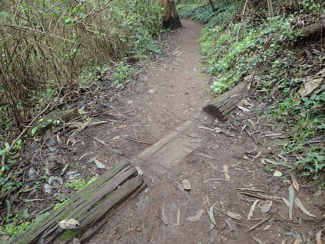
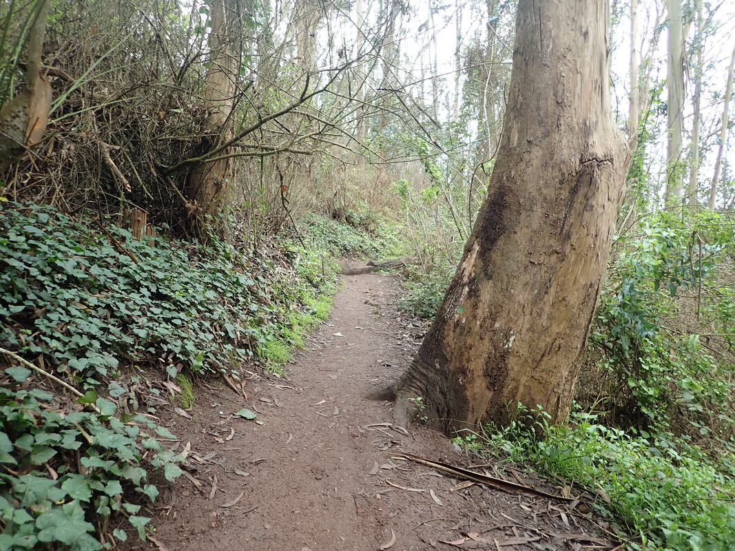
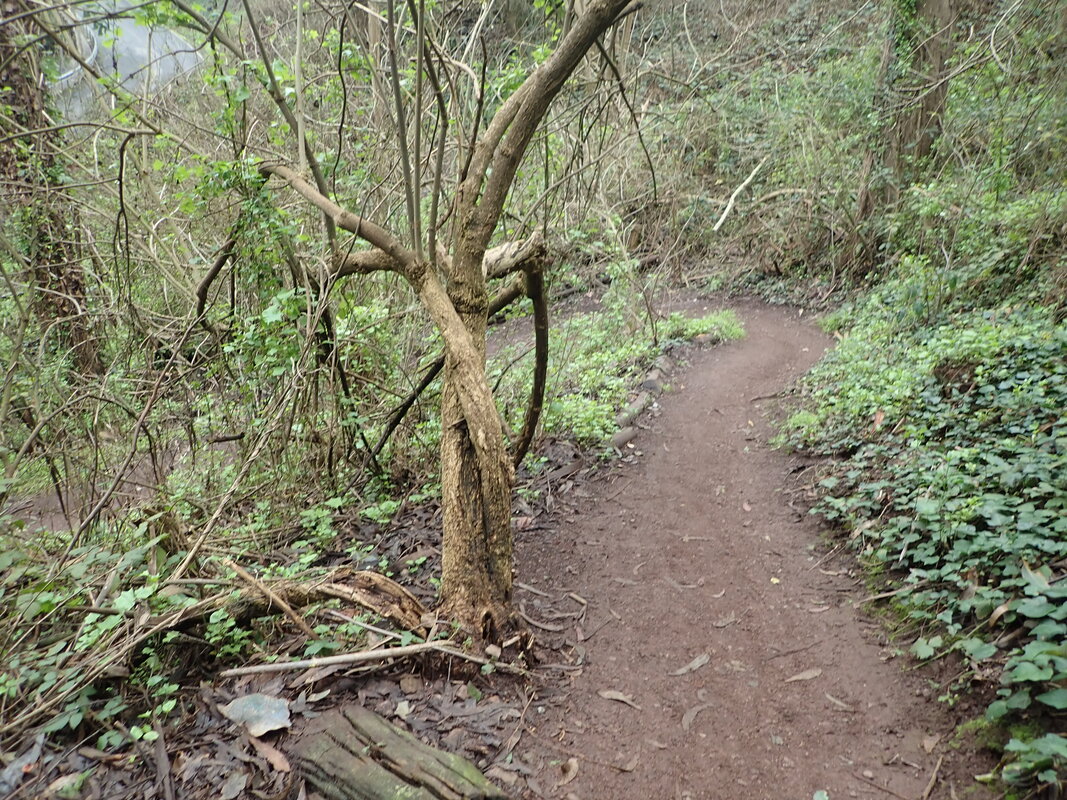
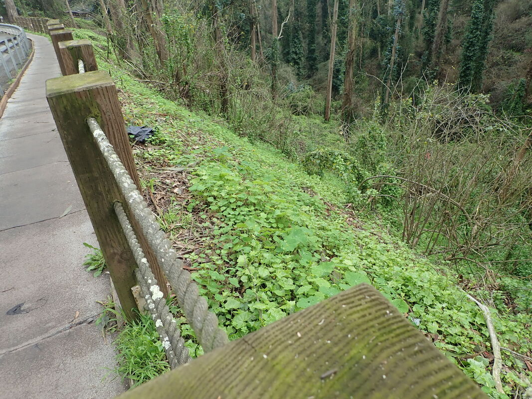
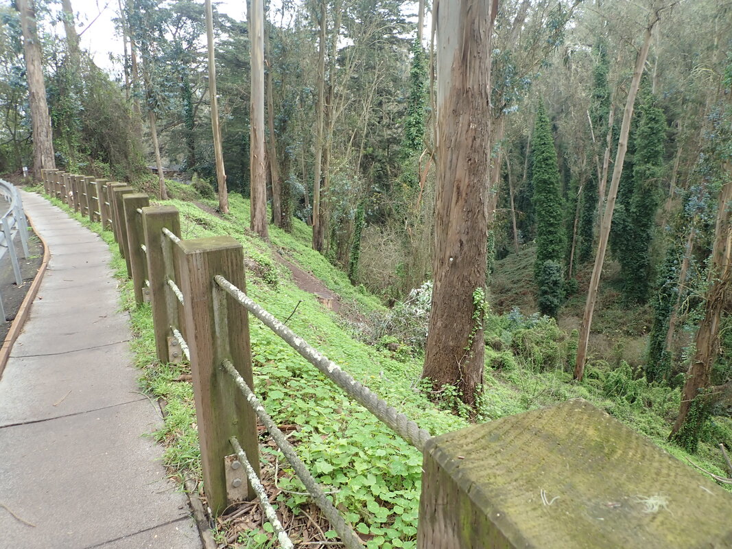
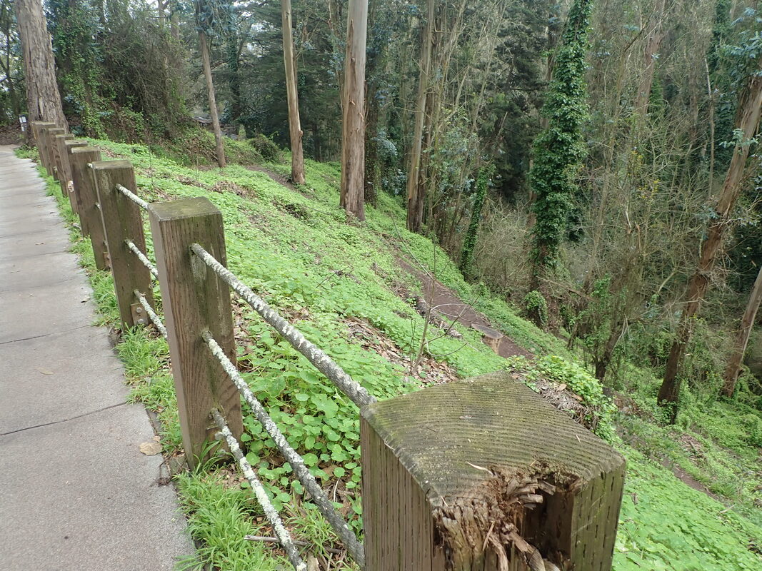
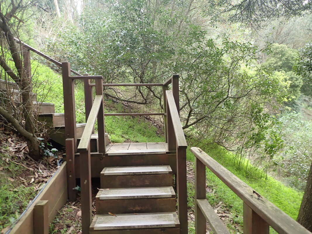
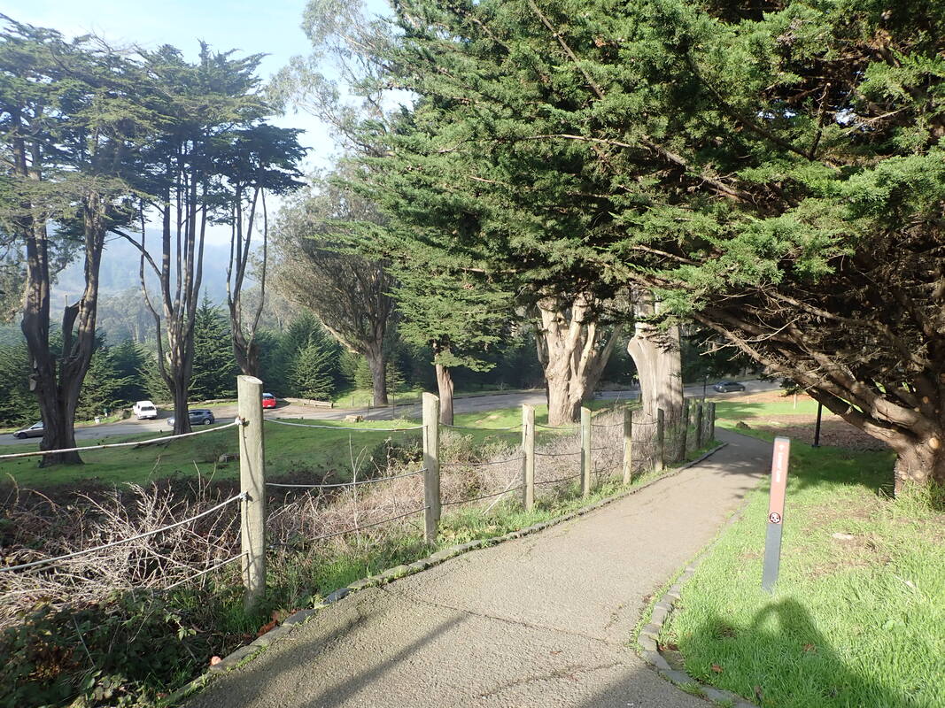
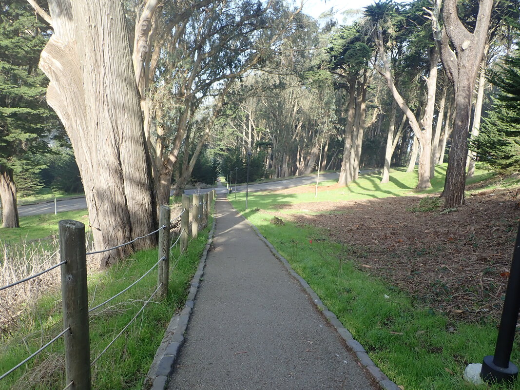
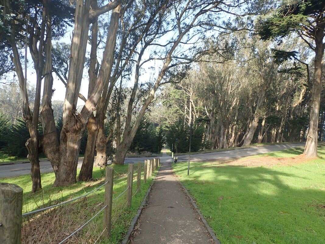
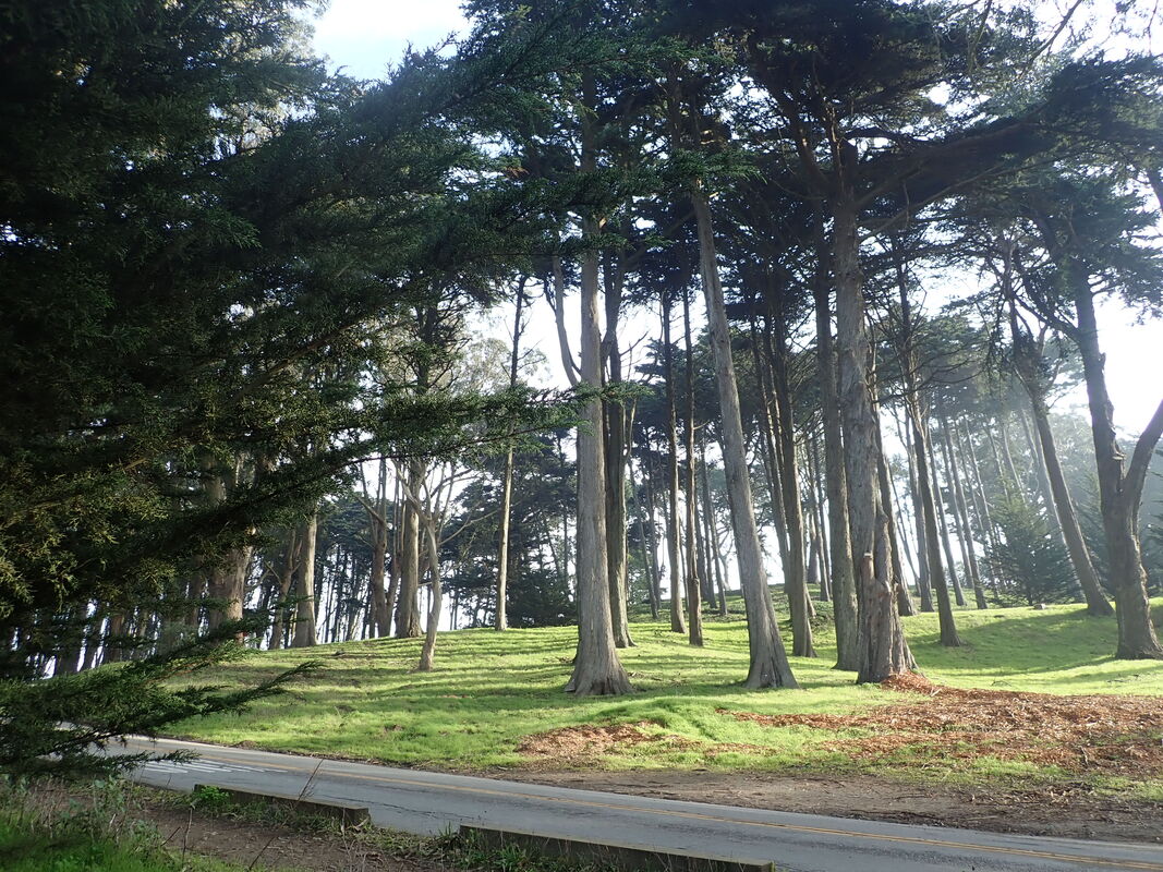
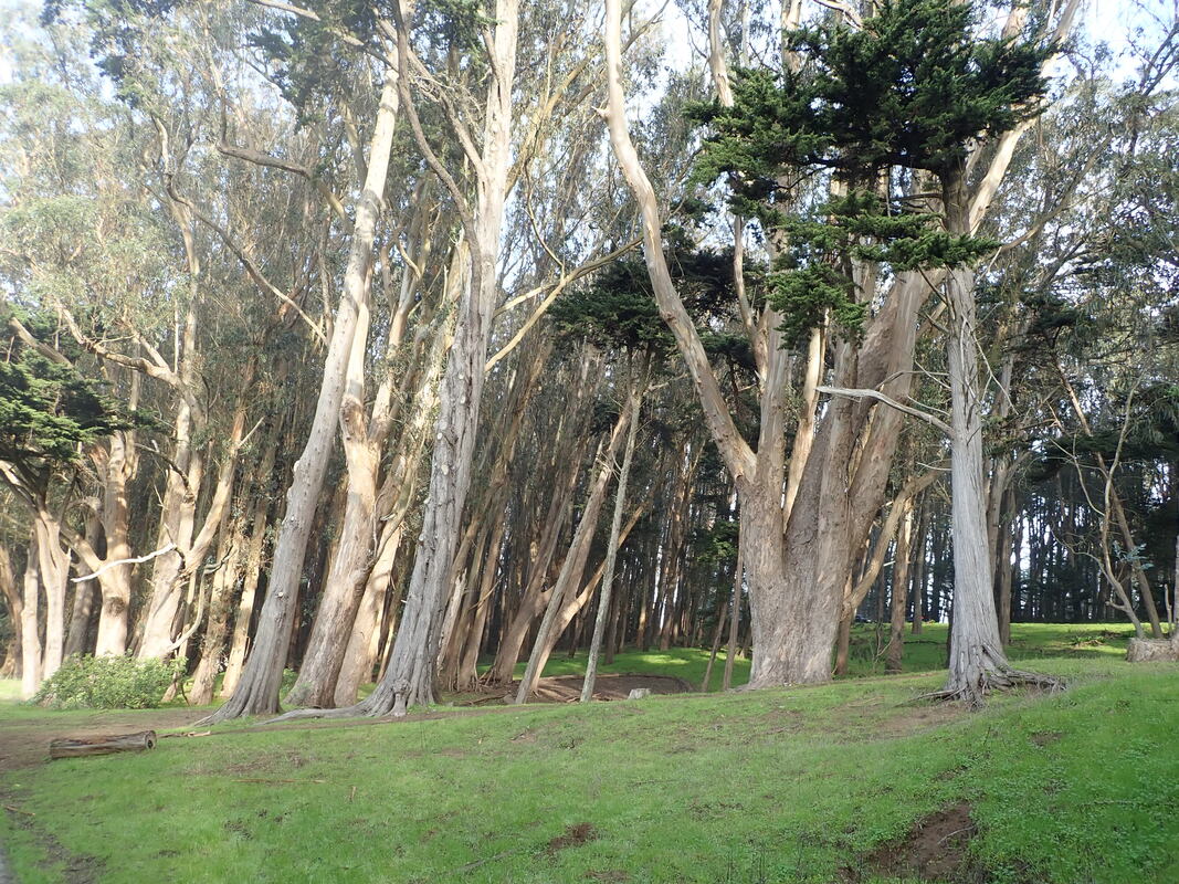
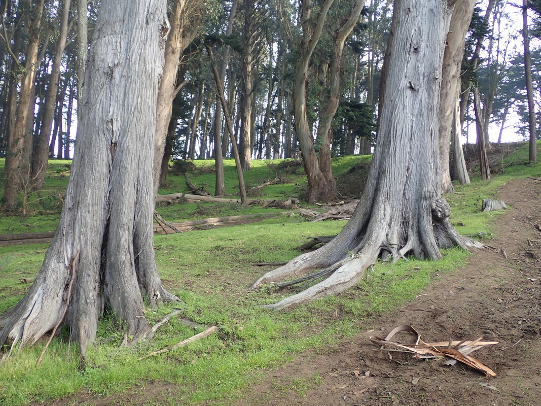
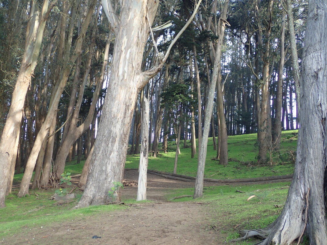
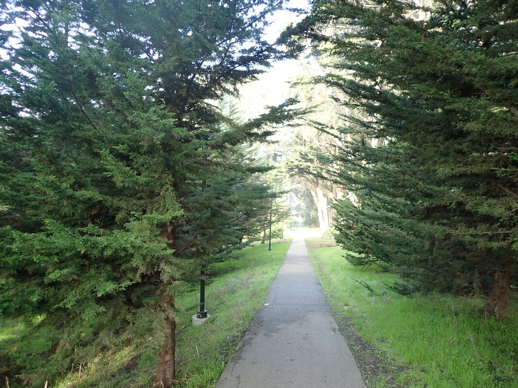
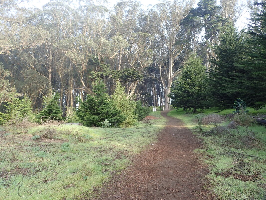
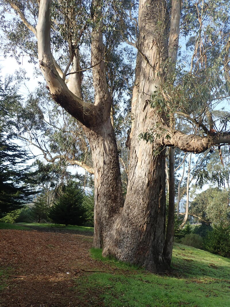
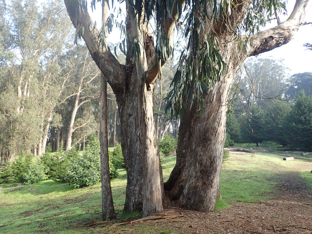
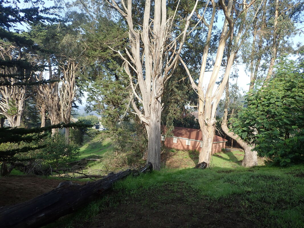
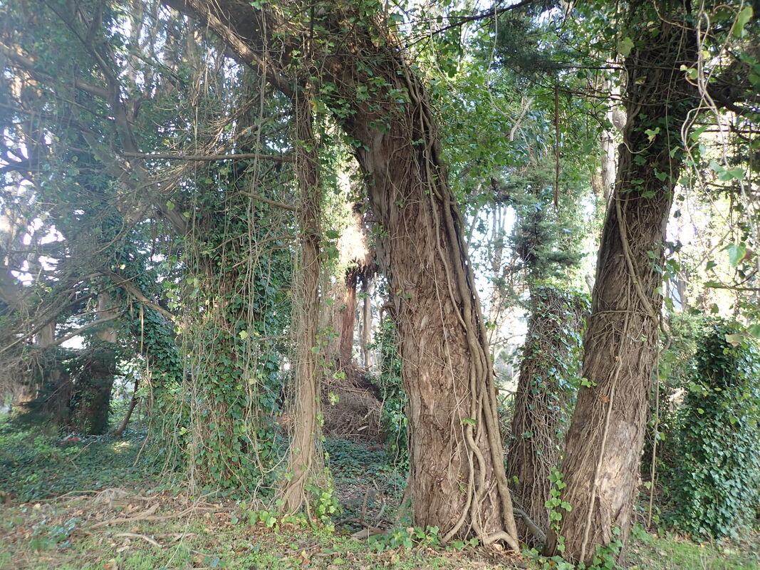
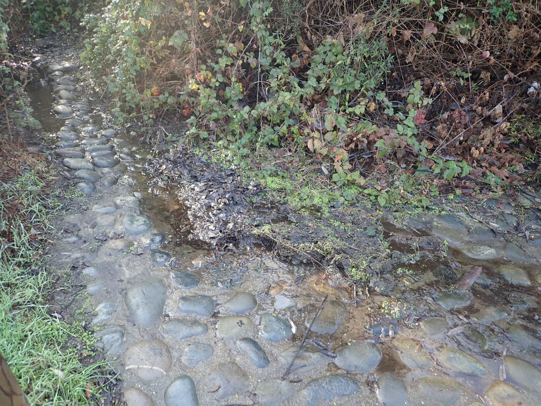
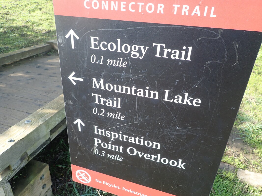
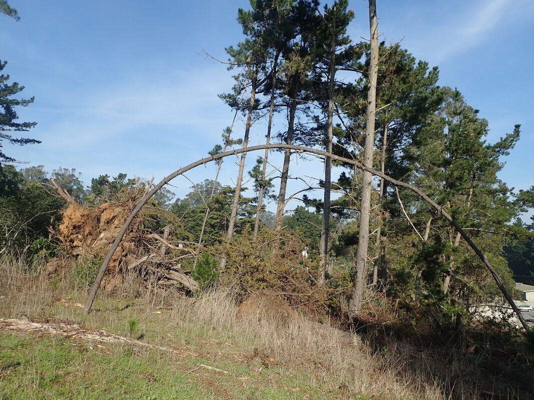
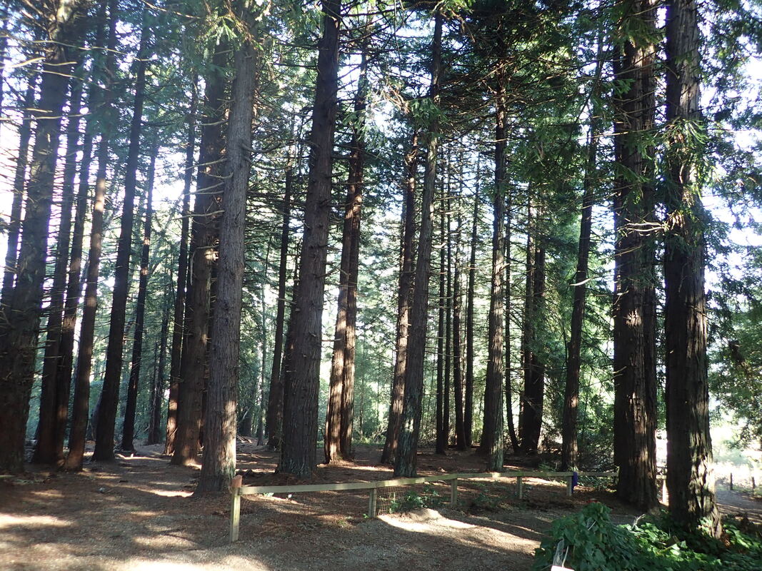
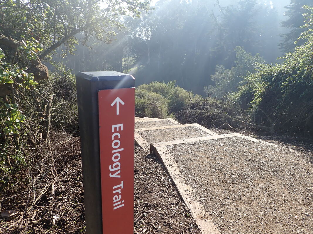
On the west canyon floor trail. Lots of miner’s lettuce in the parks now: 2 thru 29
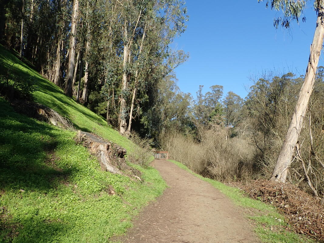
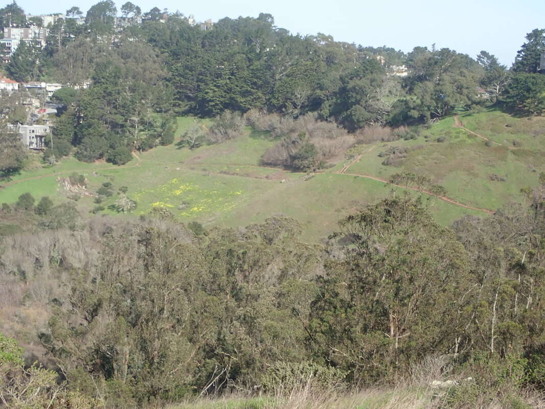
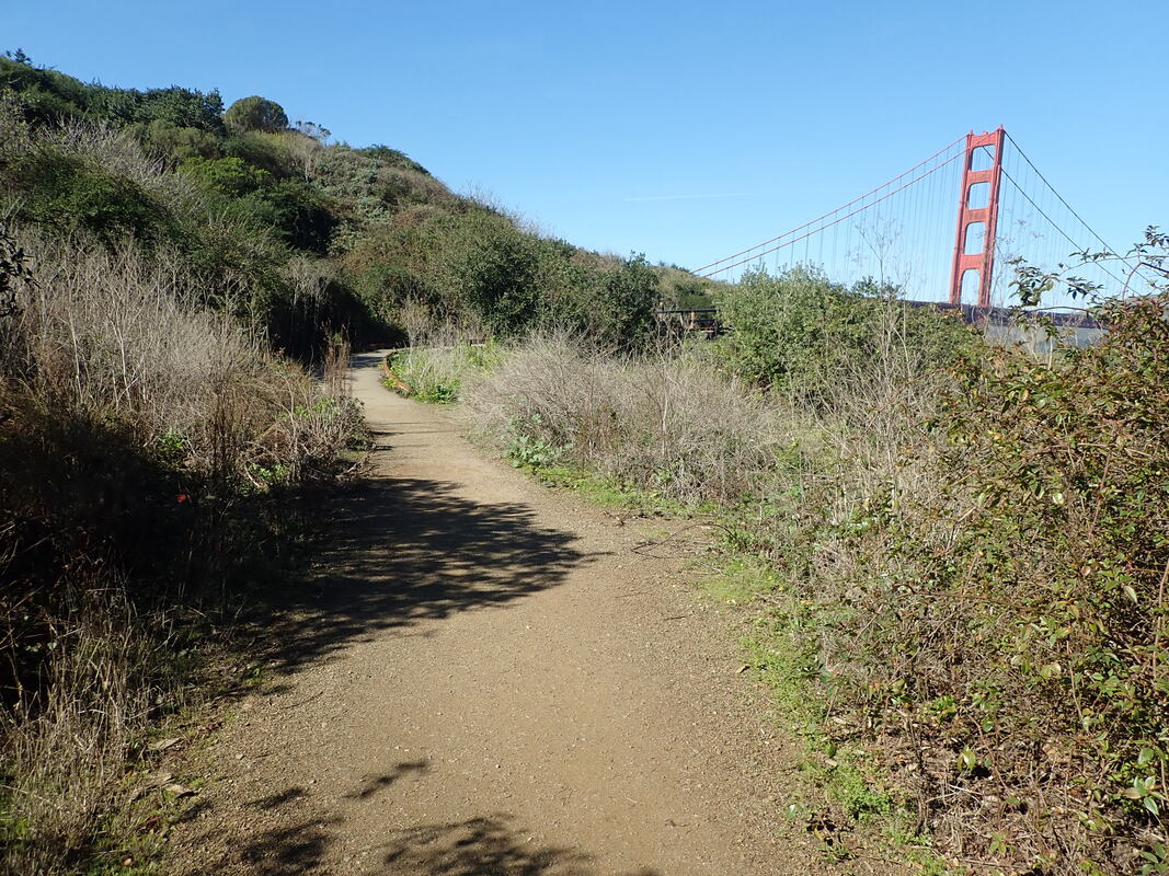
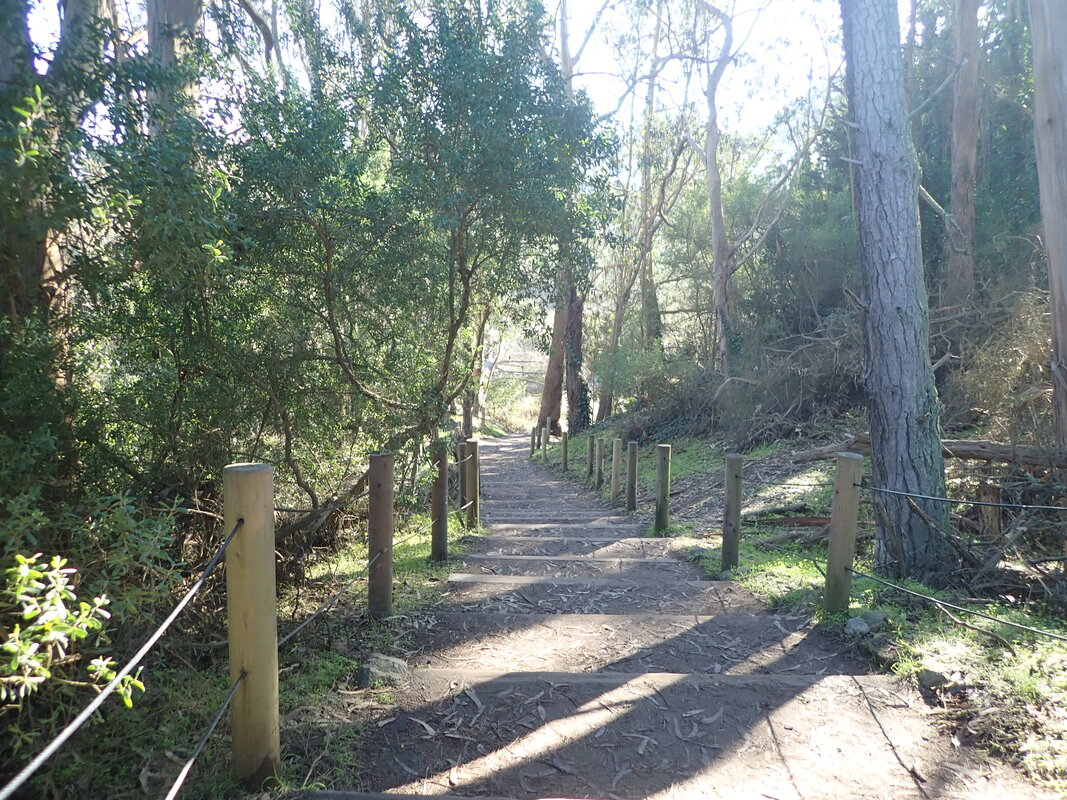
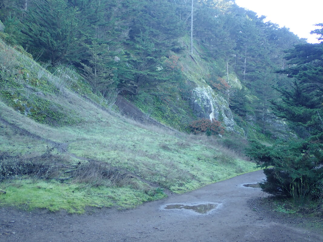
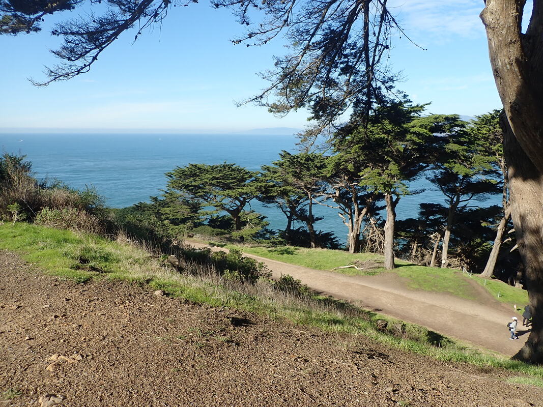
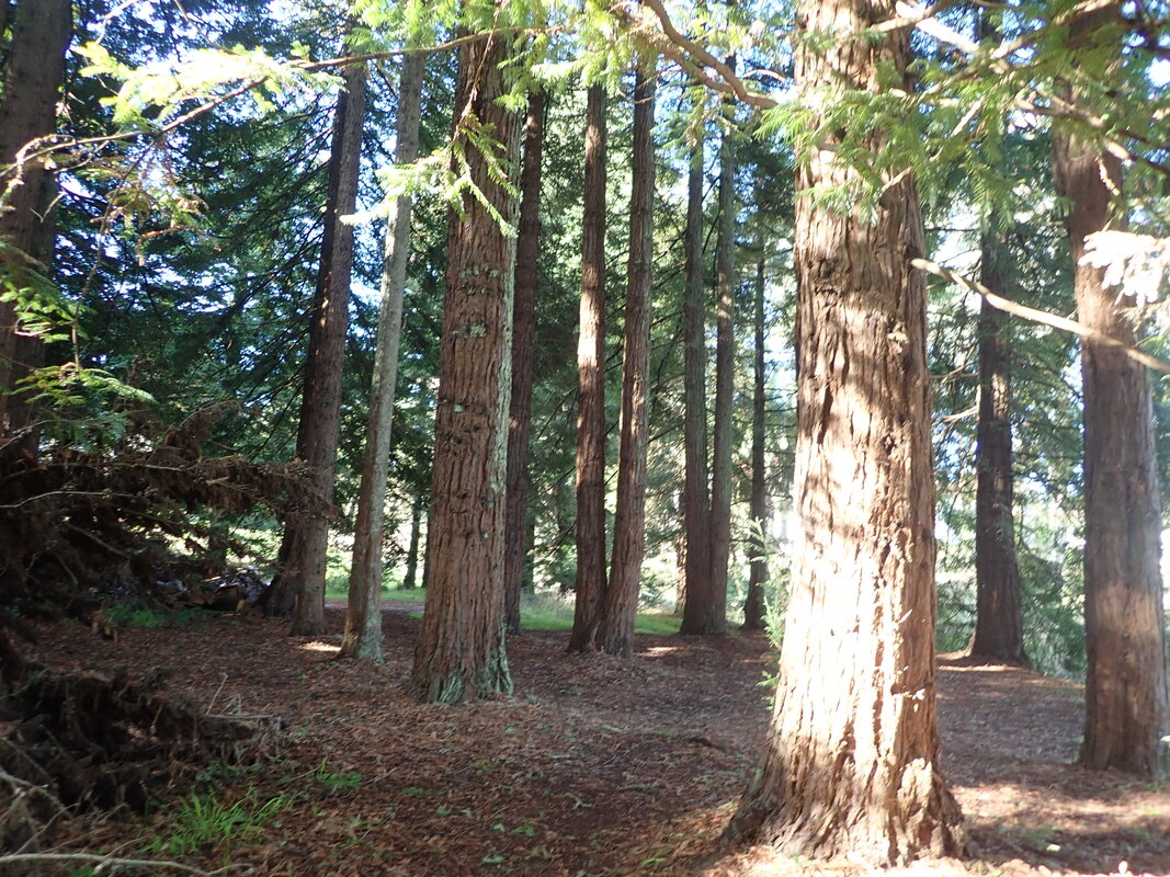
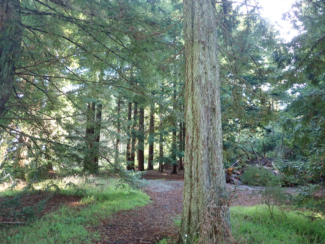
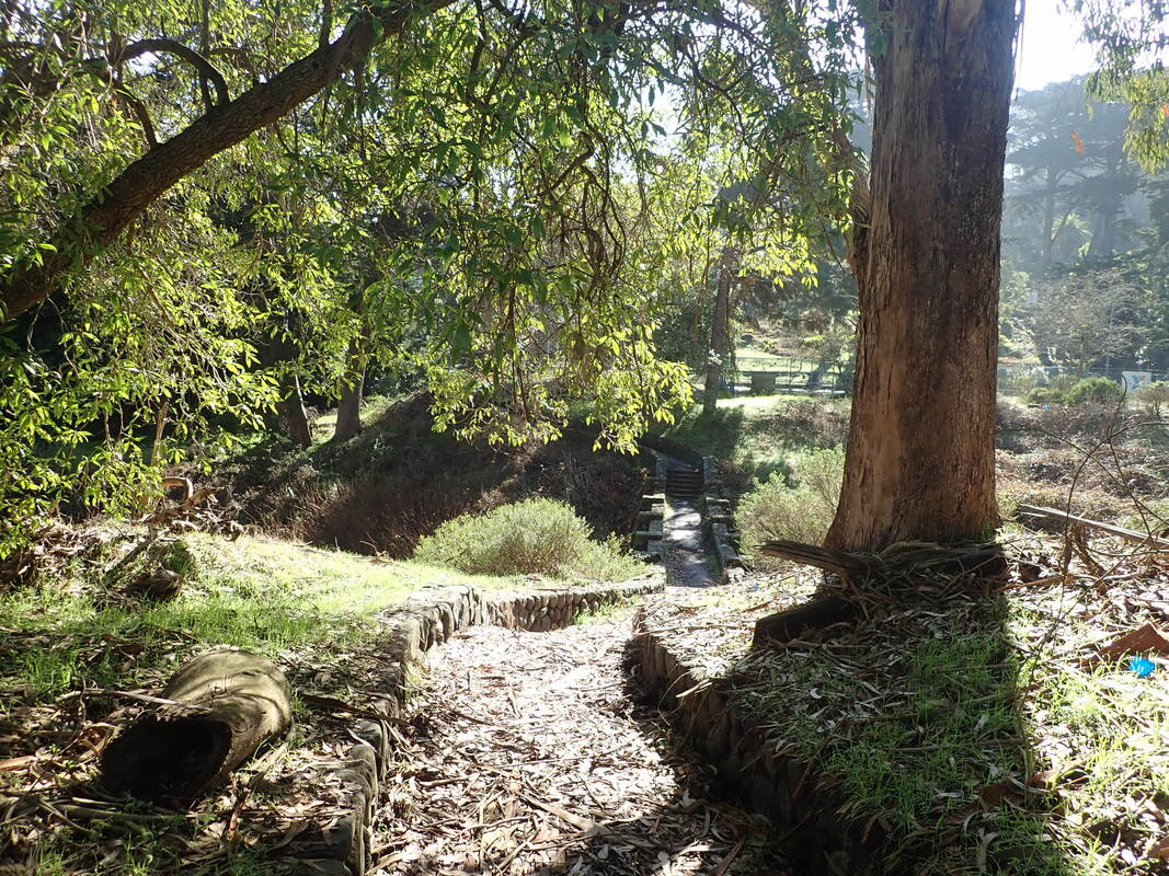
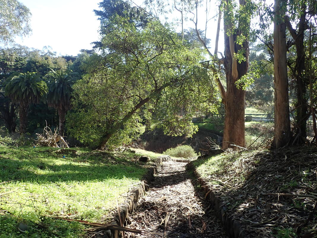
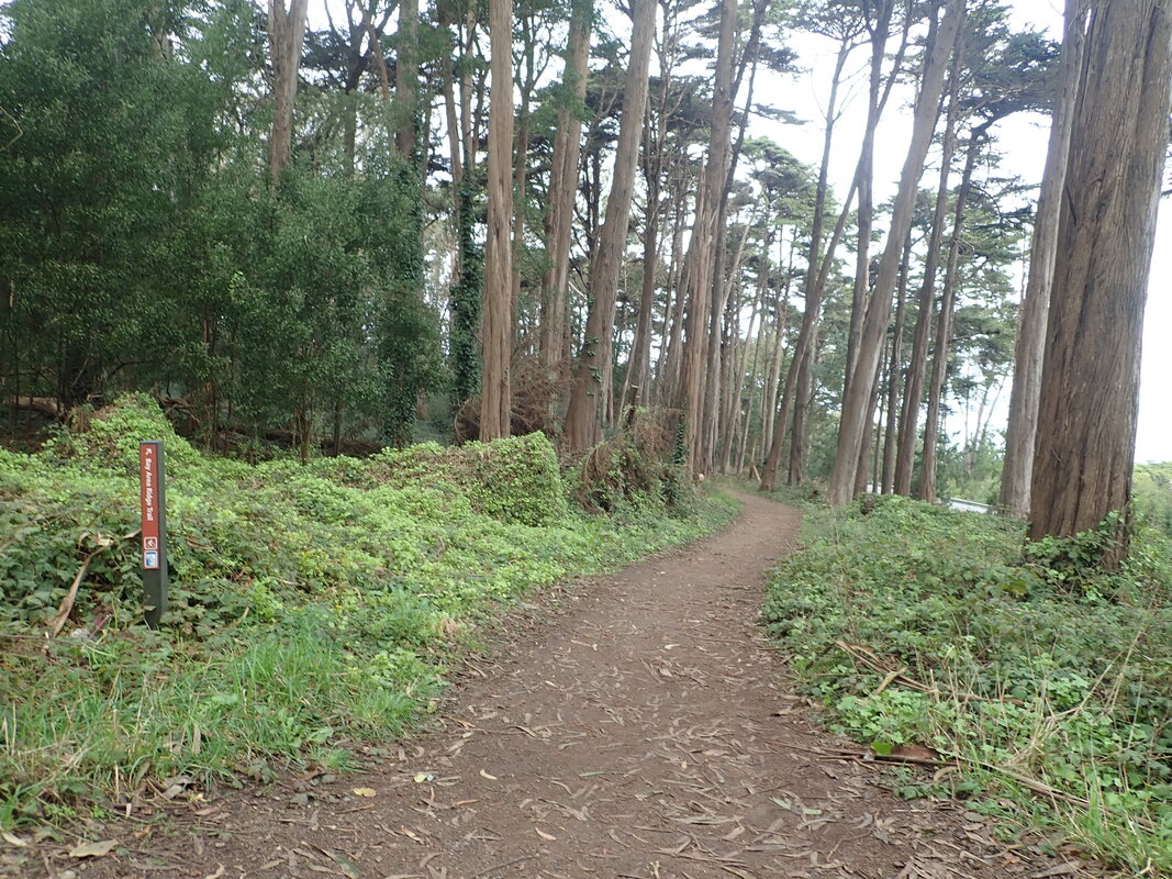
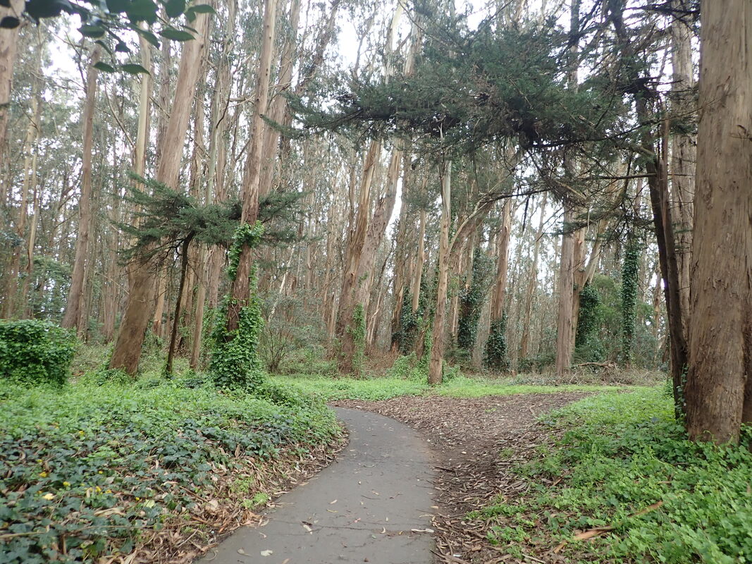
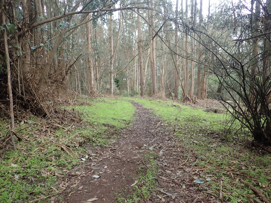
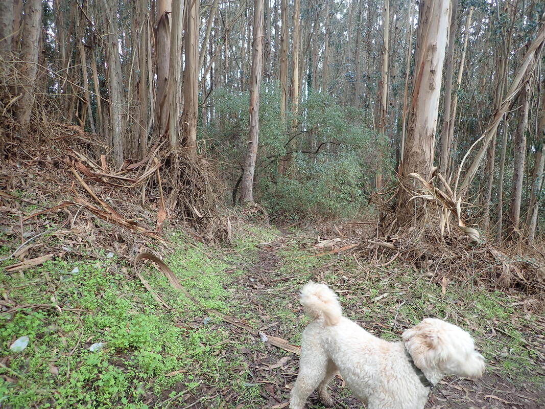
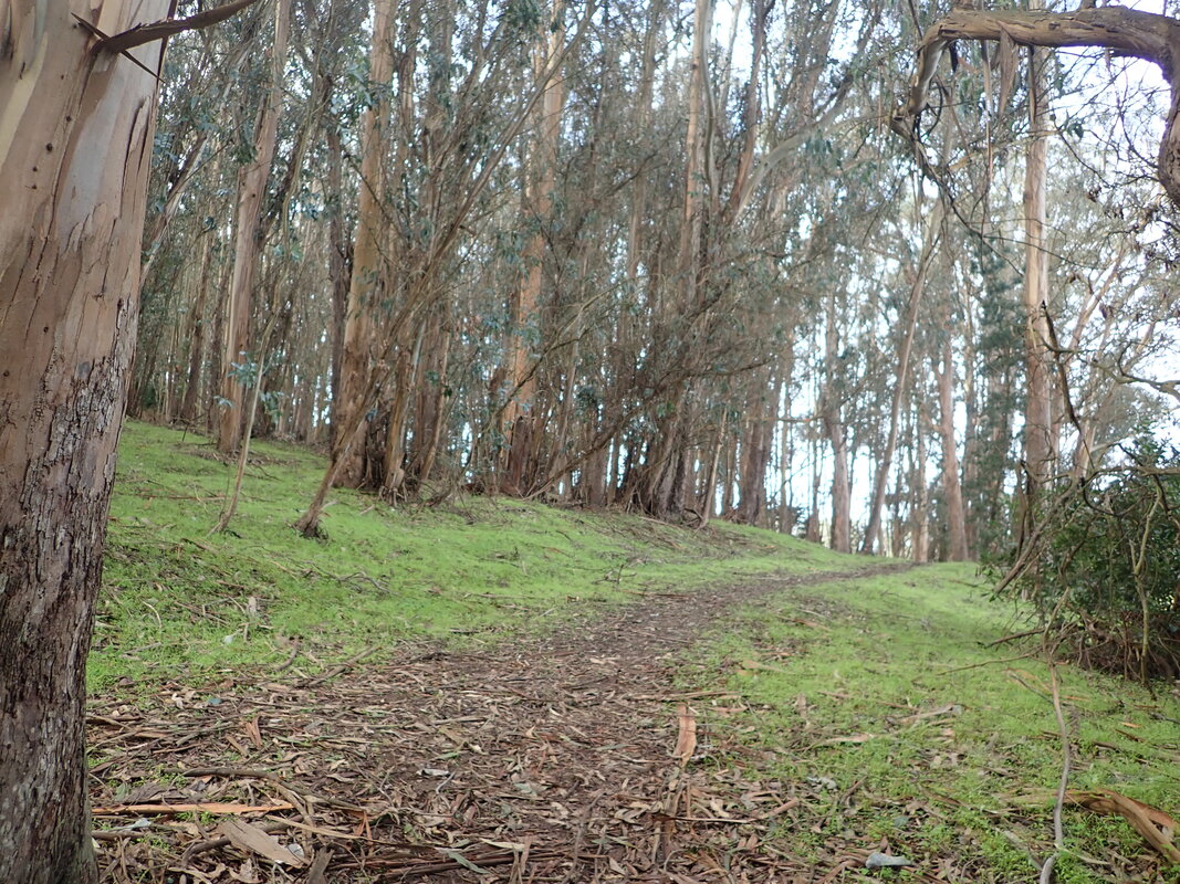
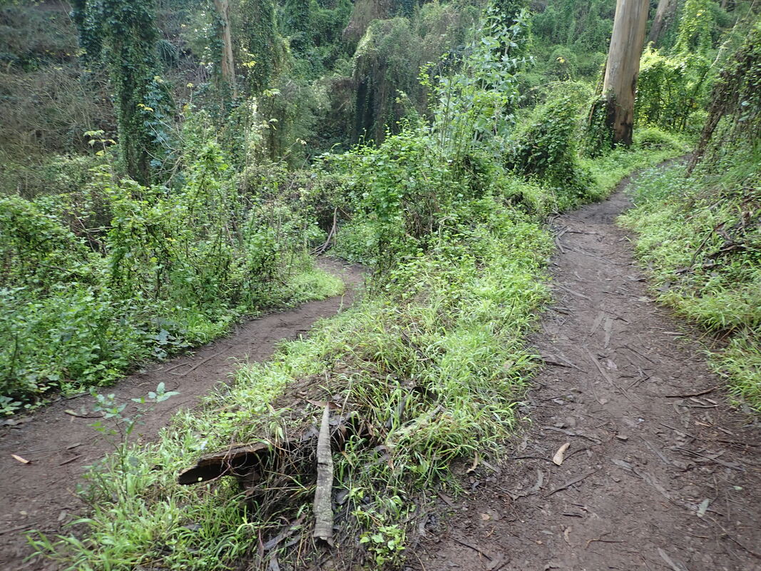
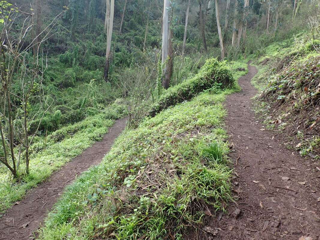
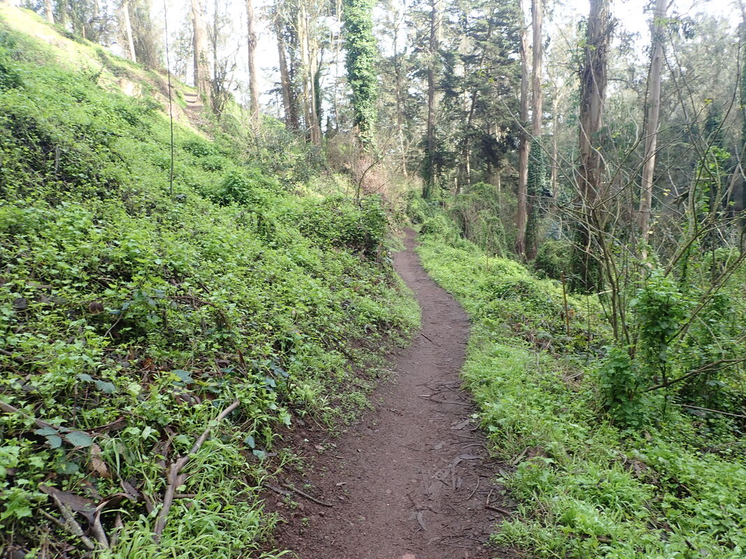
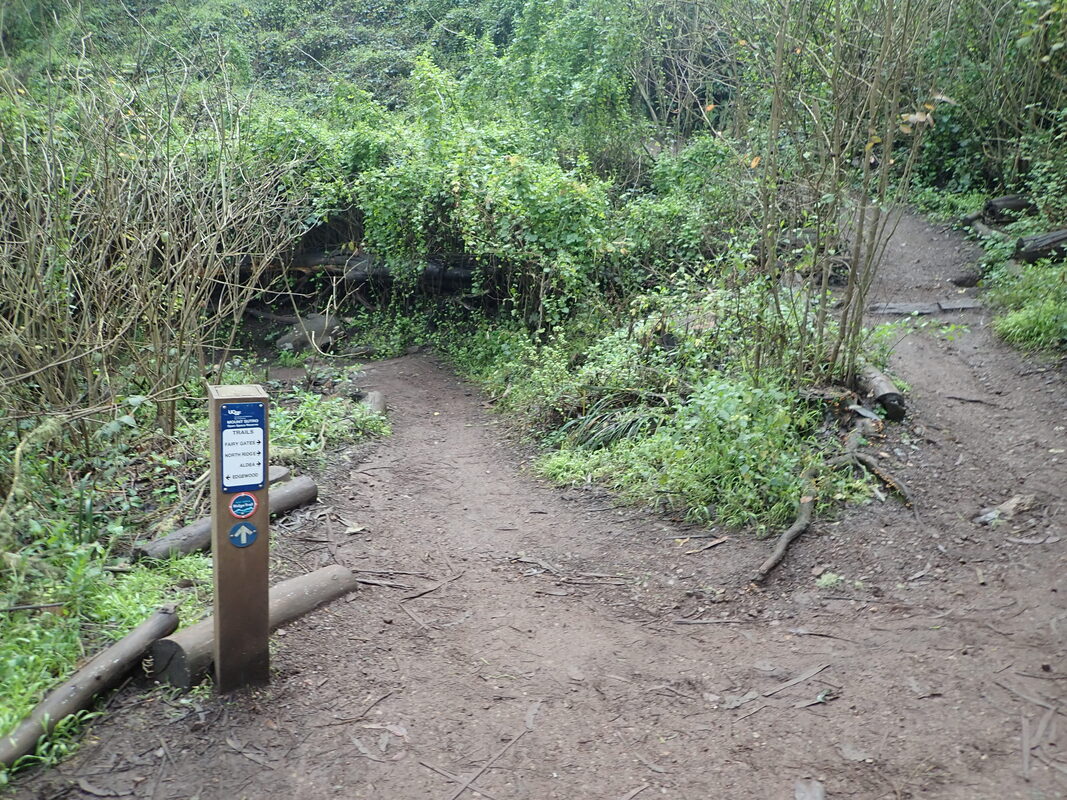
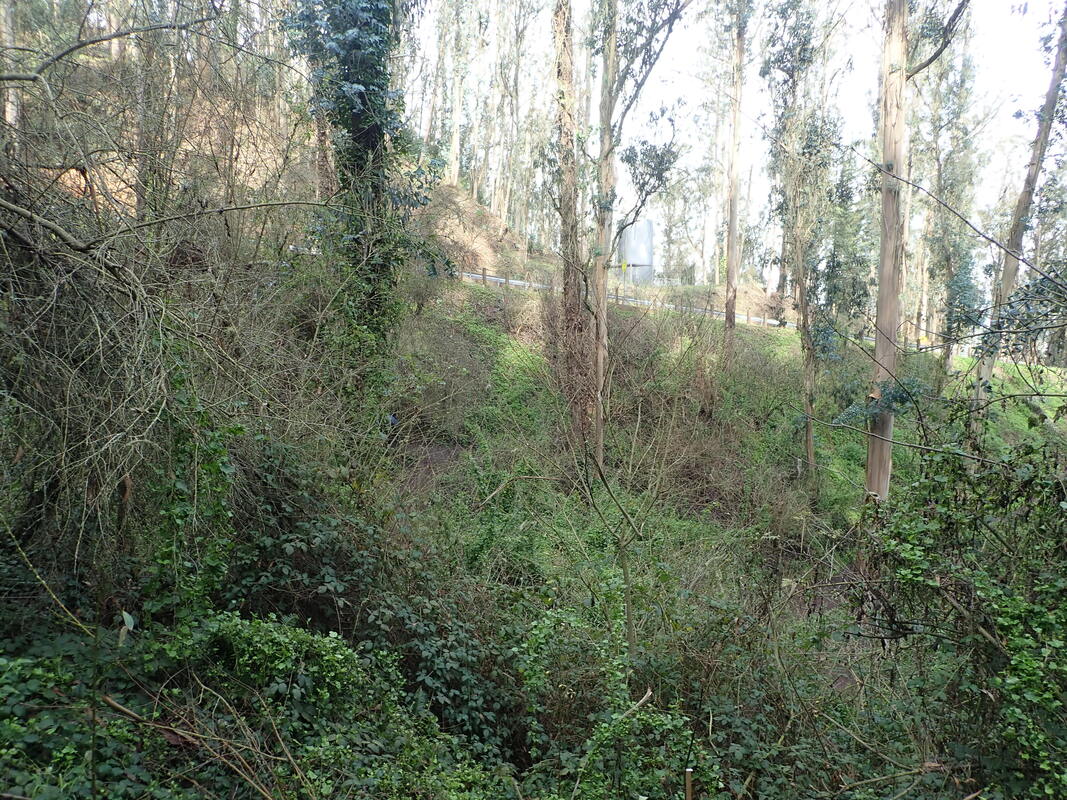
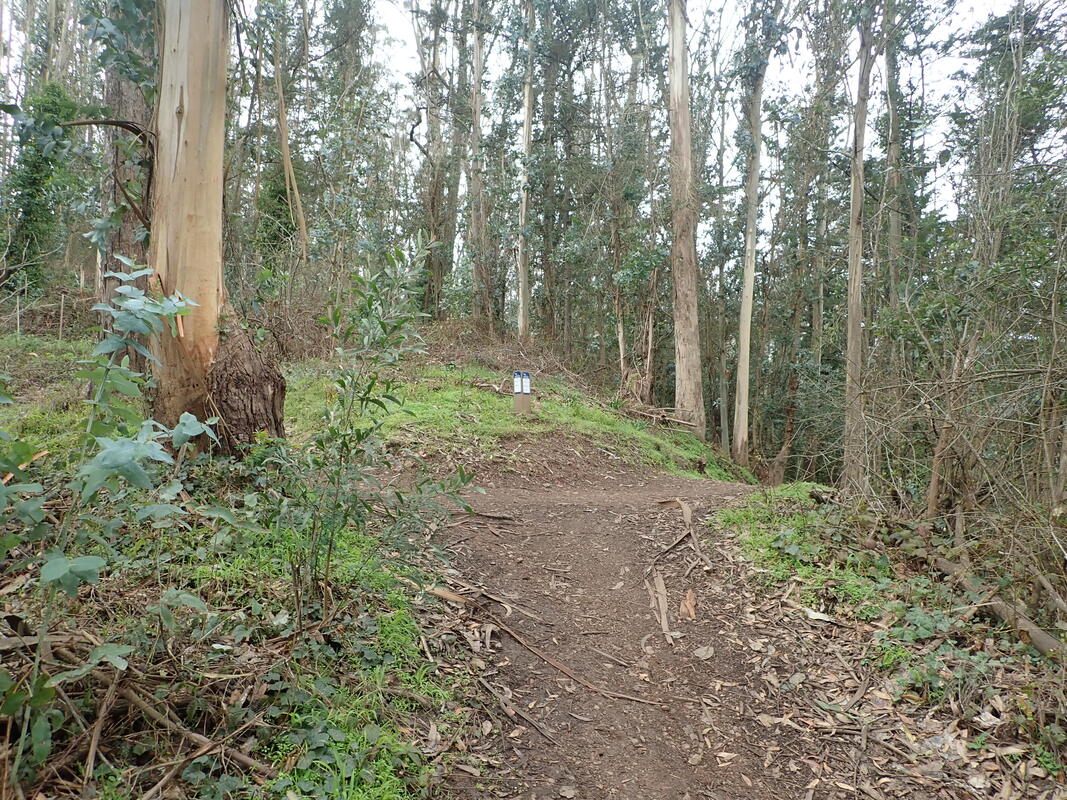
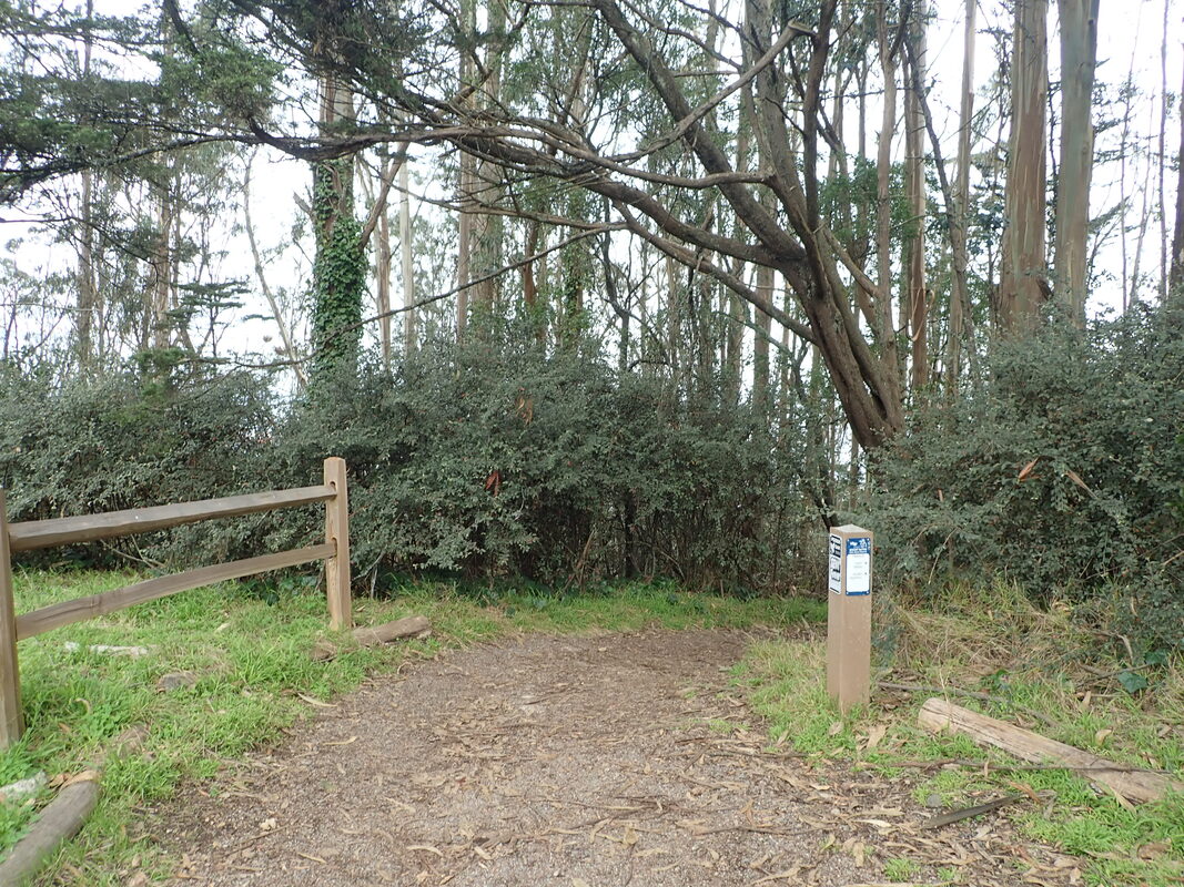
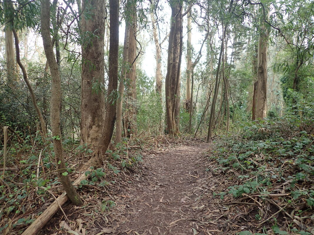
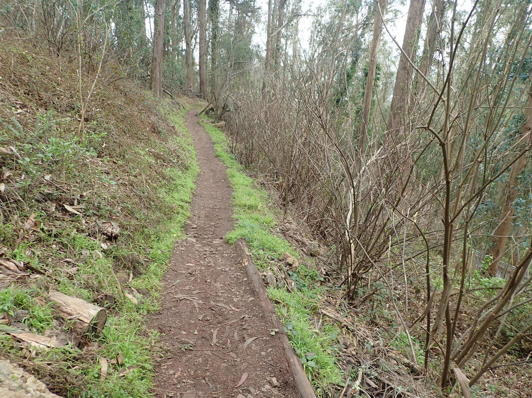
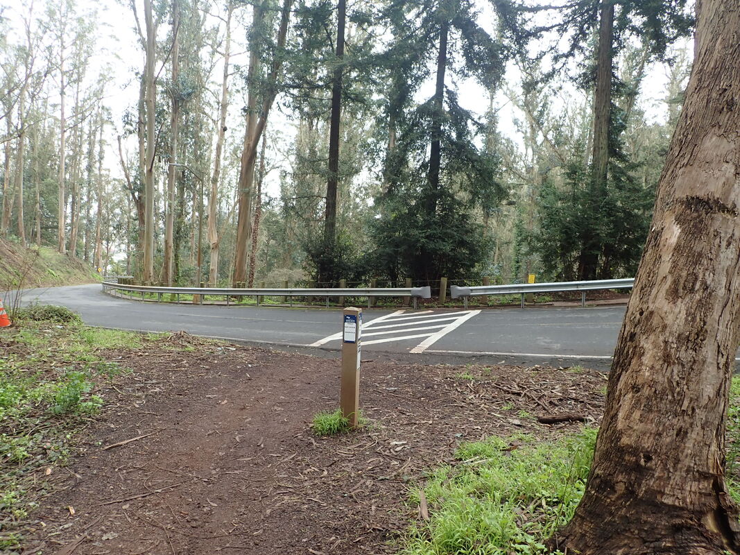
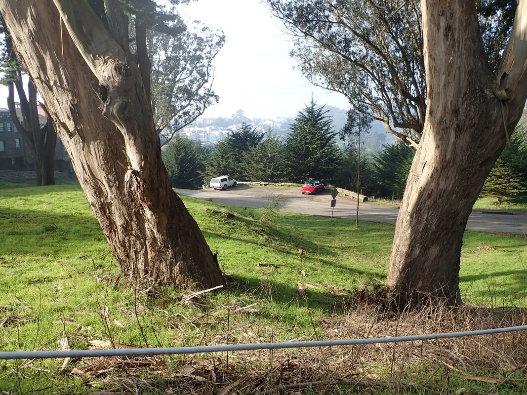
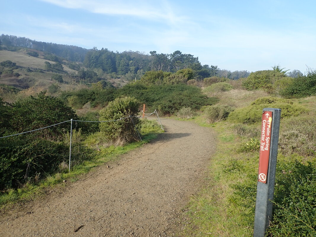
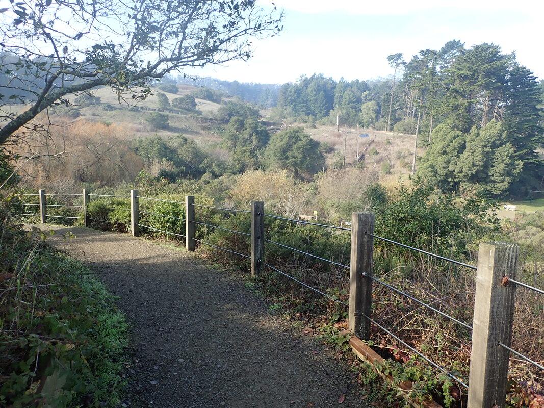
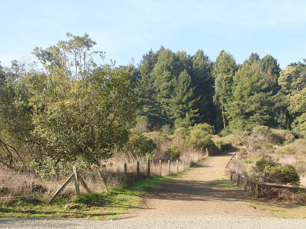
The trail turns east and continues north: 30 thru 35
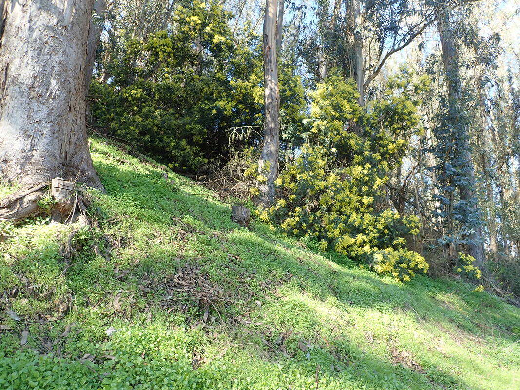
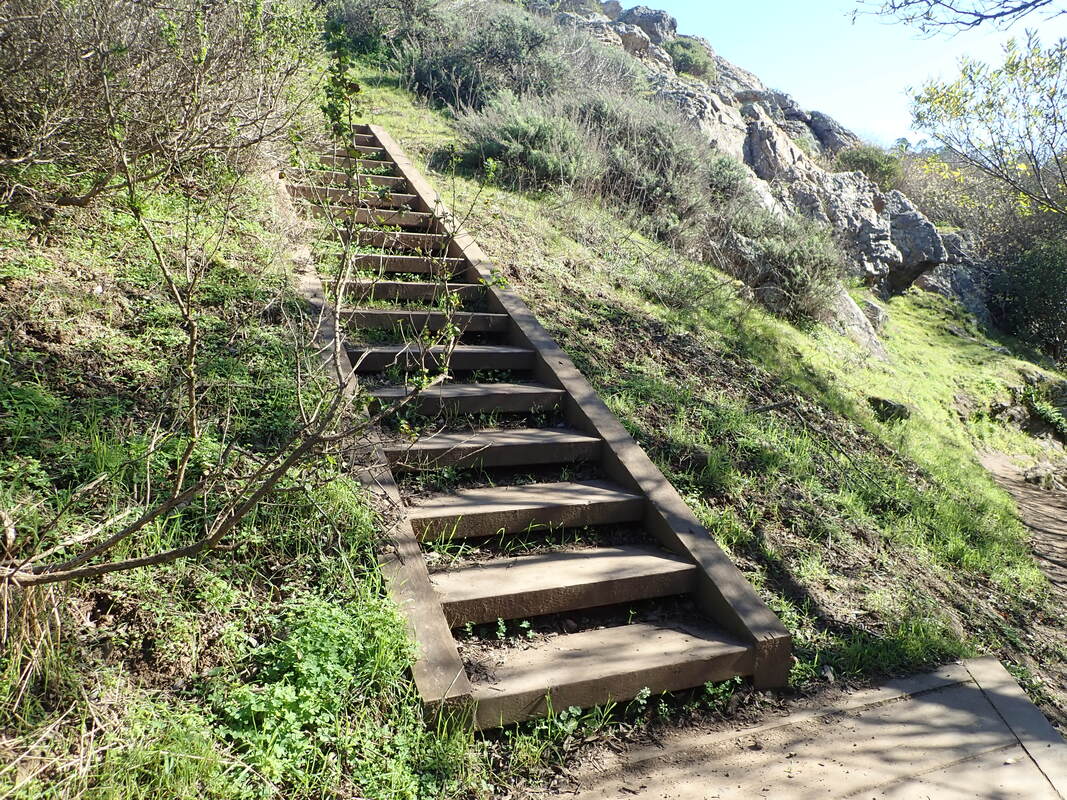
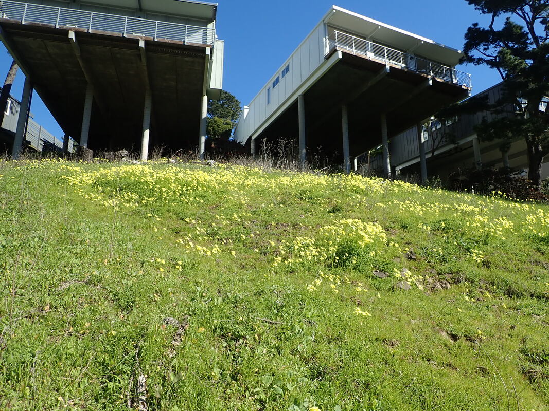
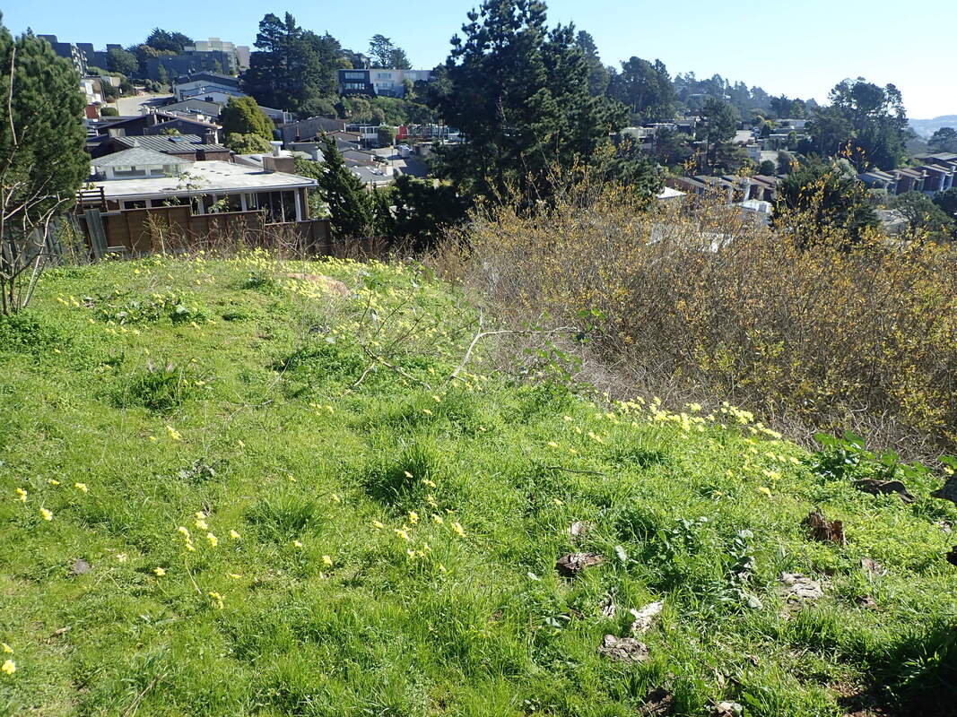
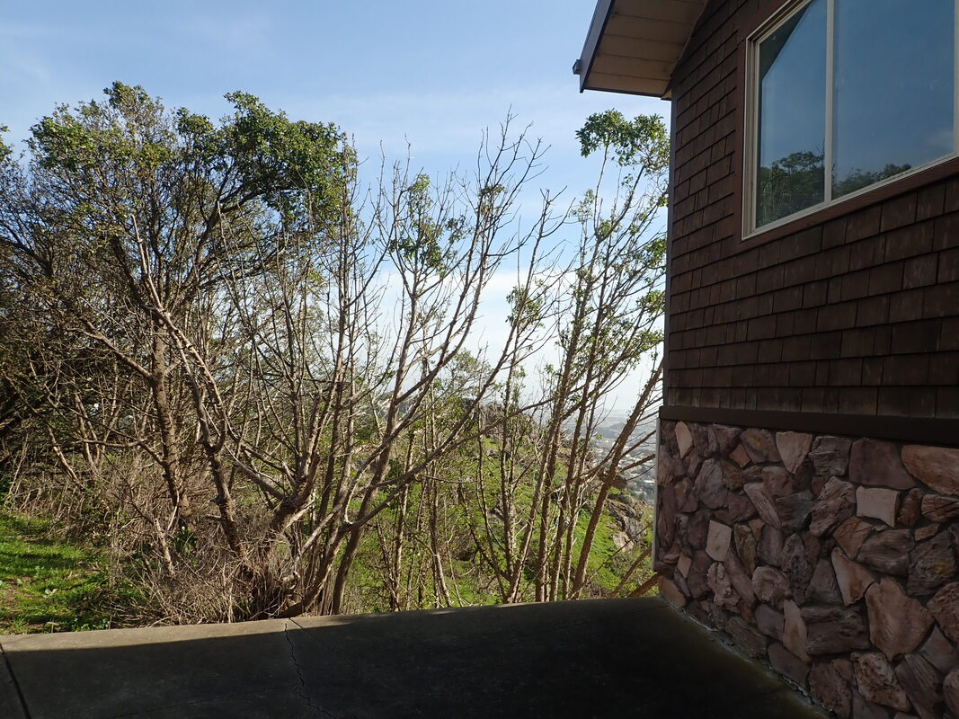
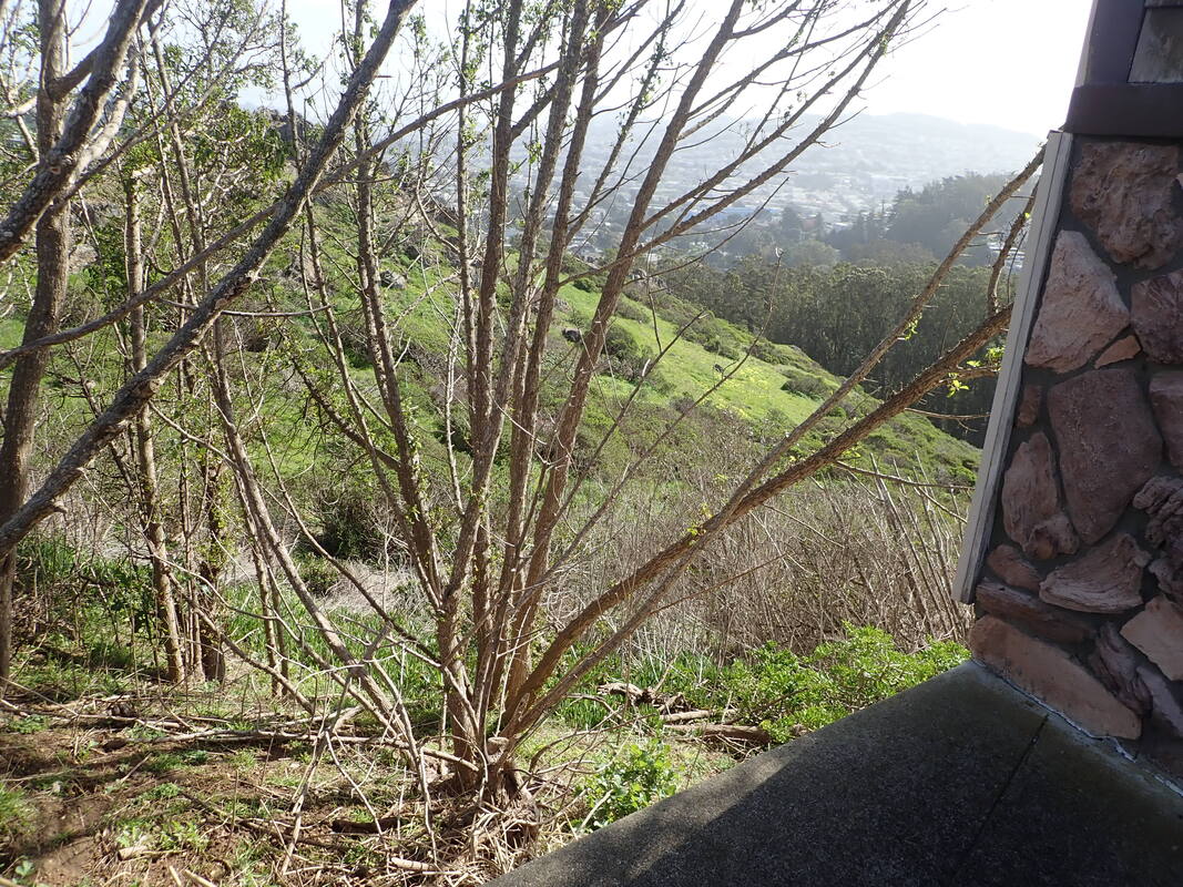
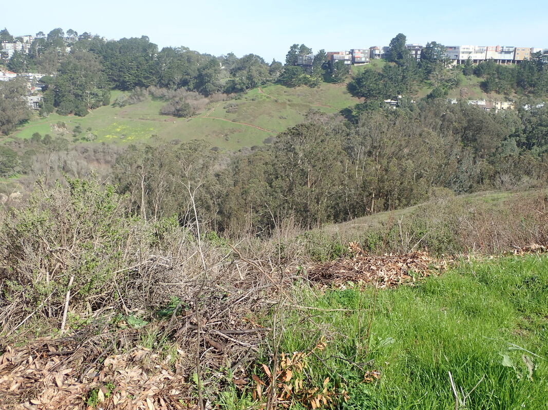
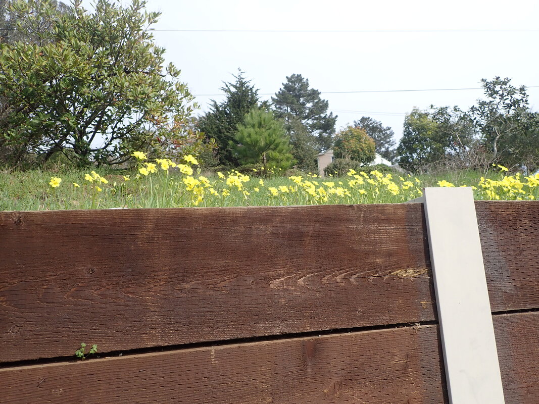
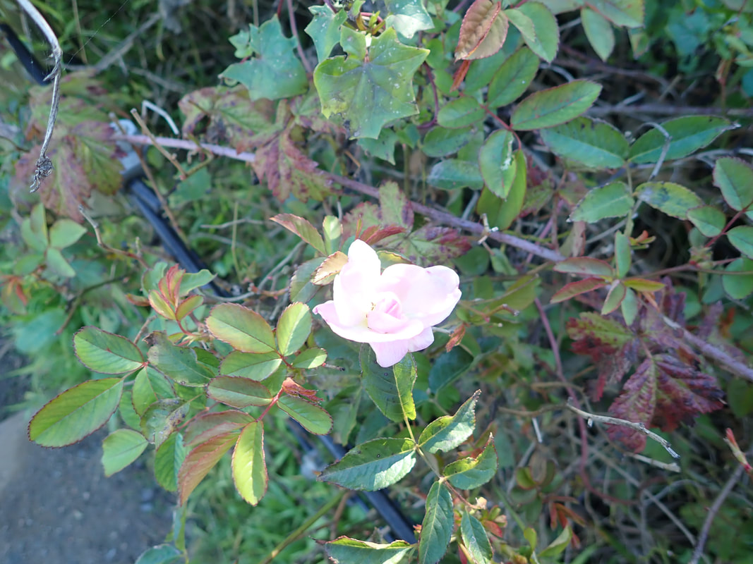
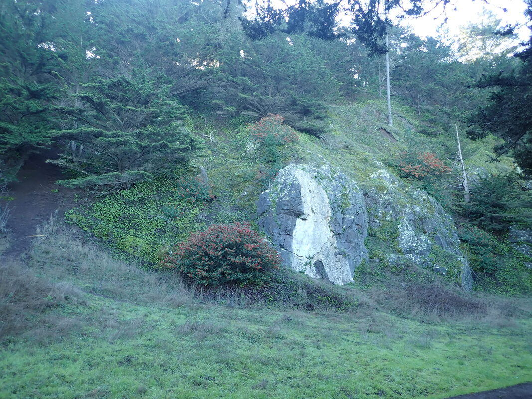
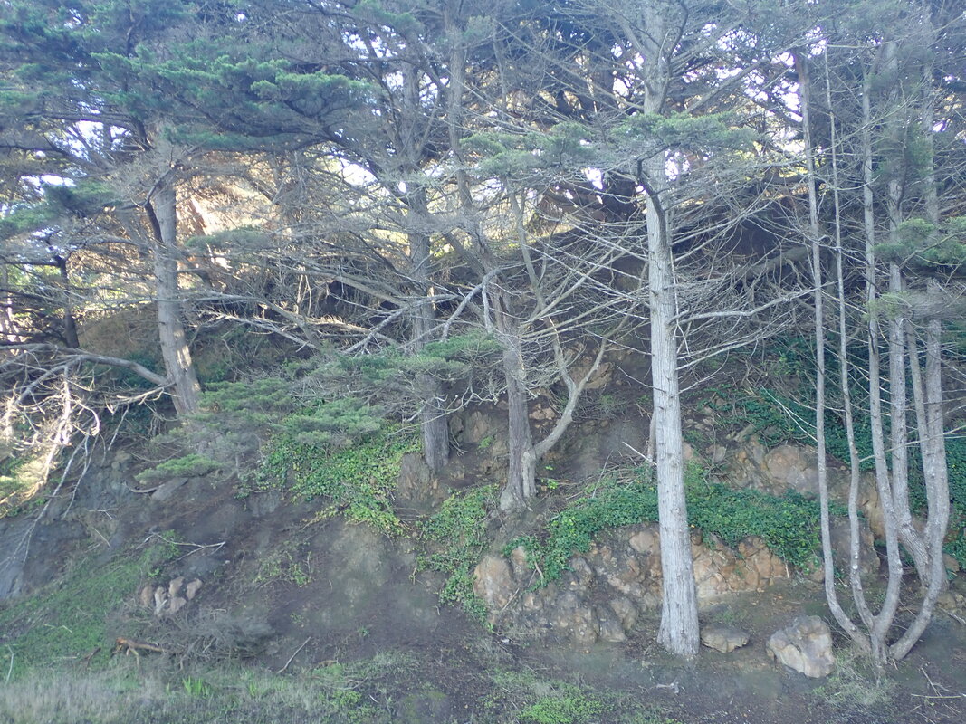
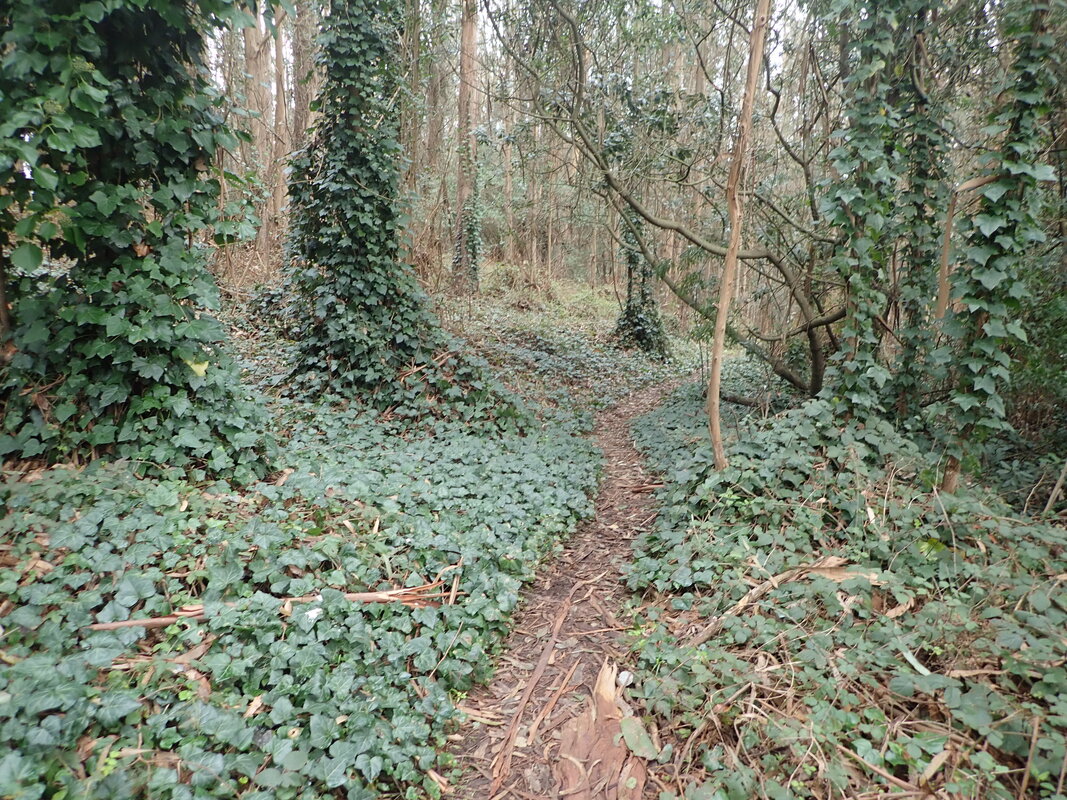
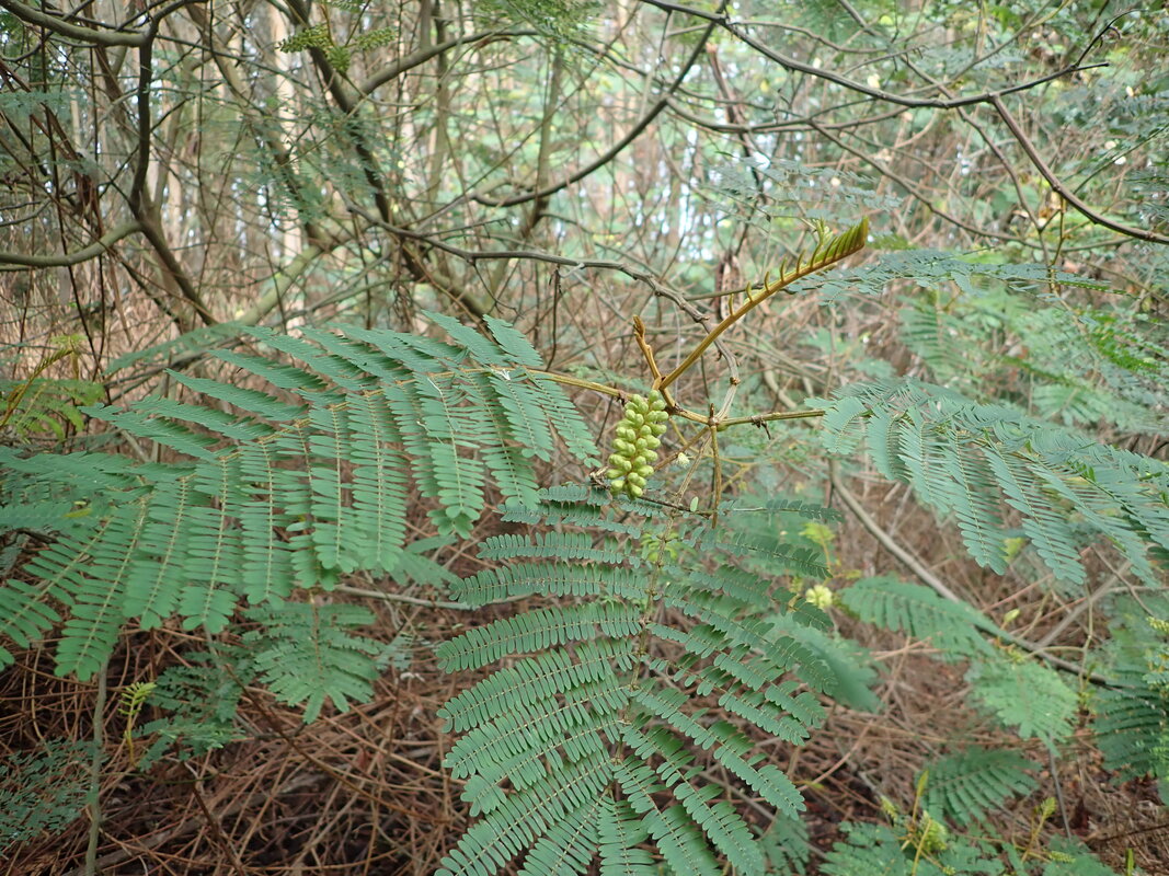
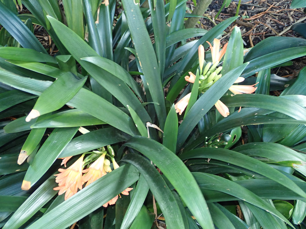
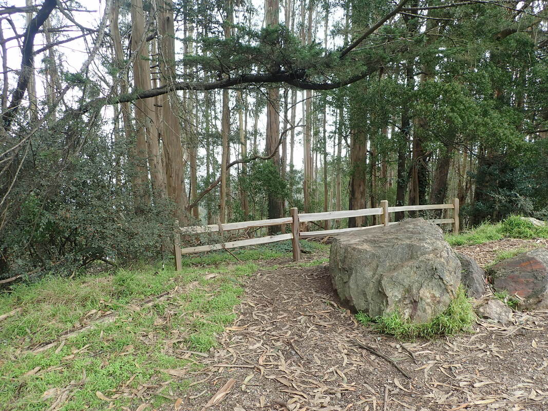
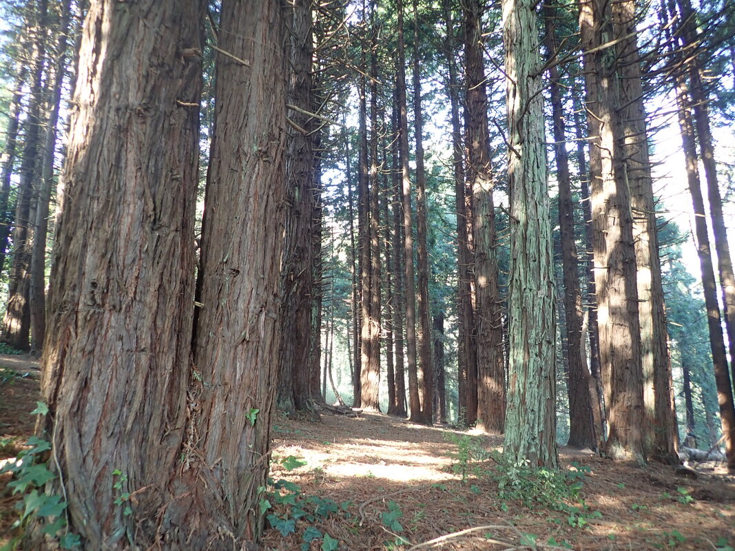
Up to a higher trail for a short distance. A favorite wildflower, yellow oxalis, is showing up: 36, 37, 38
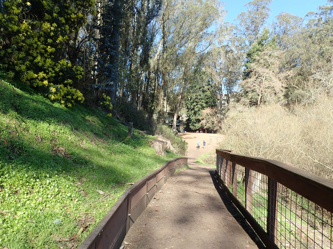
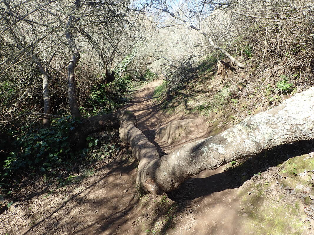
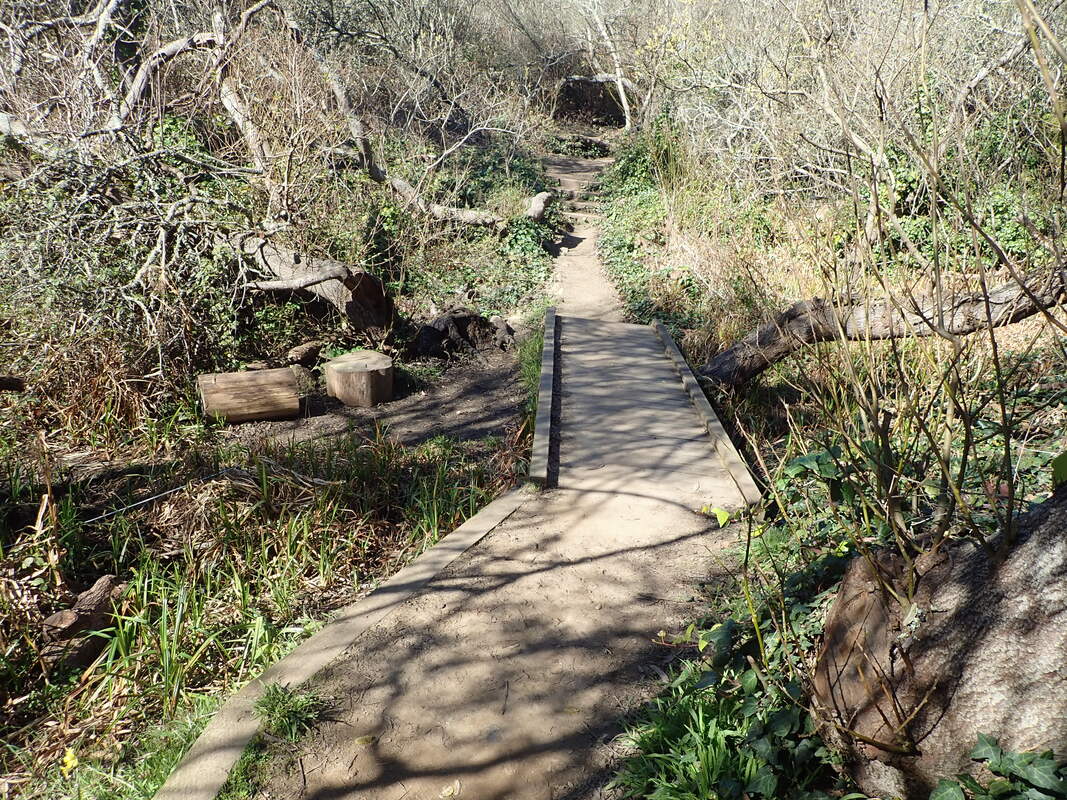
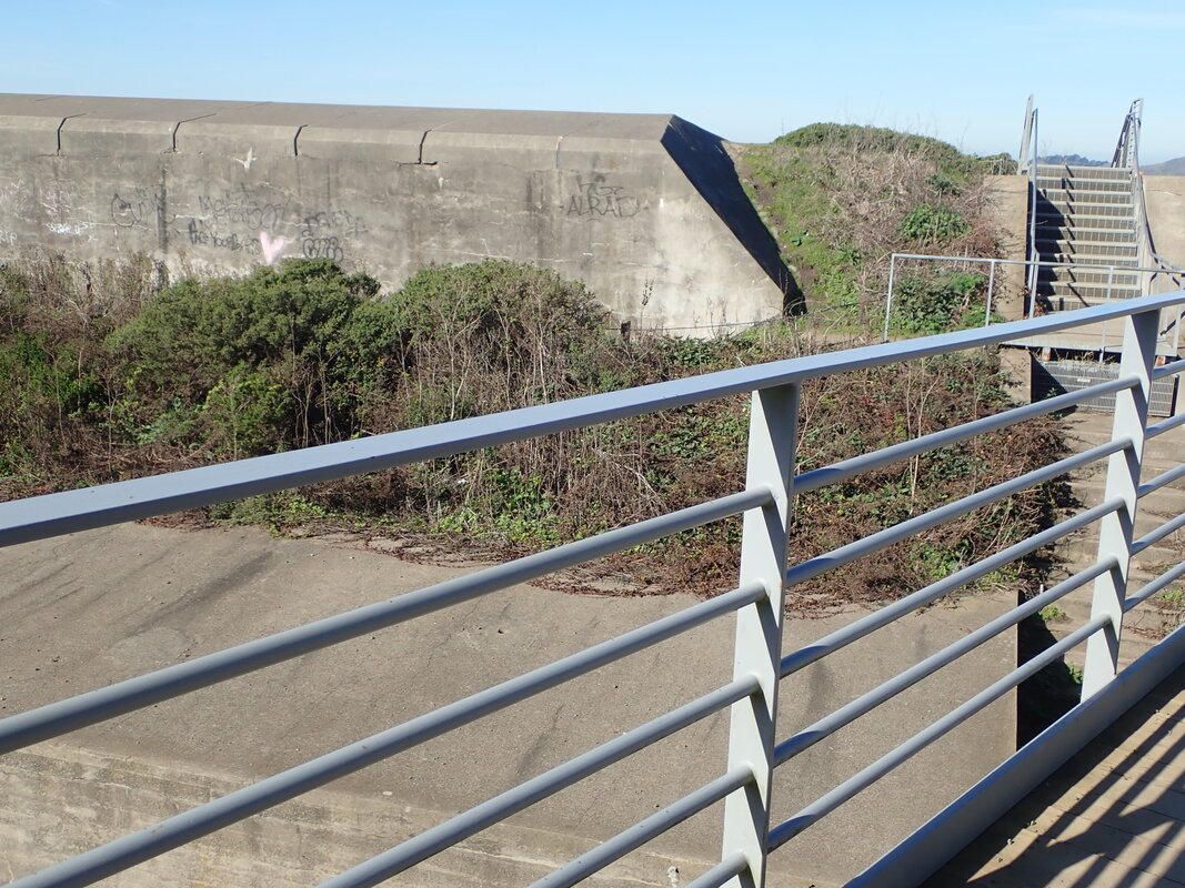
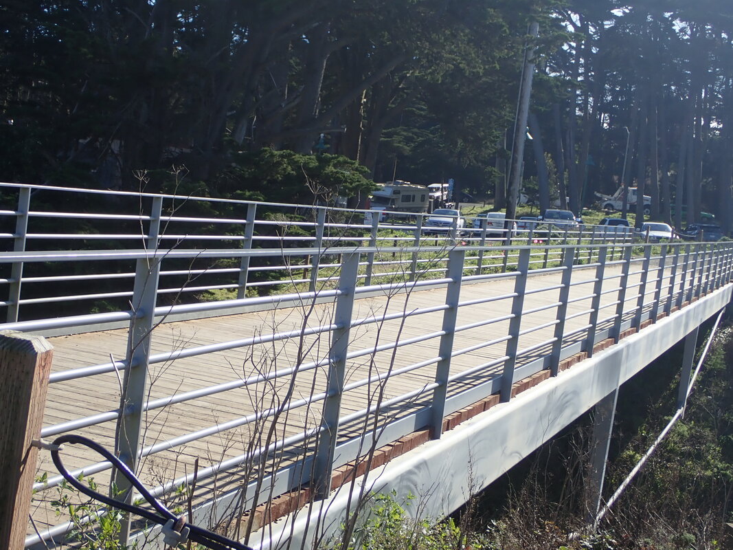
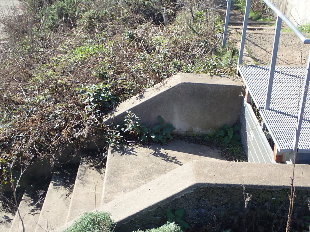
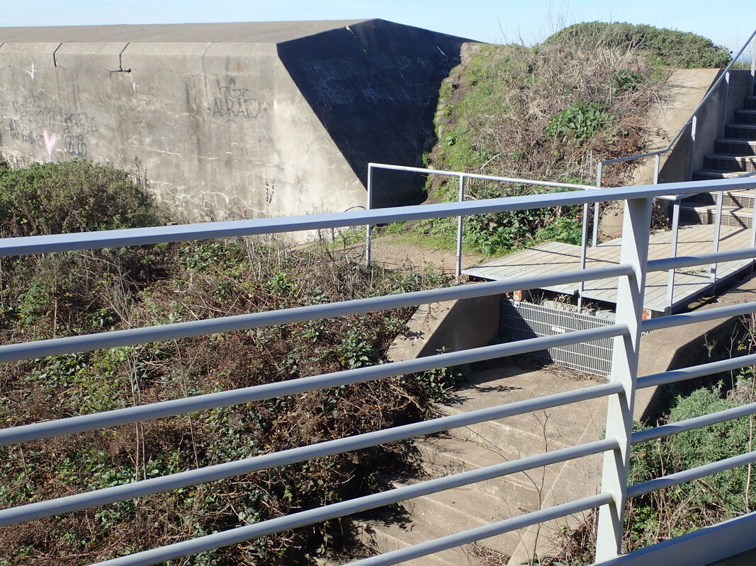
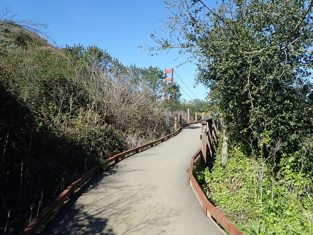
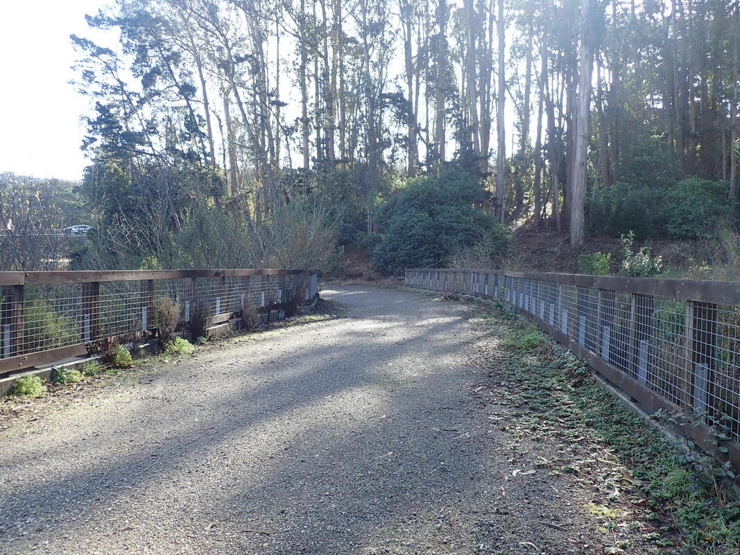
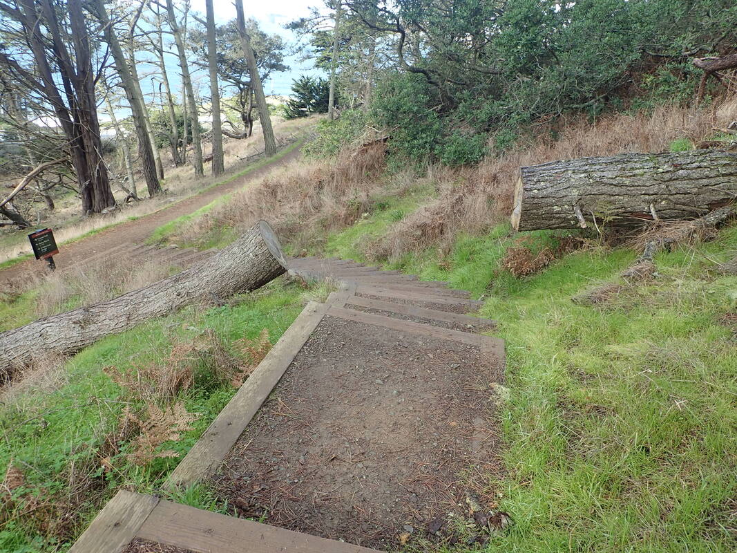
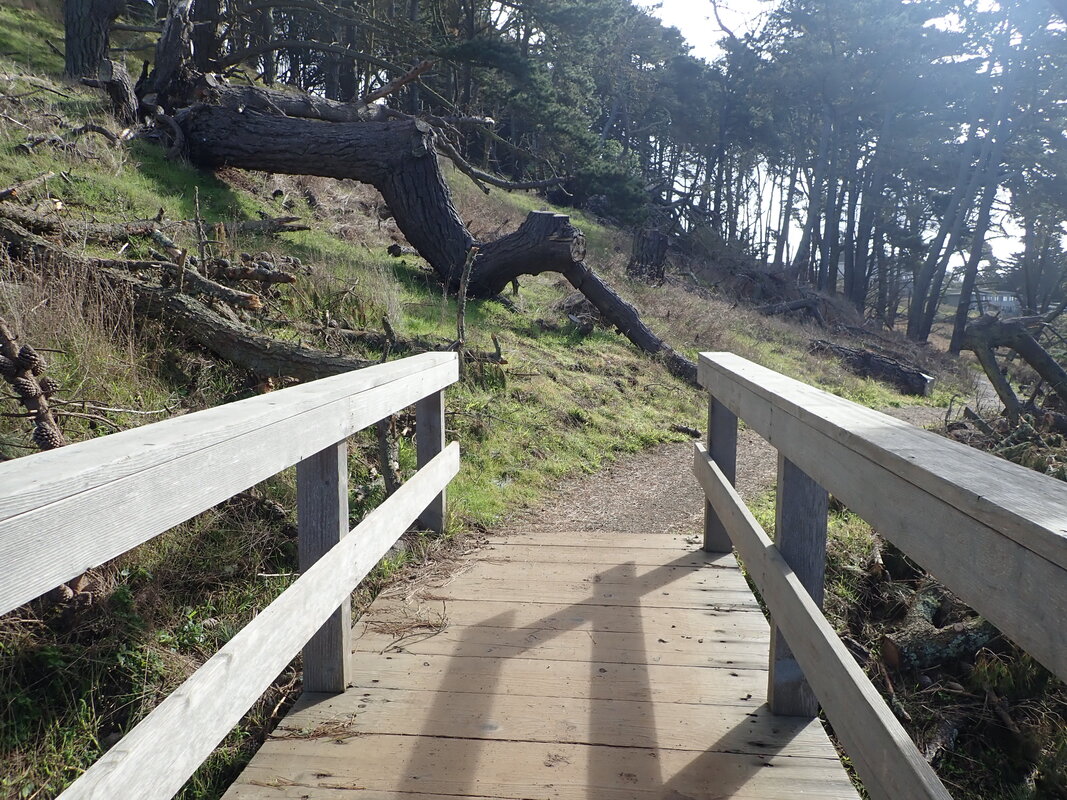
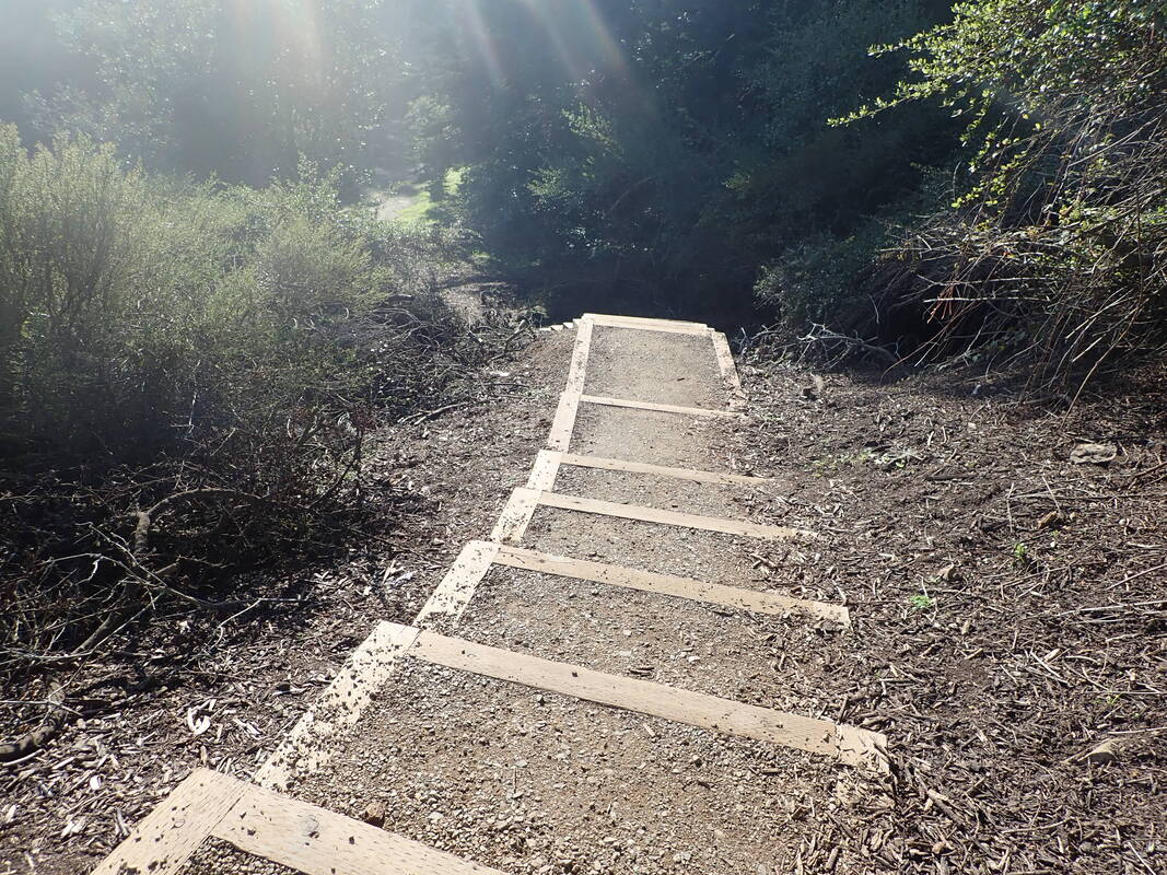
Back down, crossing the footbridge over Islais Creek: 39
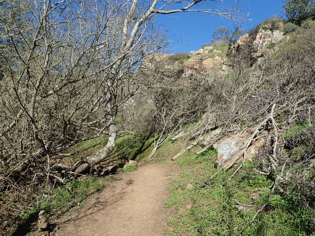
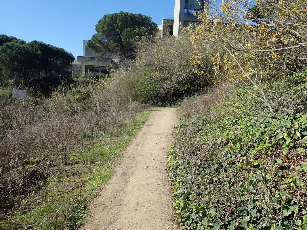
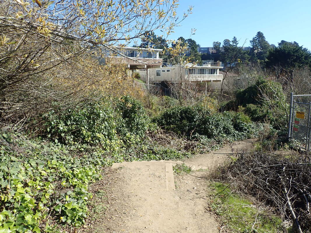
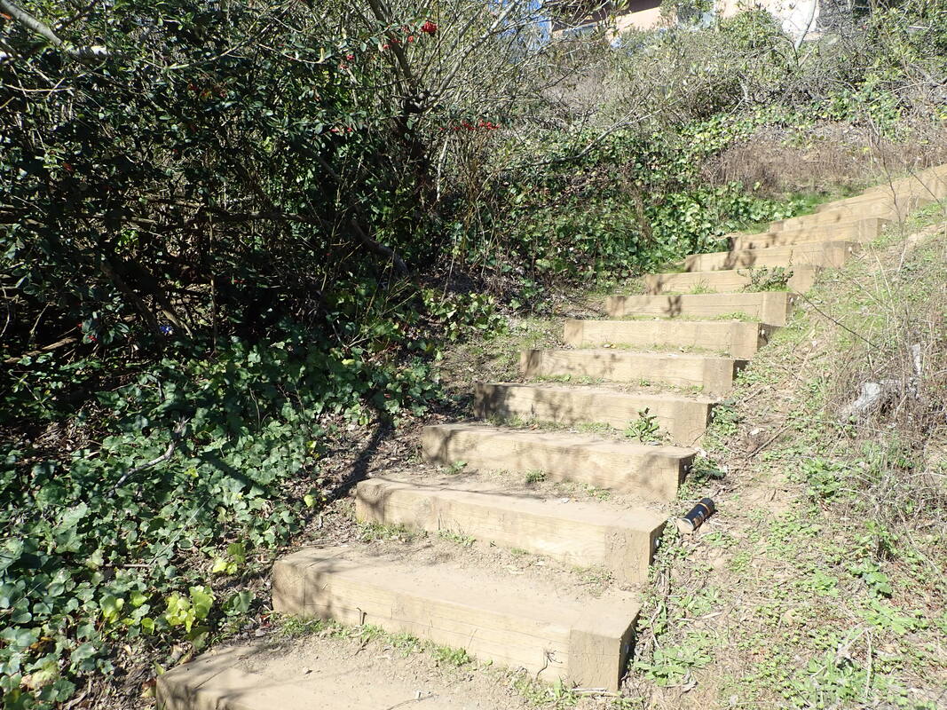
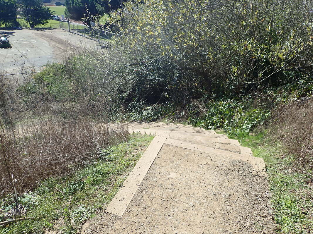
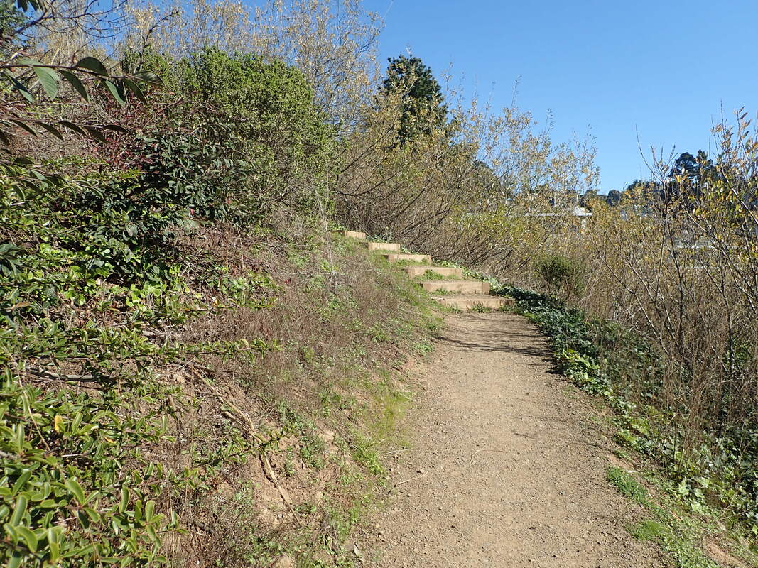
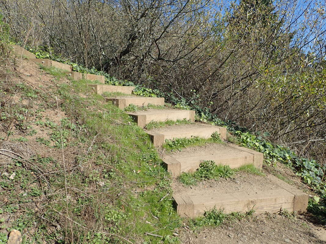
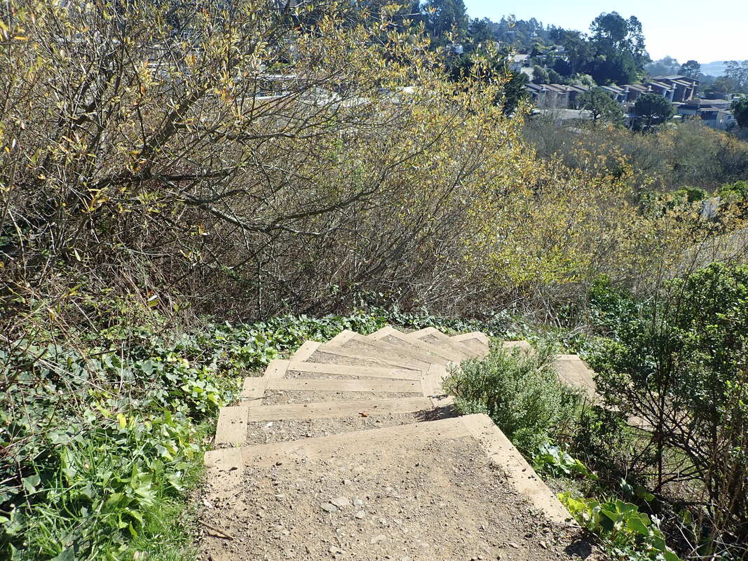
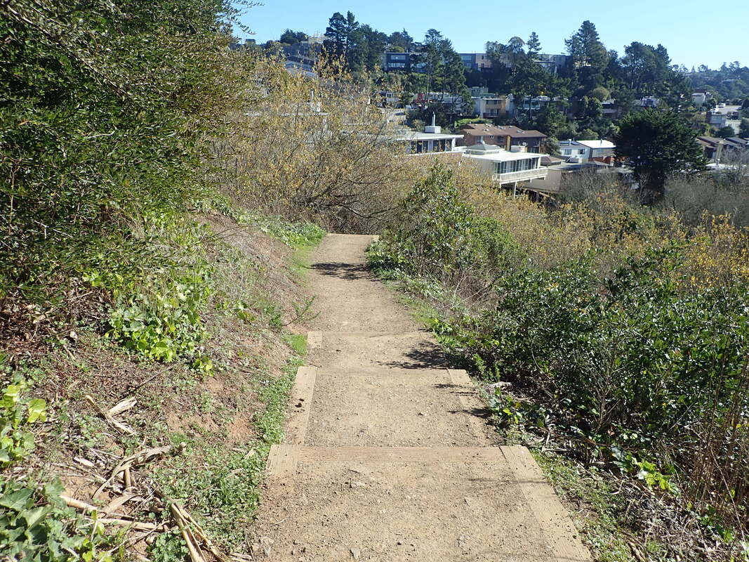
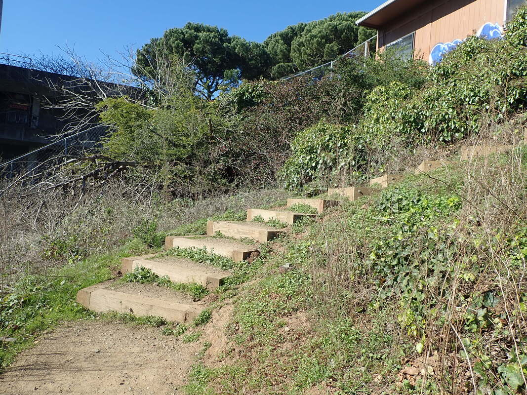
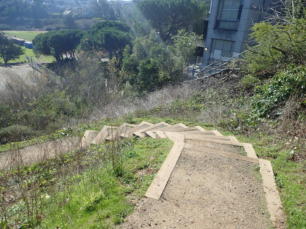
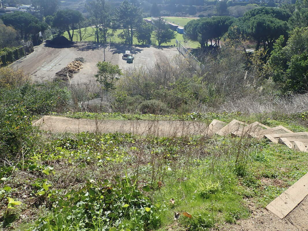
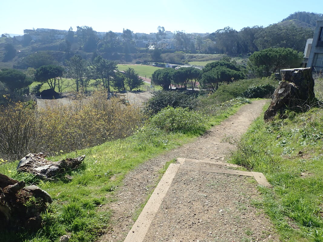
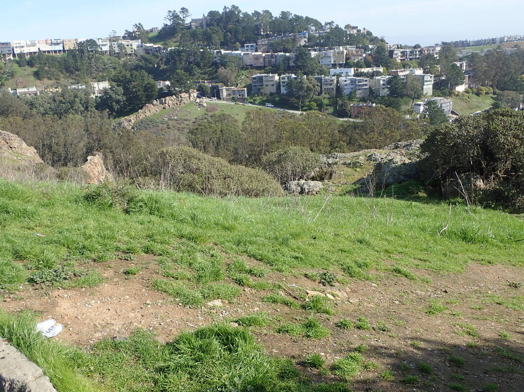
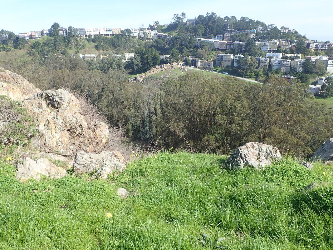
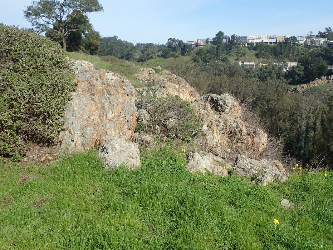
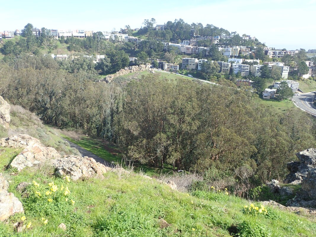
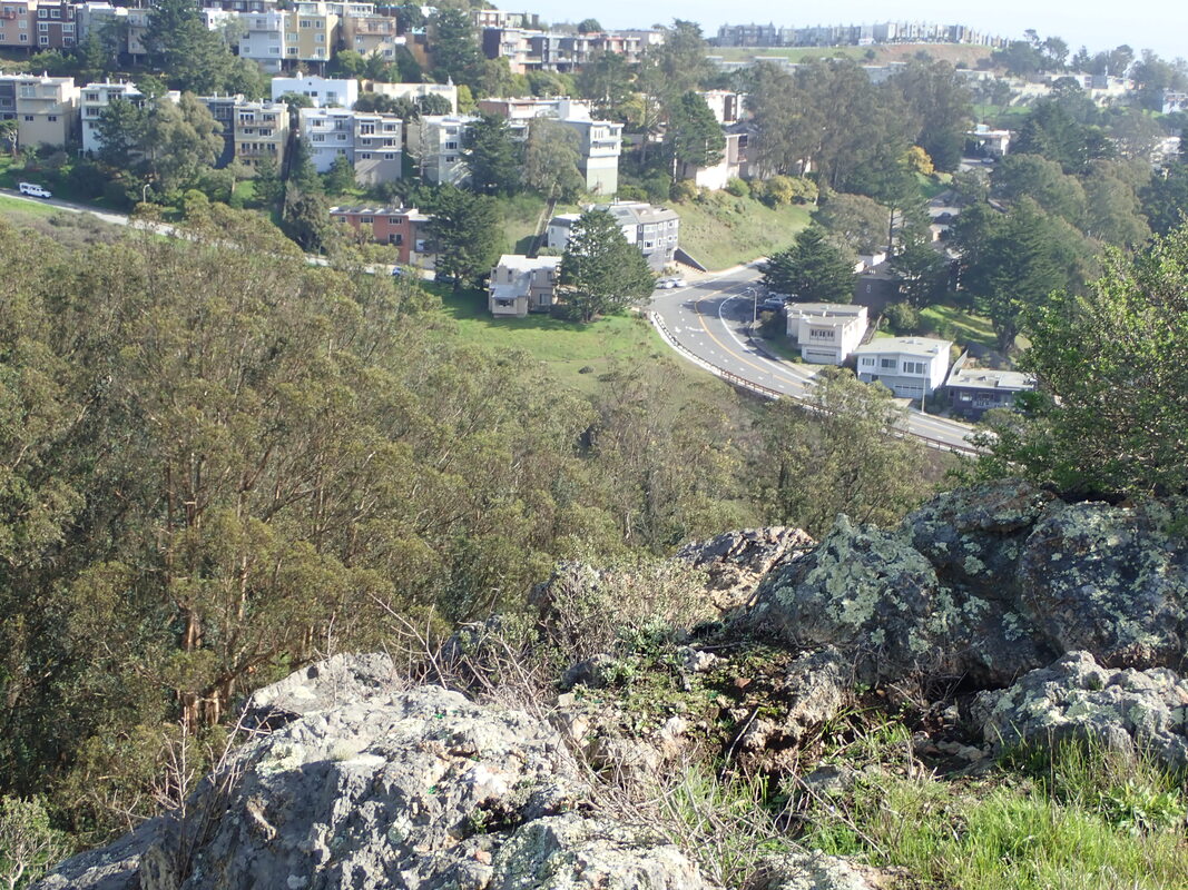
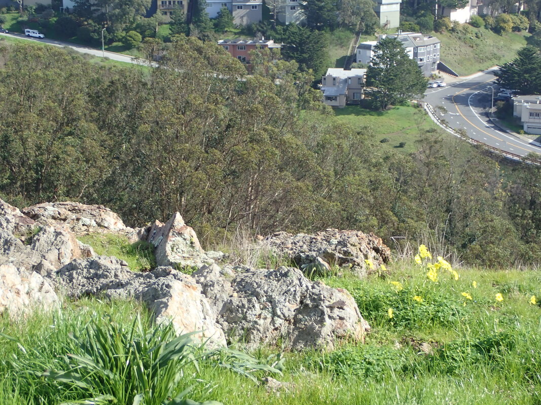
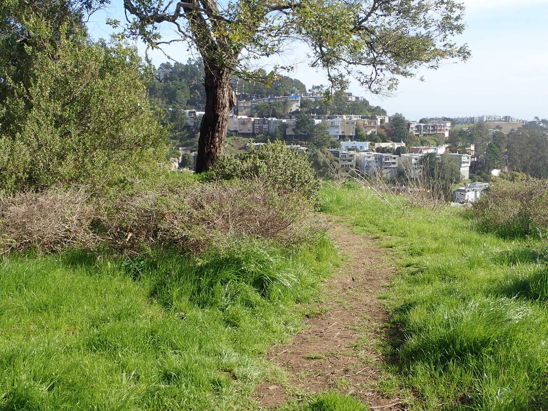
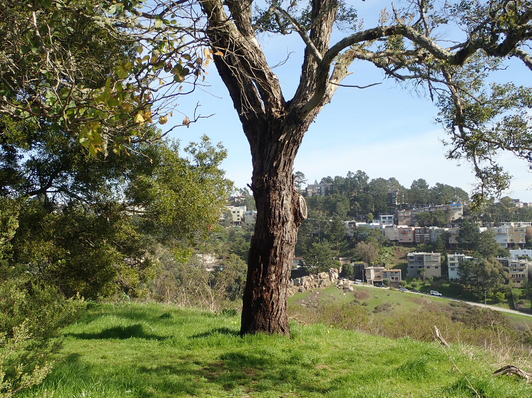
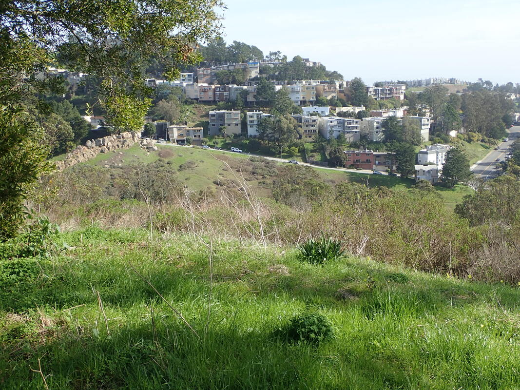
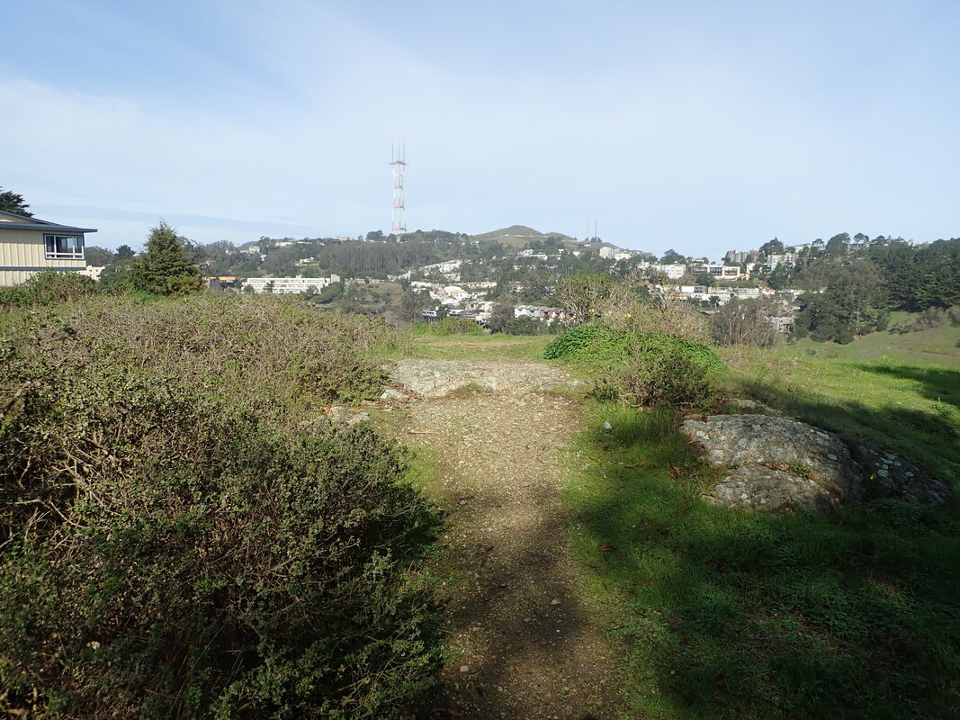
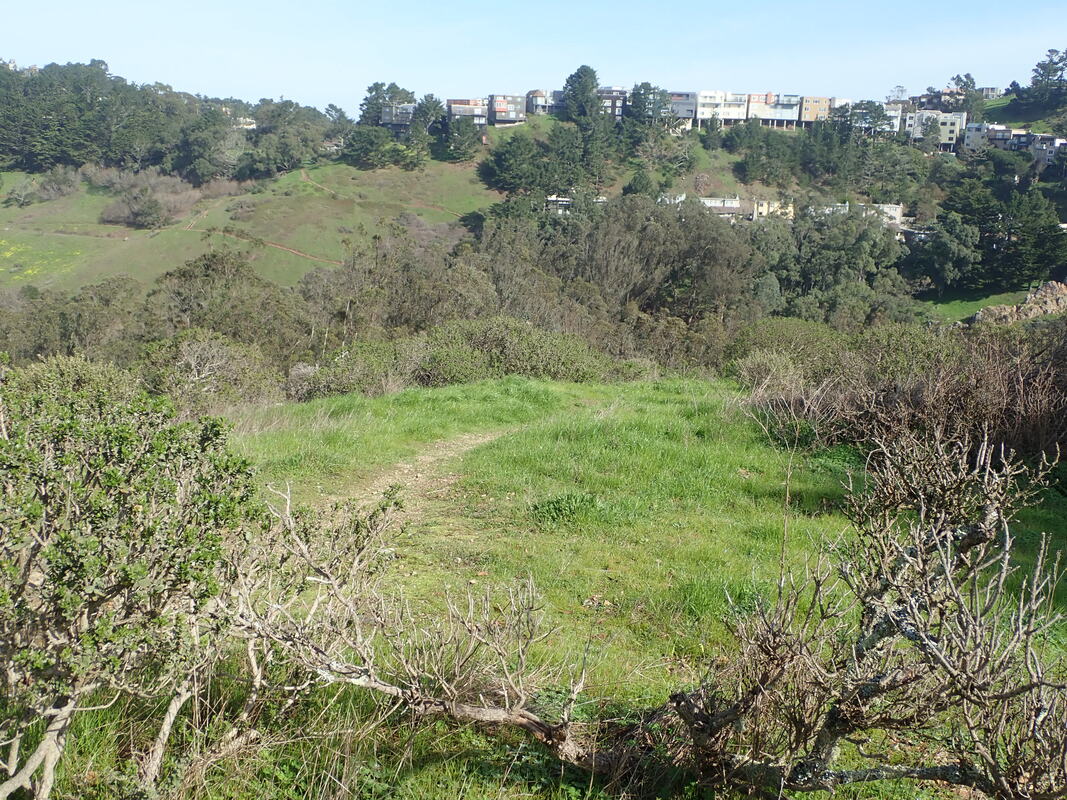
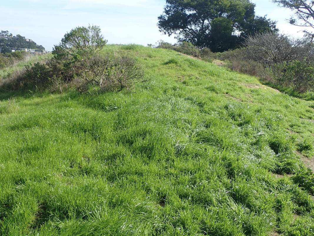
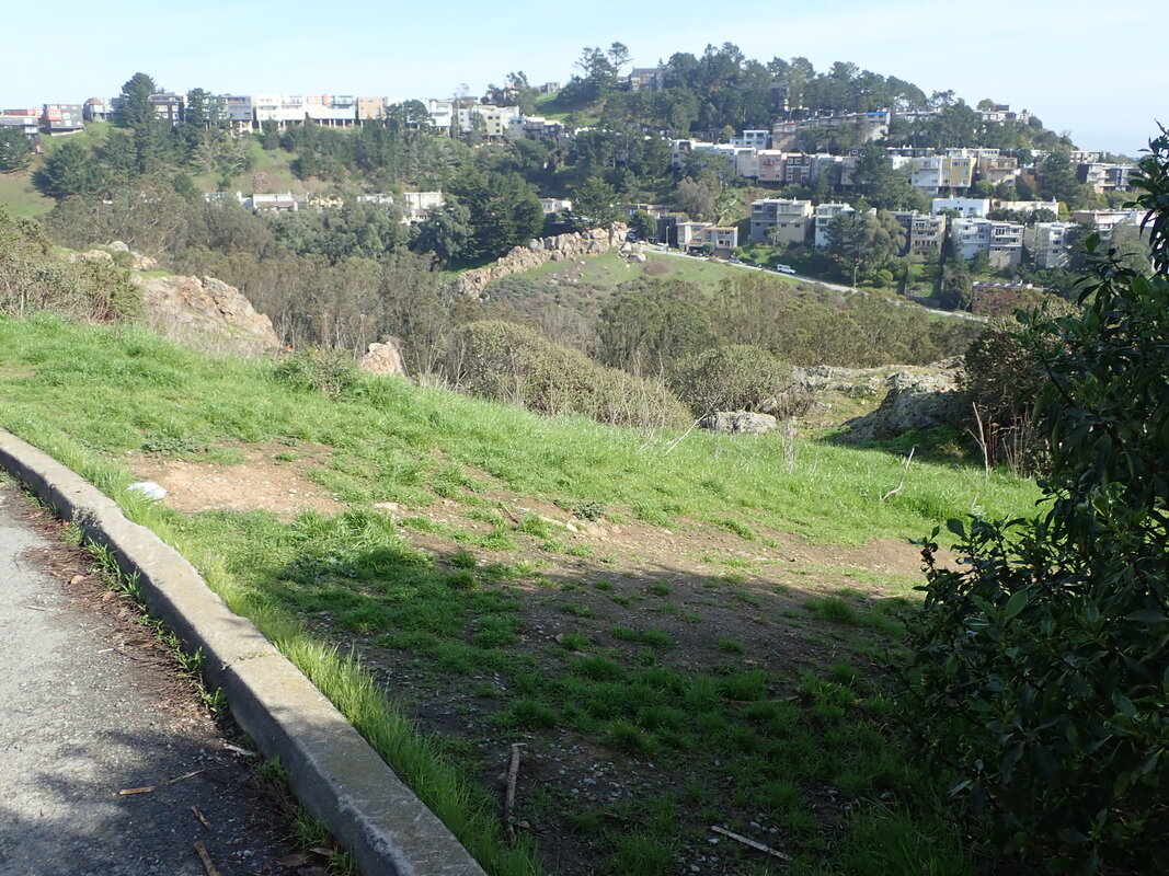
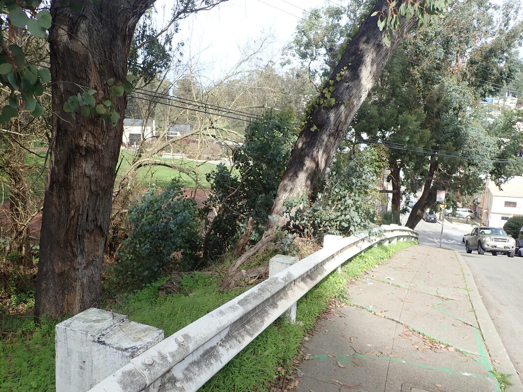
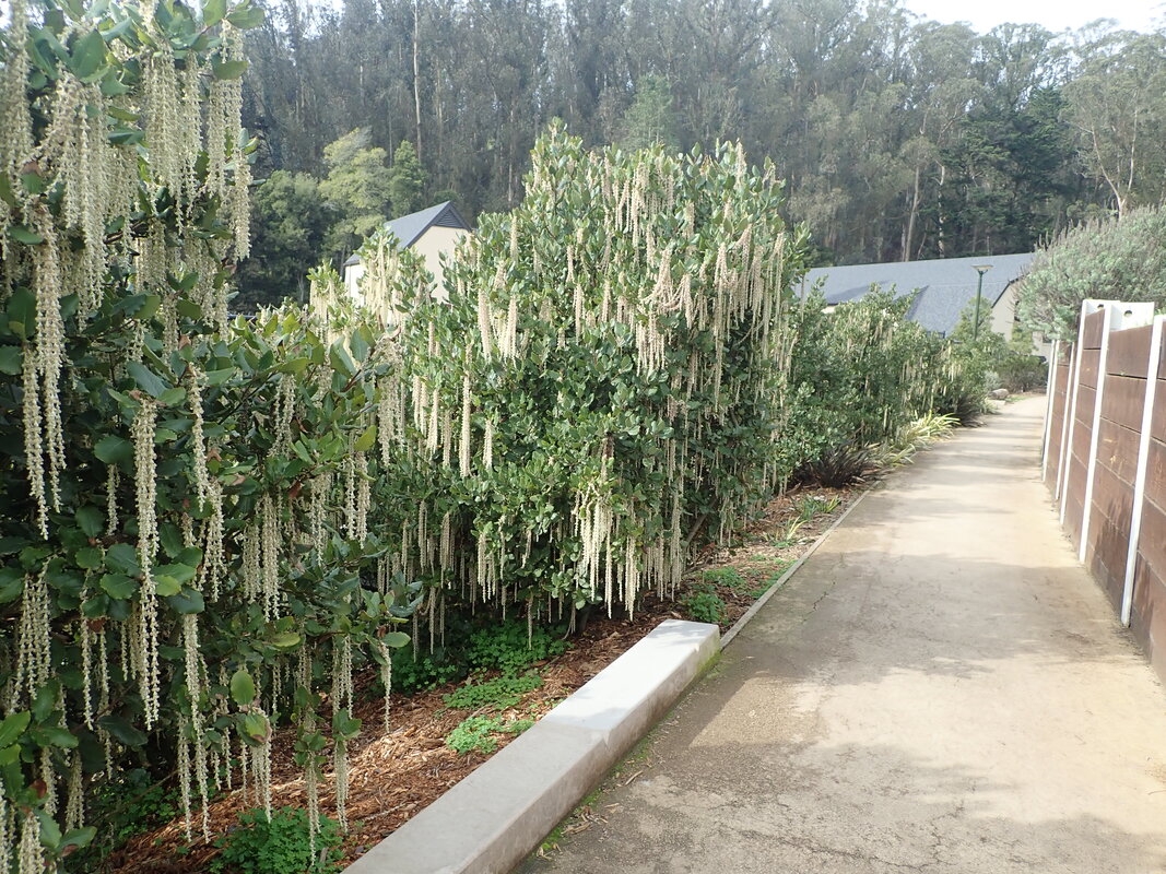
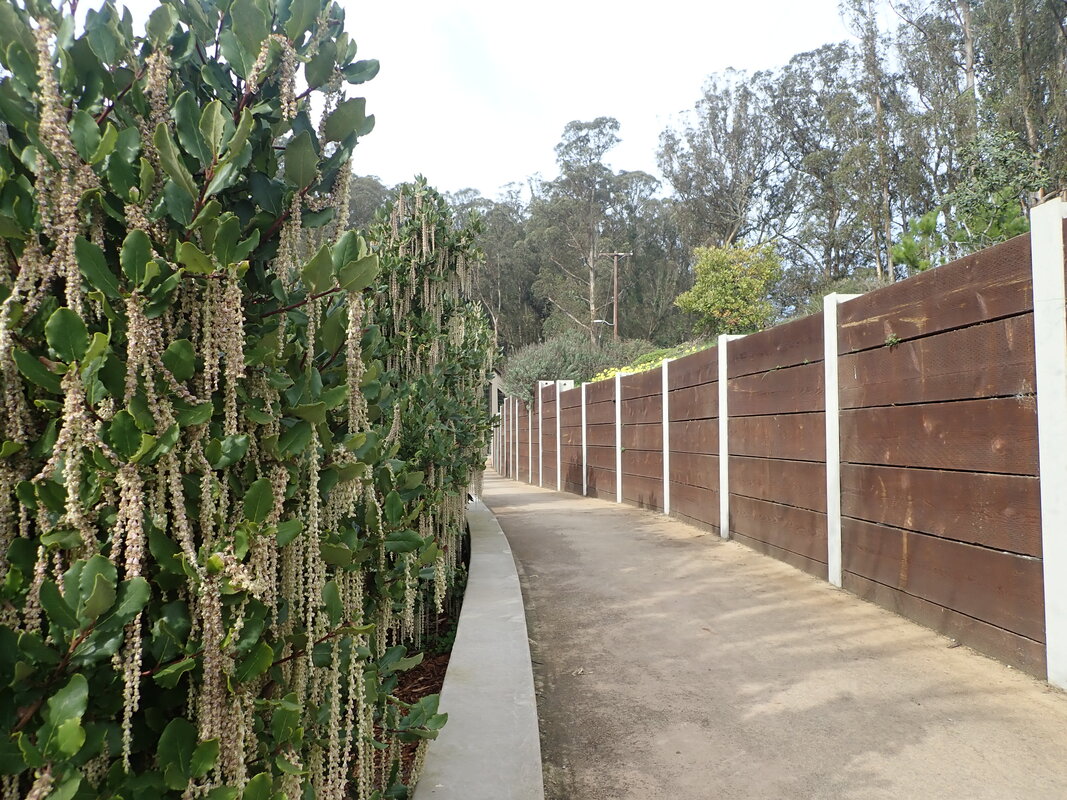
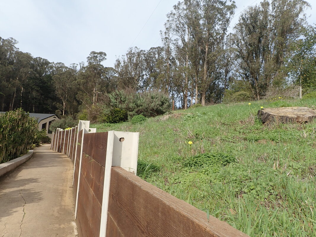
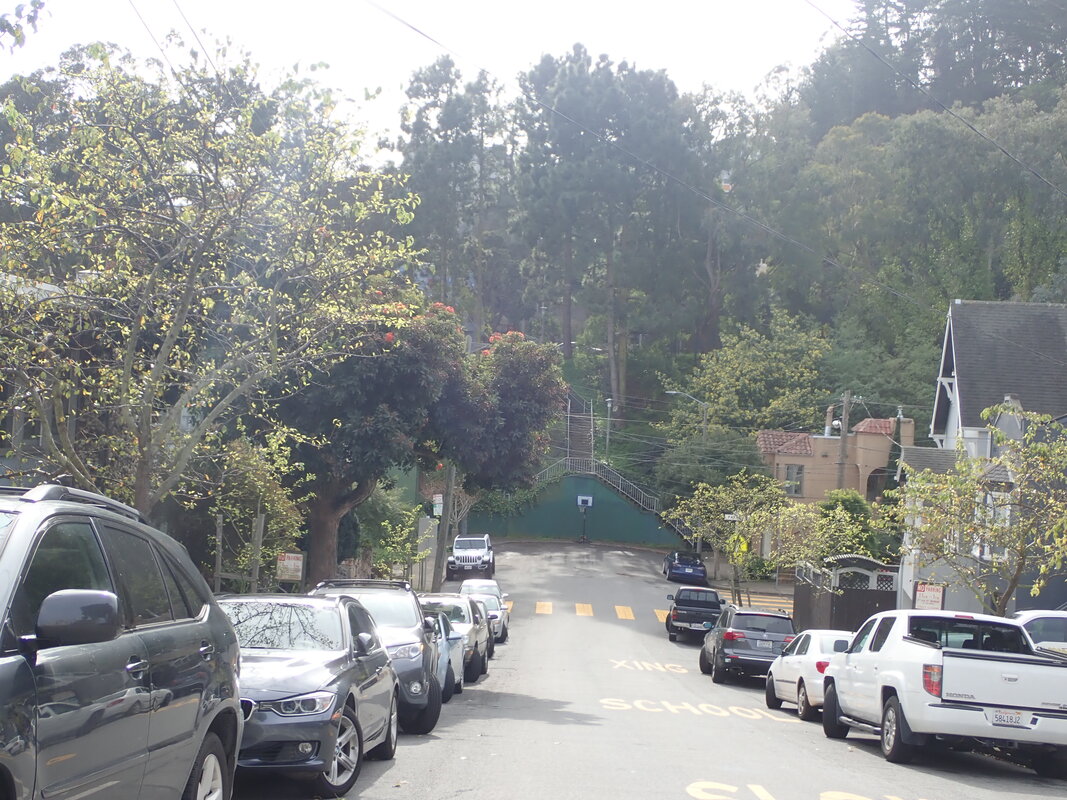
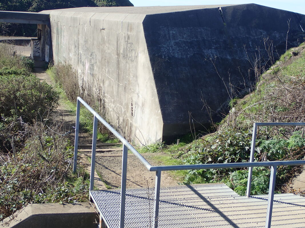
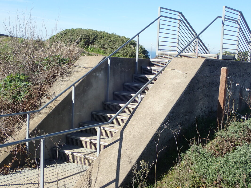
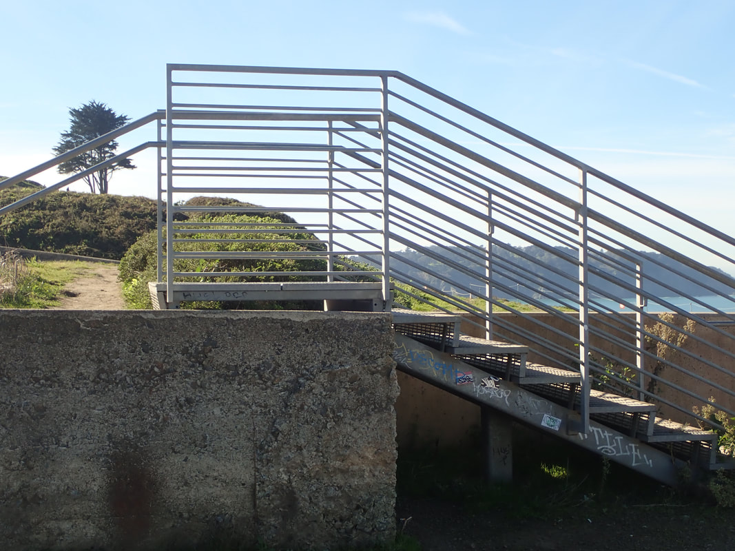
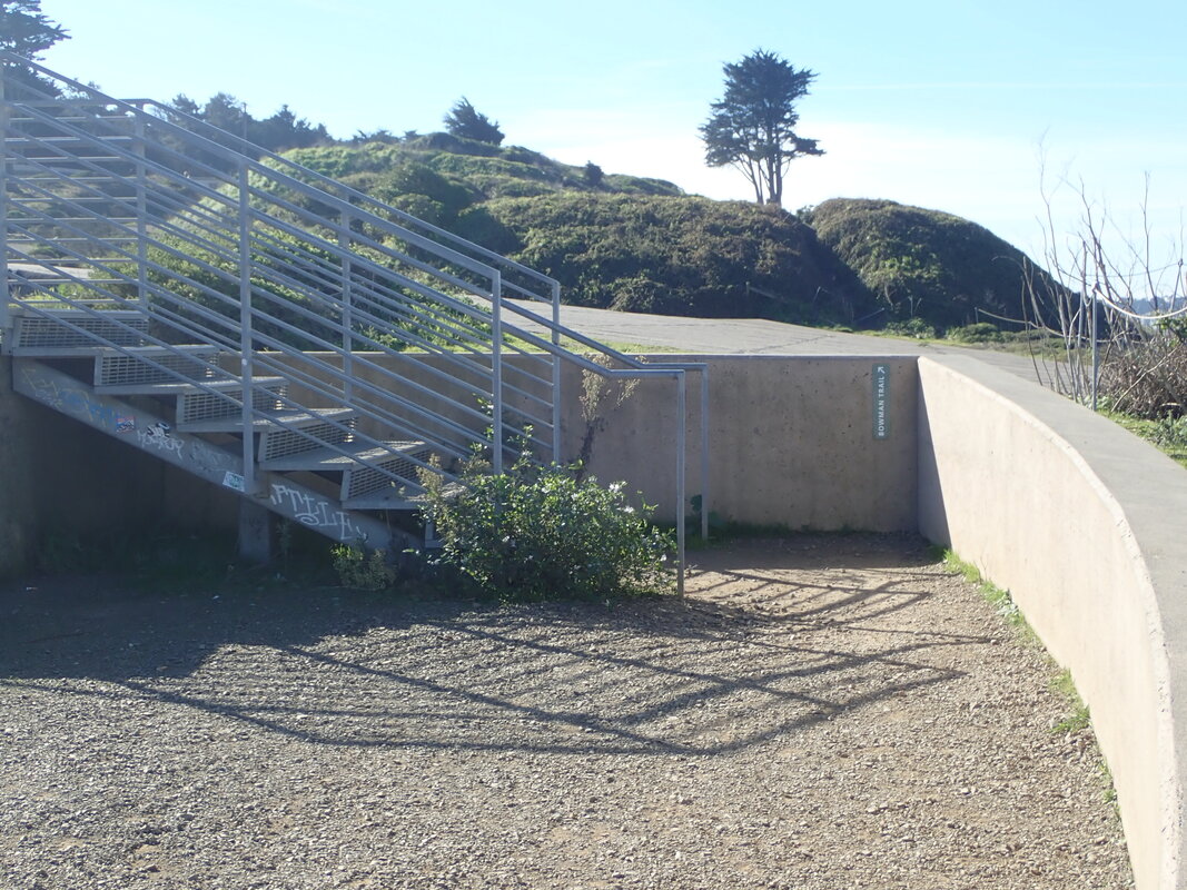
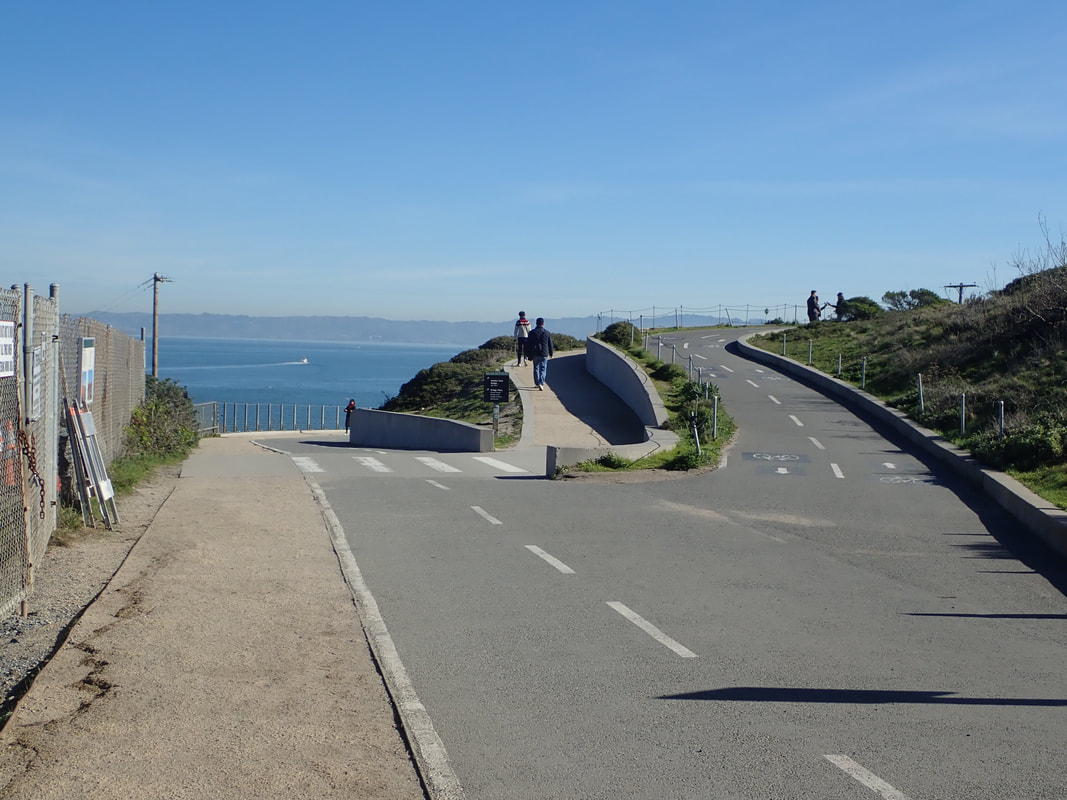
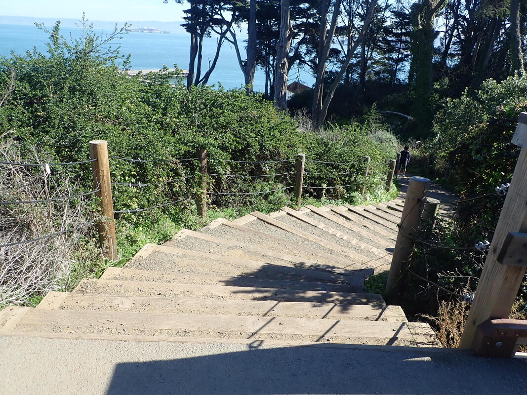
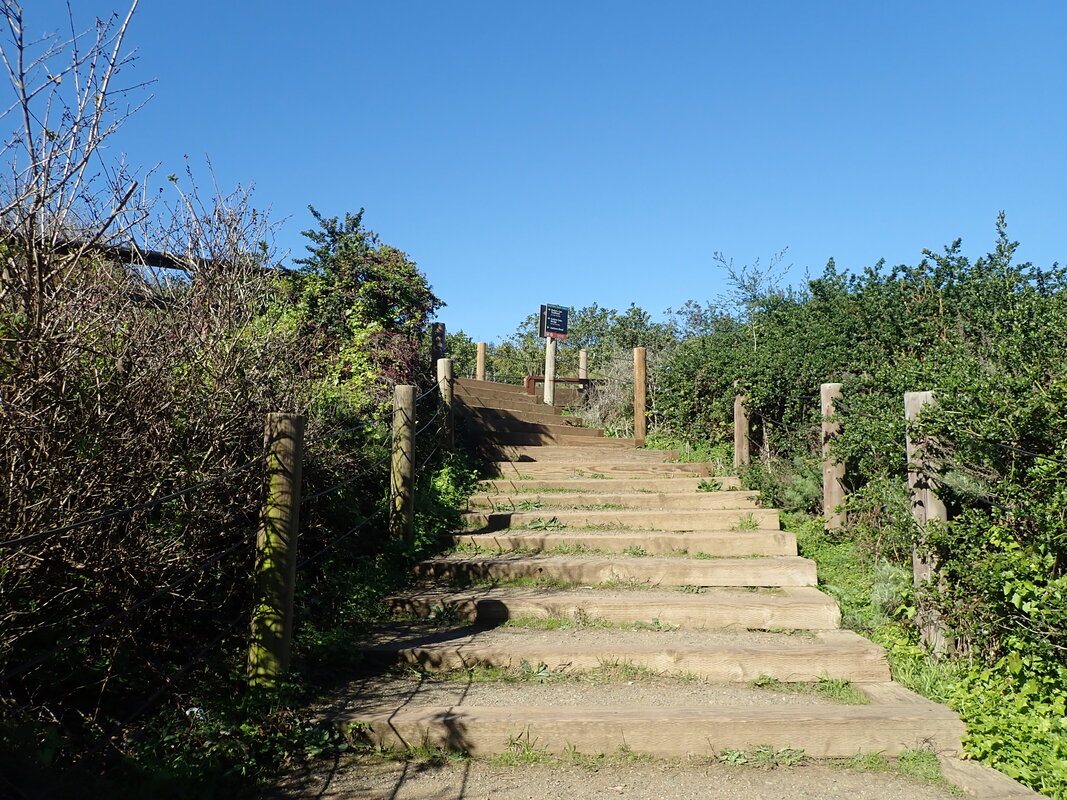
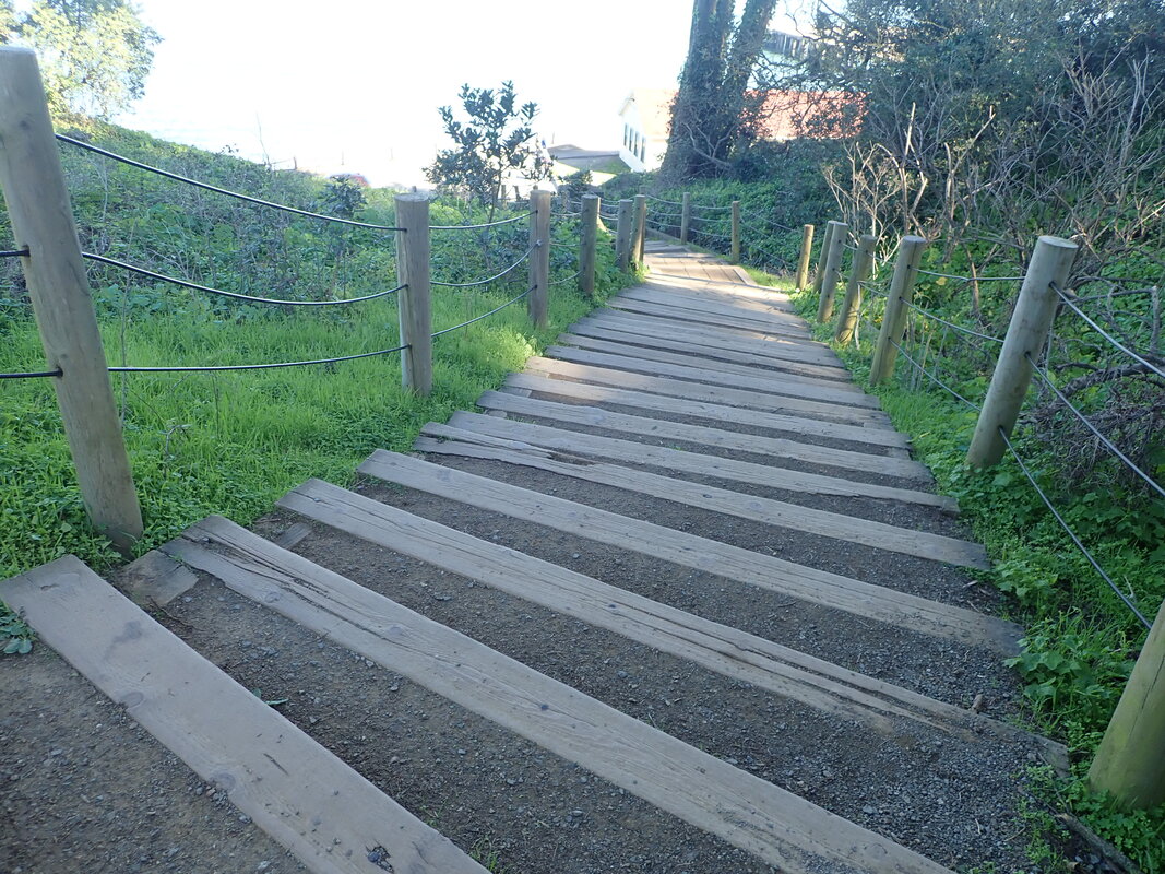
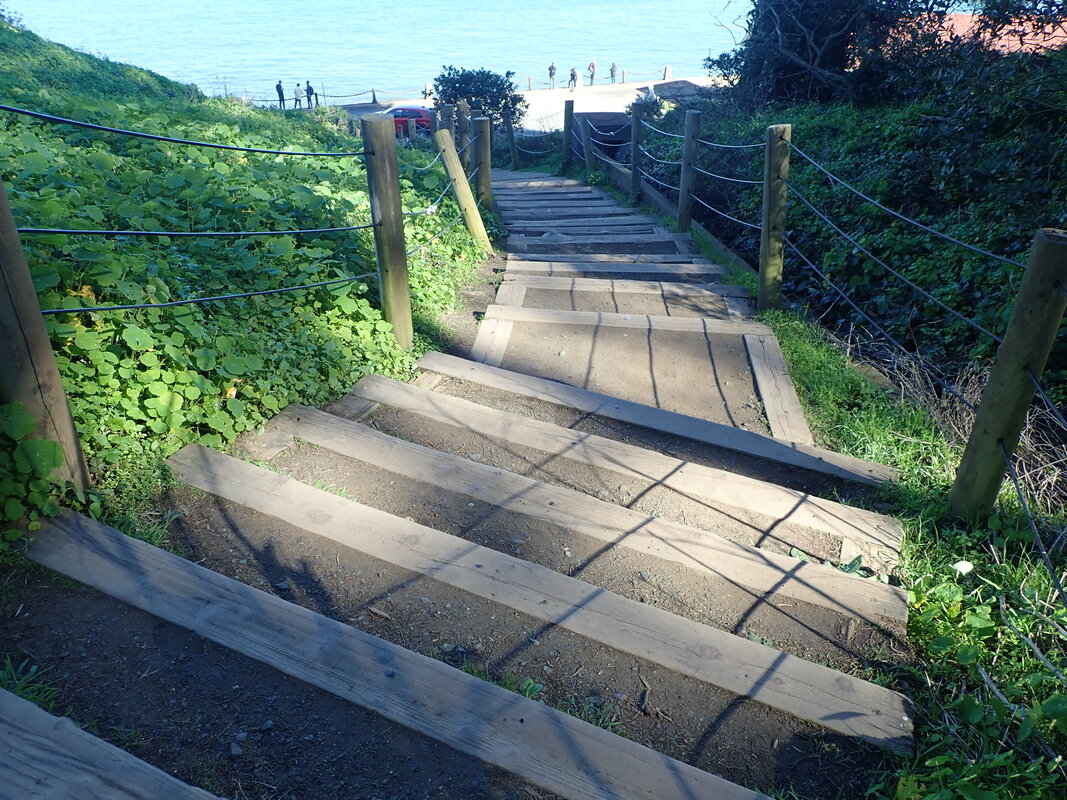
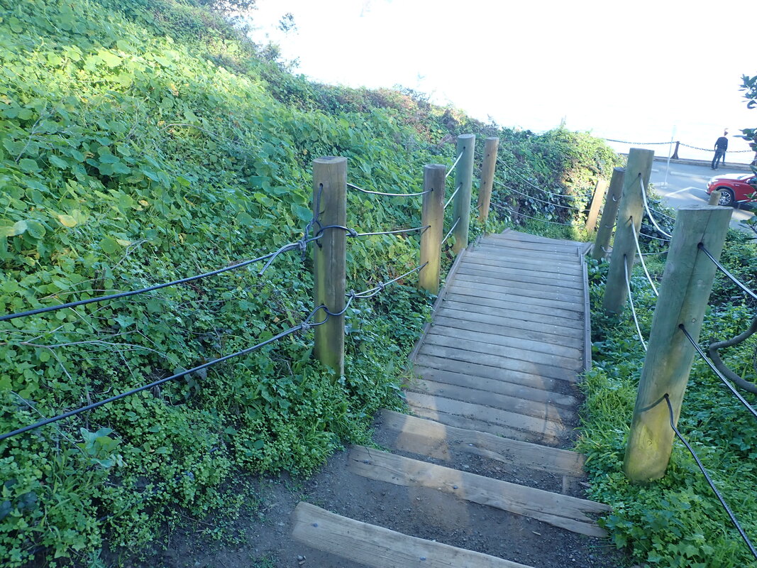
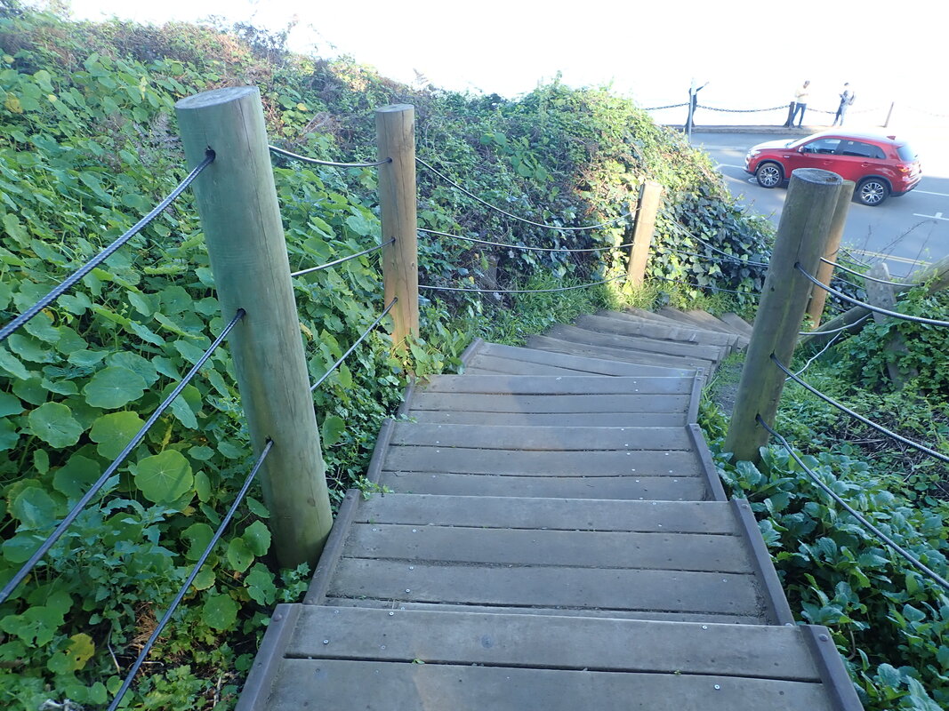
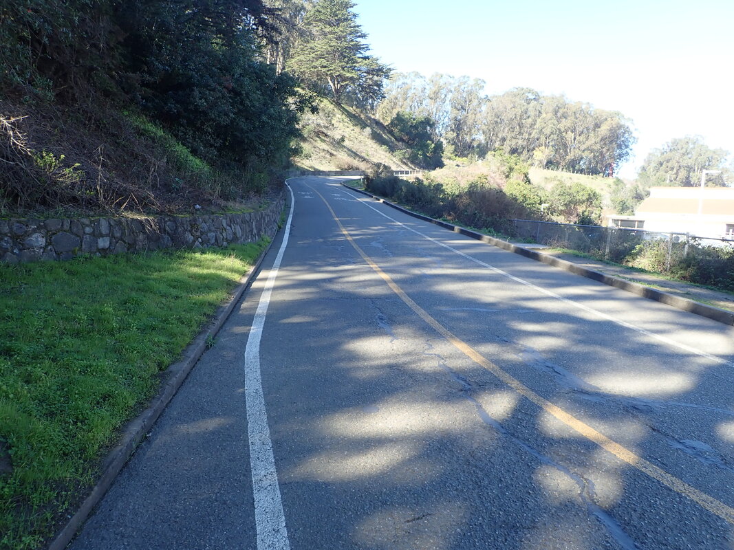
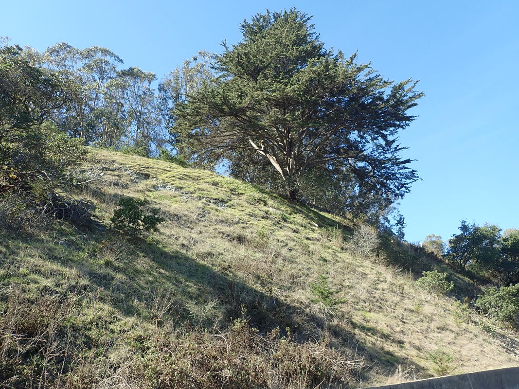
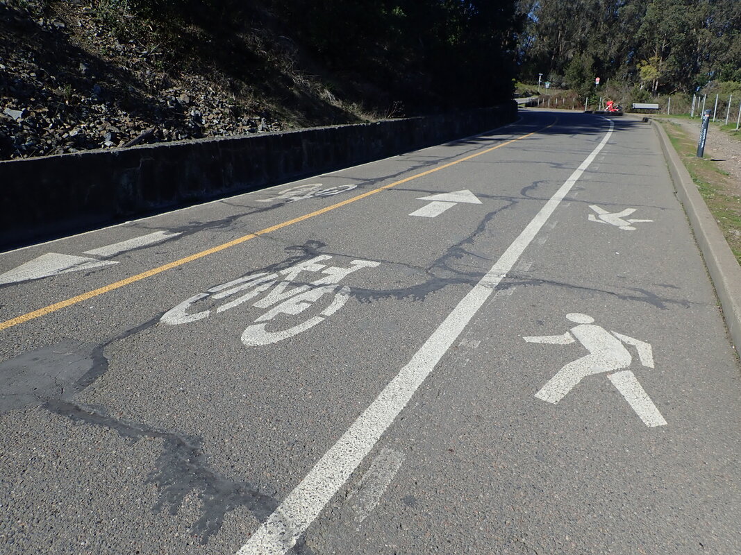
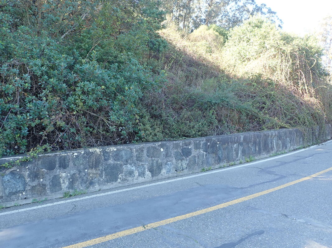
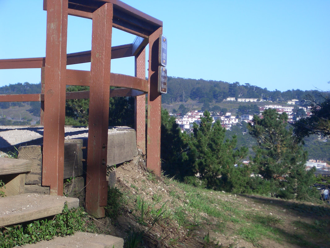
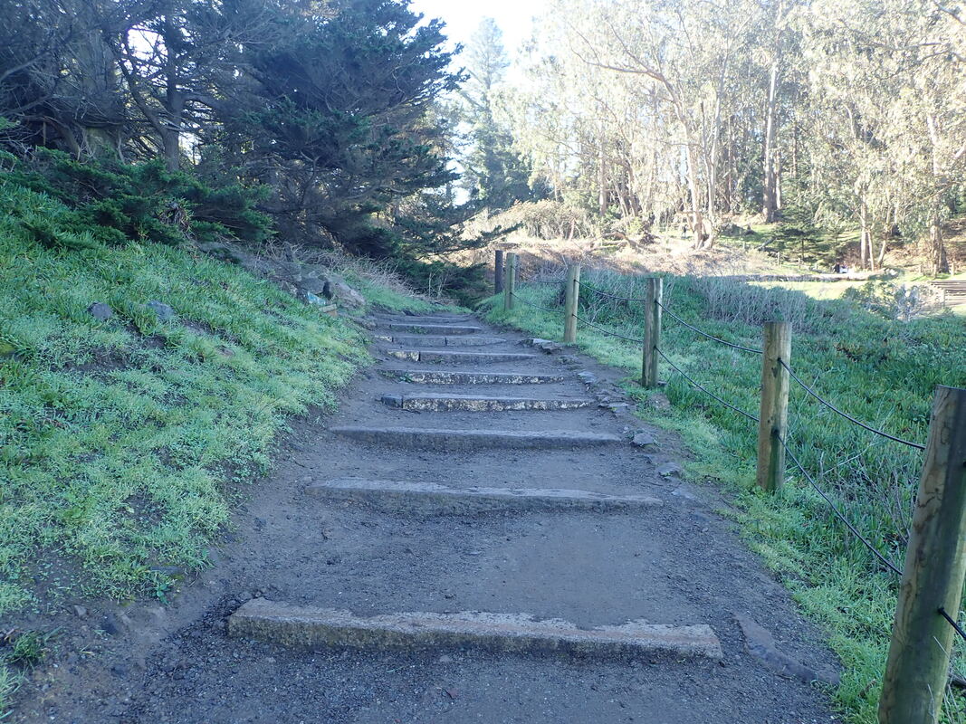
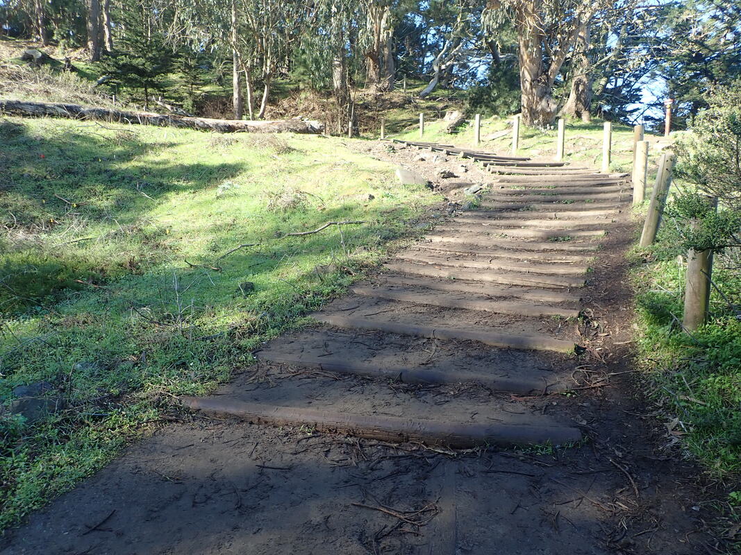
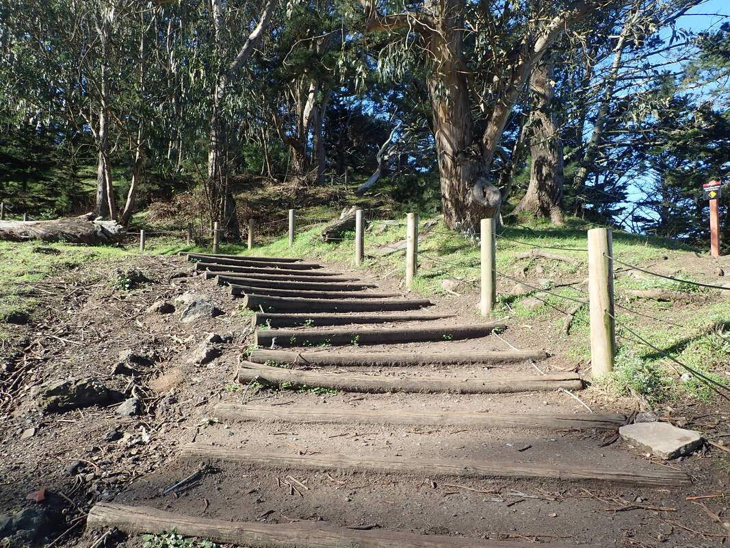
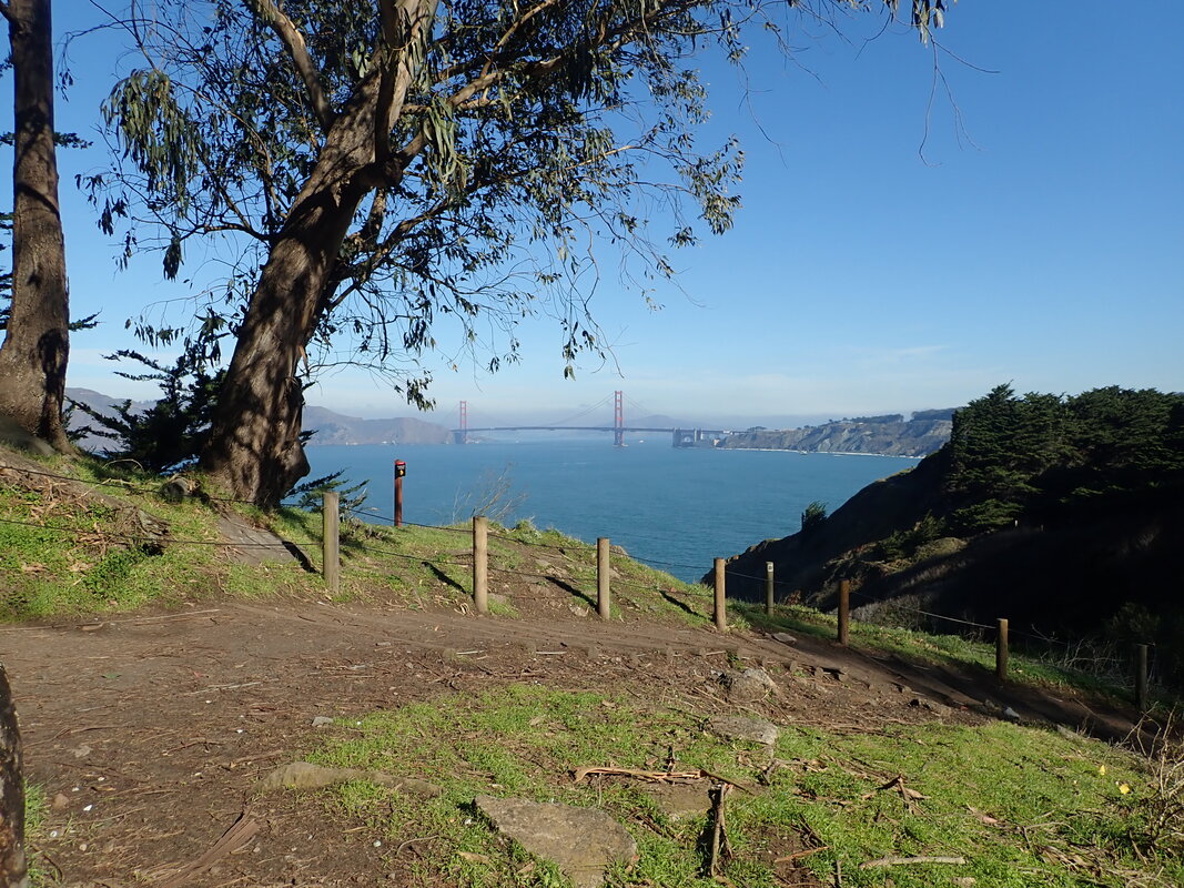
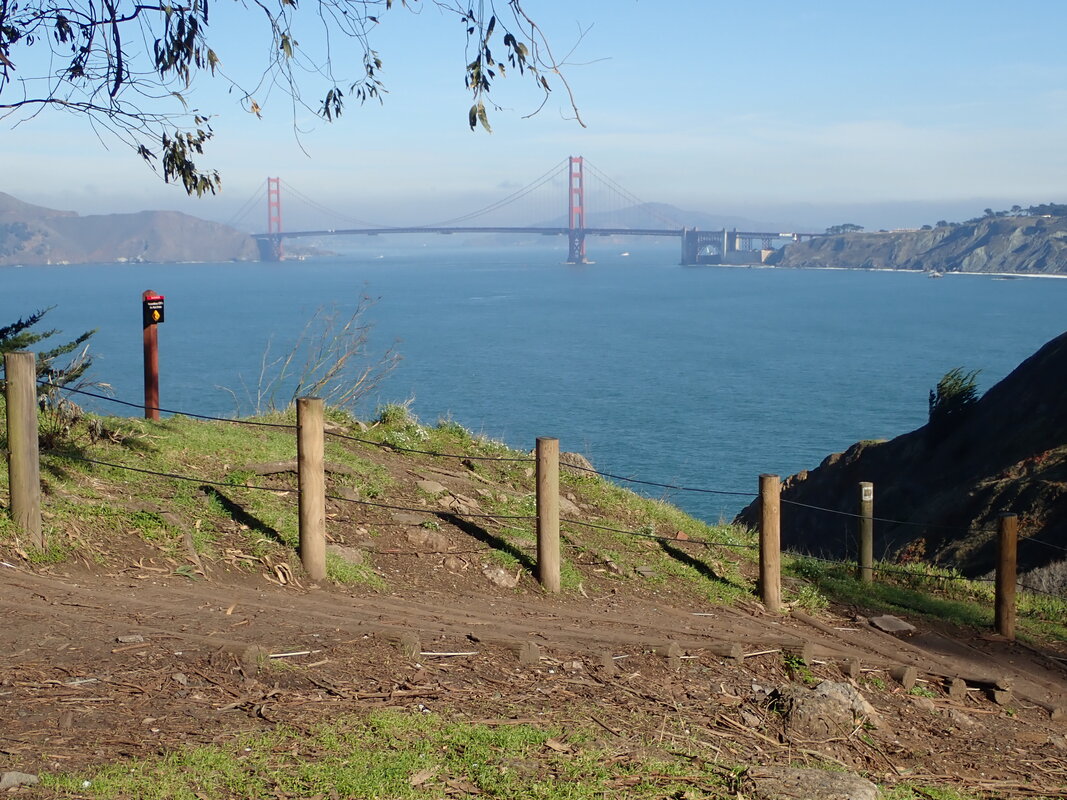
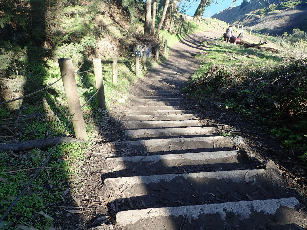
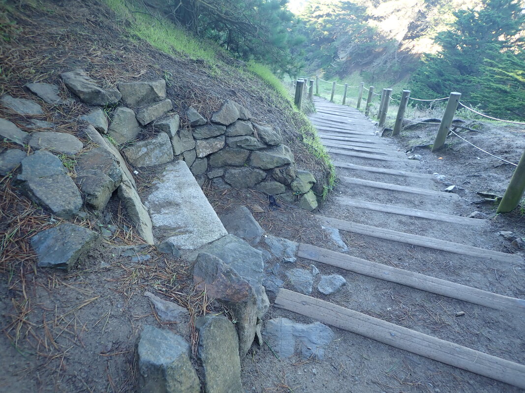
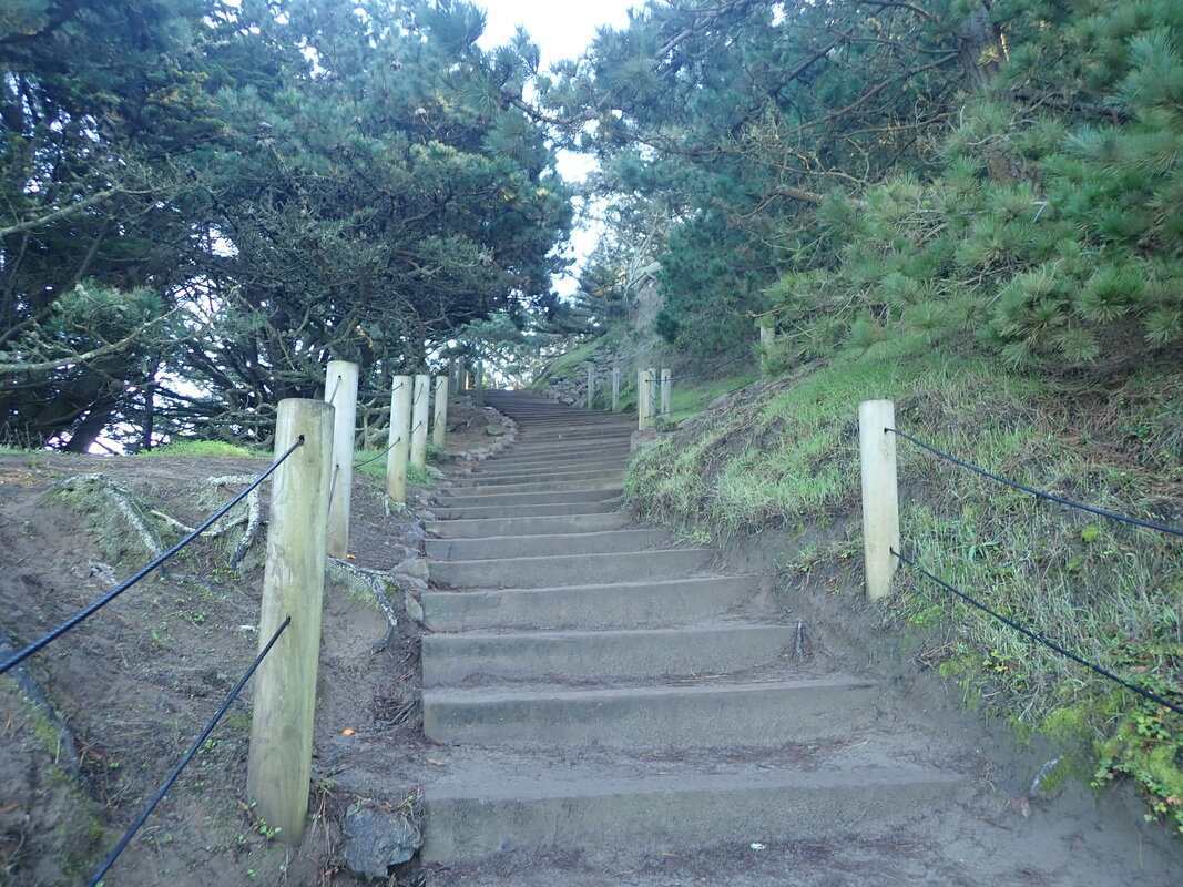
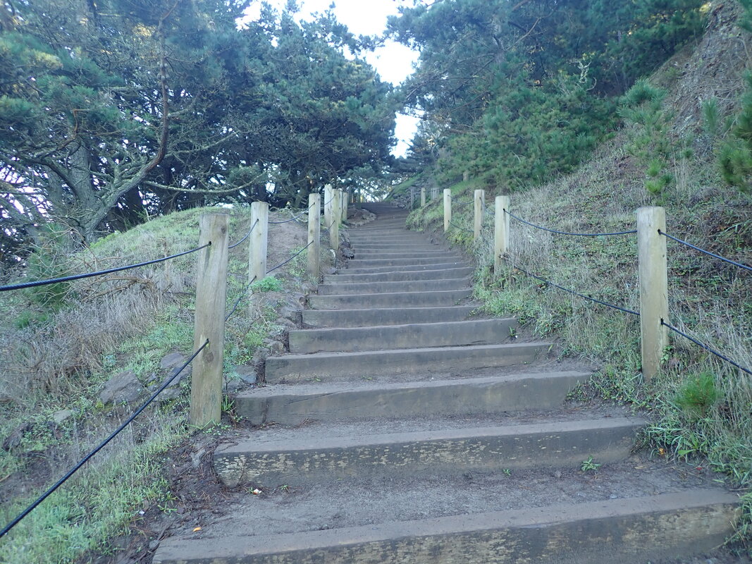
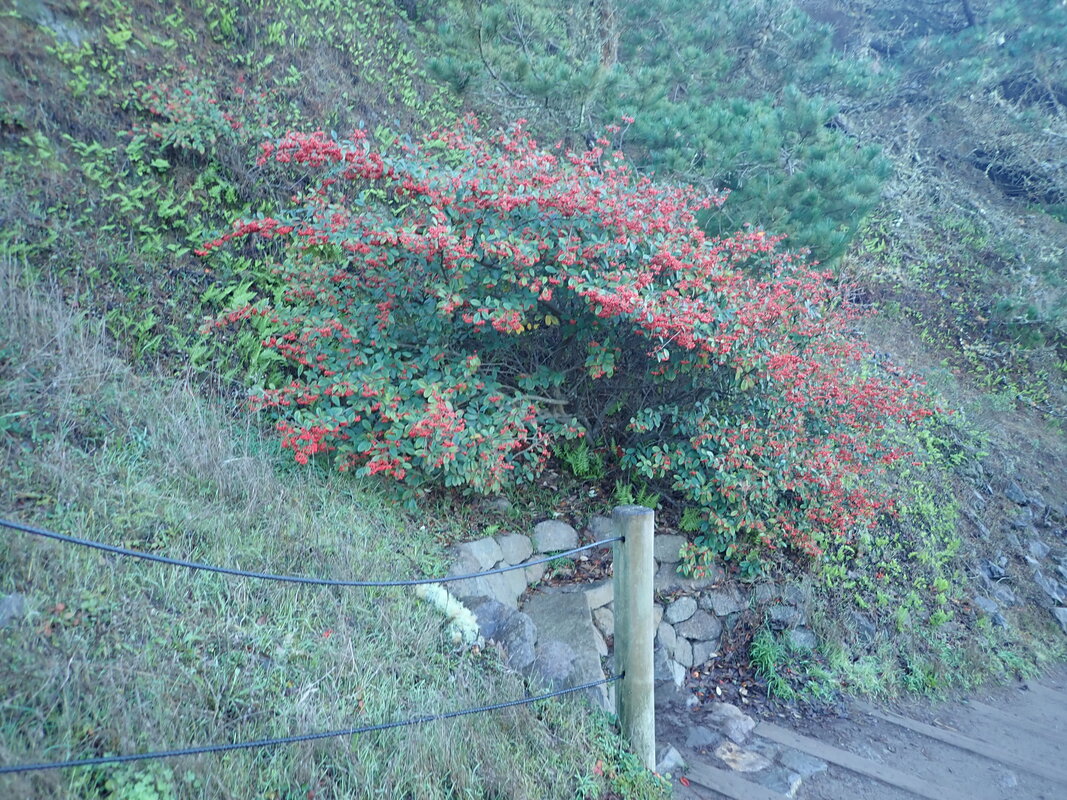
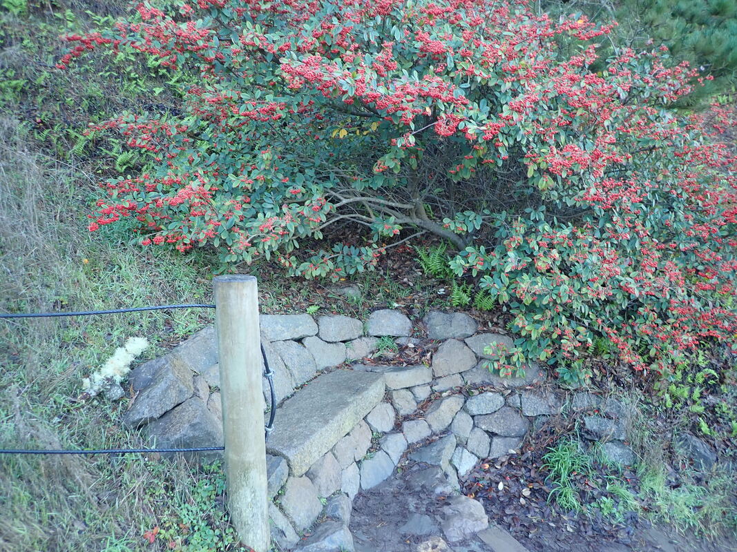
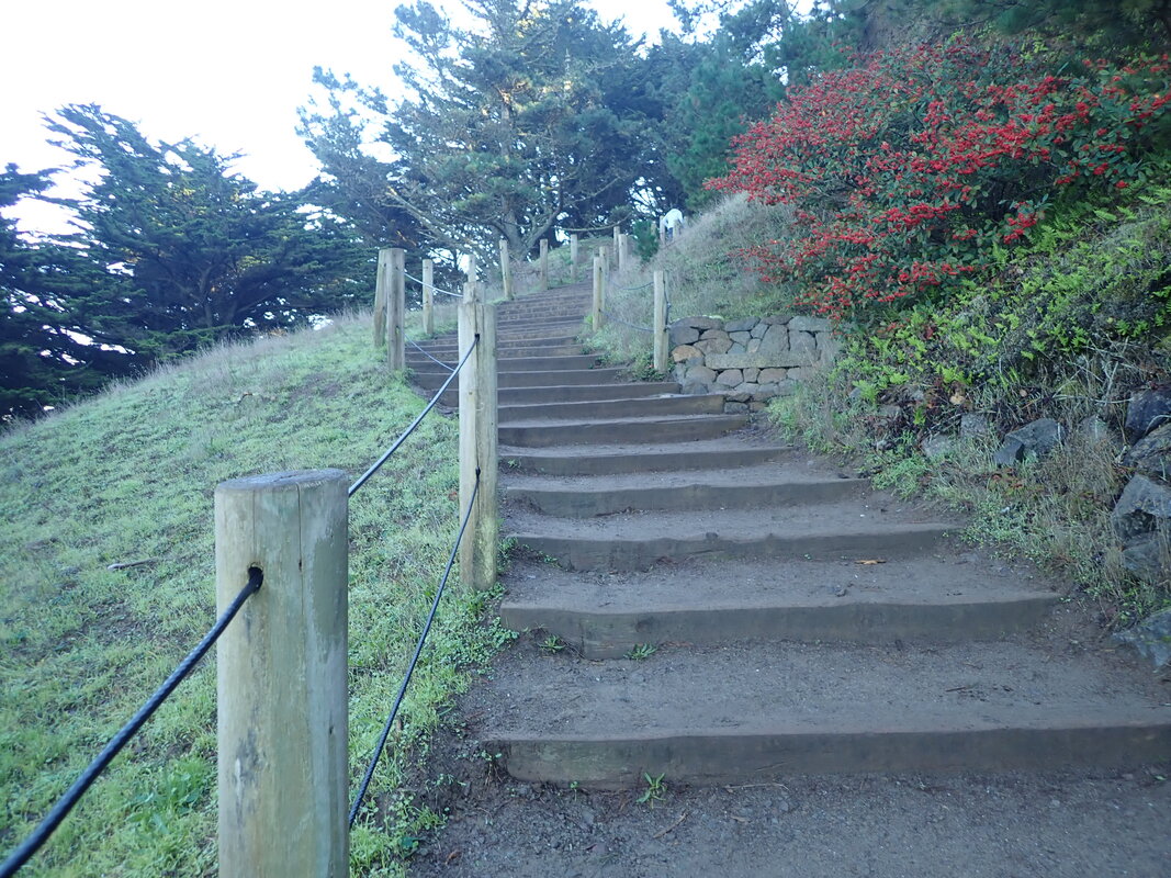
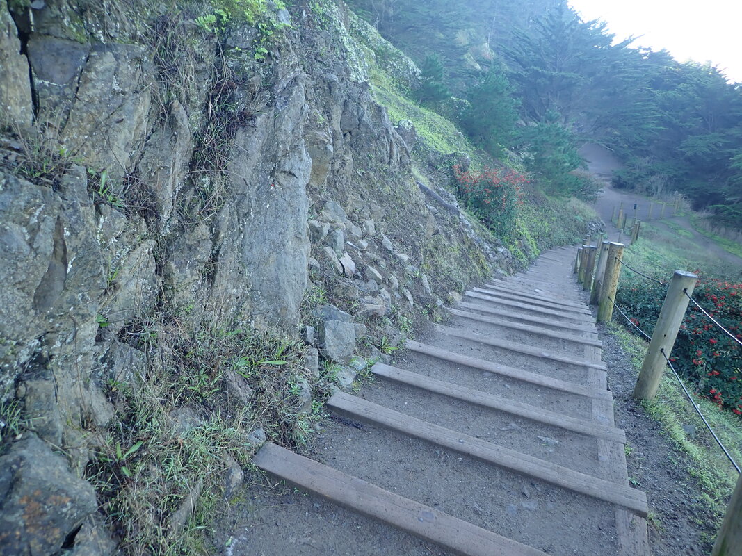
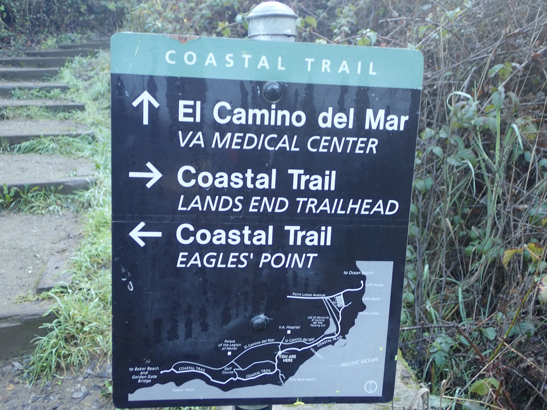
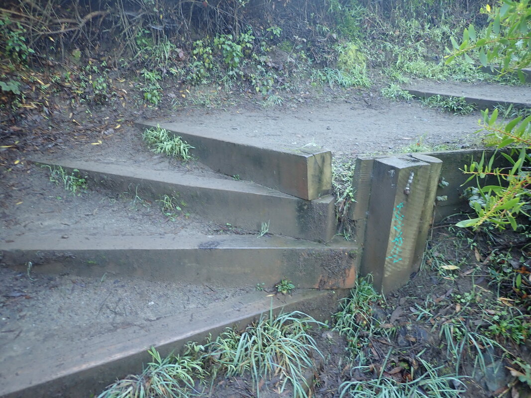
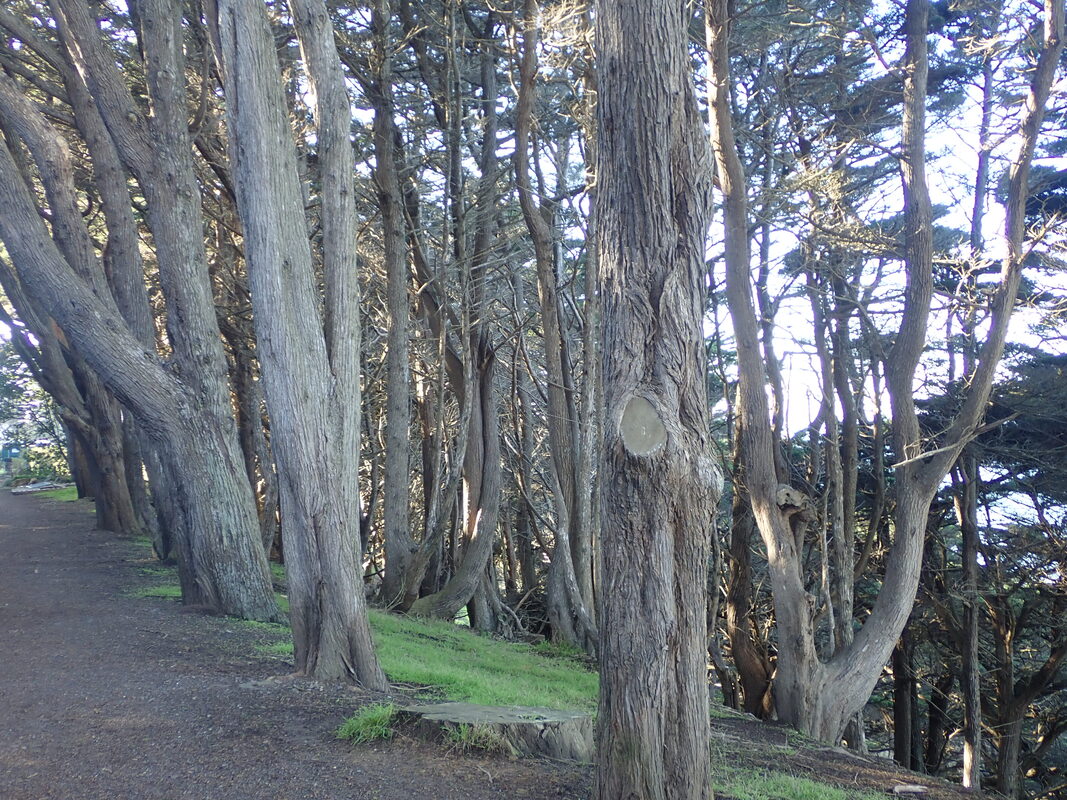
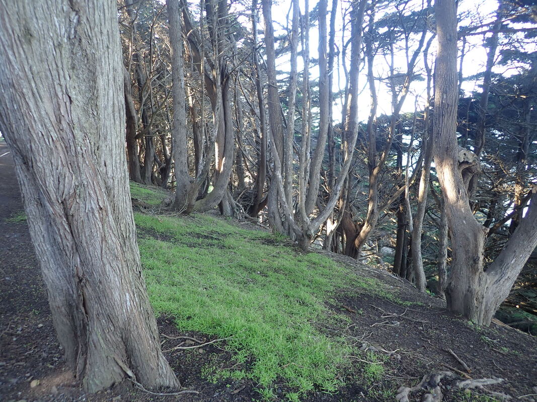
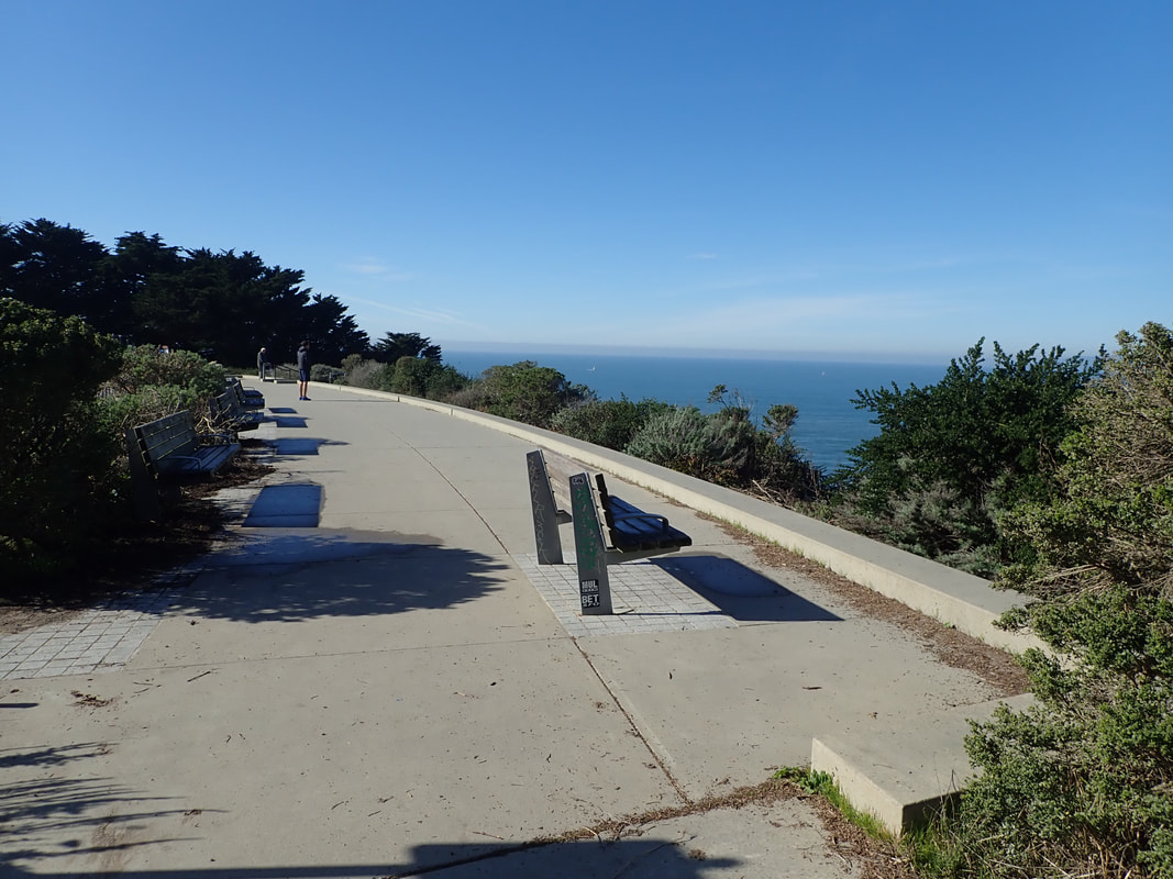
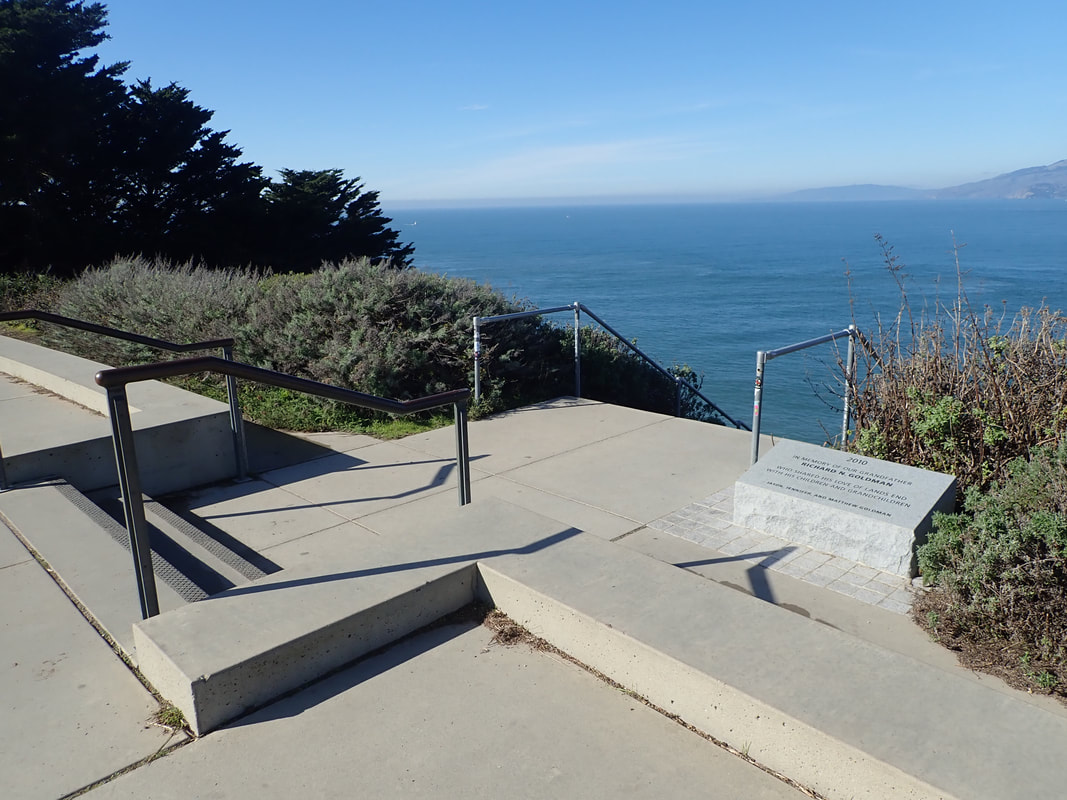
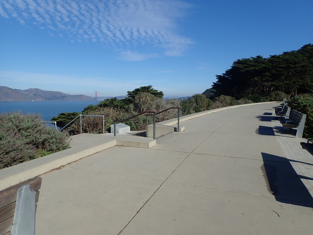
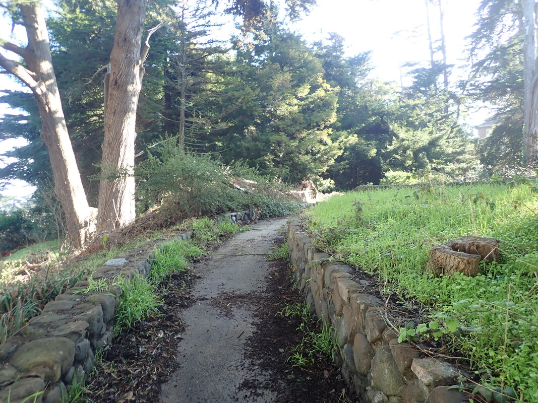
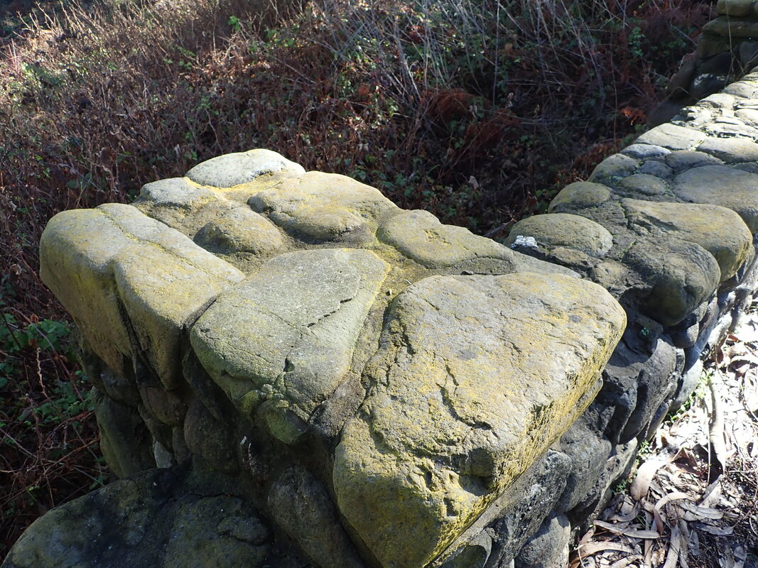
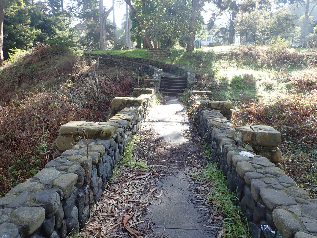
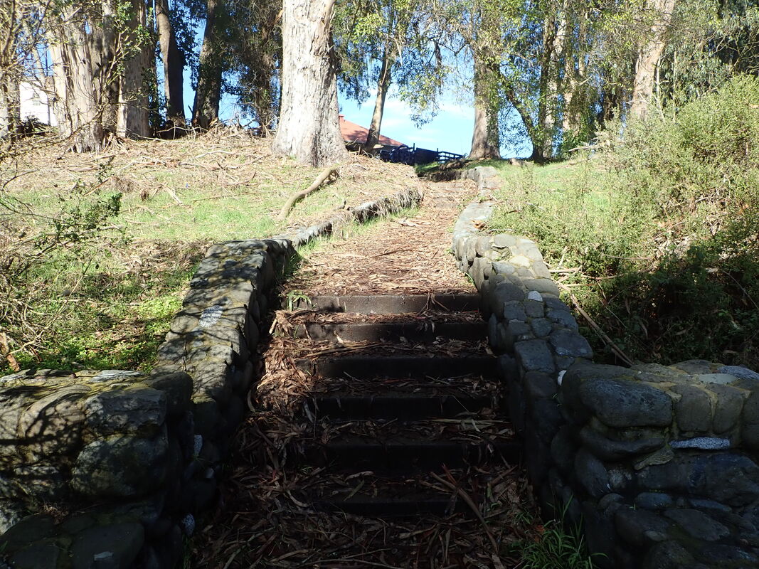
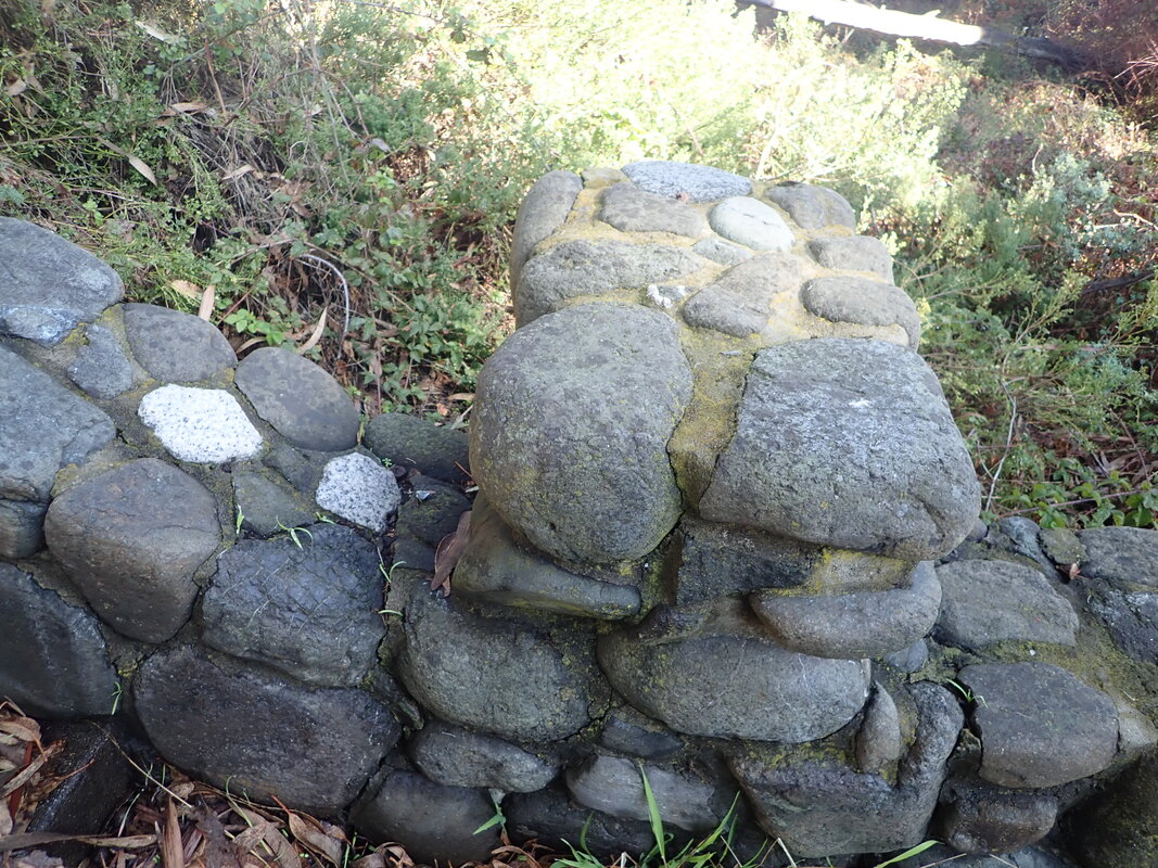
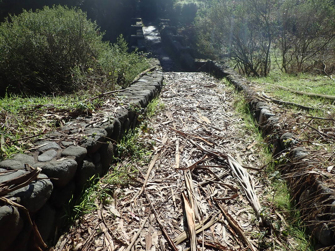
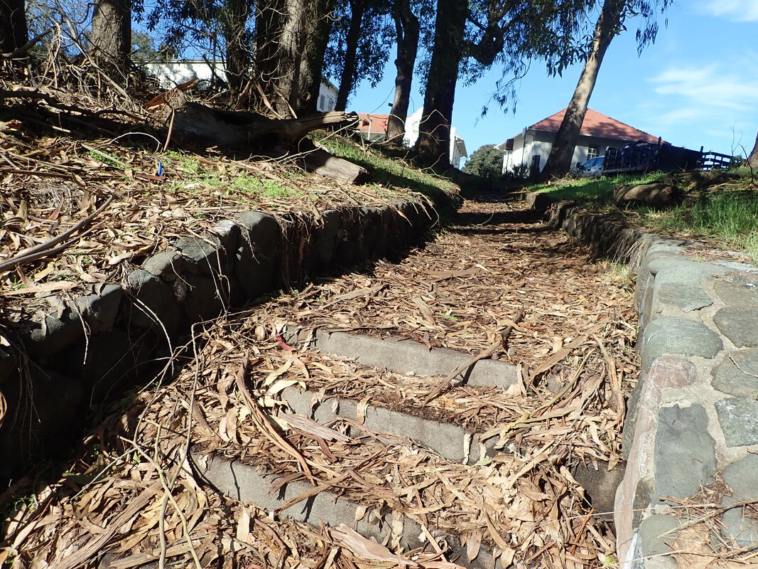
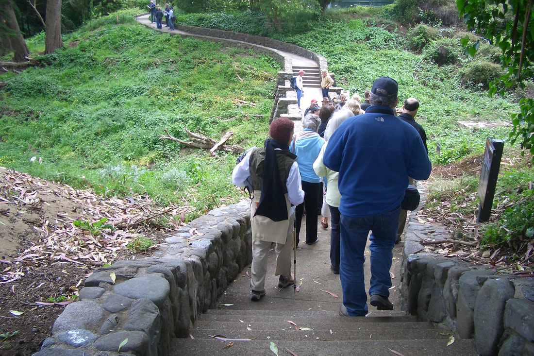
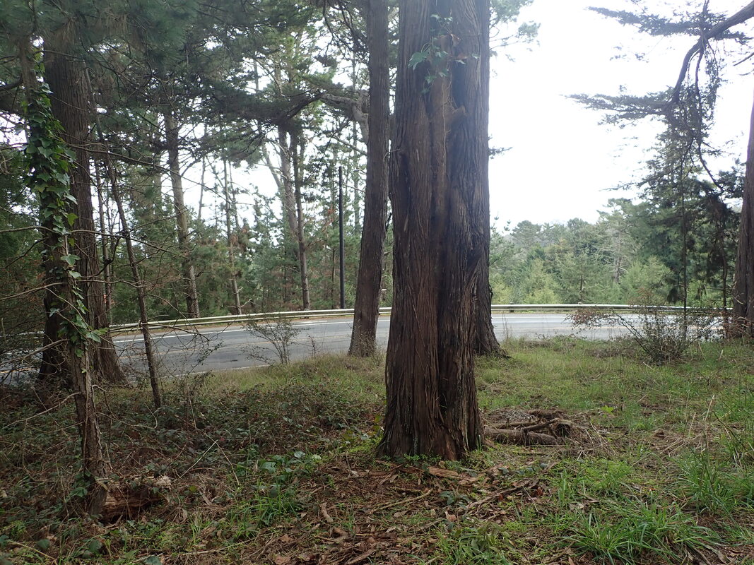
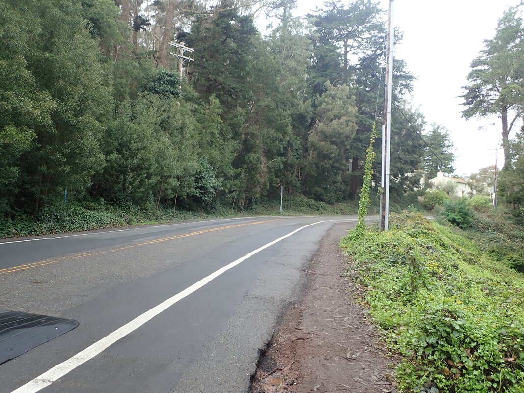
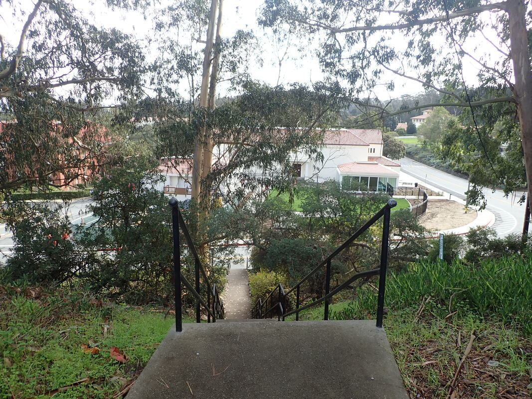
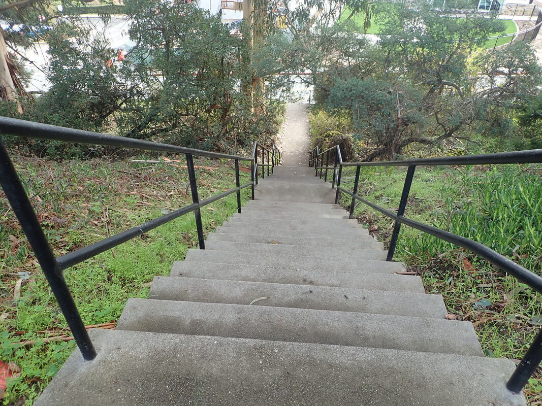
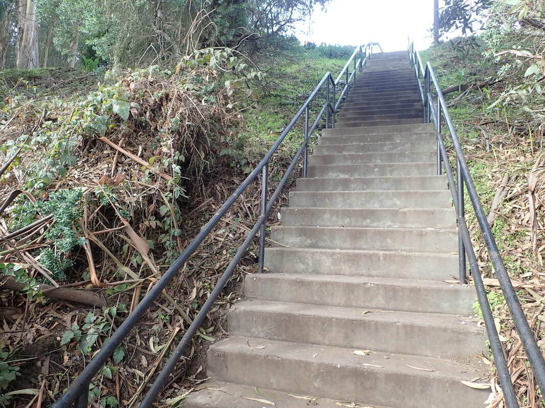
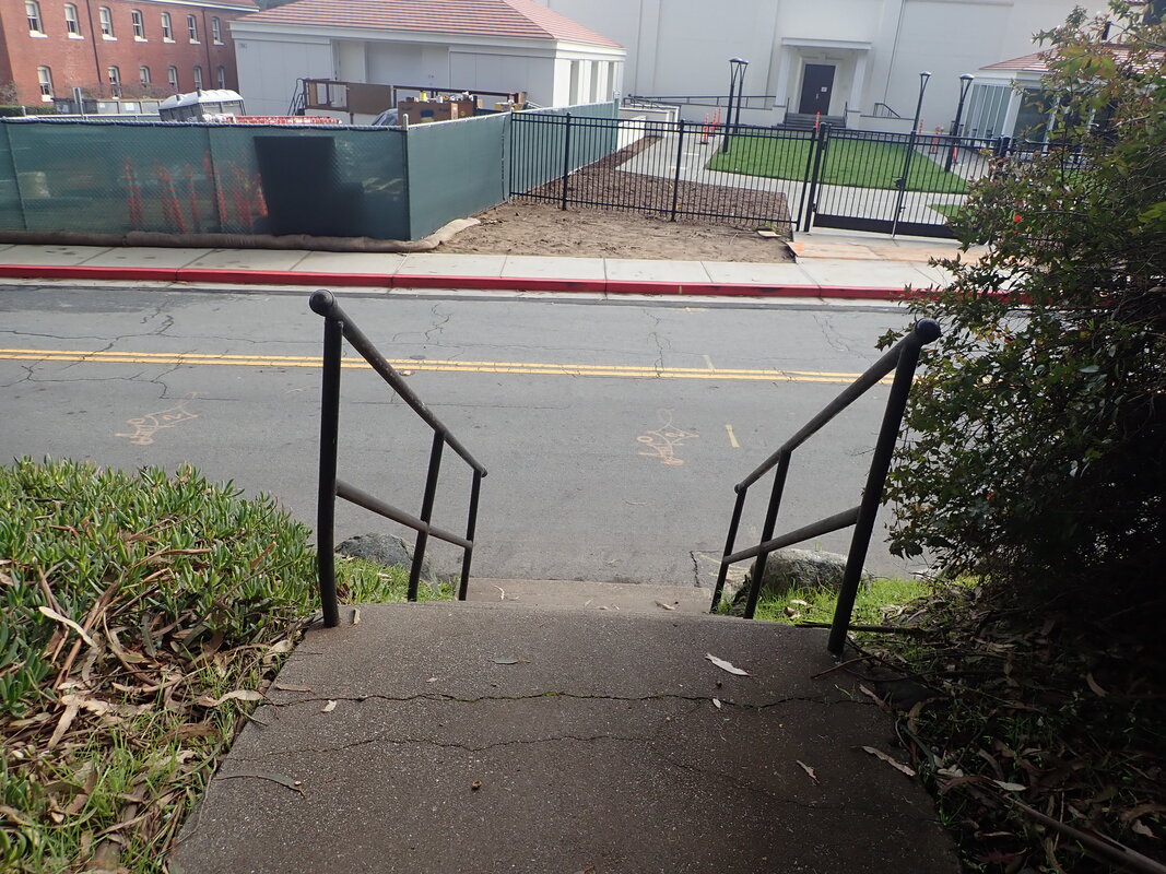
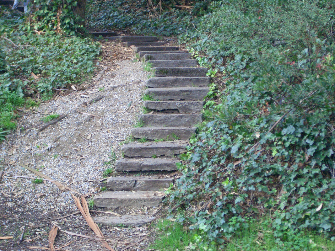
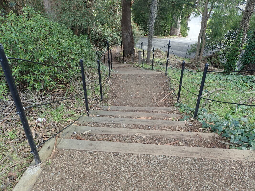
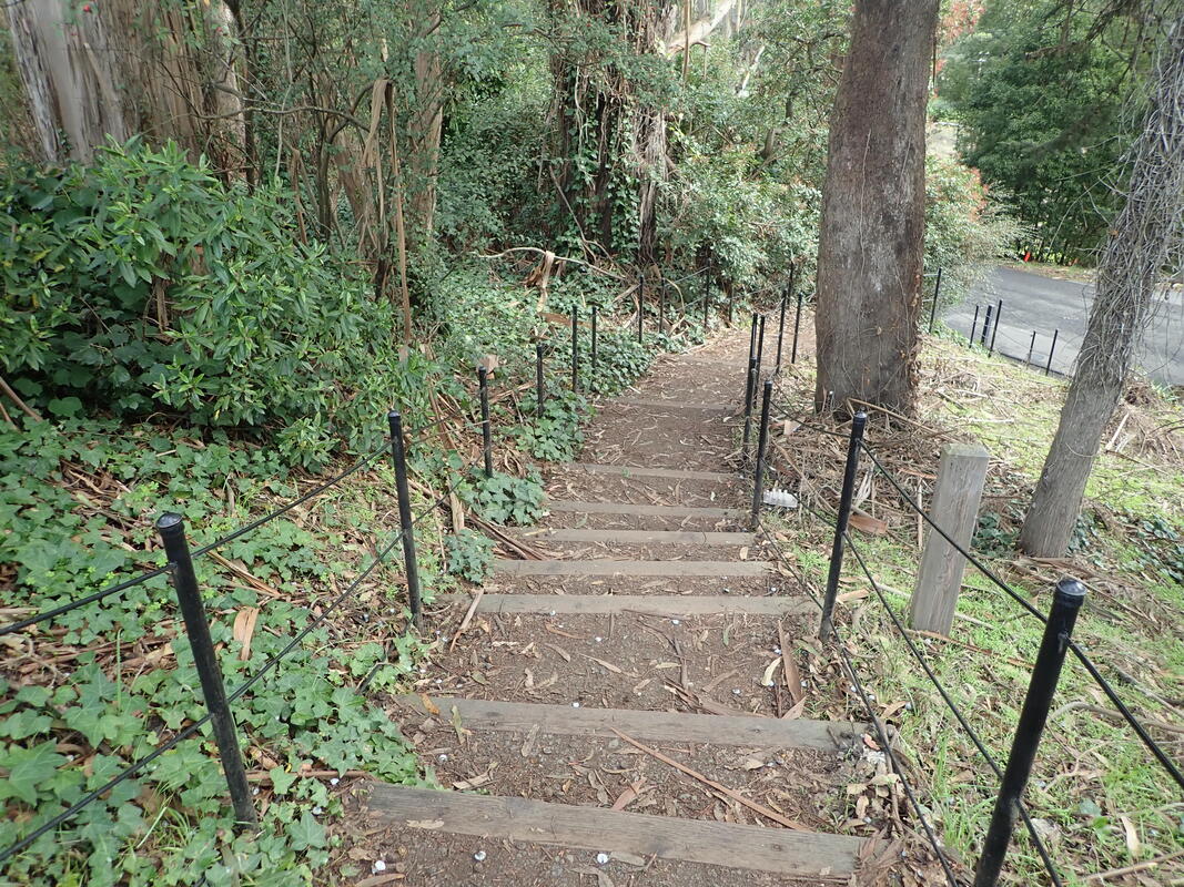
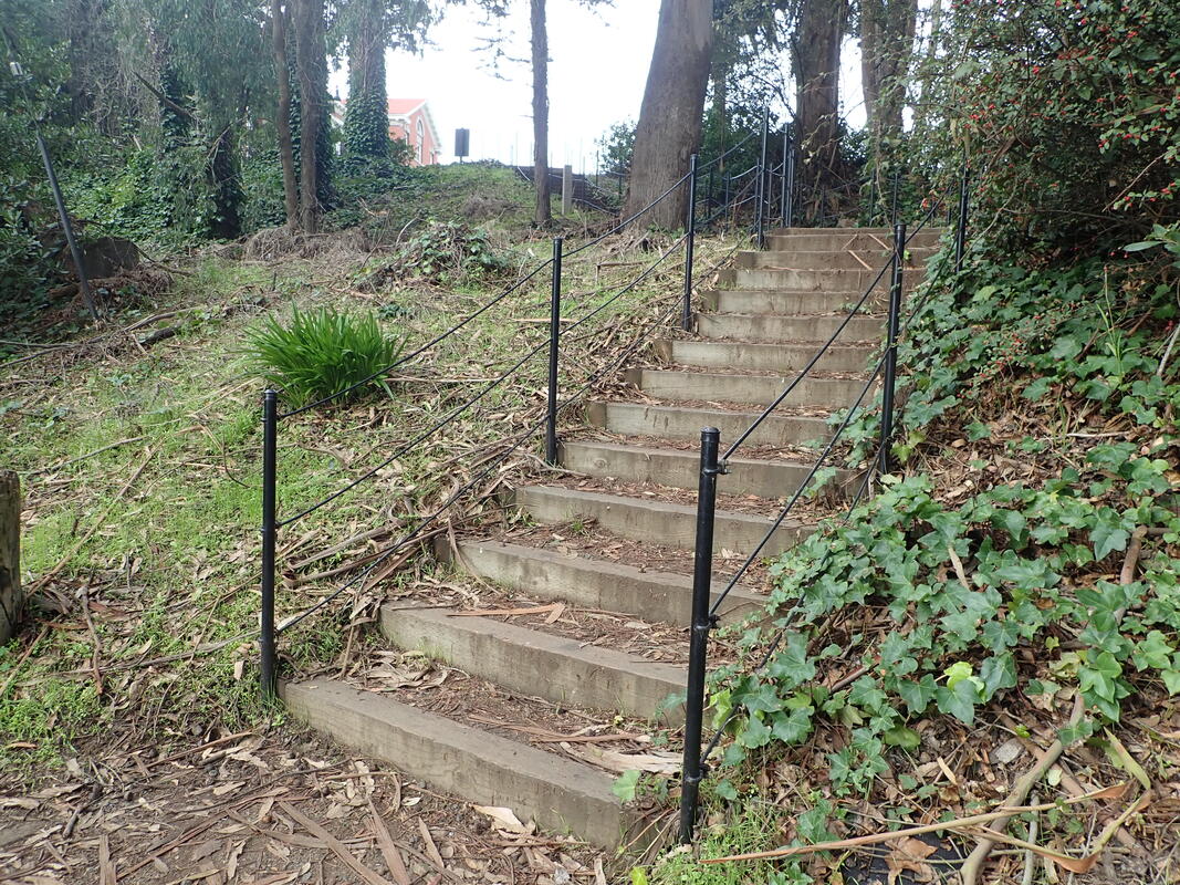
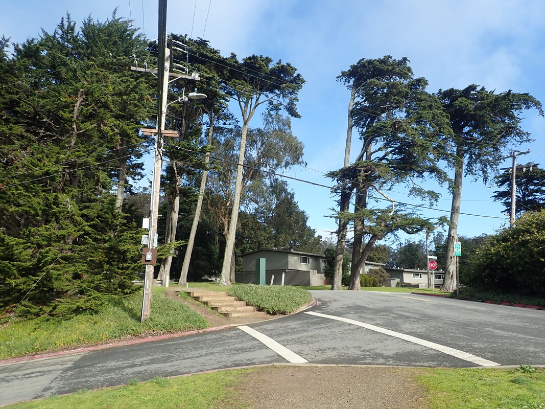
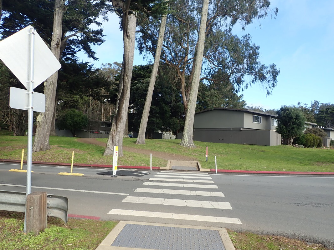
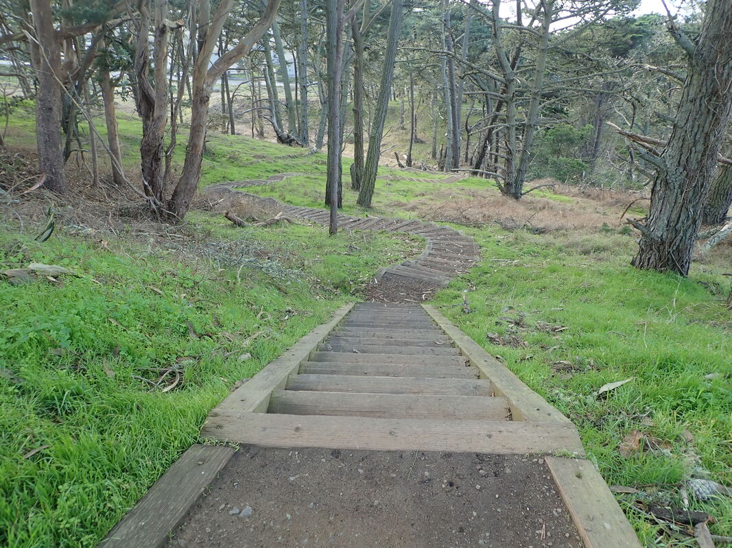
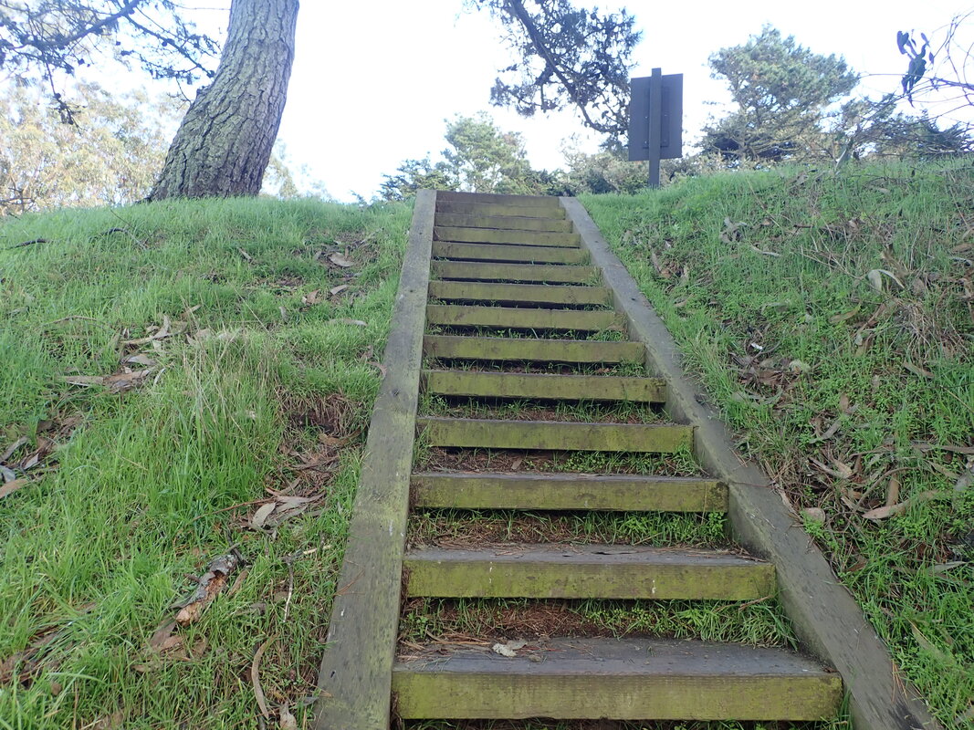
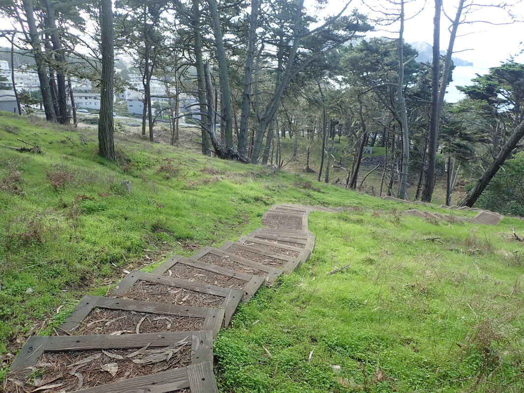
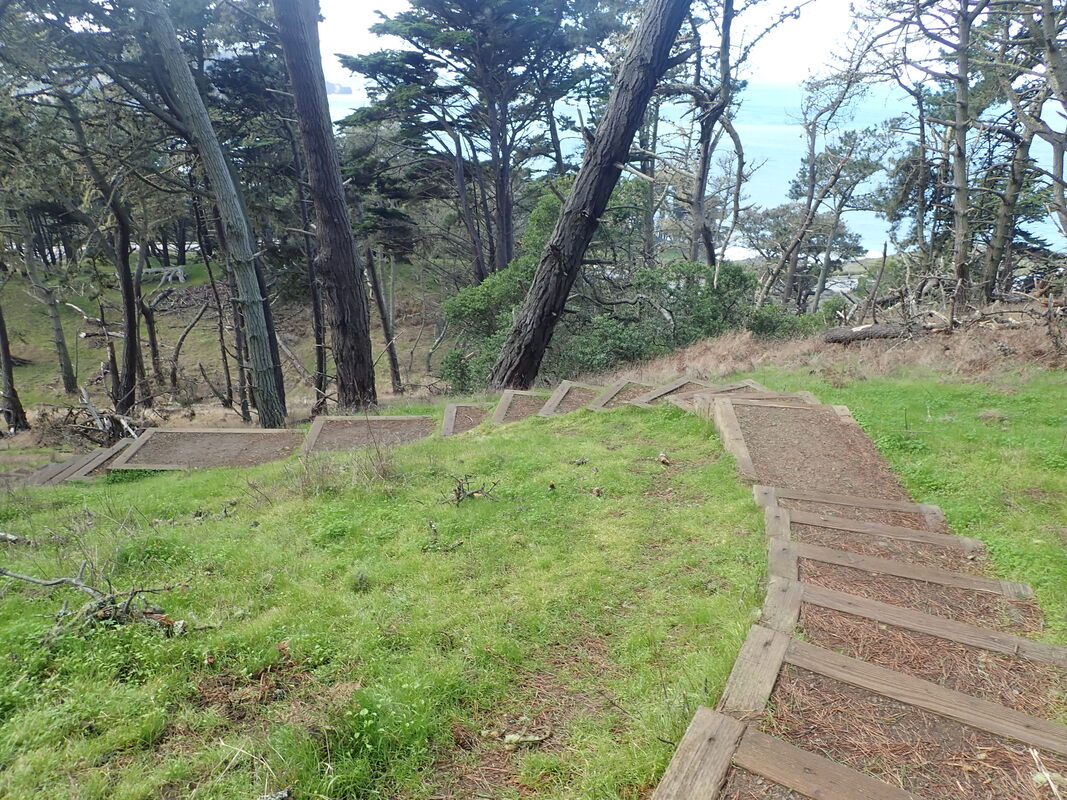
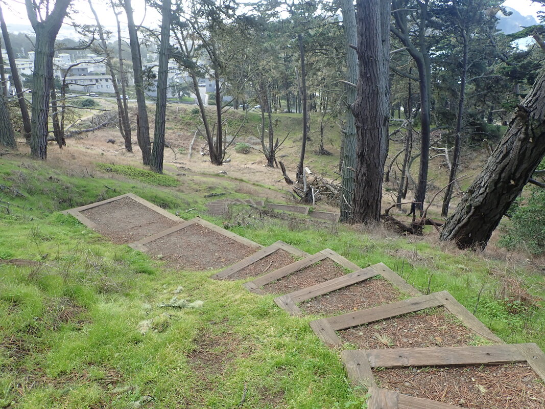
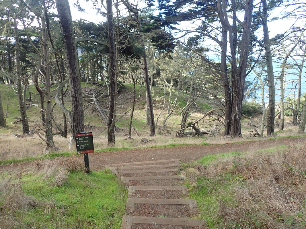
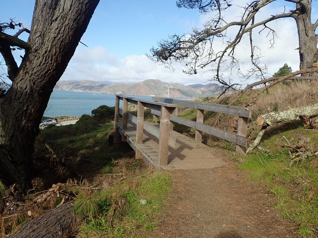
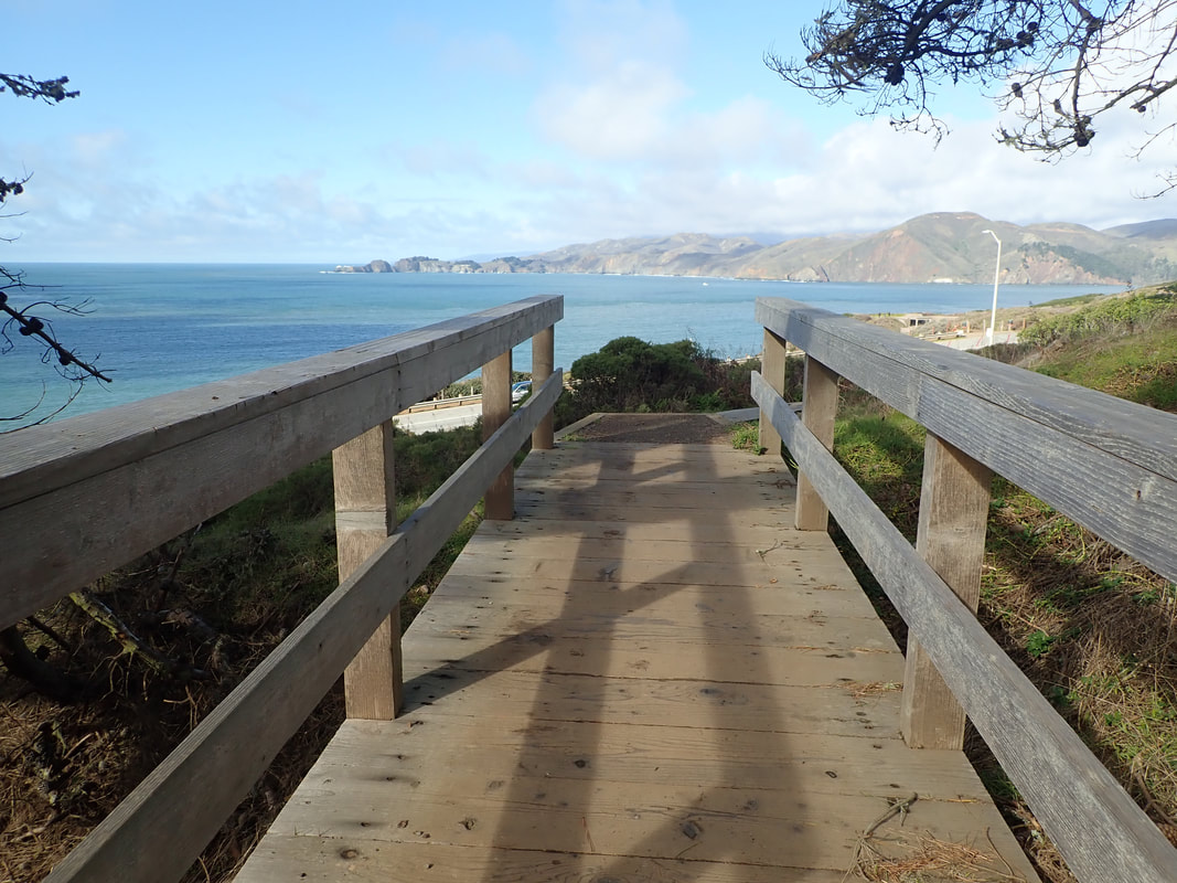
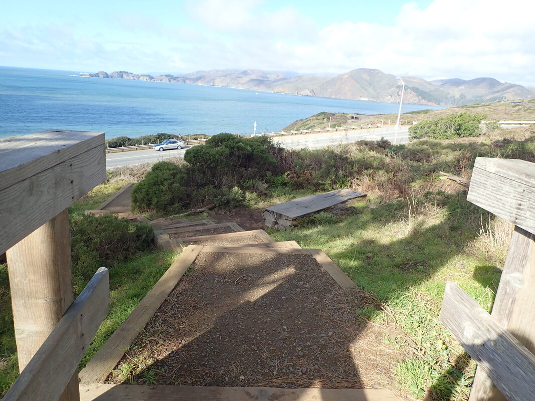
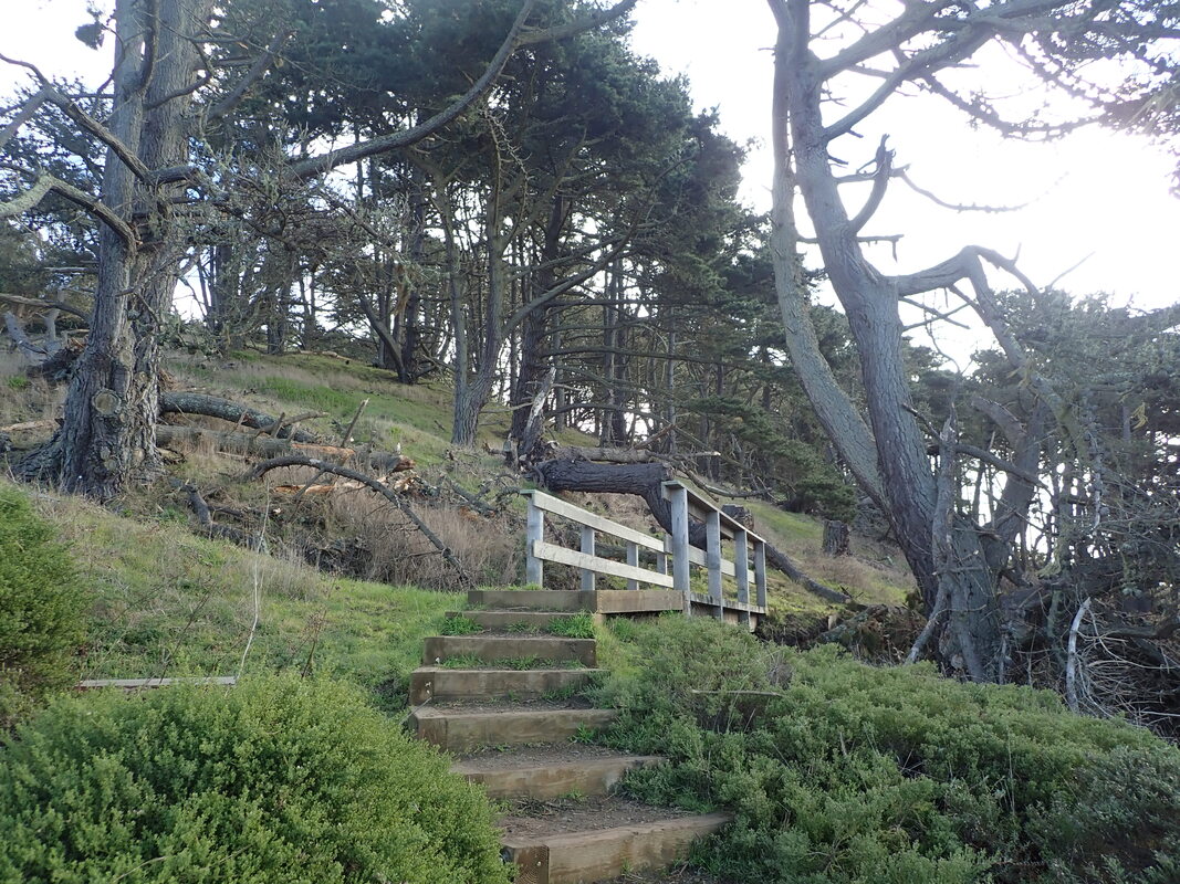
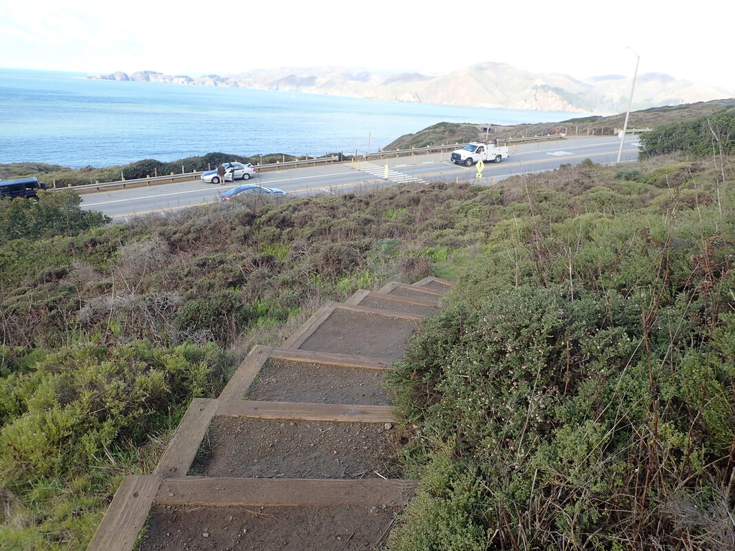
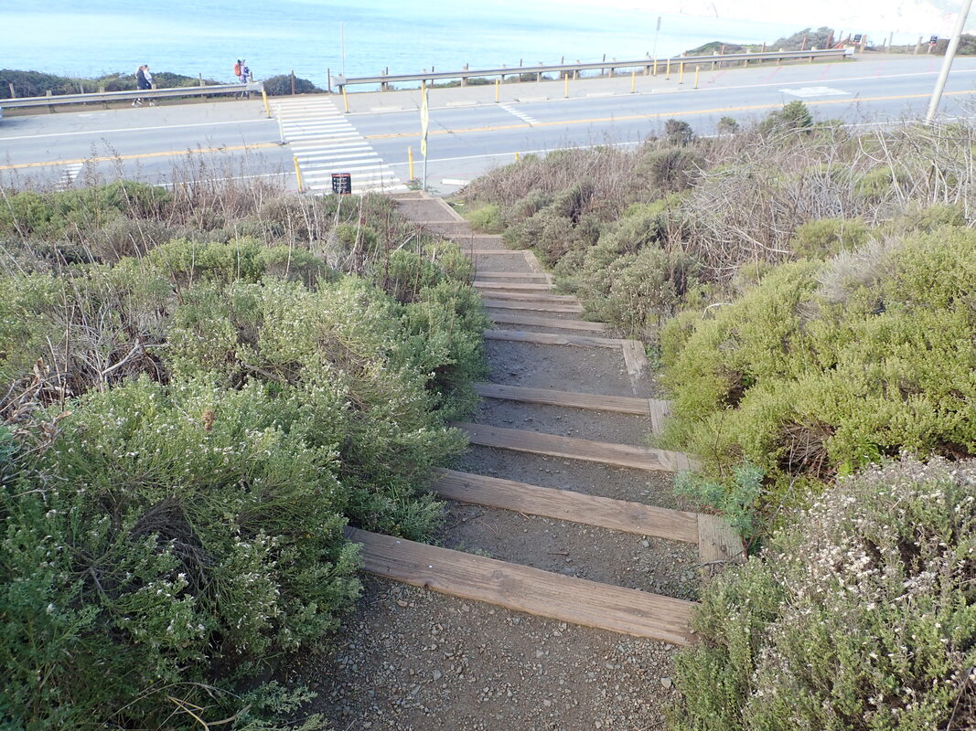
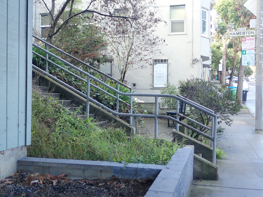
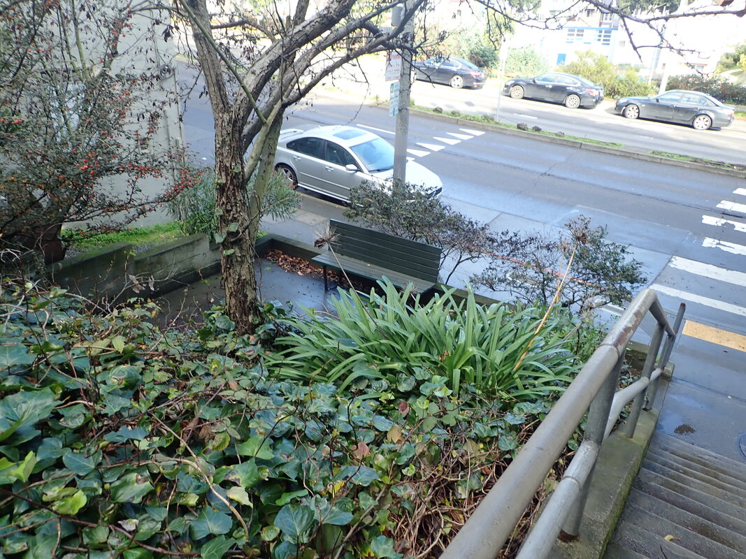
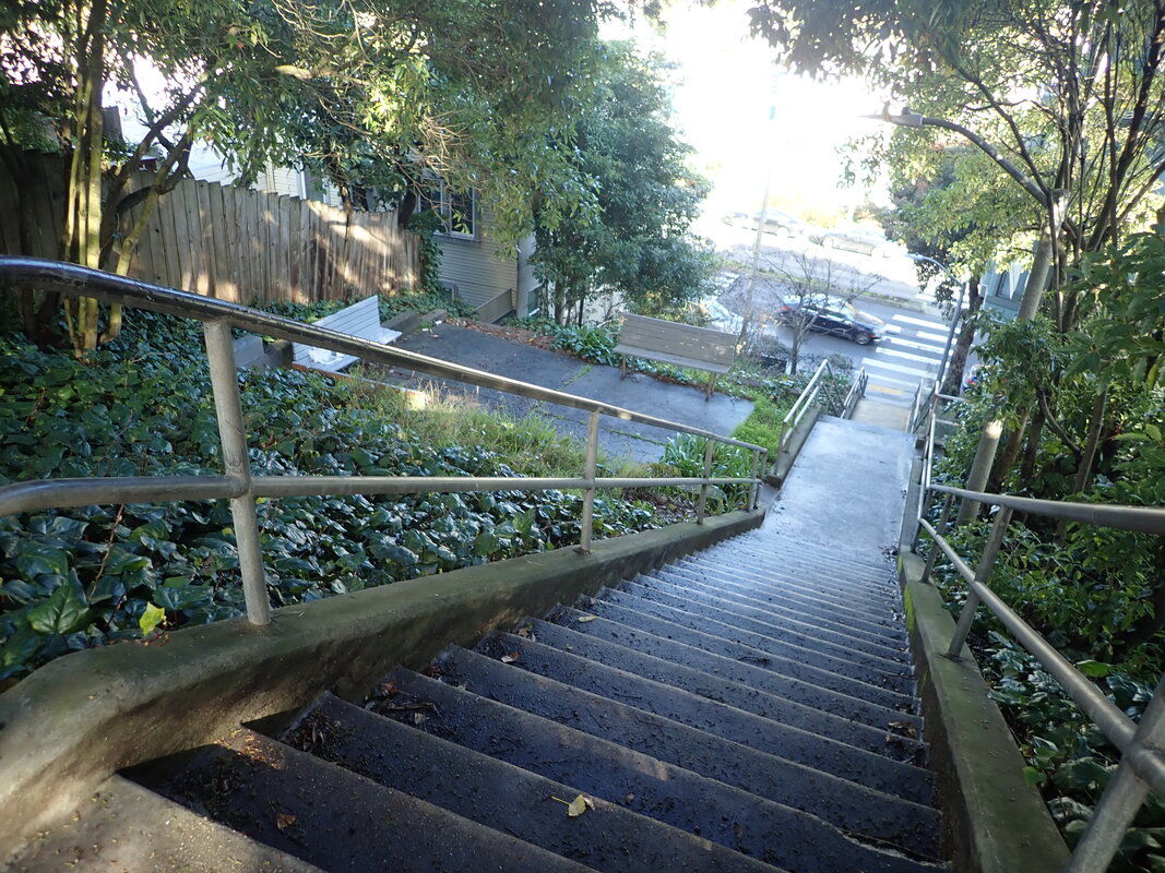
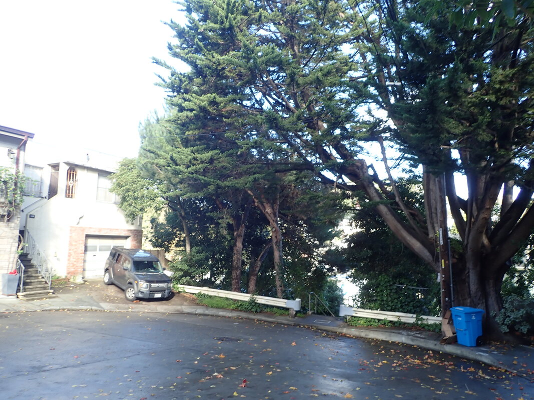
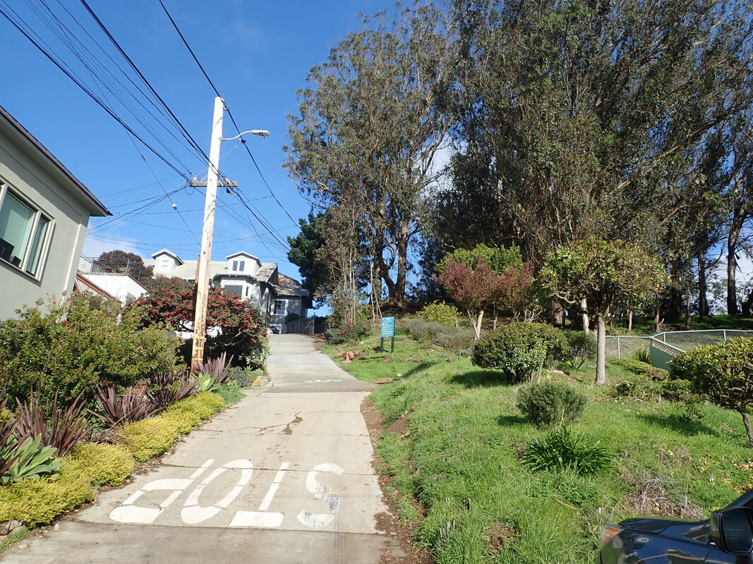
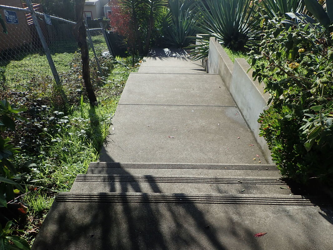
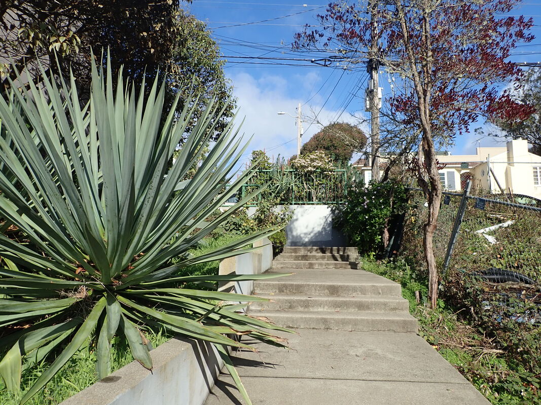
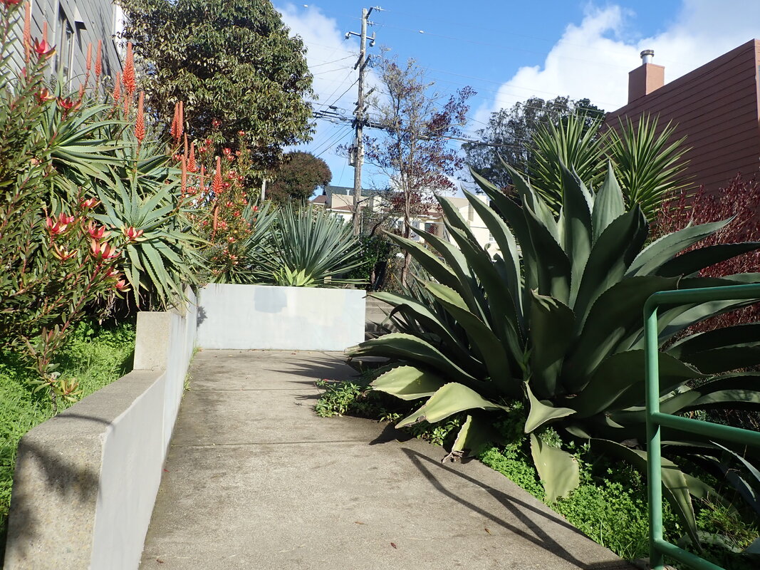
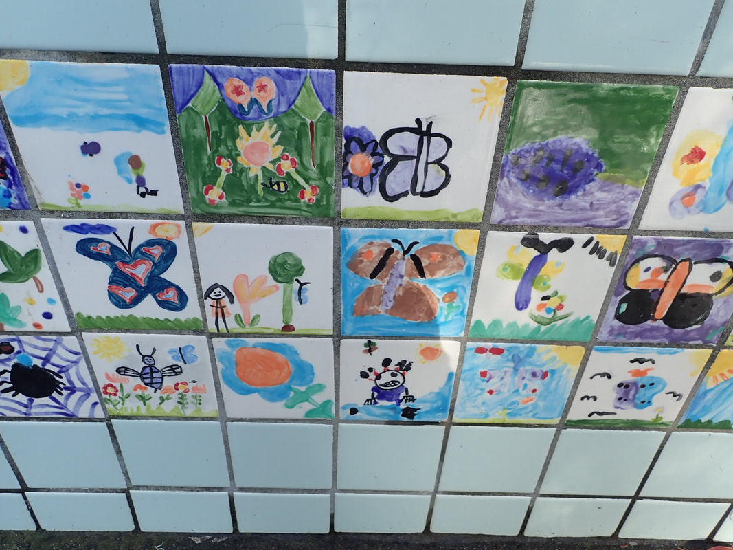
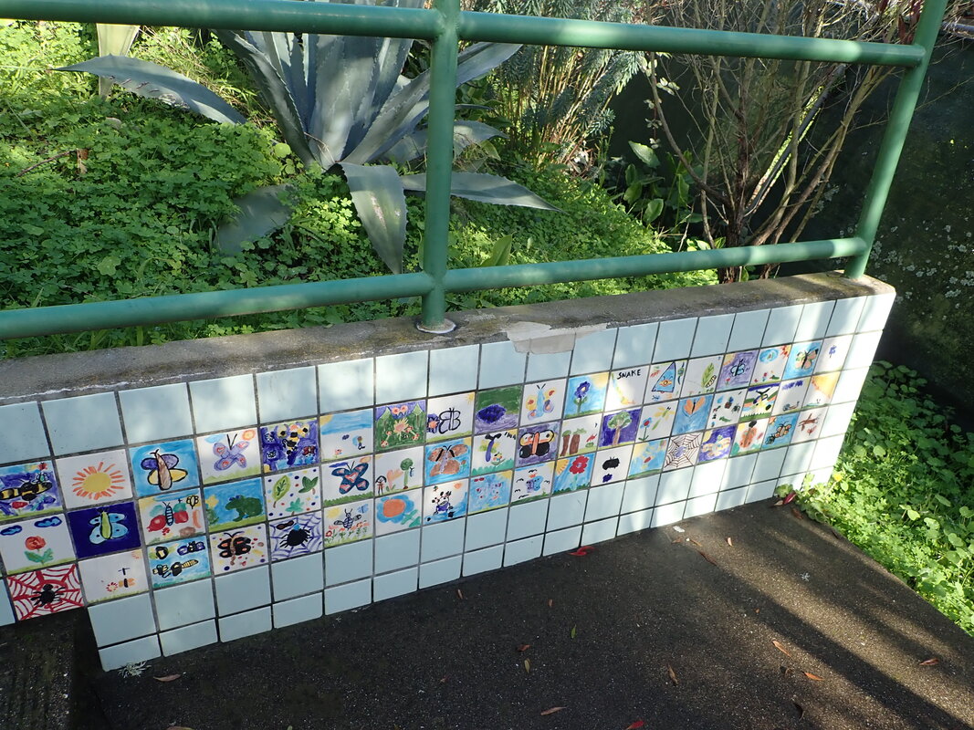
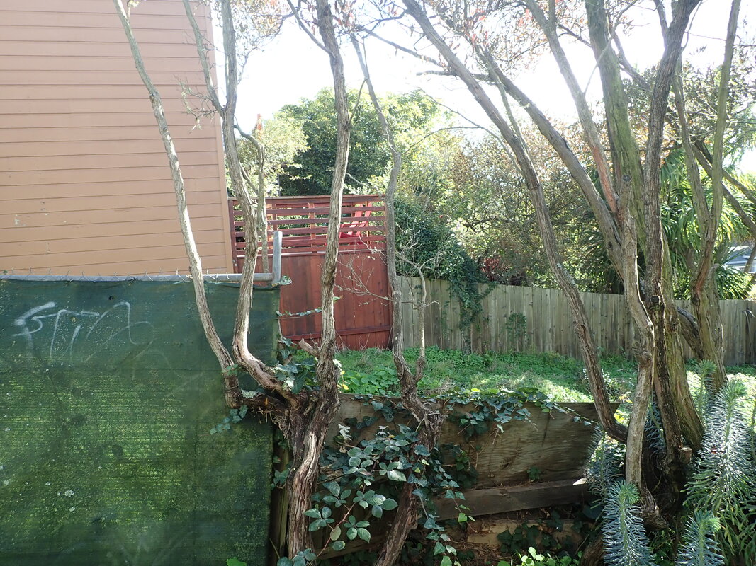
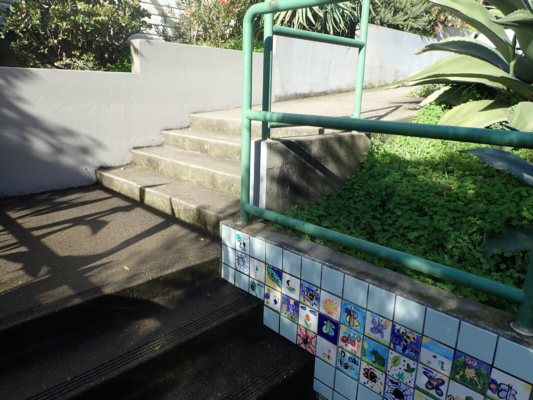
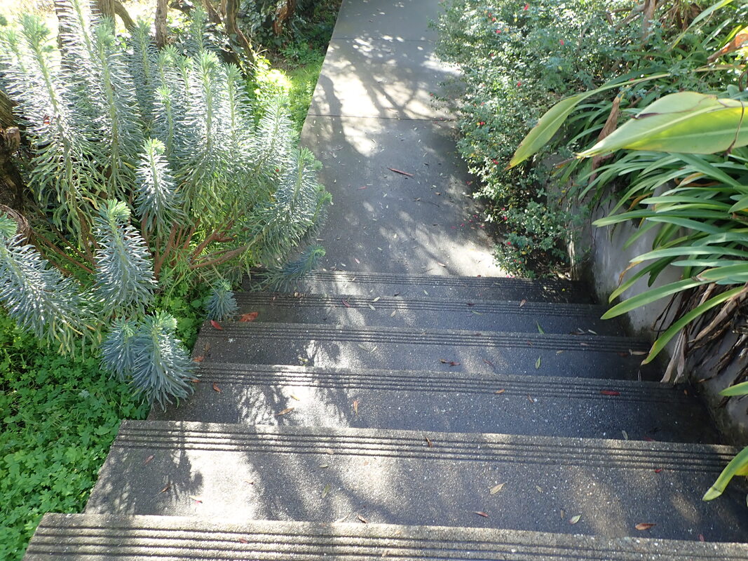
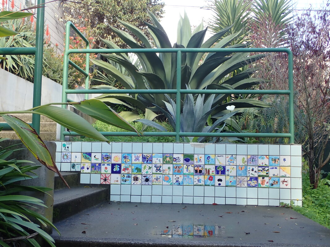
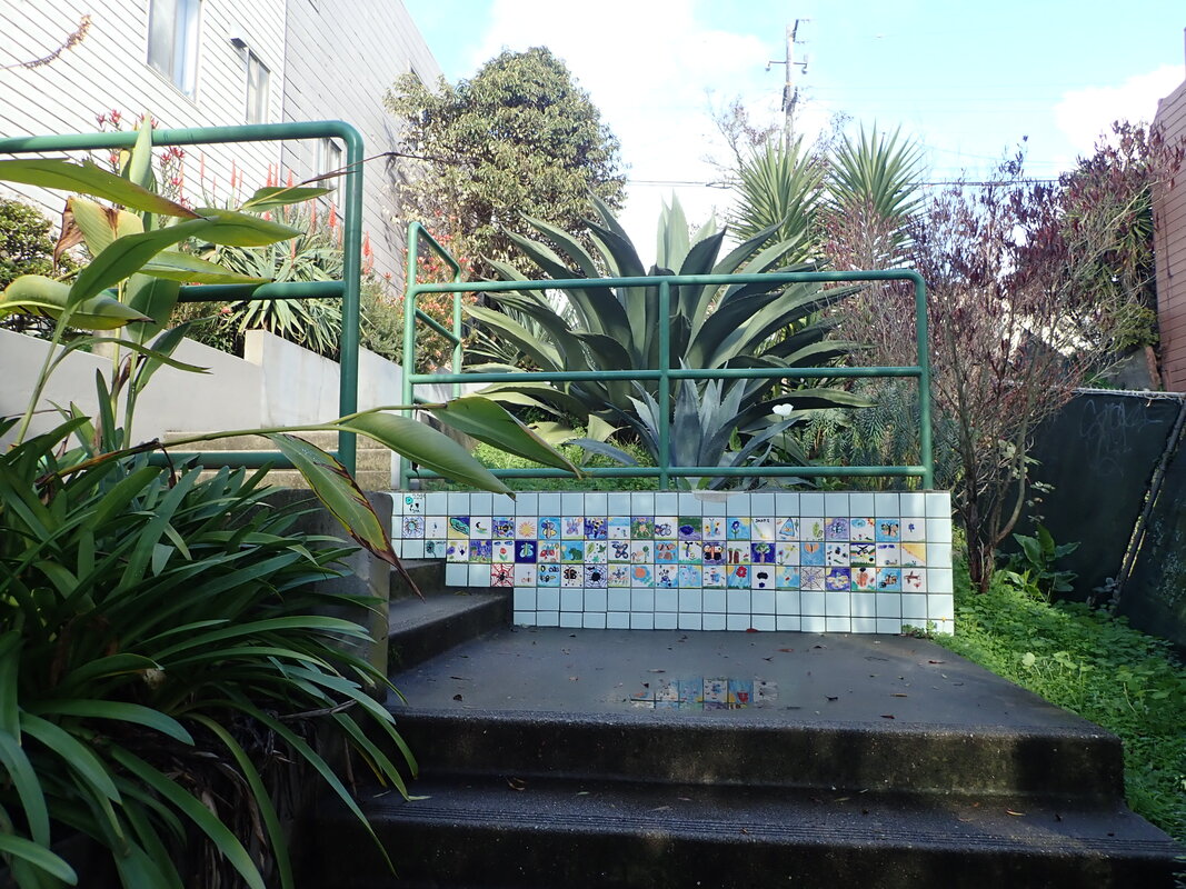
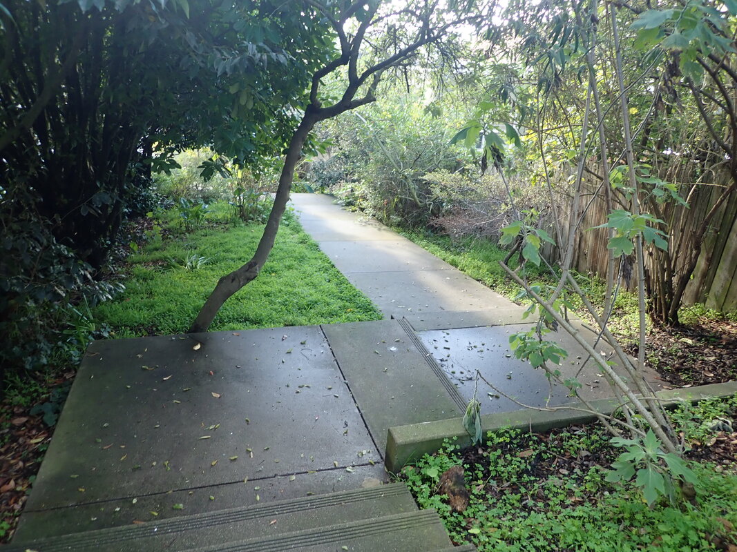
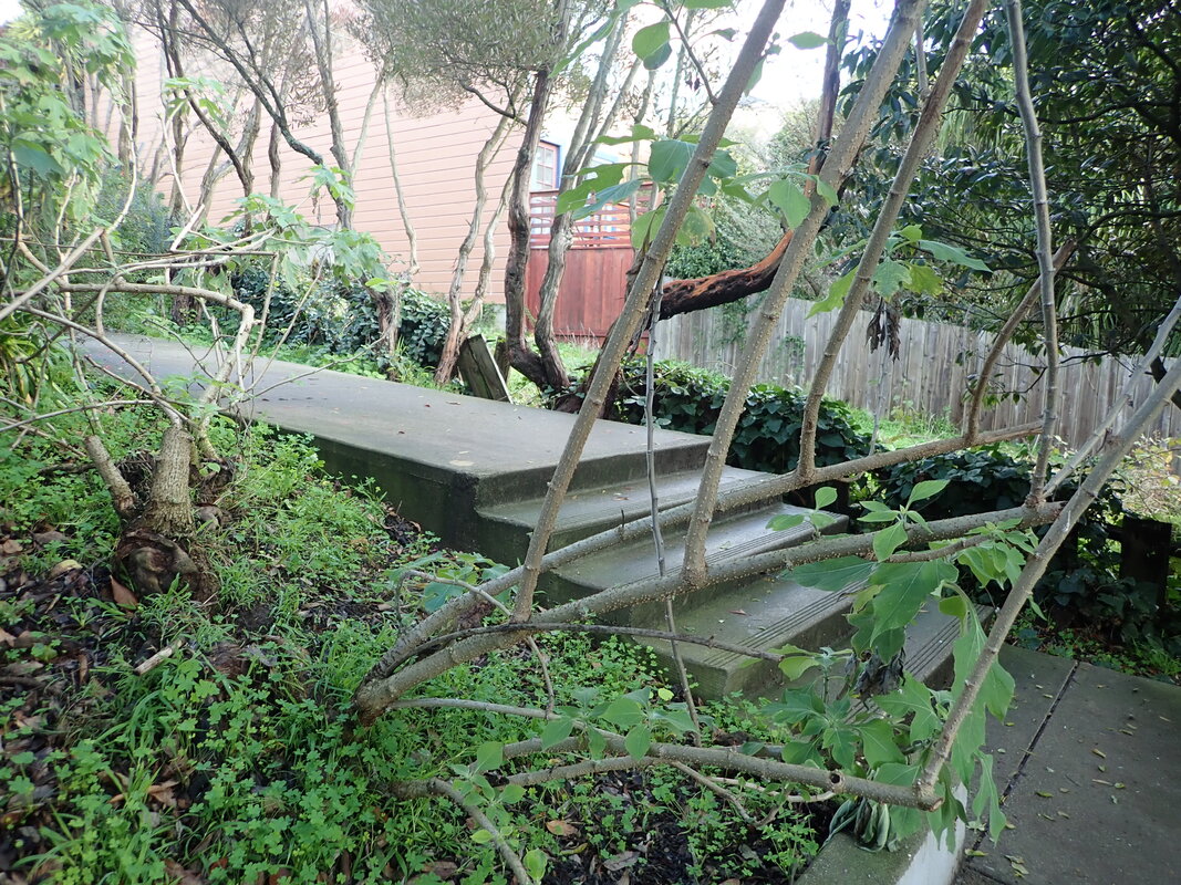
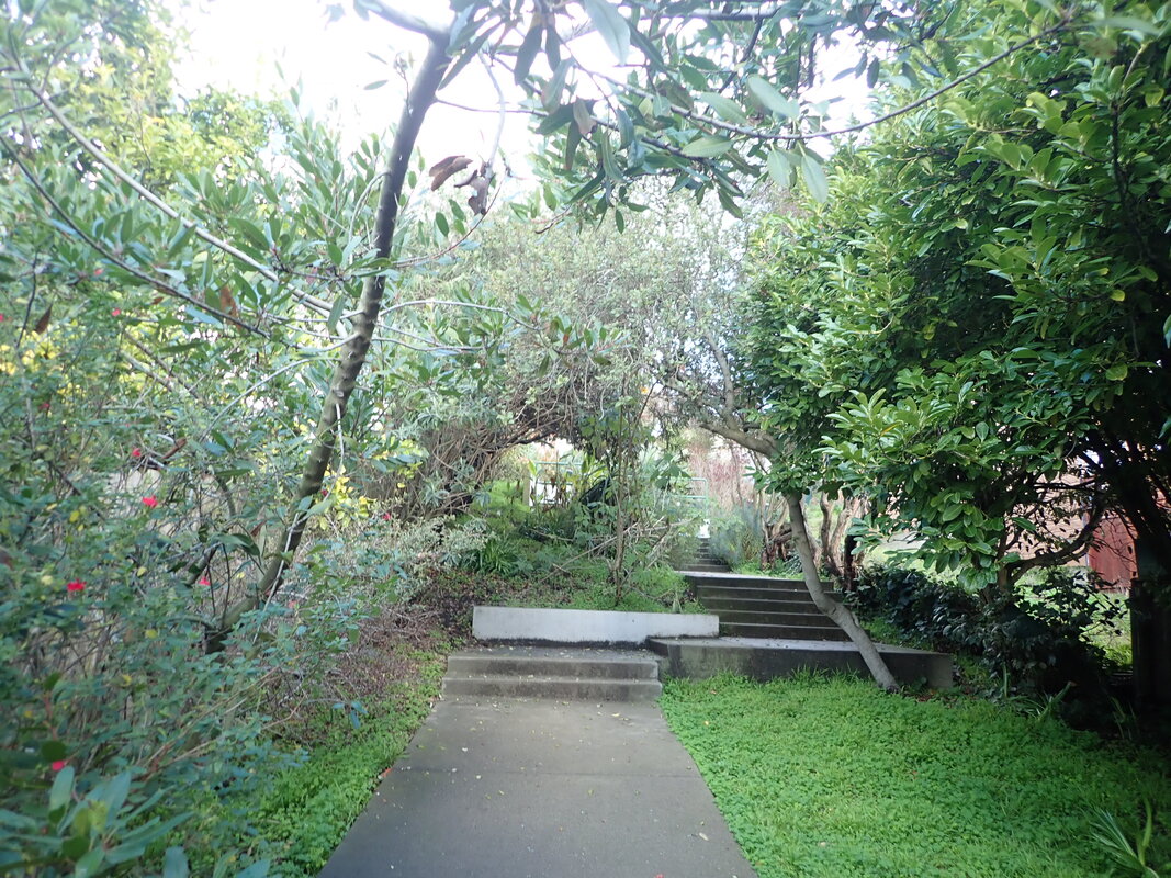
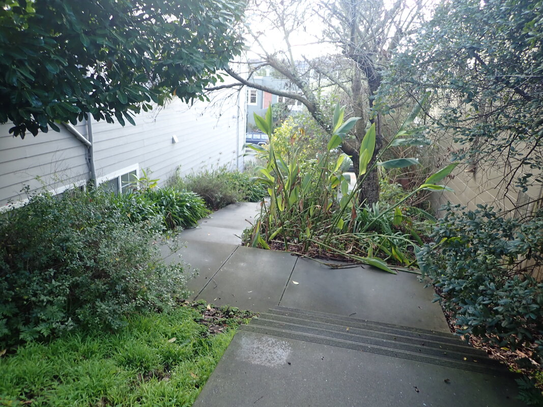
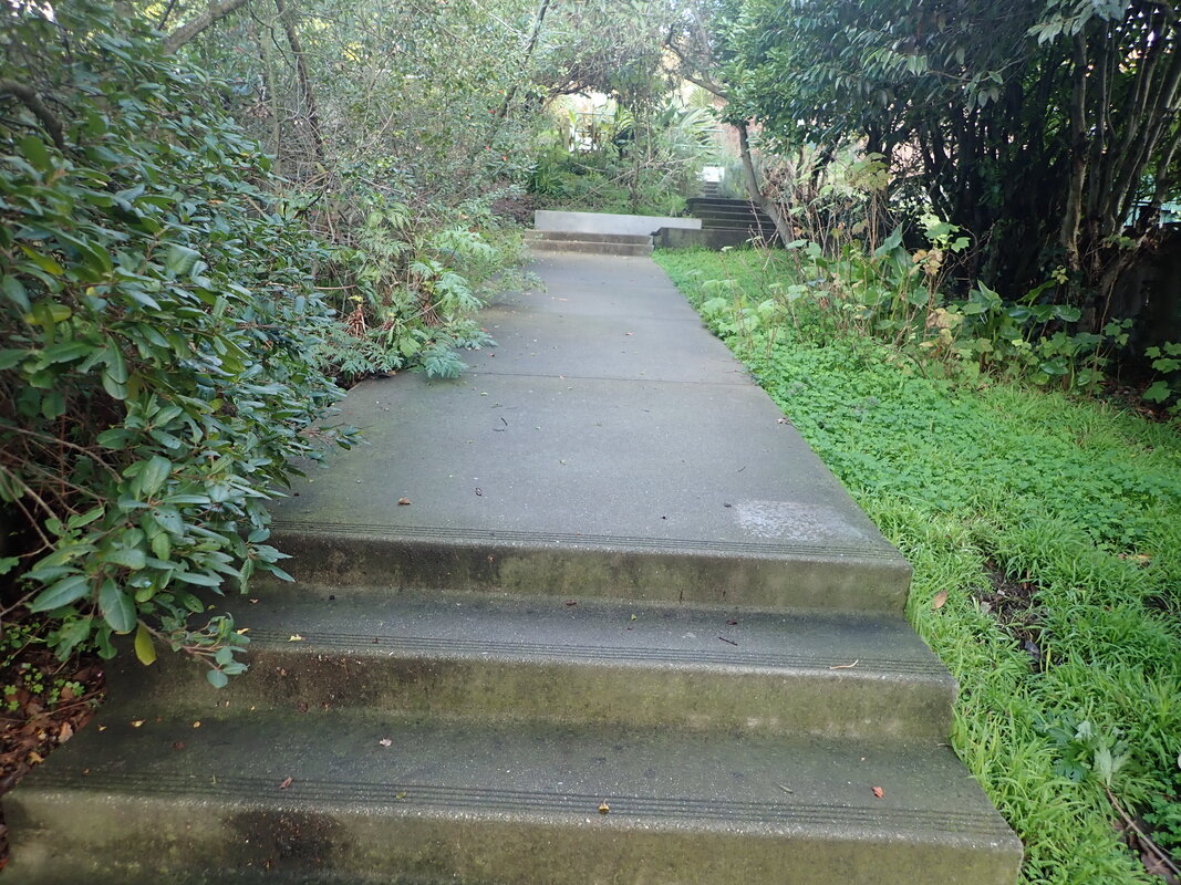
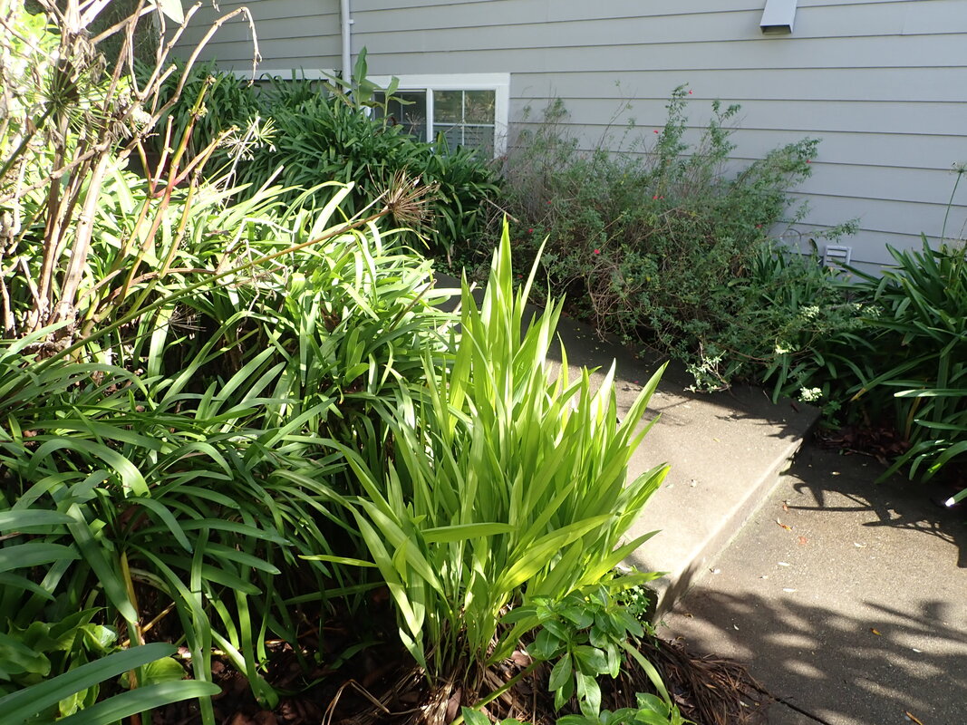
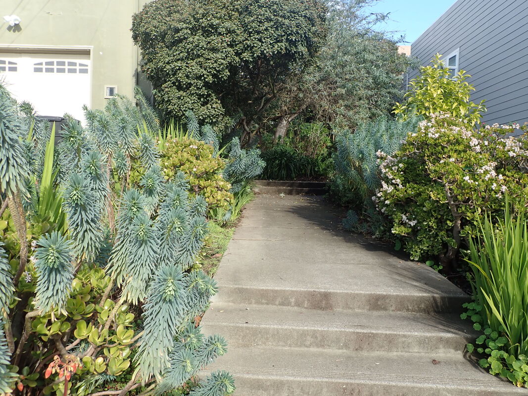
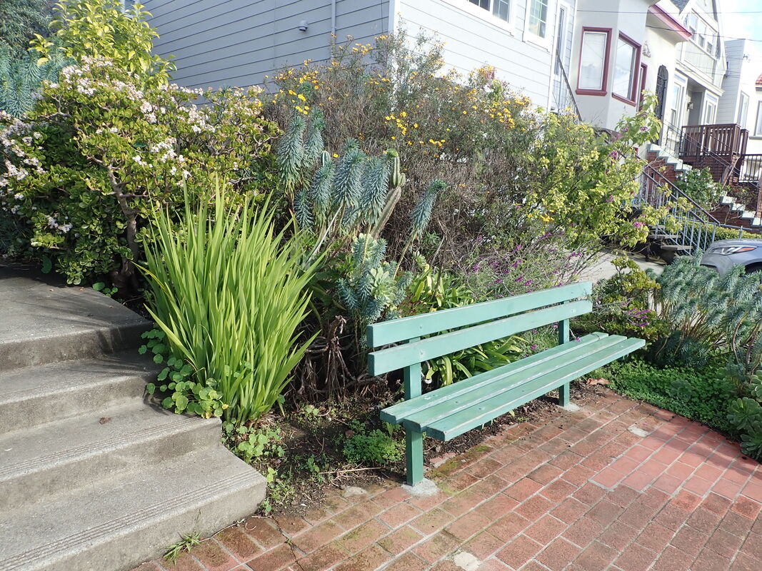
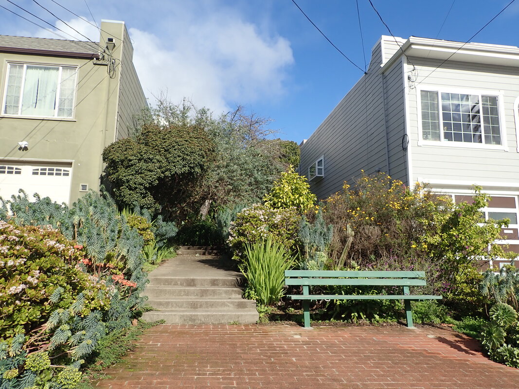
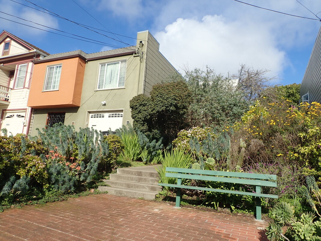
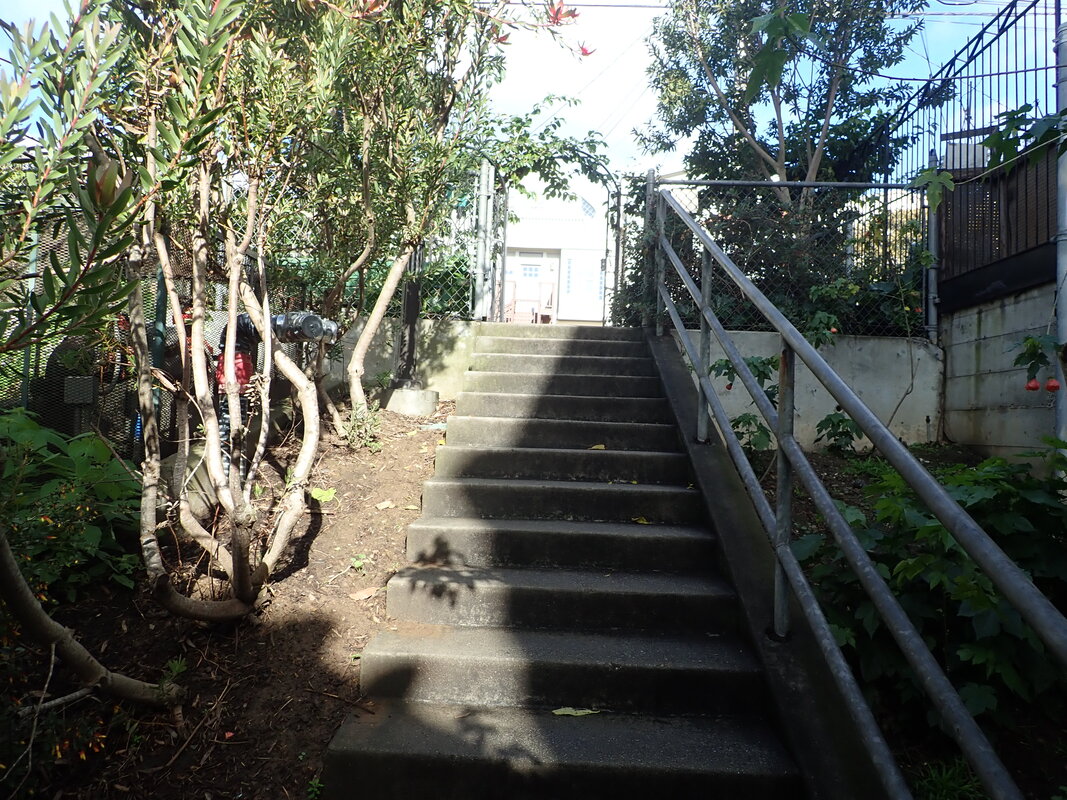
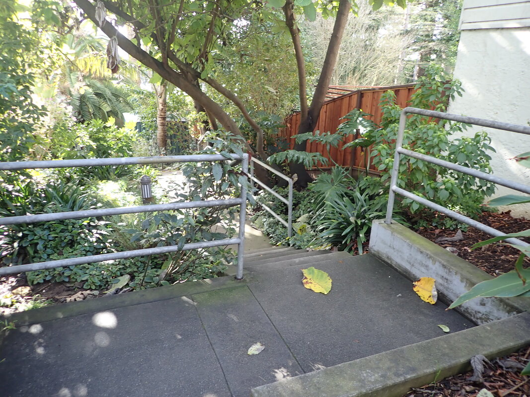
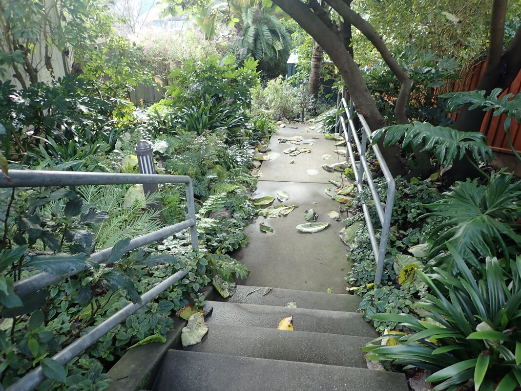
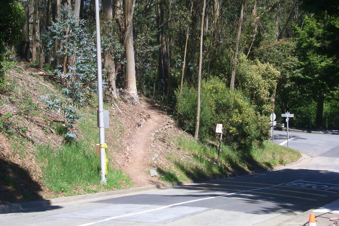
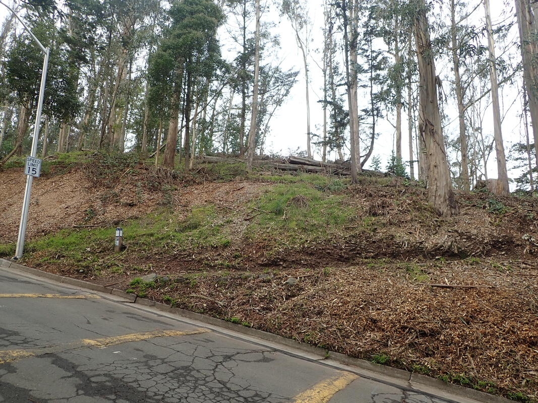
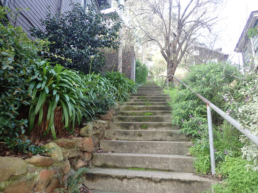
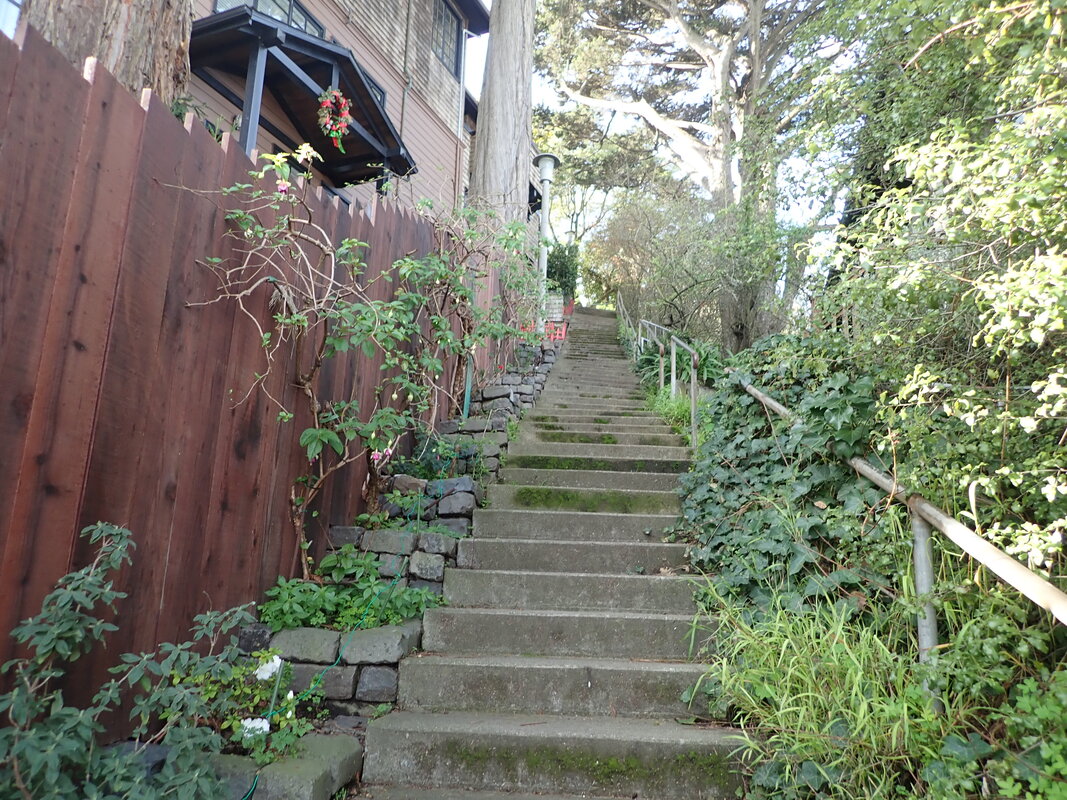
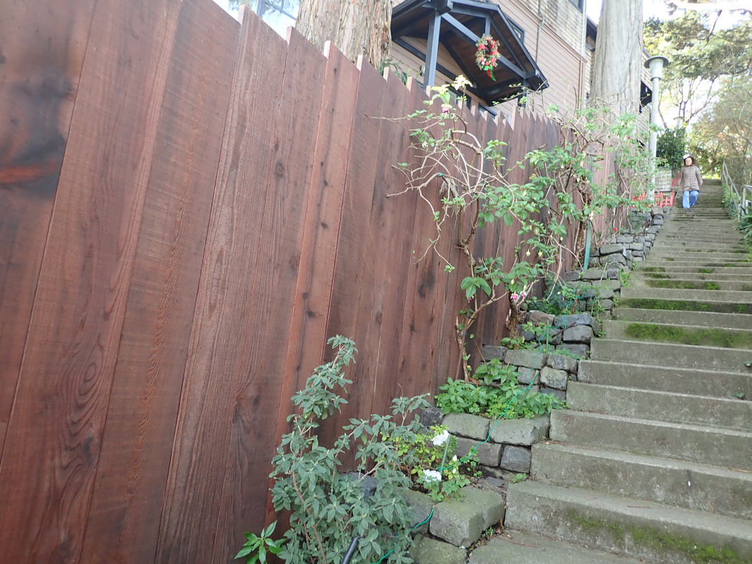
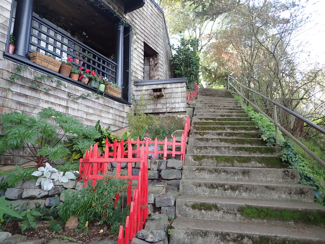
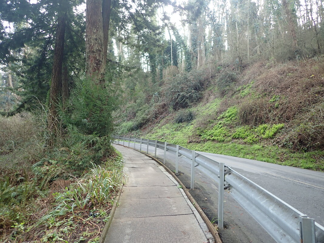
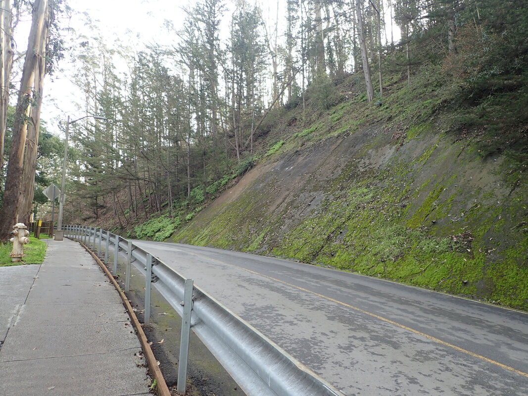
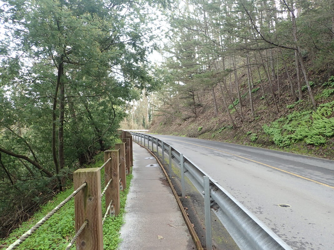
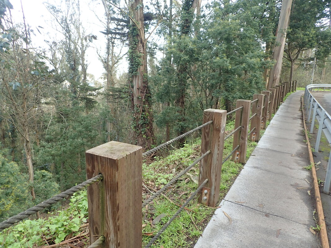
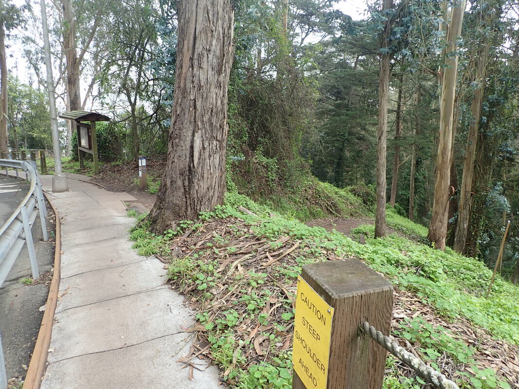
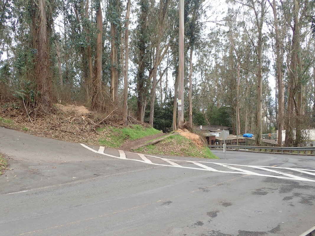
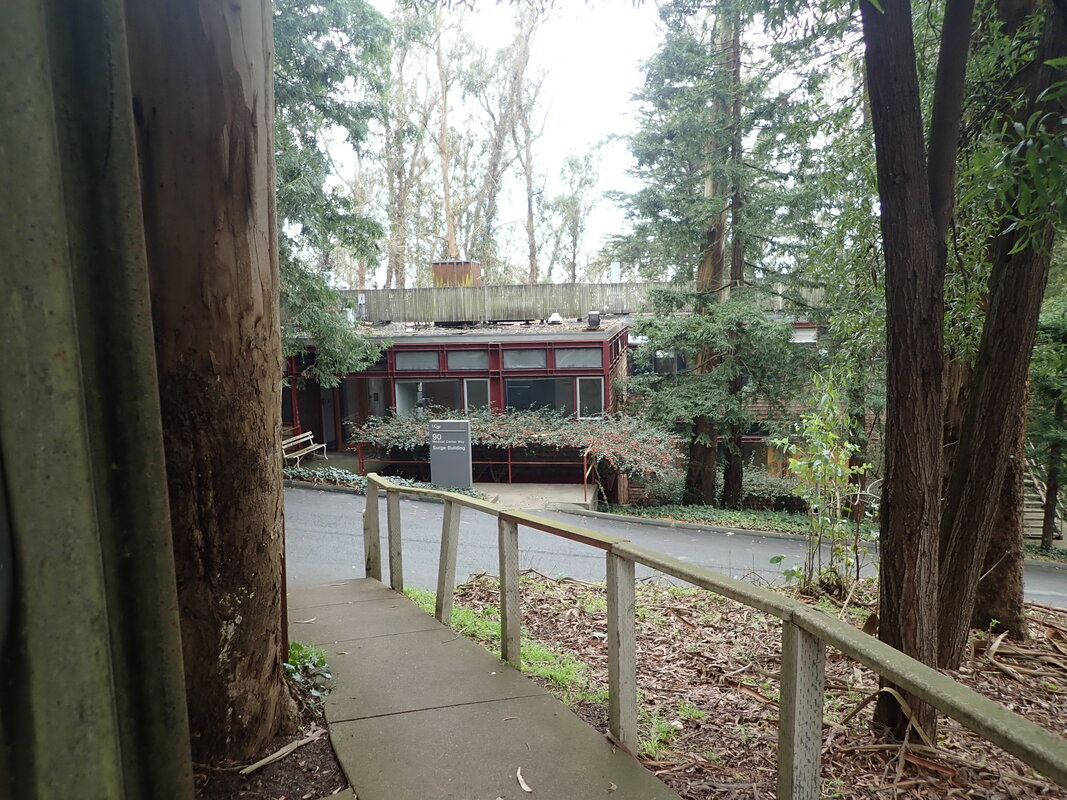
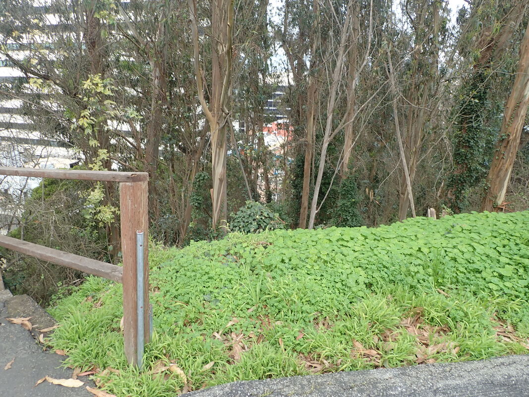
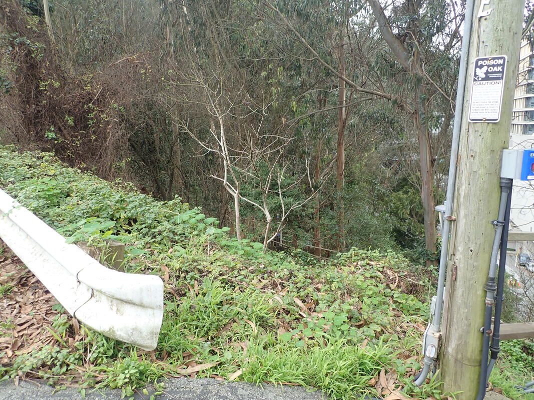
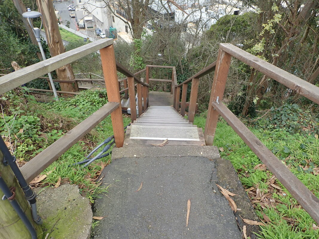
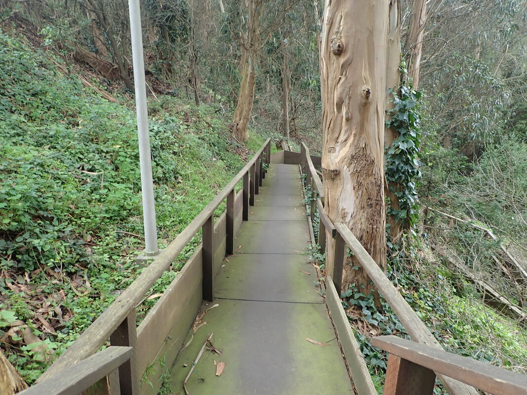
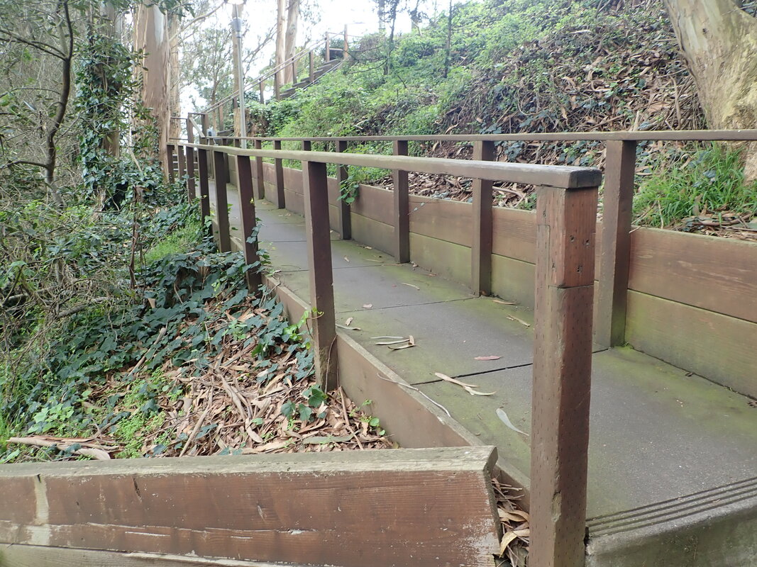
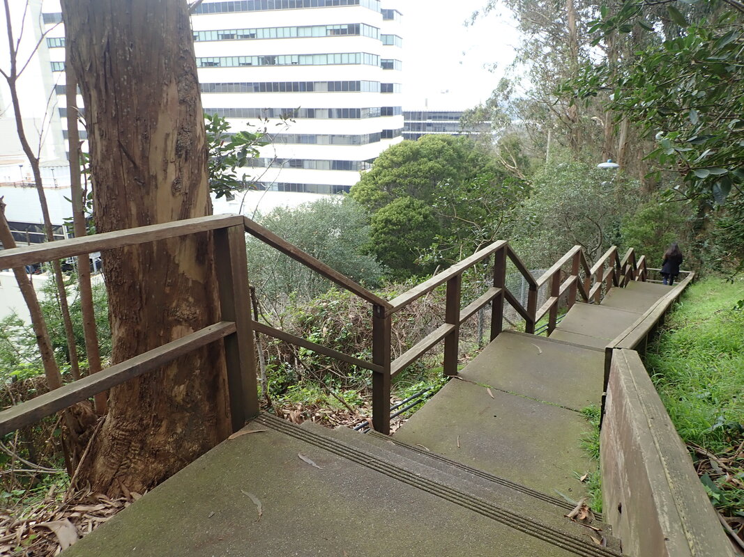
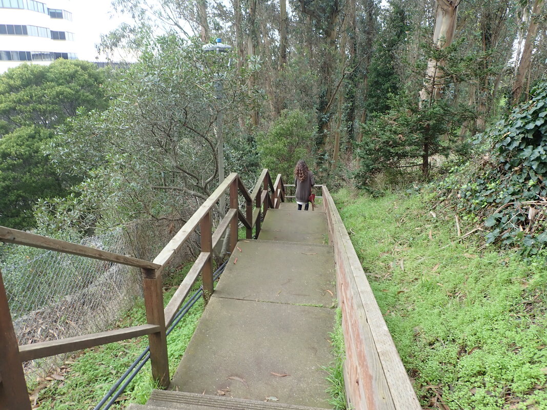
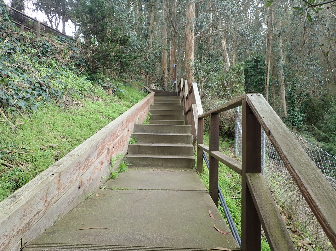
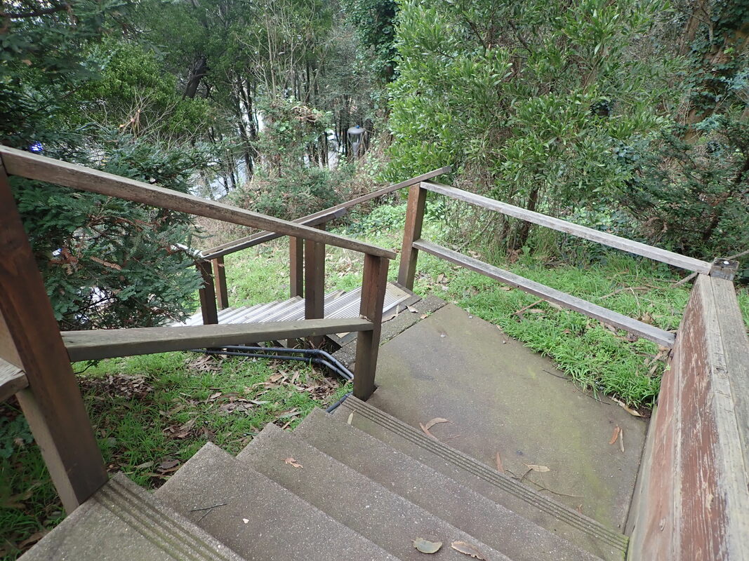
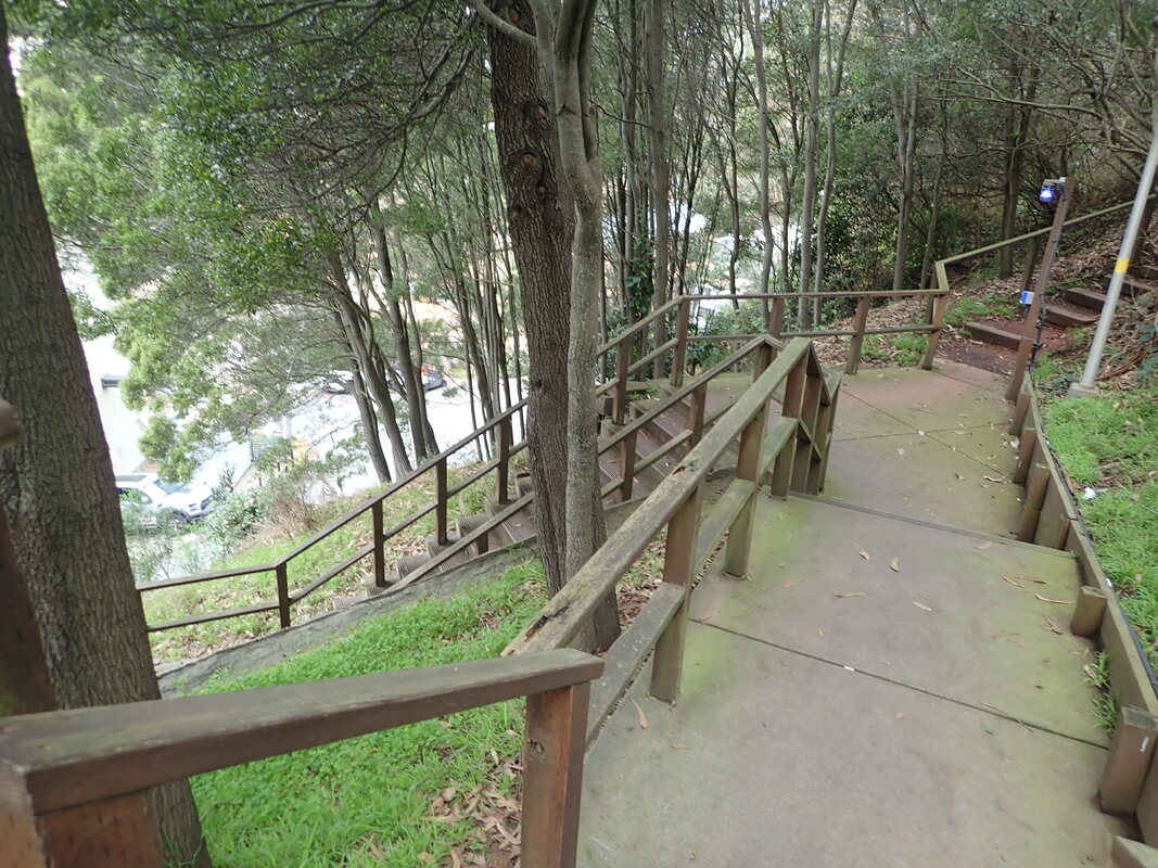
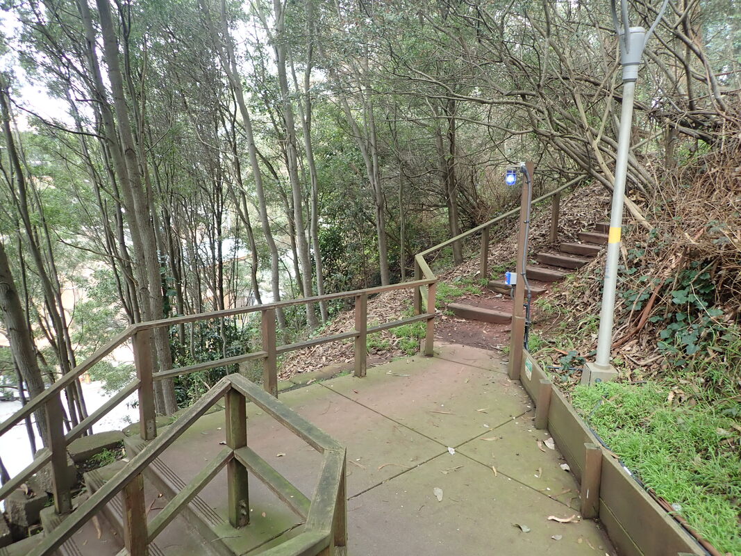
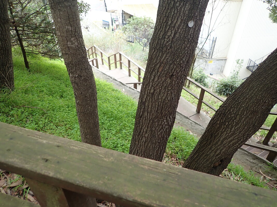
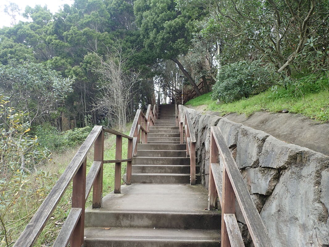
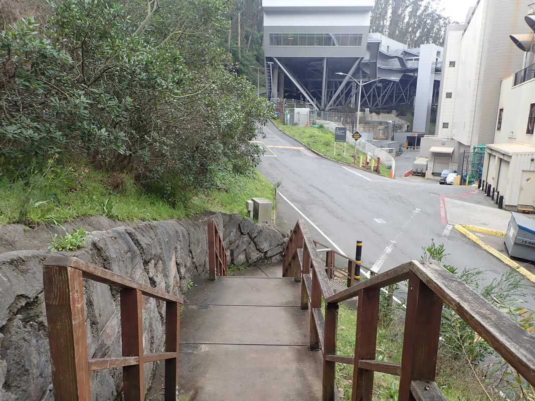
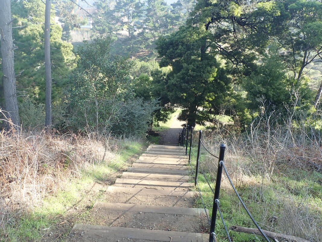
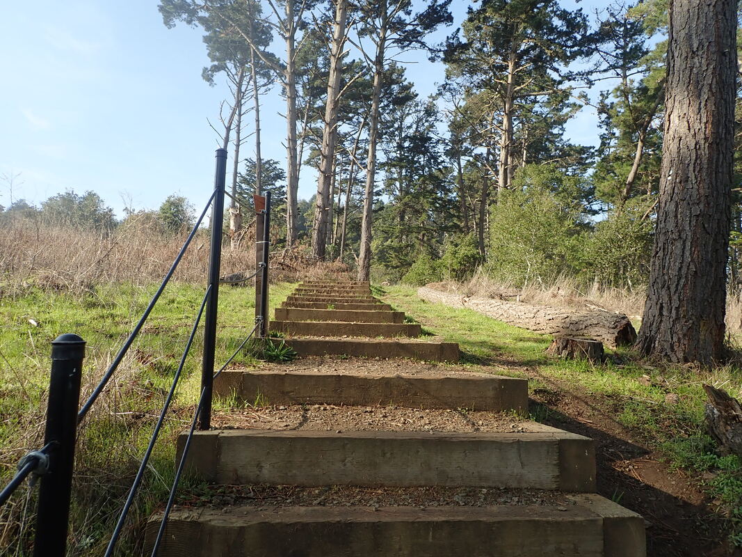
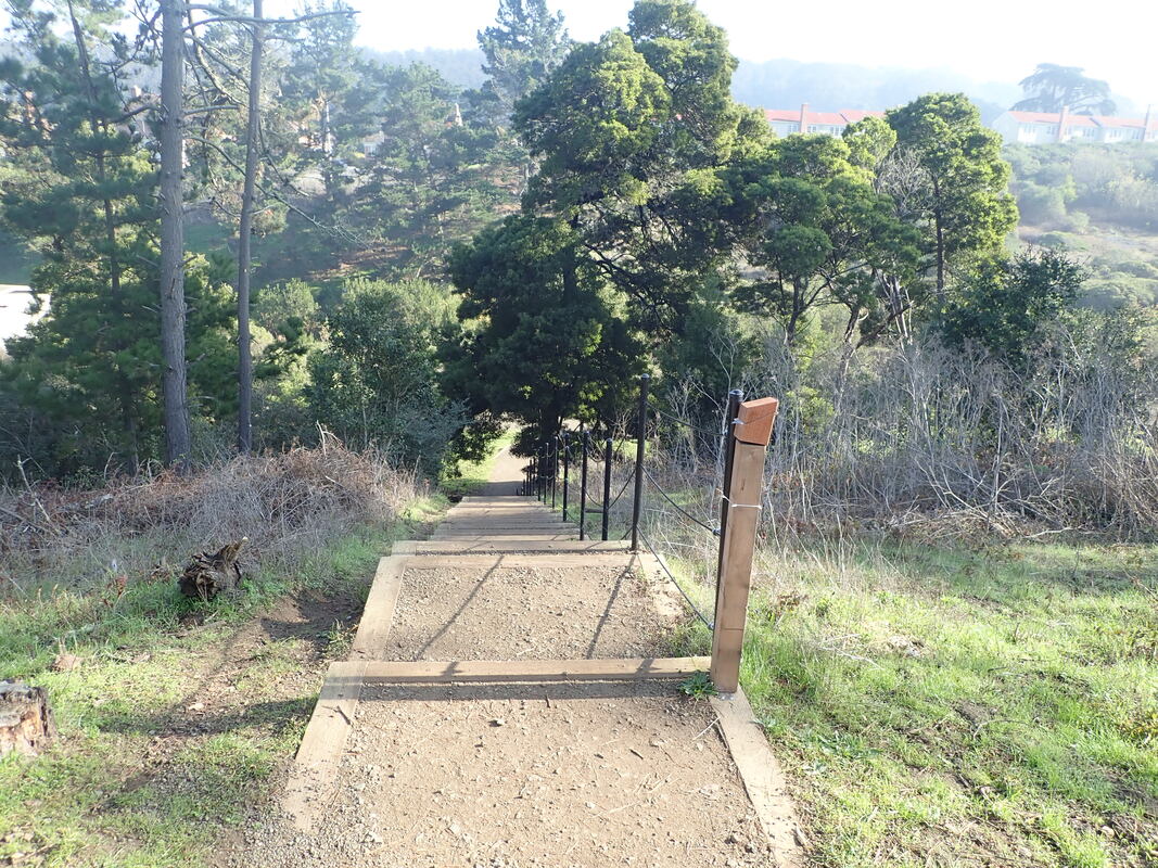
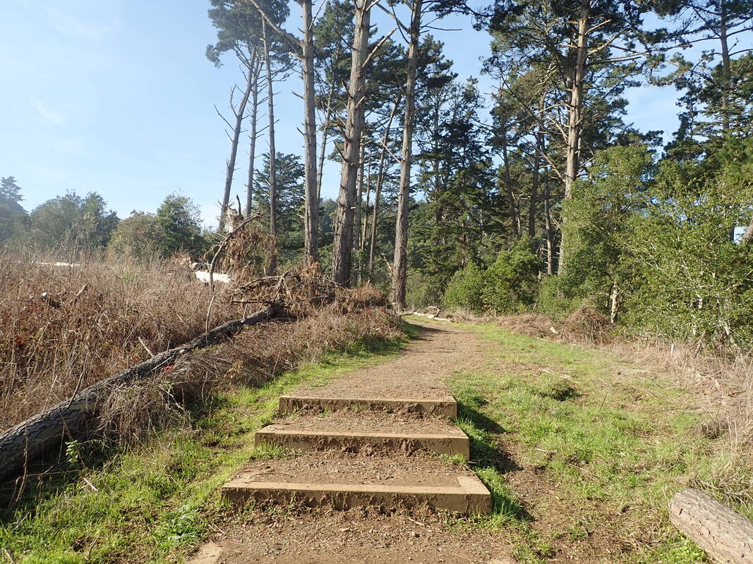
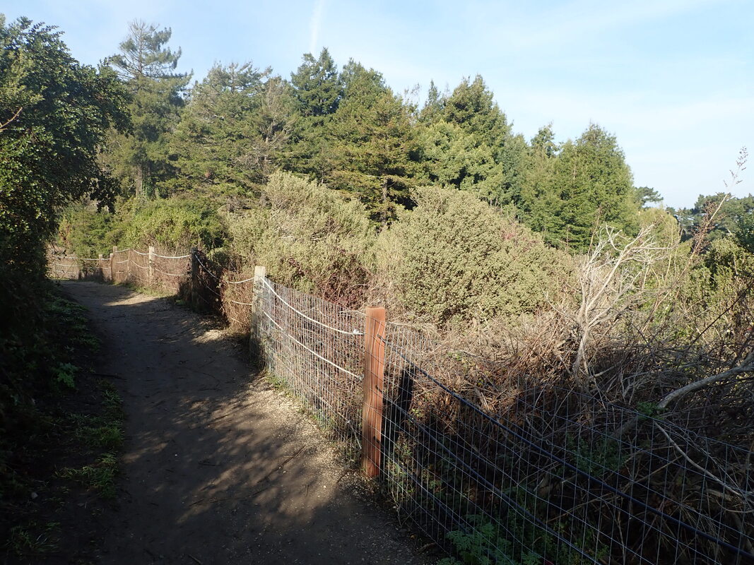
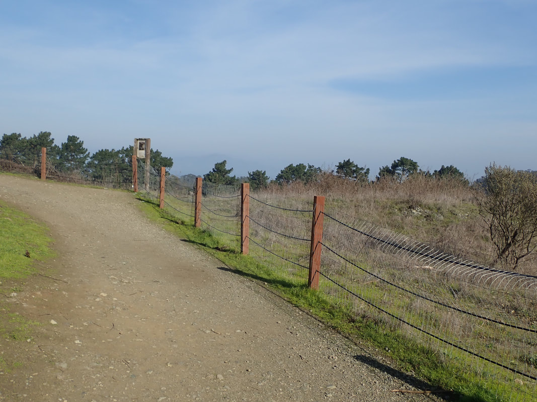
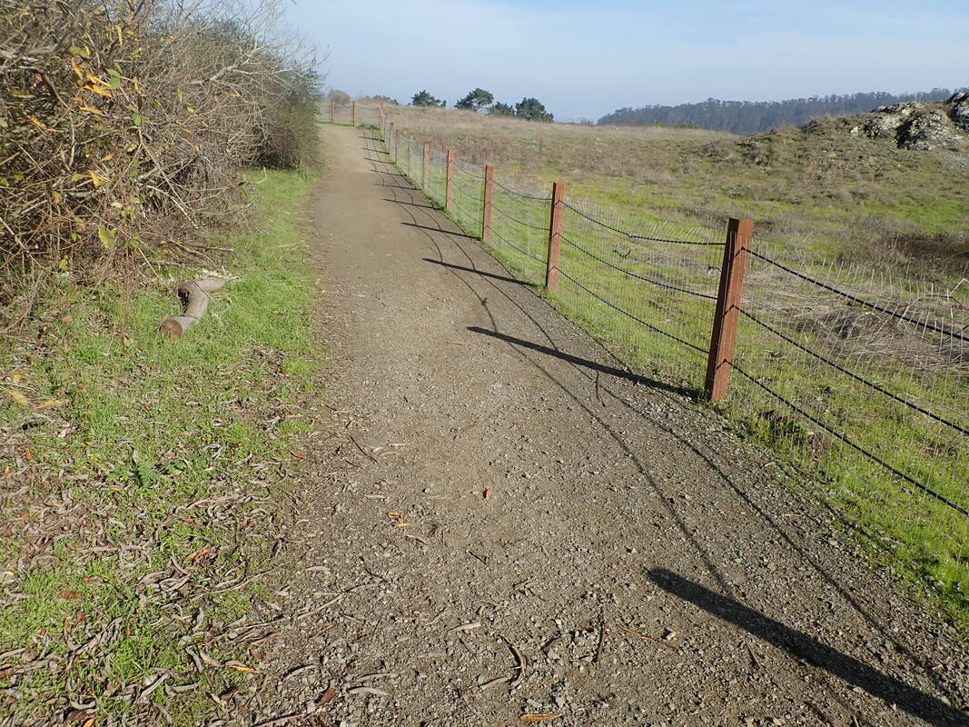
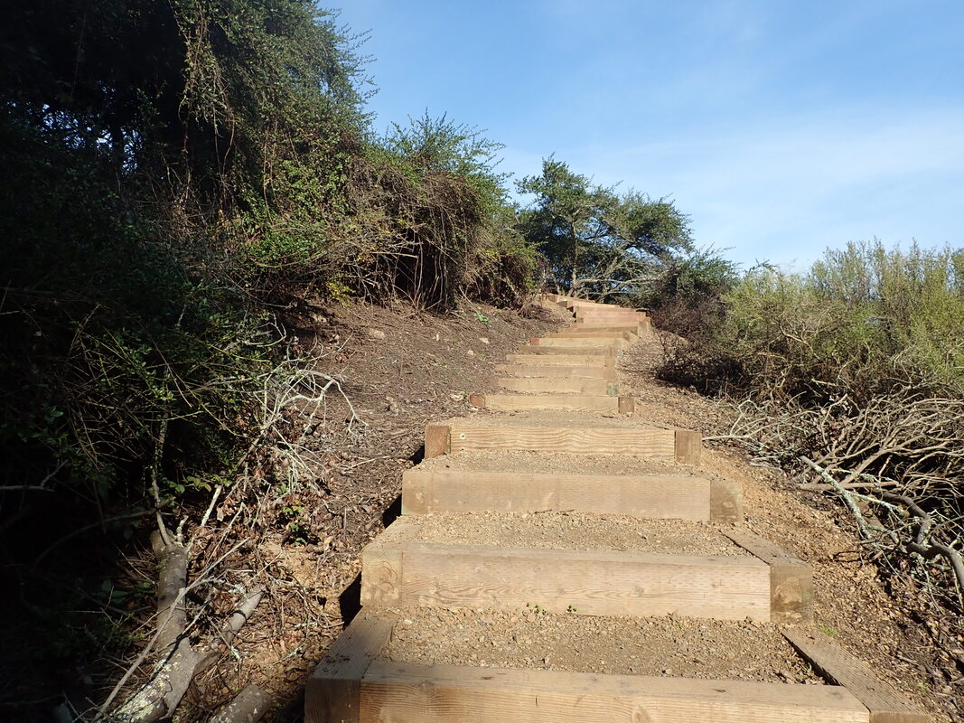
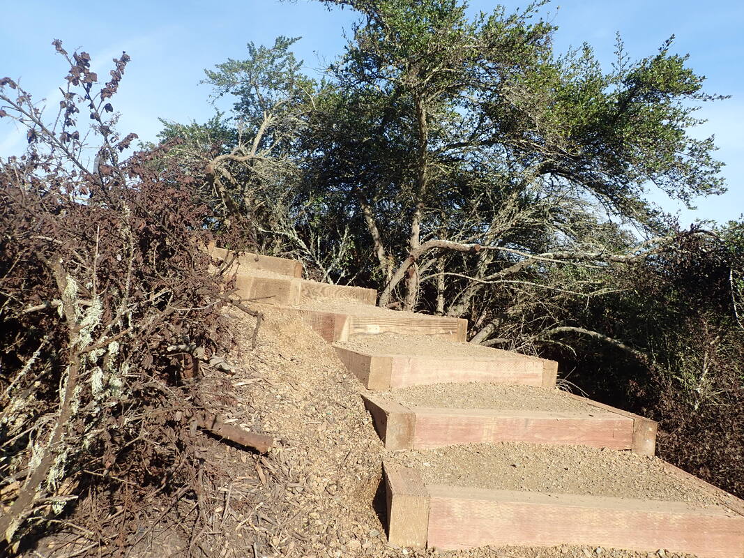
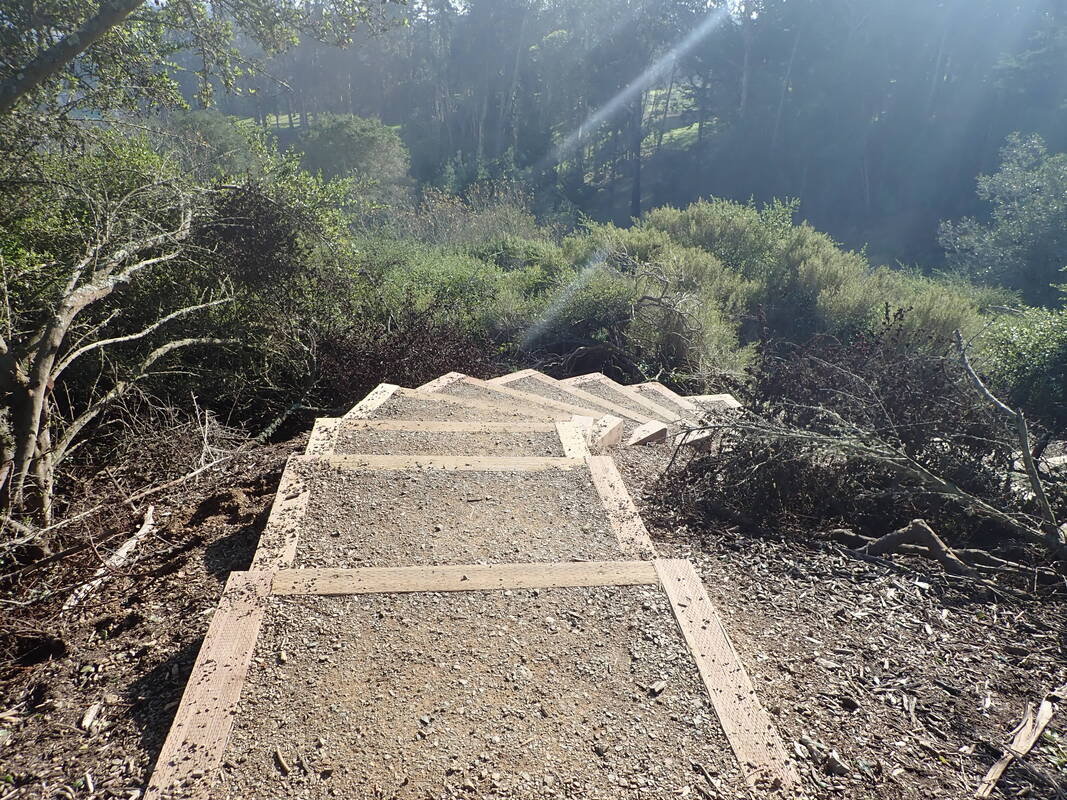
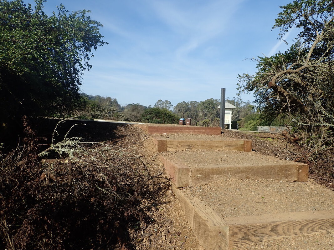
Trail and steps to Portola Dr.: 40 thru 55
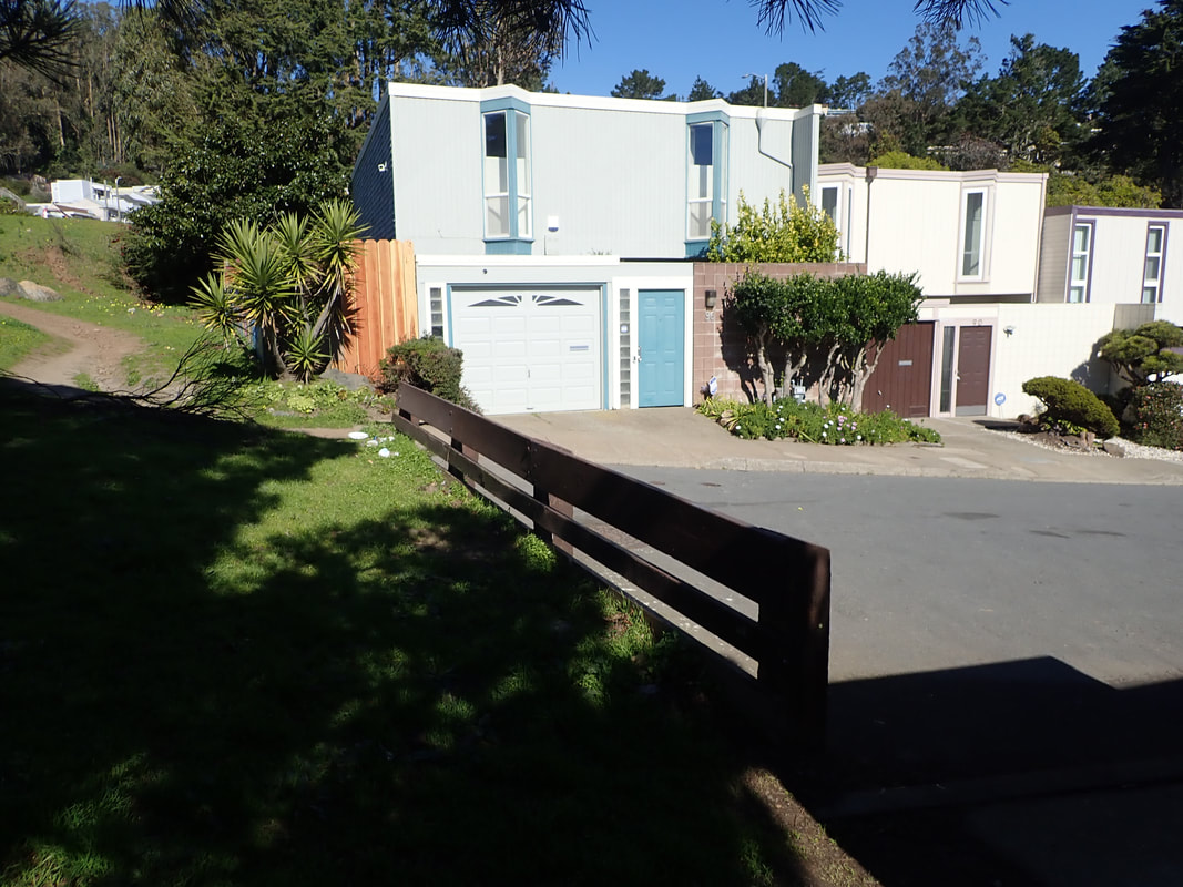
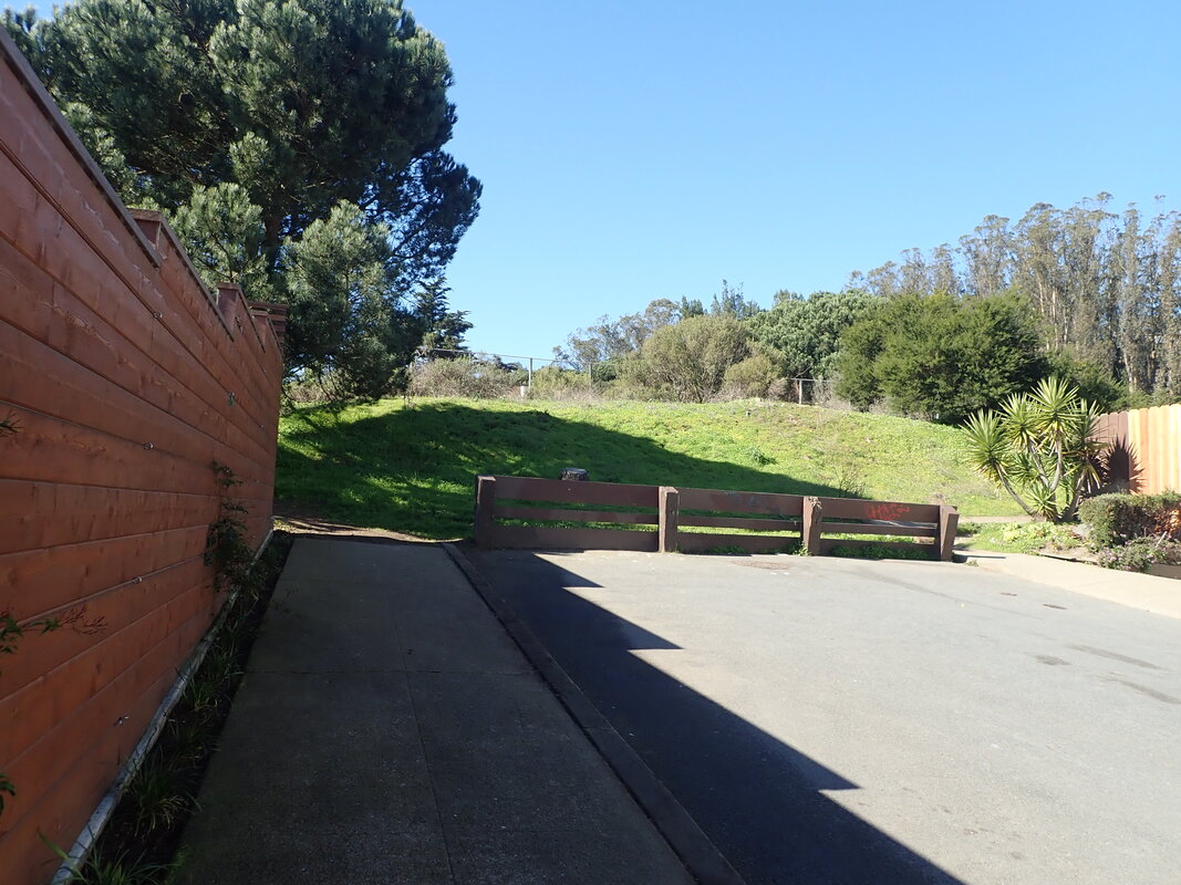
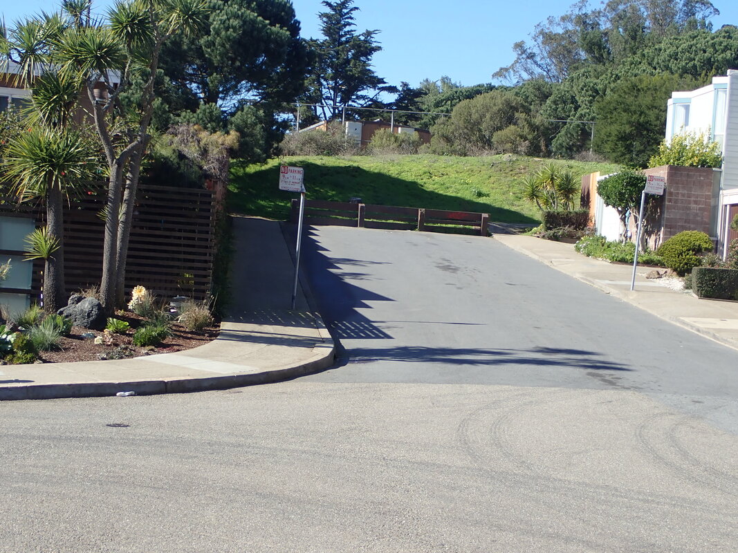
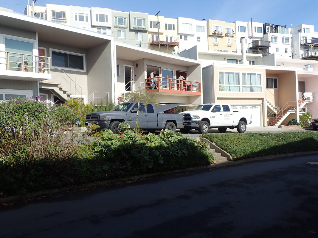
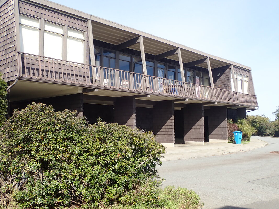
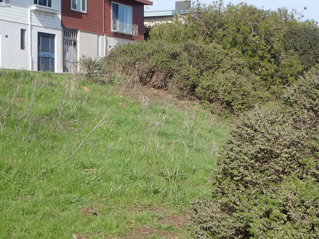
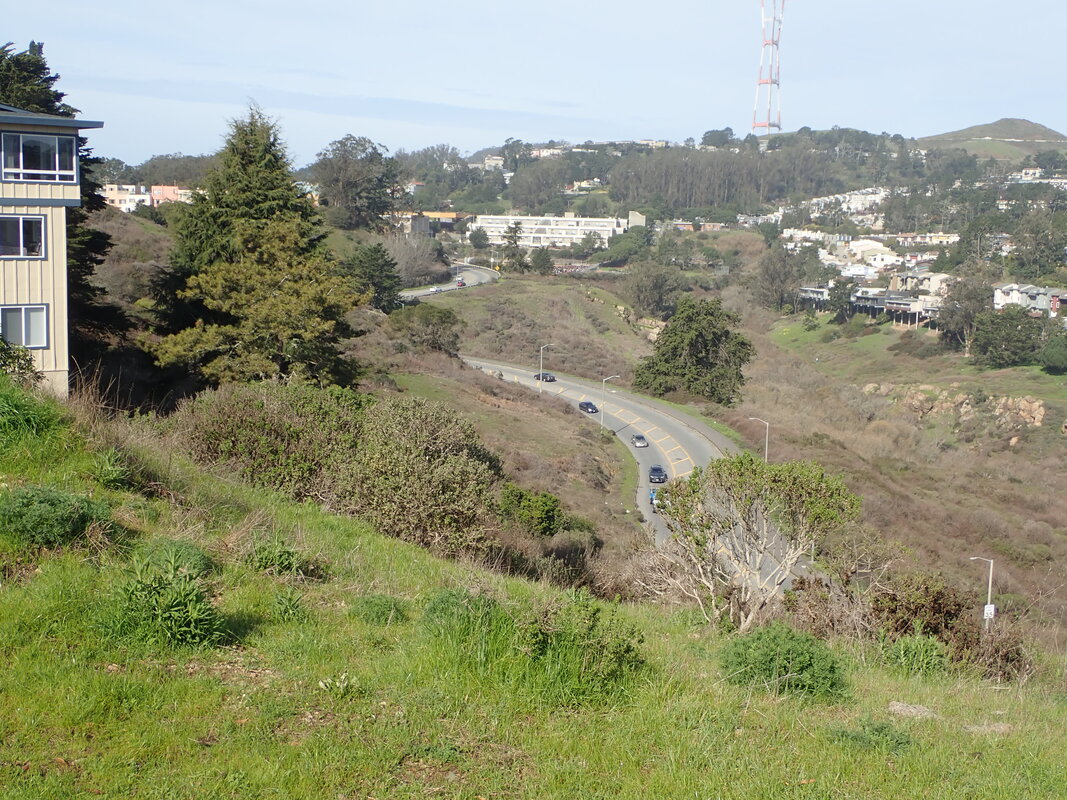
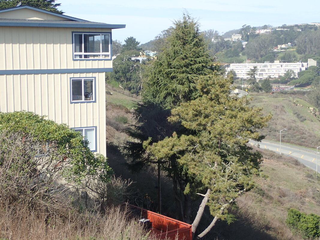
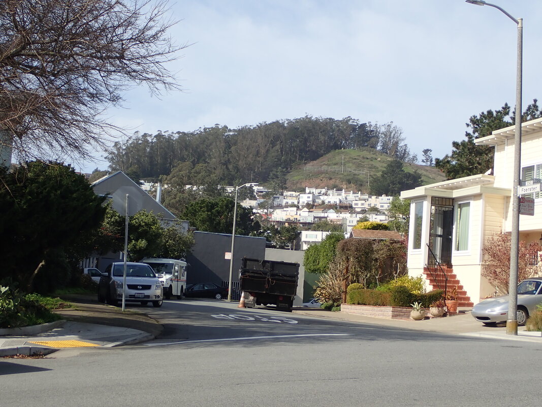
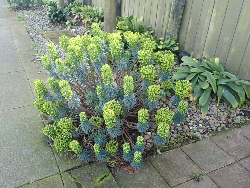
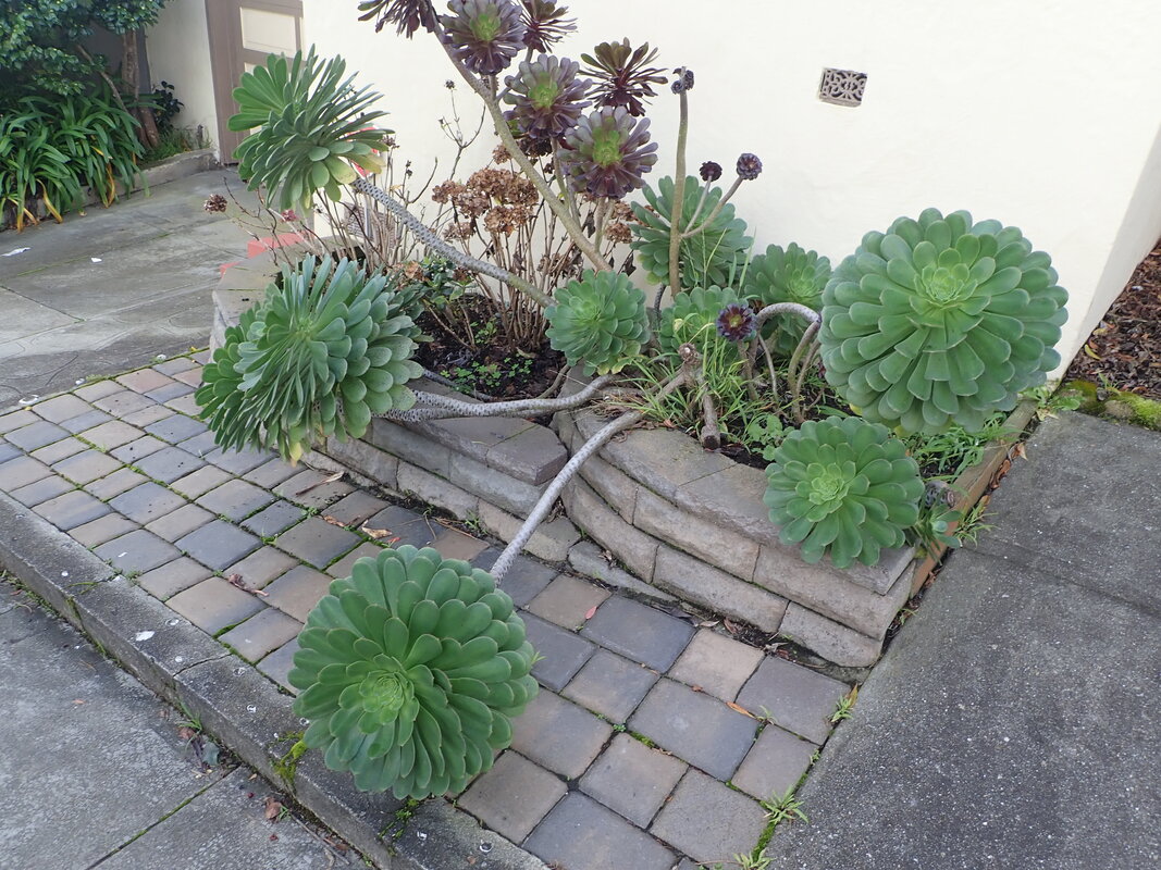
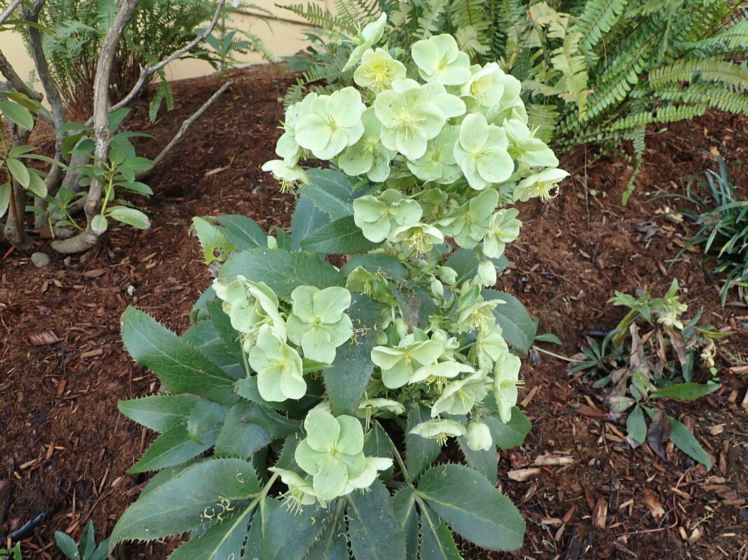
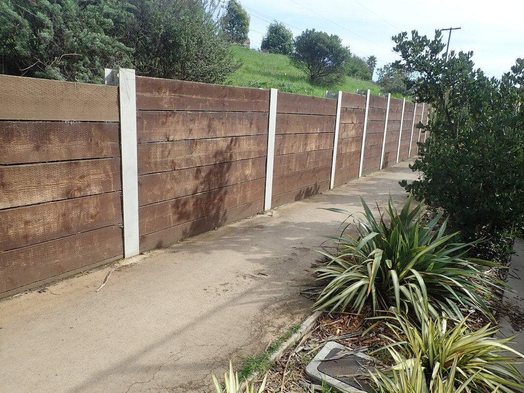
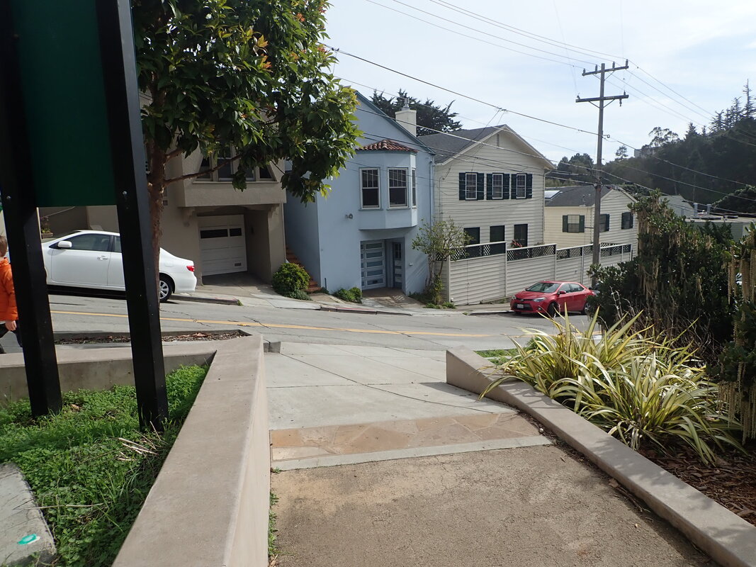
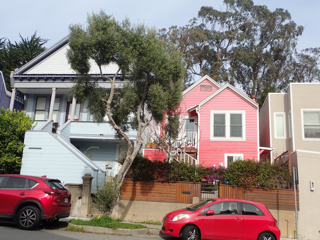
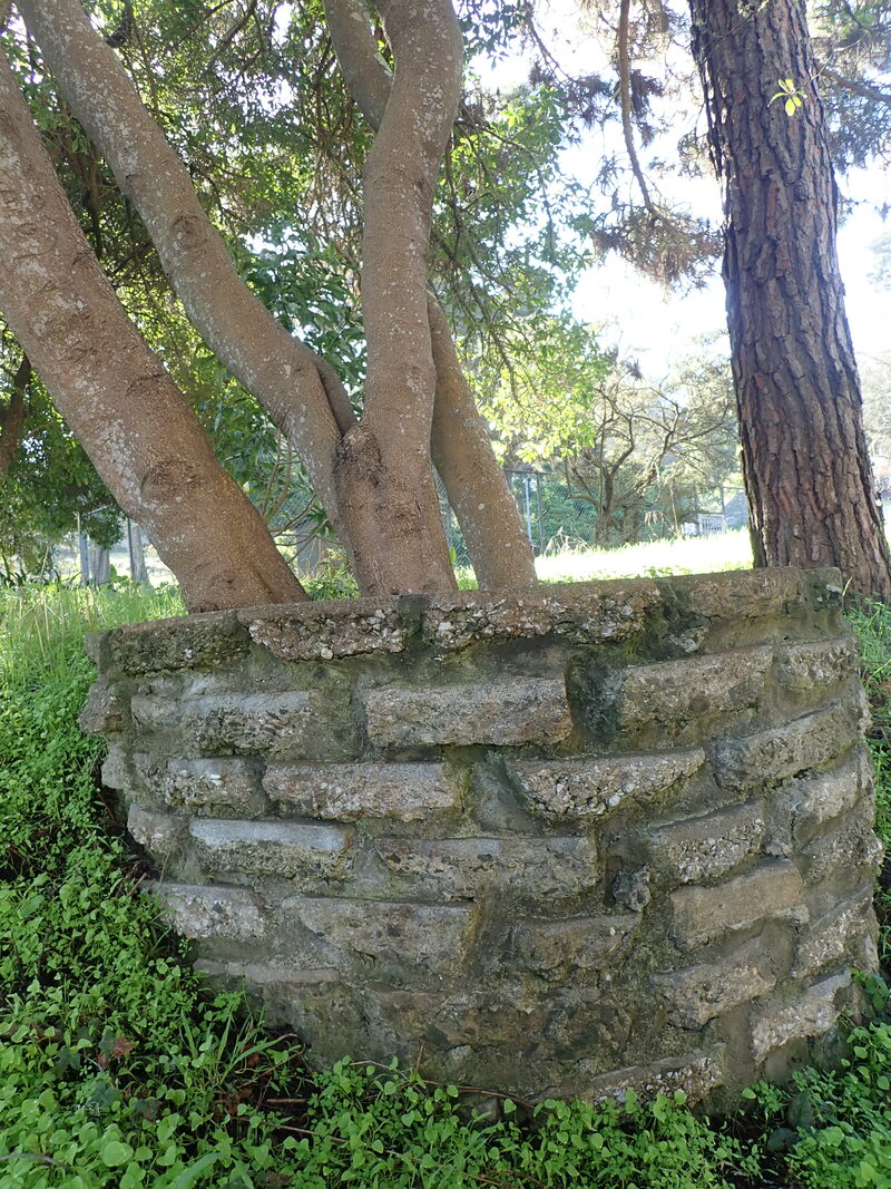
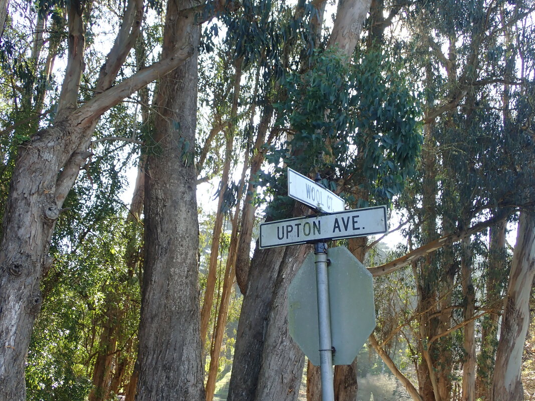
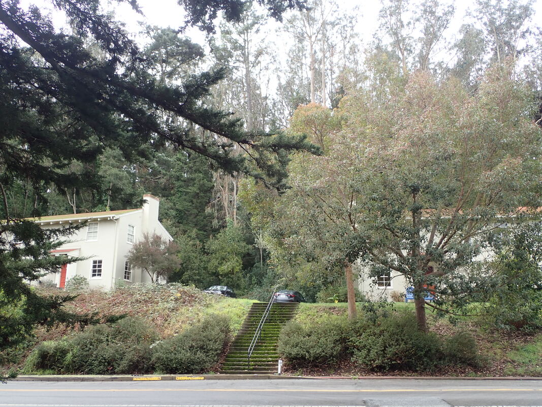
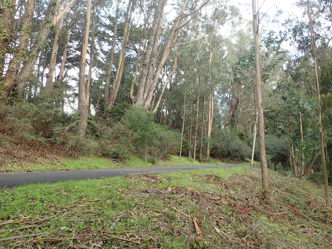
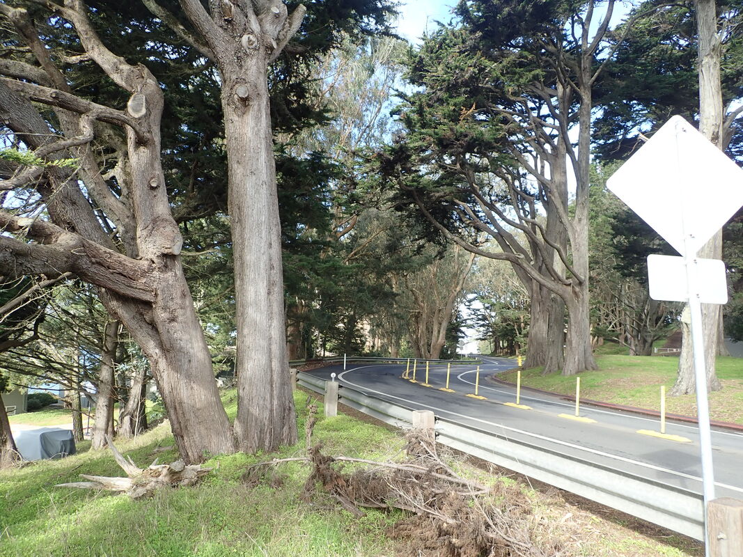
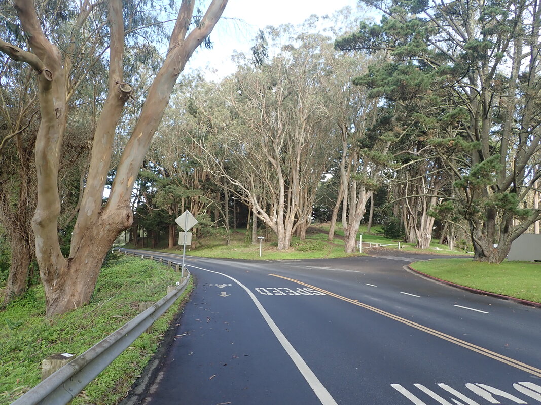
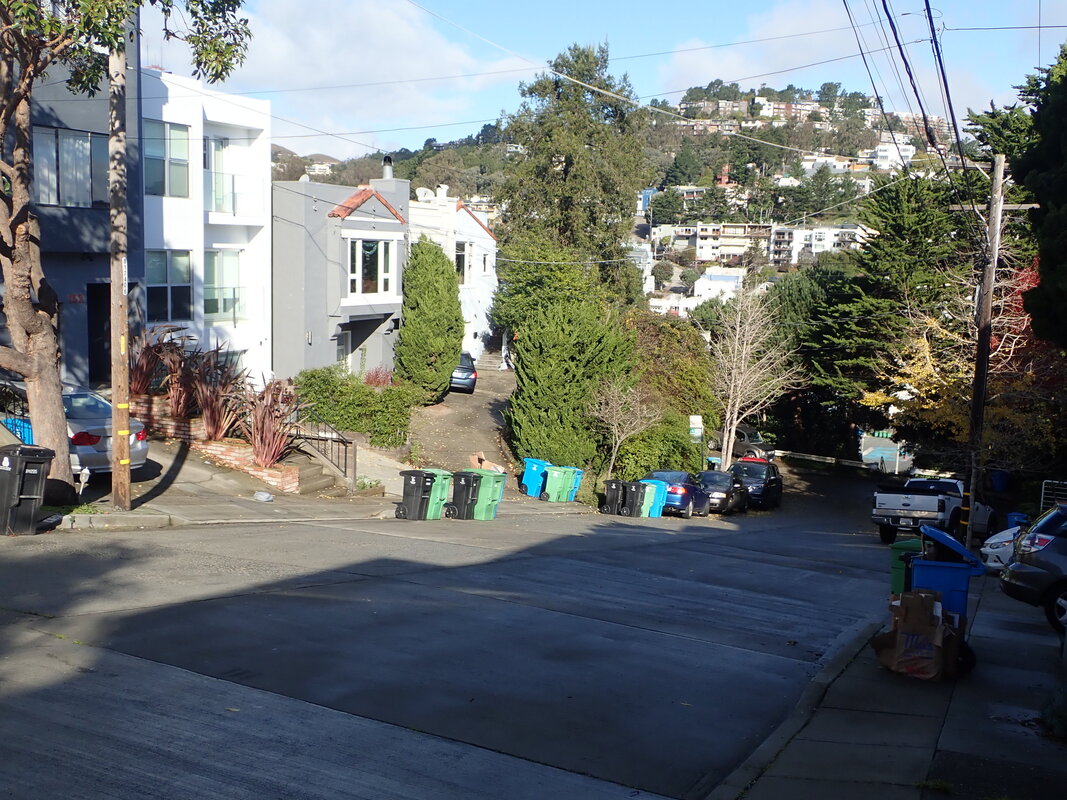
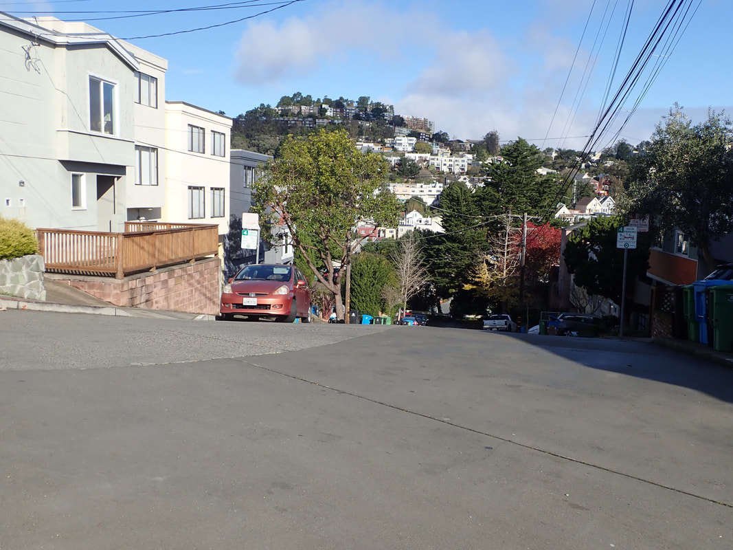
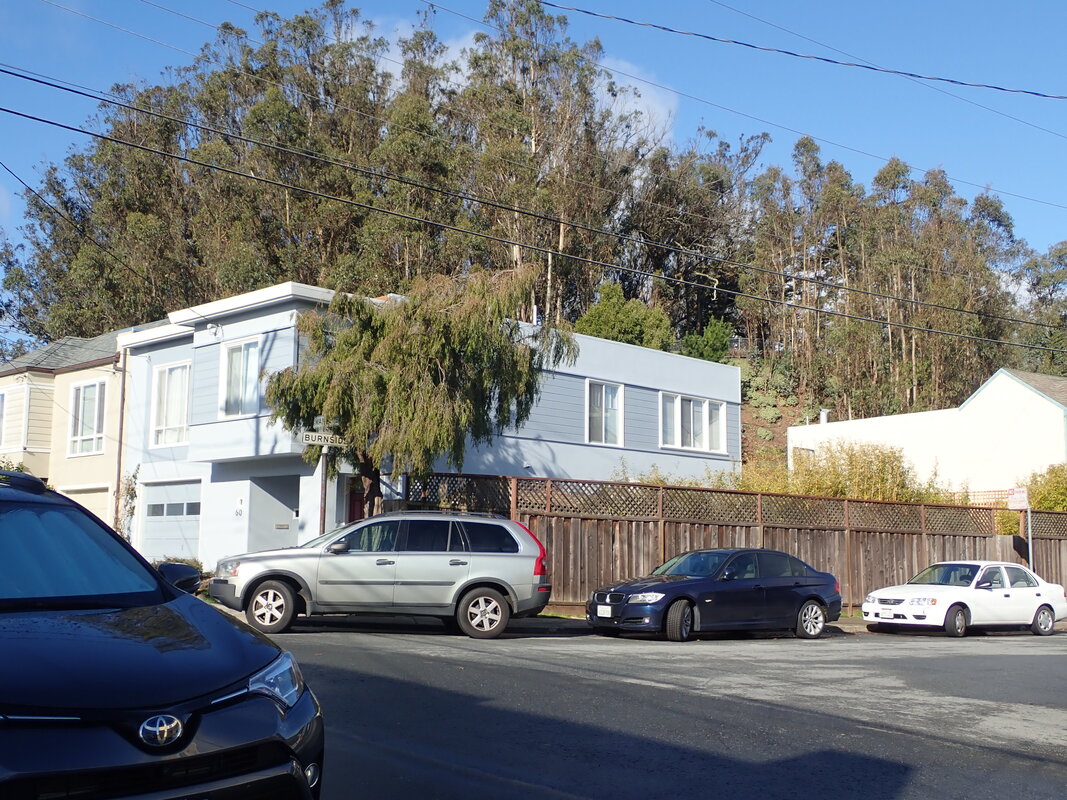
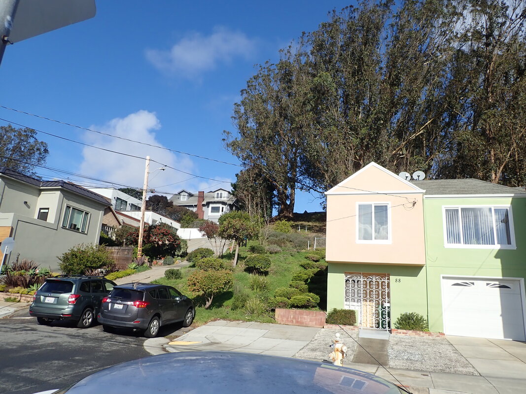
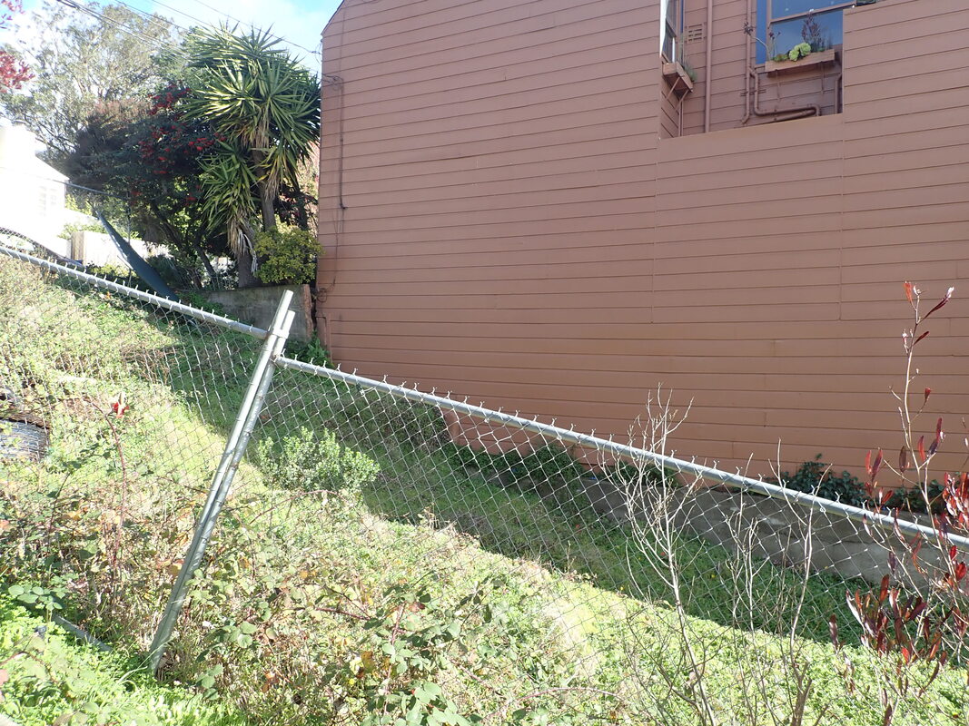
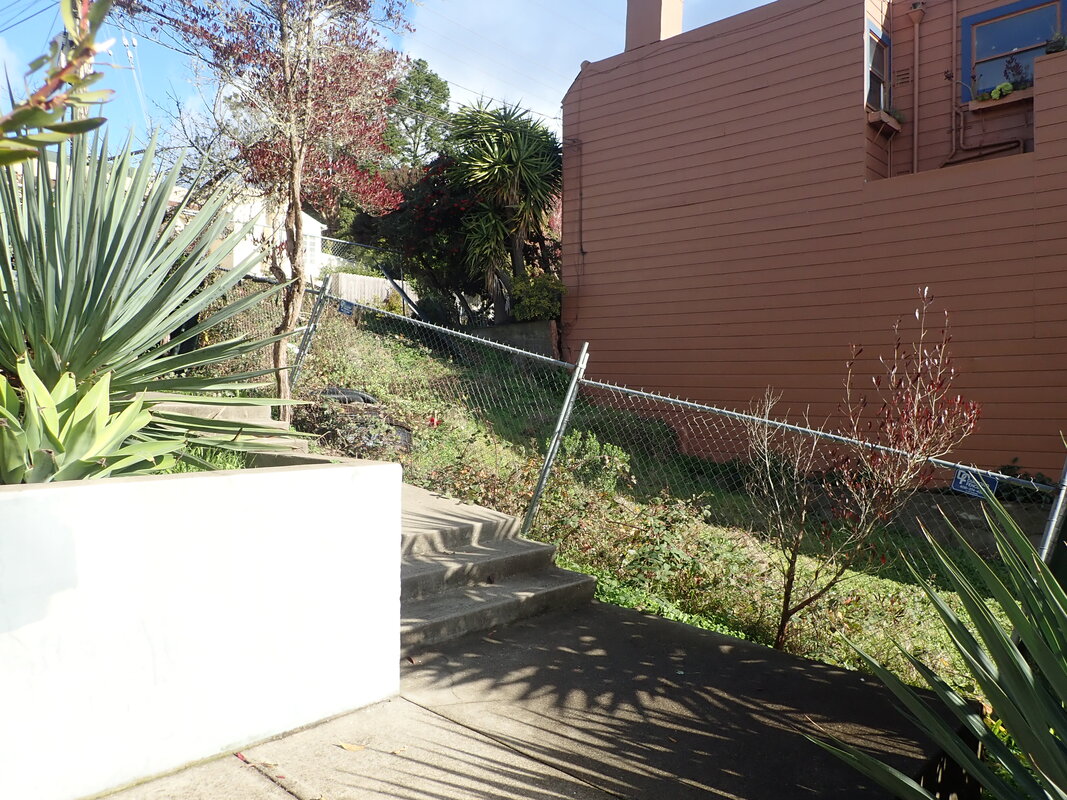
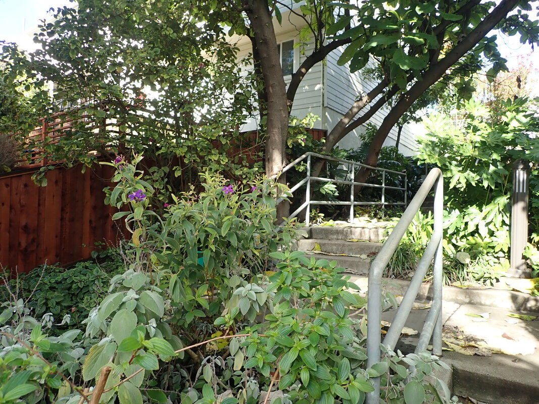
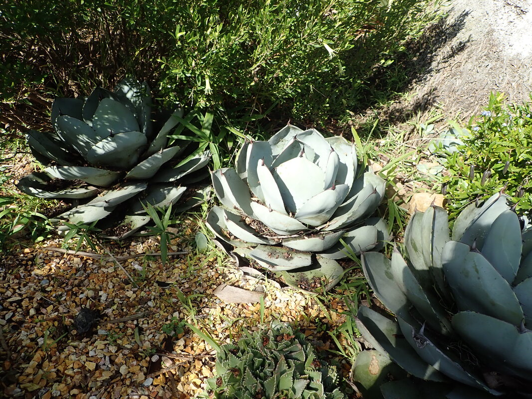
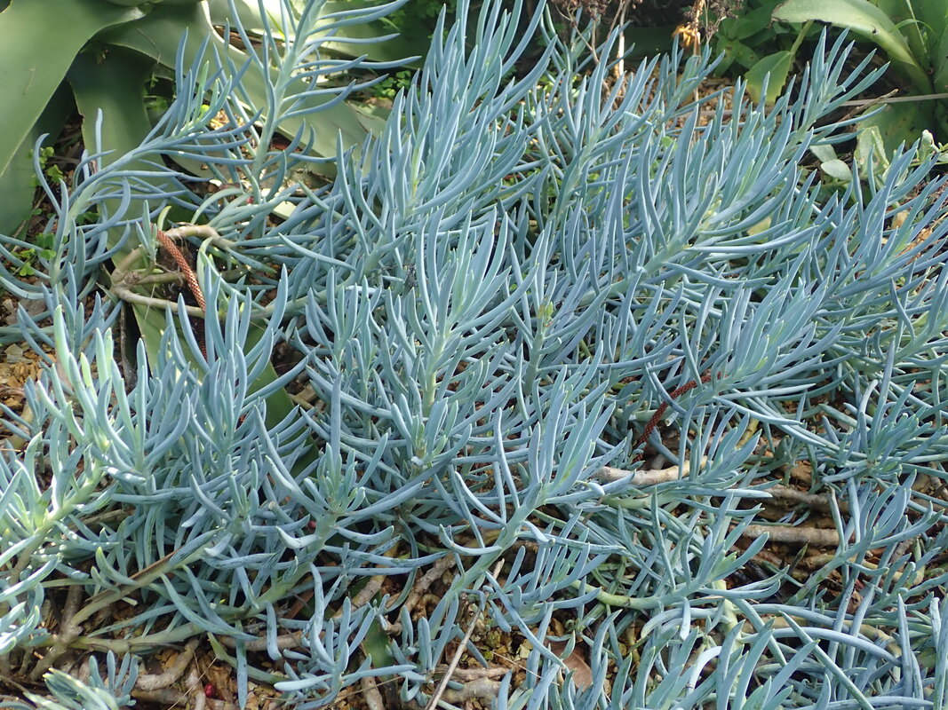
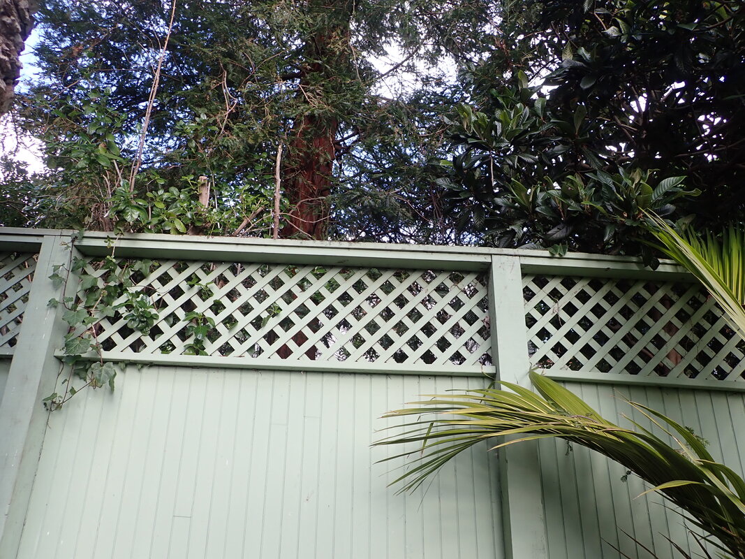
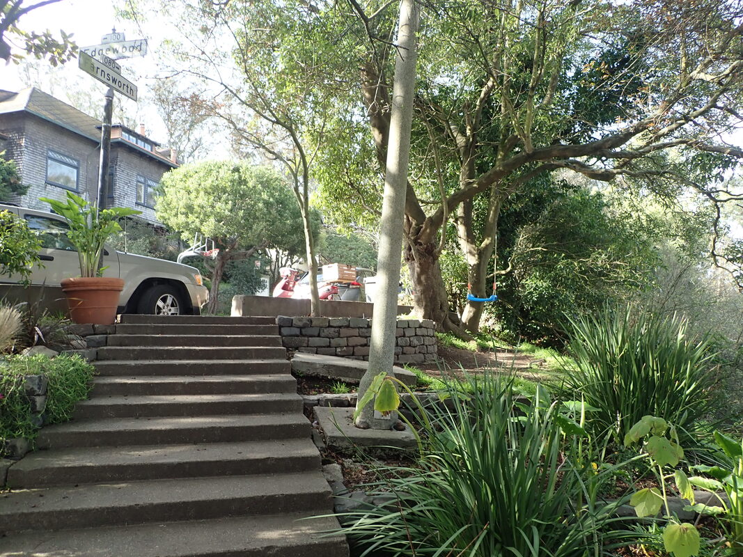
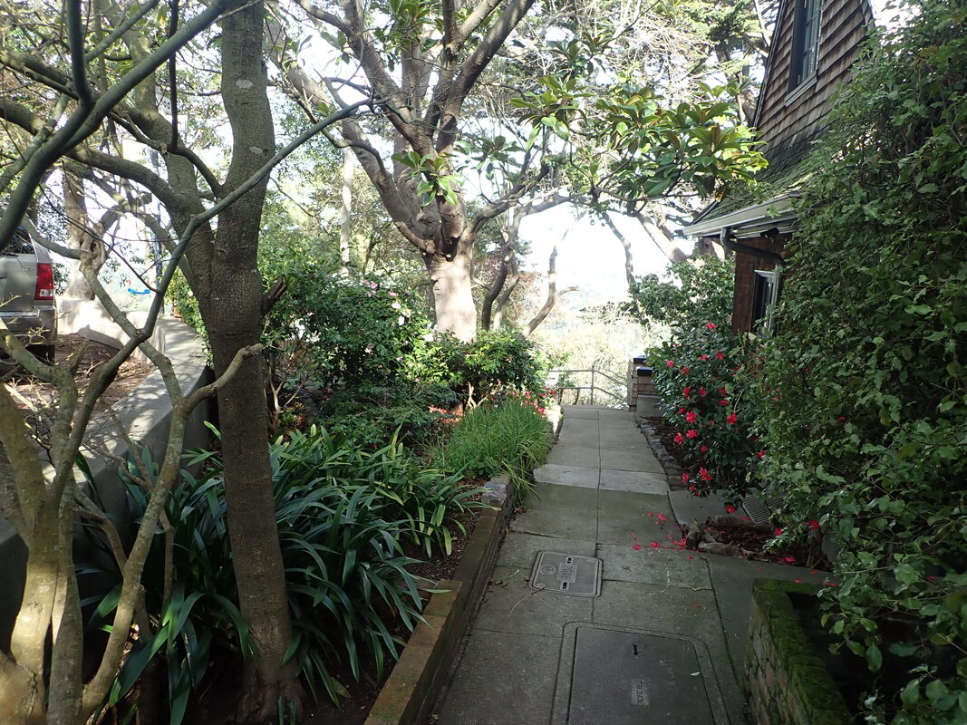
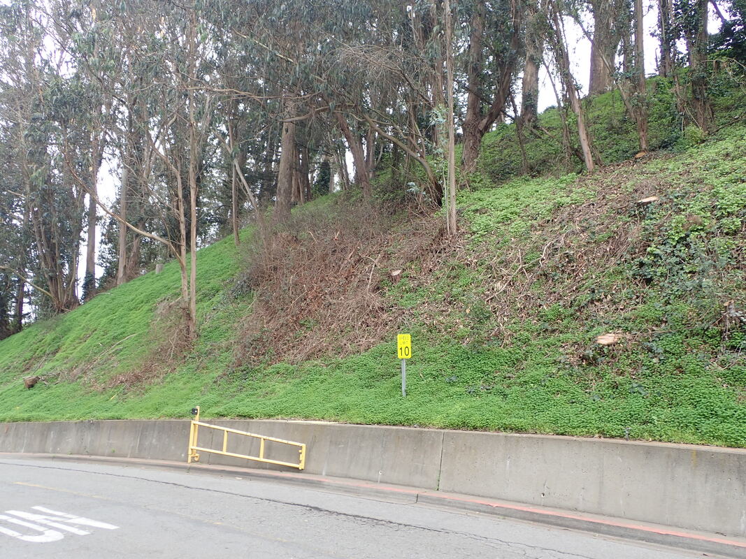
Down to in Ametyst in Diamond Heights: 56 thru 59
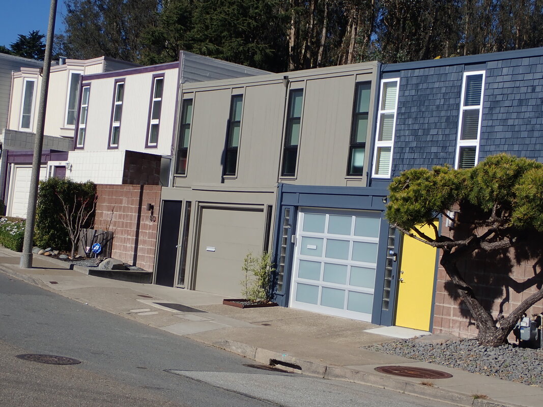
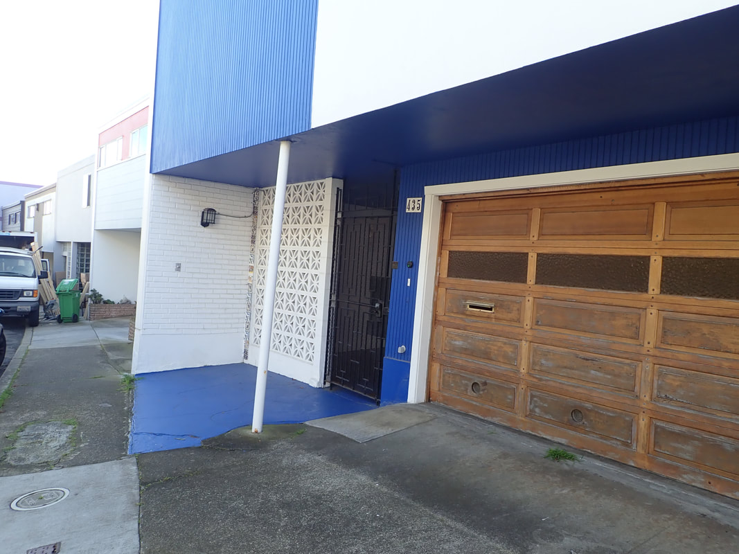
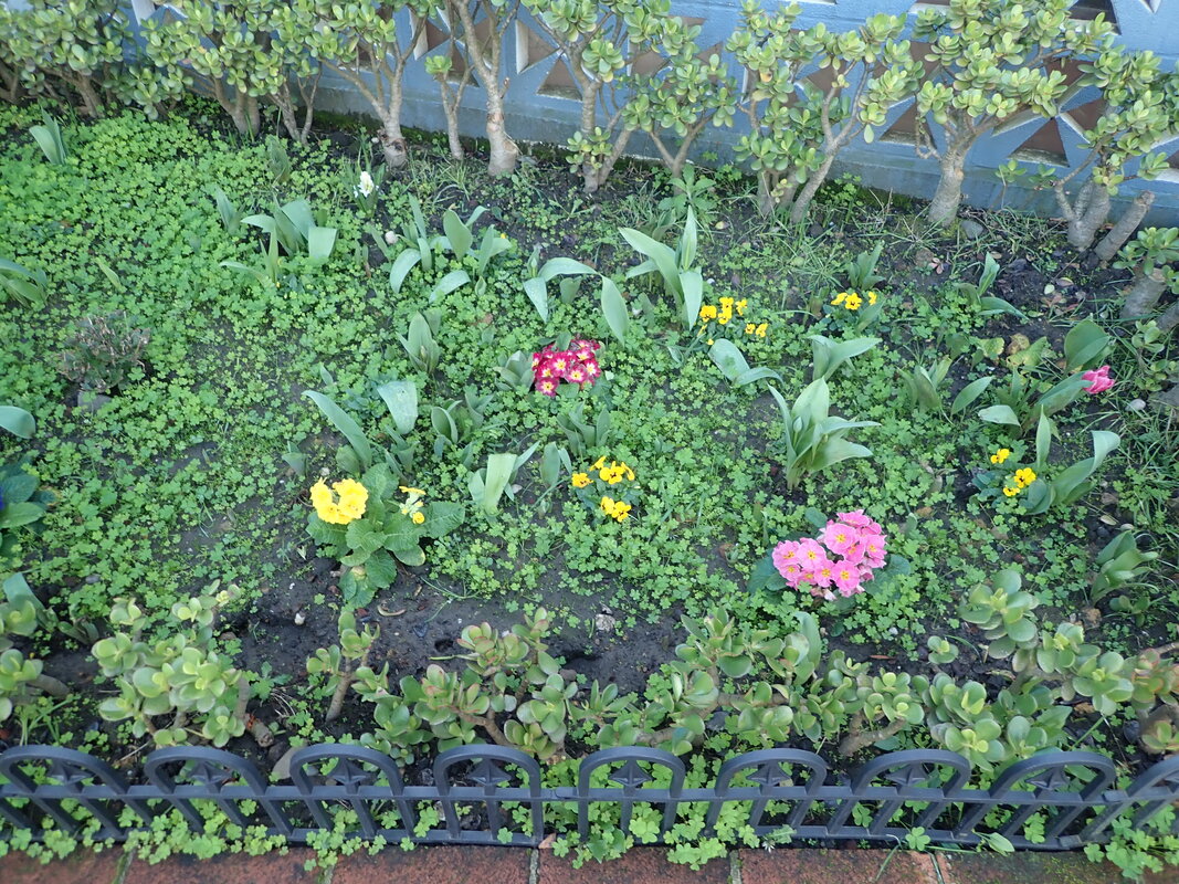
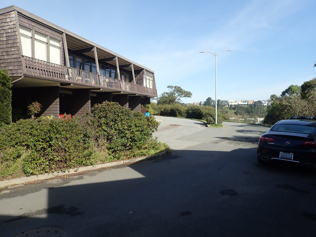
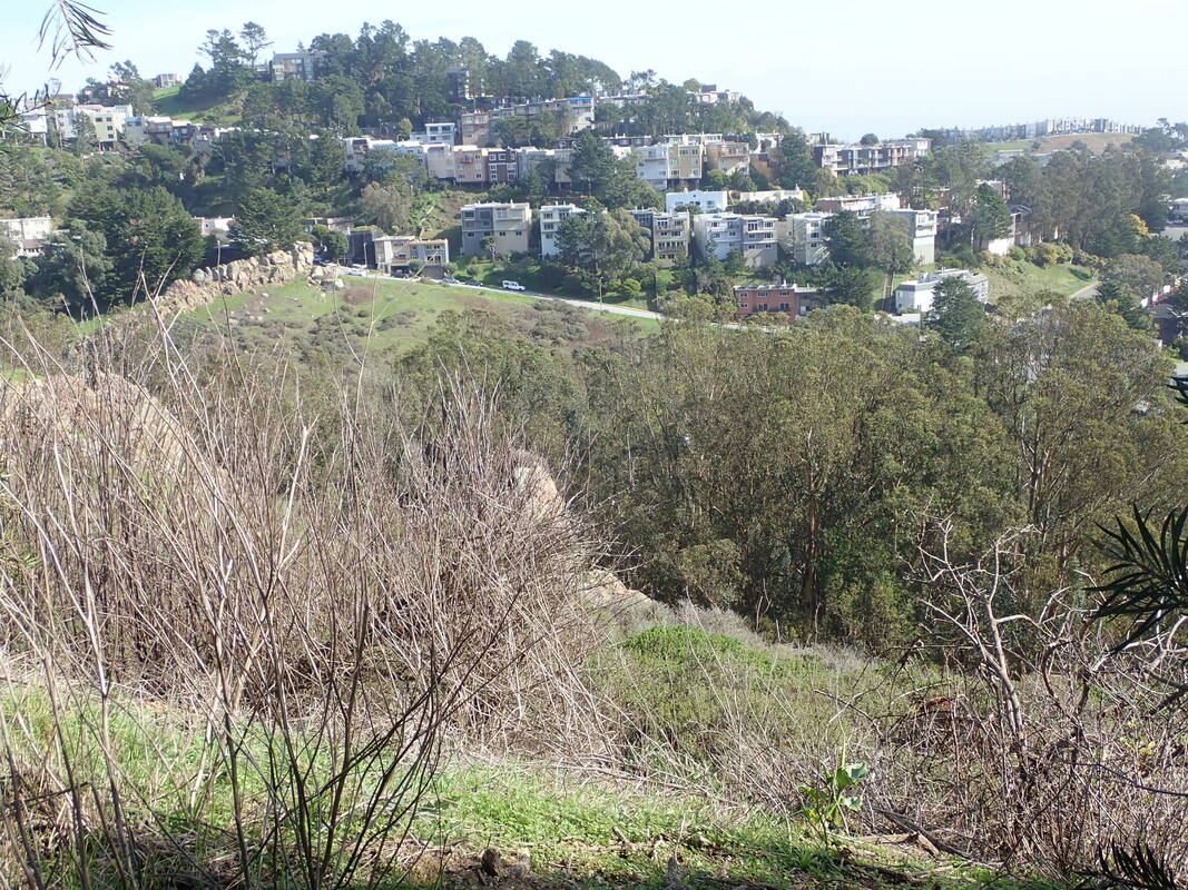
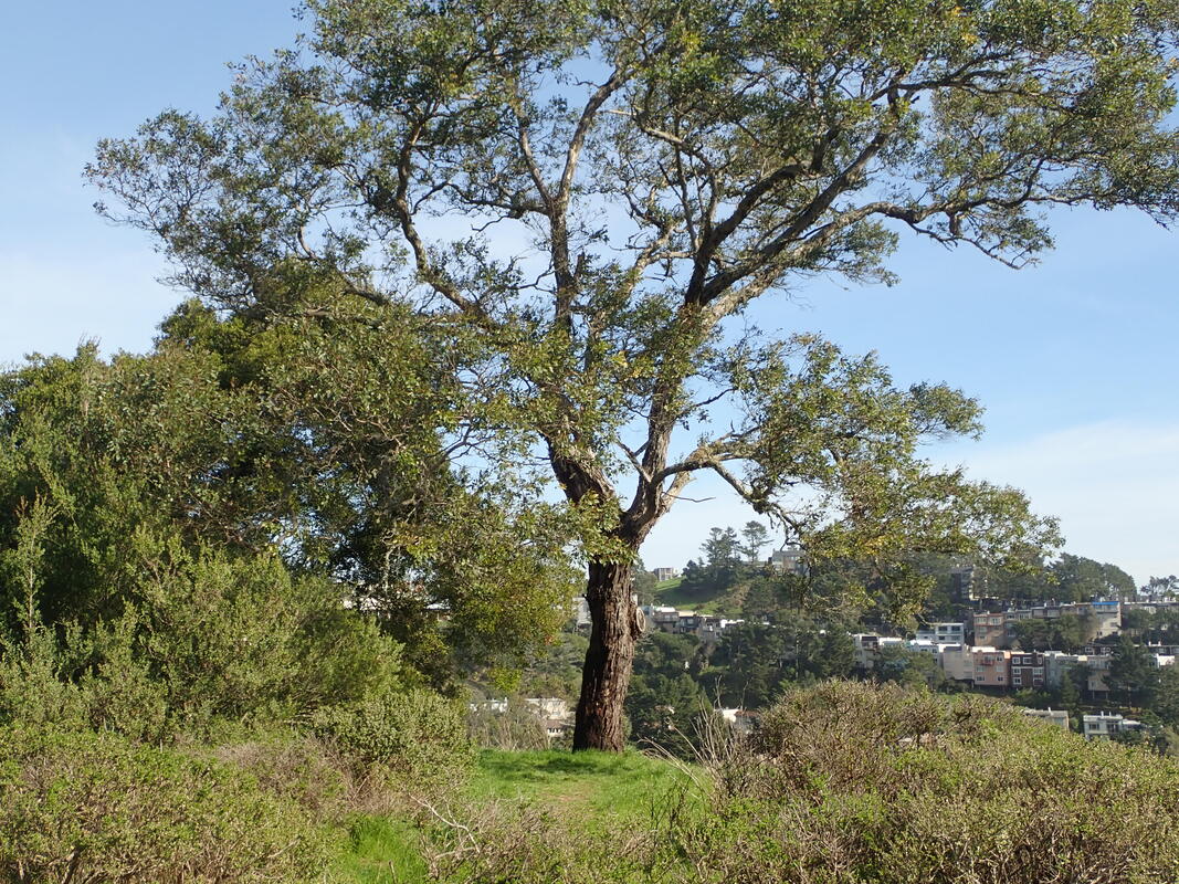
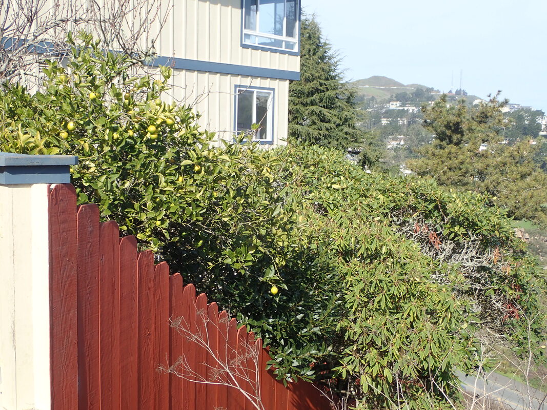
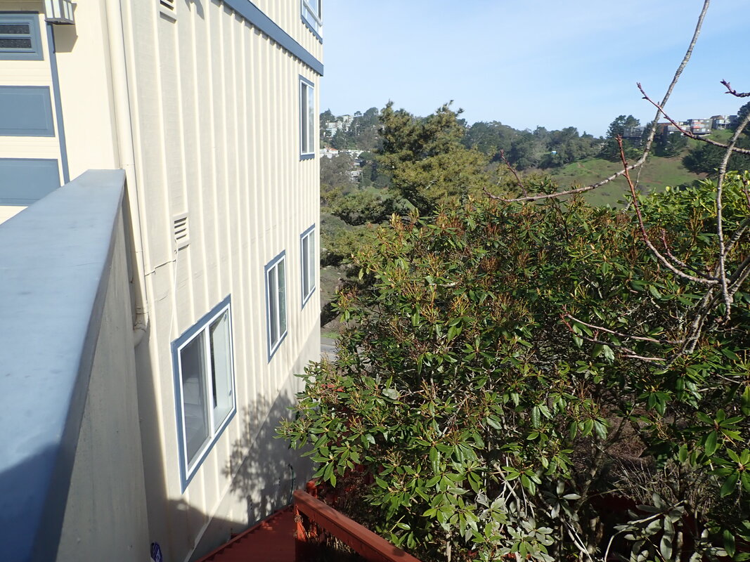
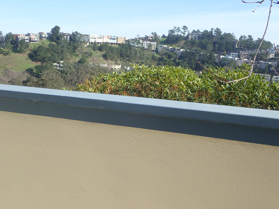
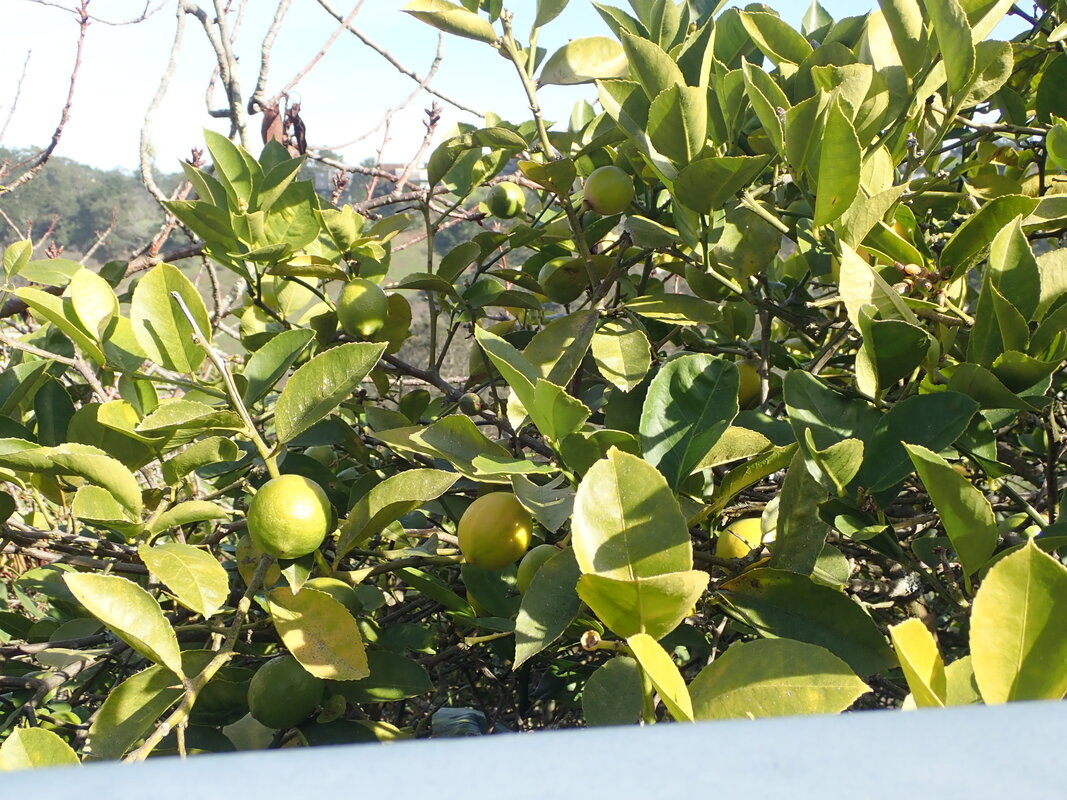
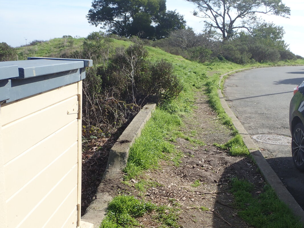
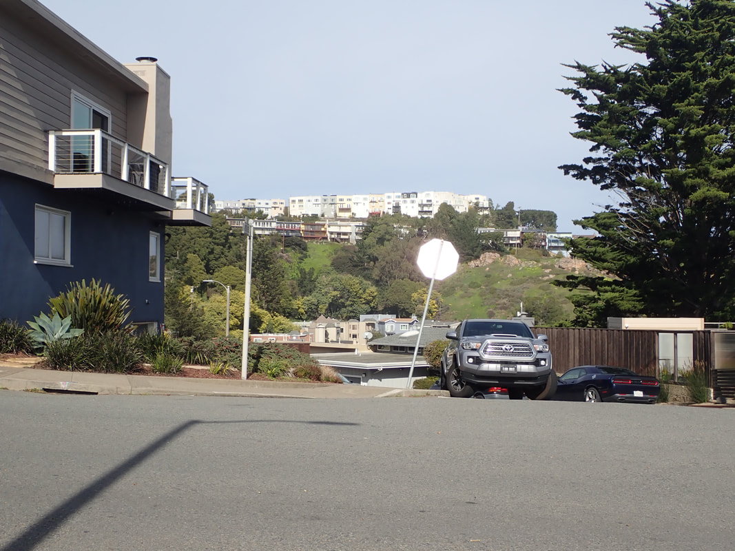
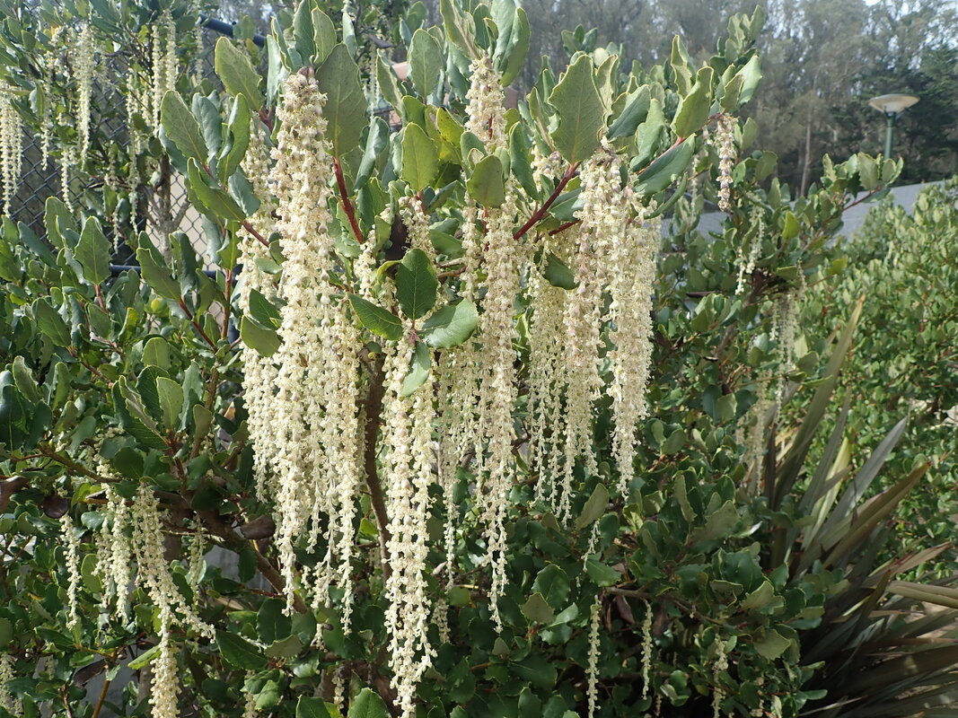
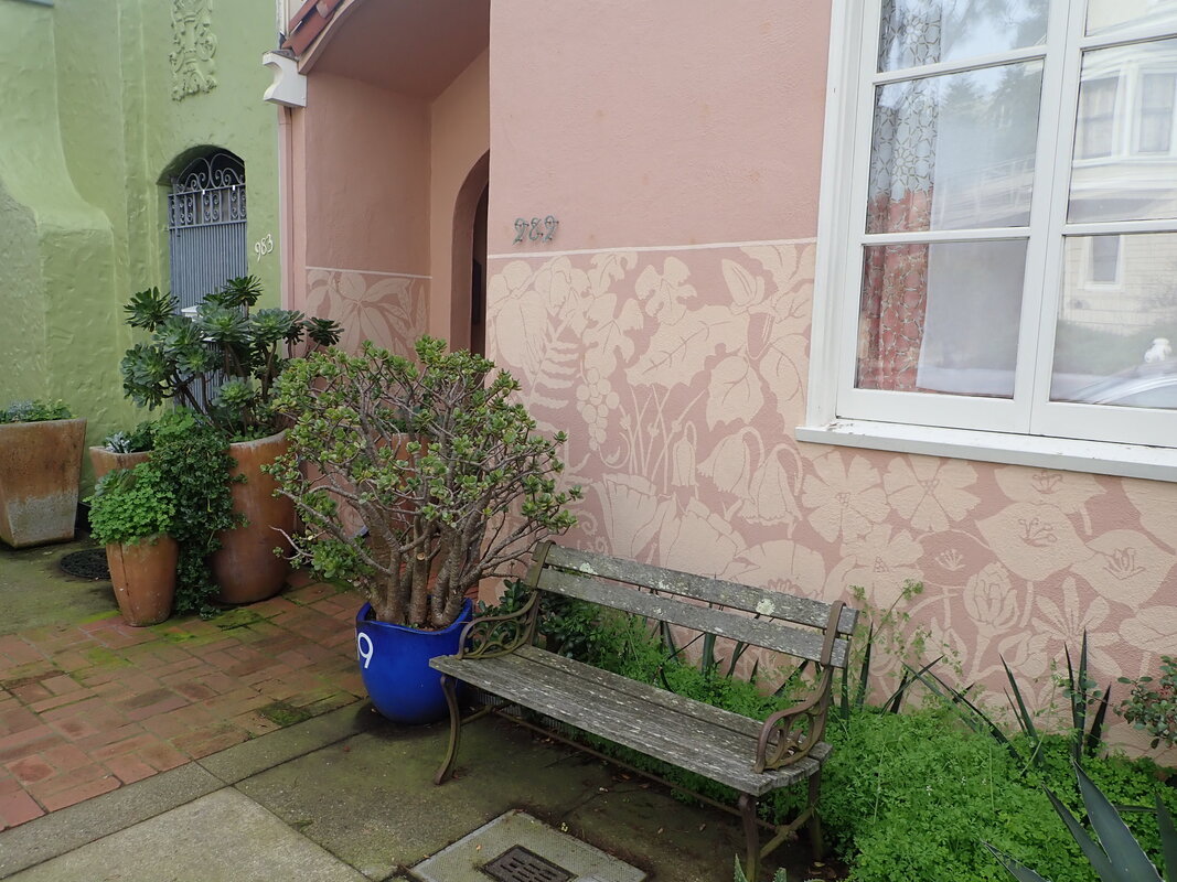
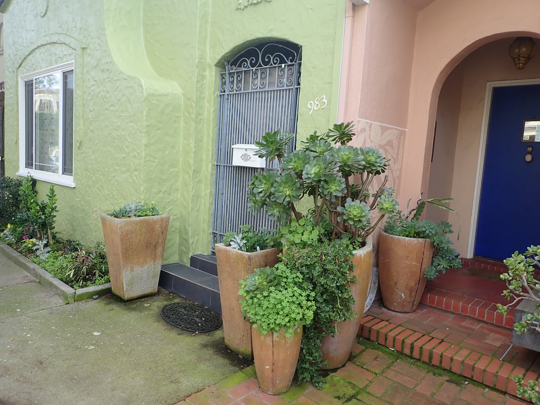
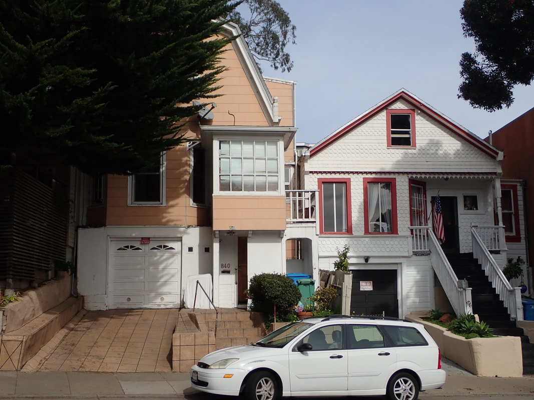
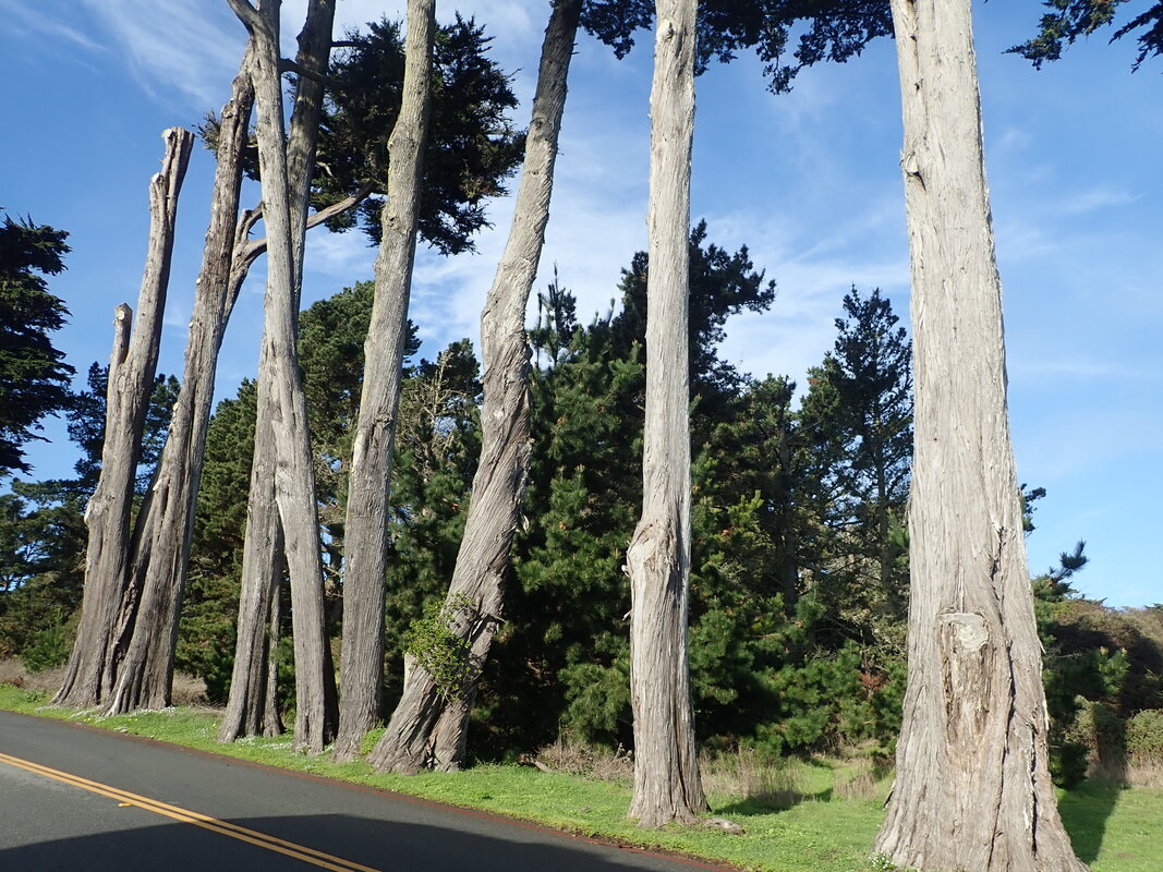
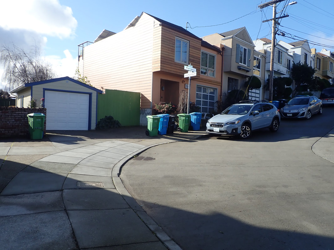
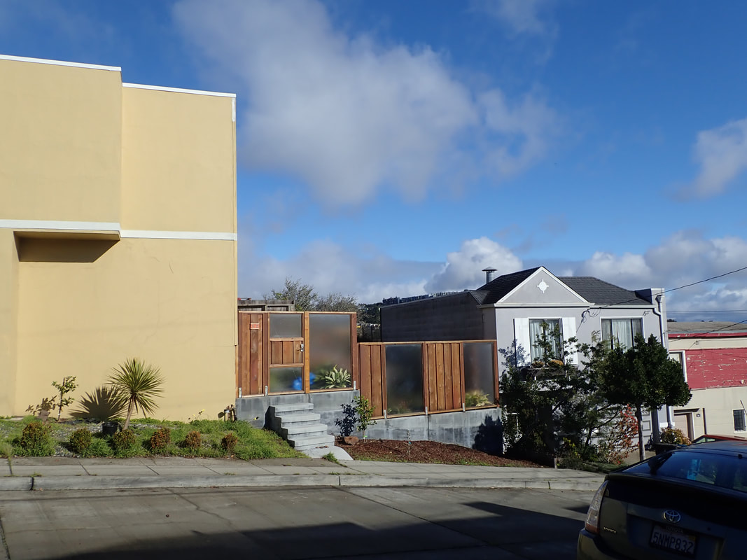
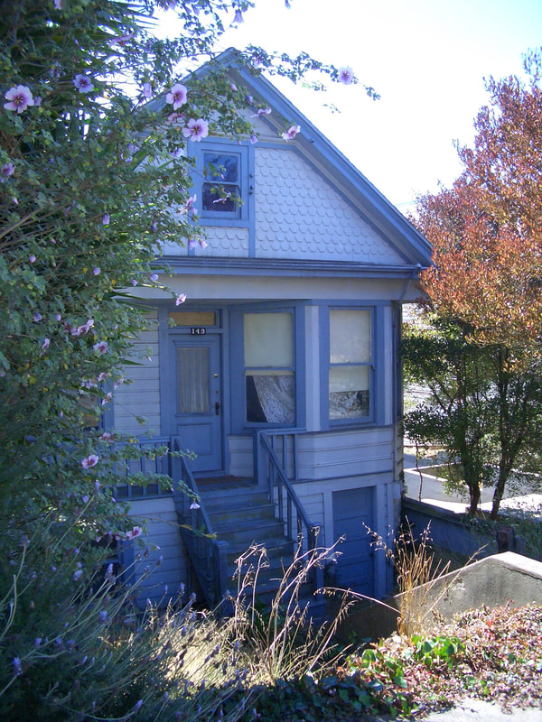
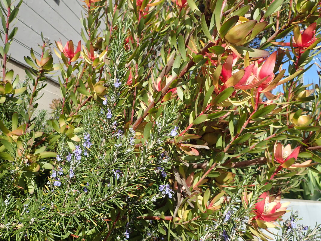
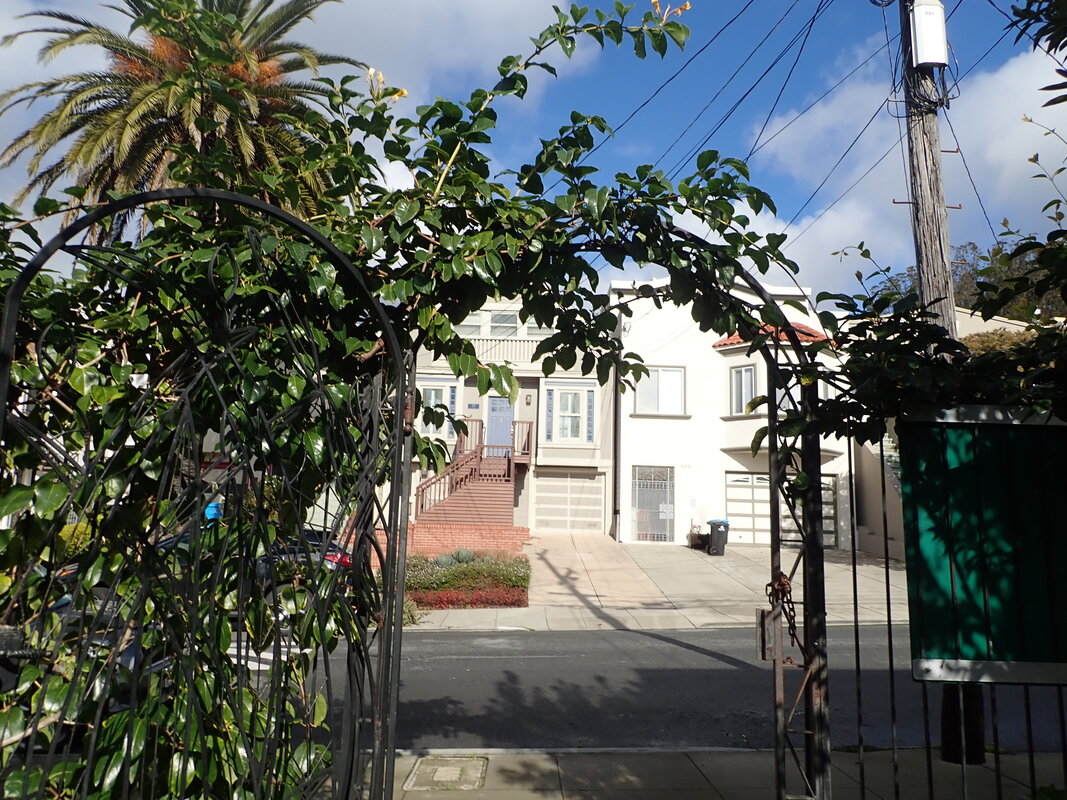
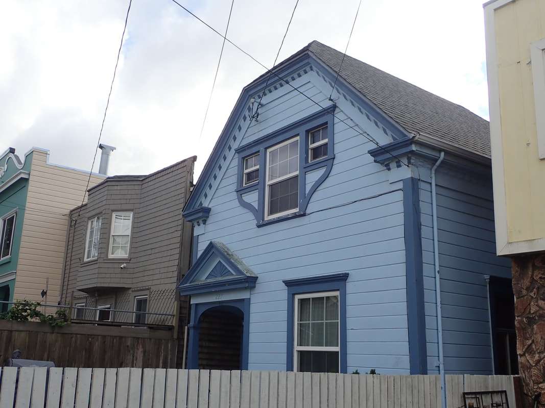
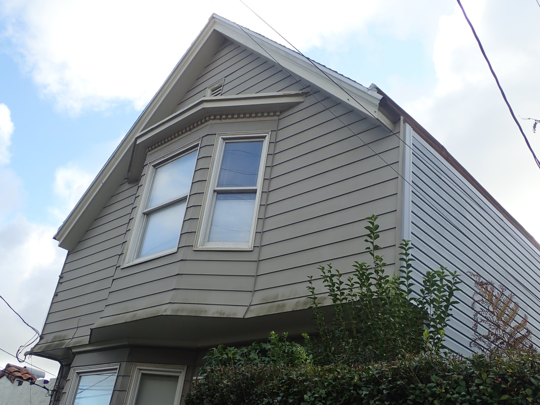
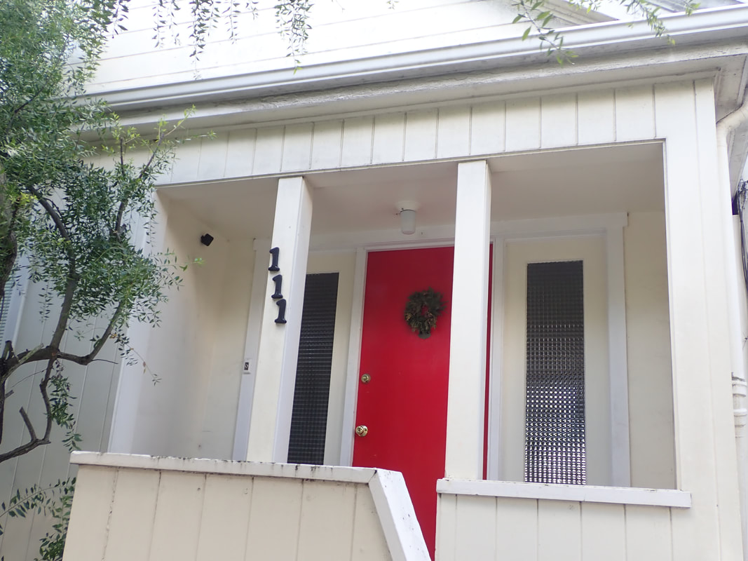
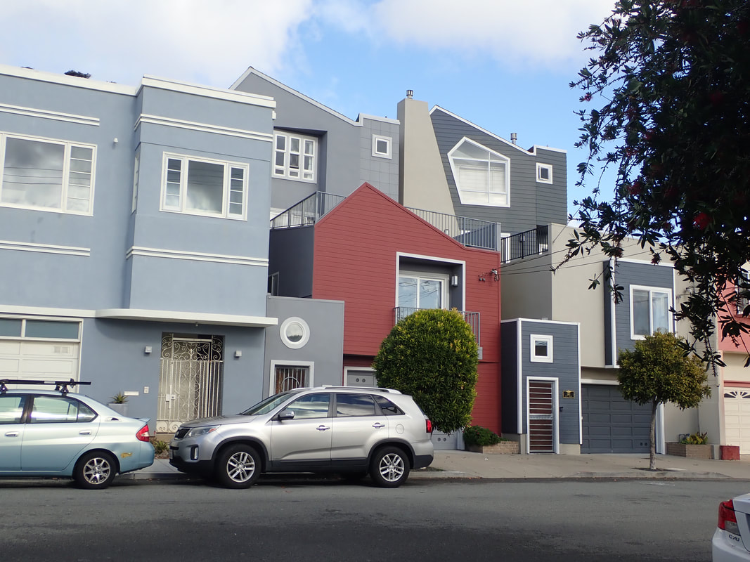
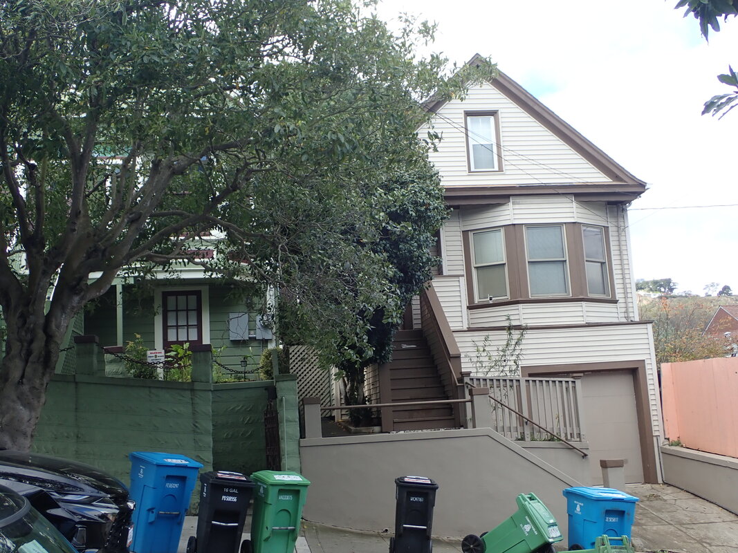
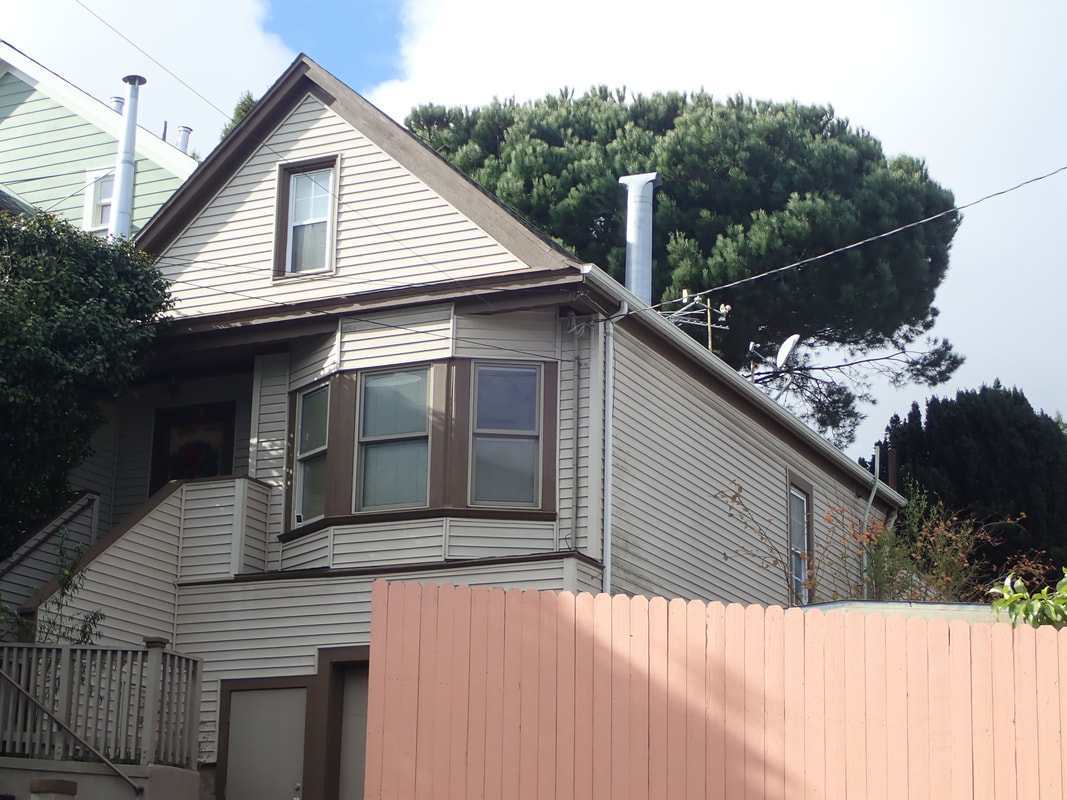
Amethyst, Diamond Heights neighborhood: 60, 61, 62
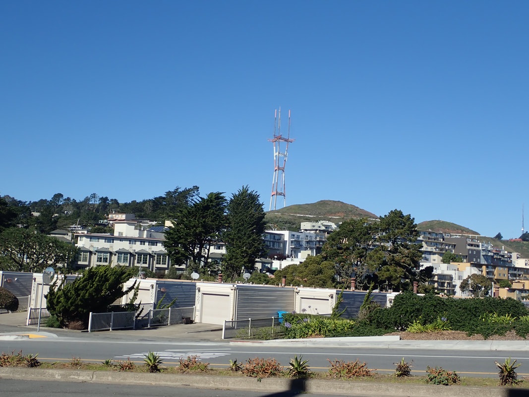
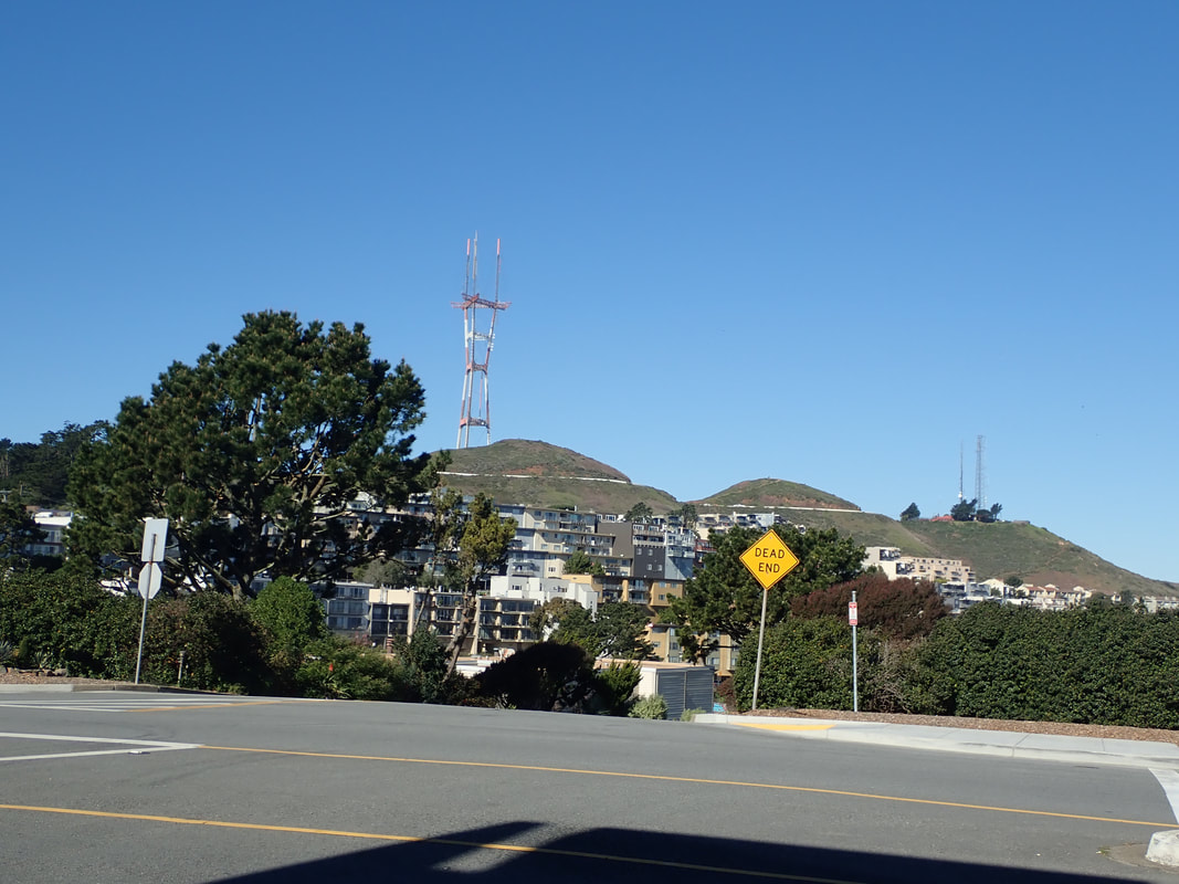
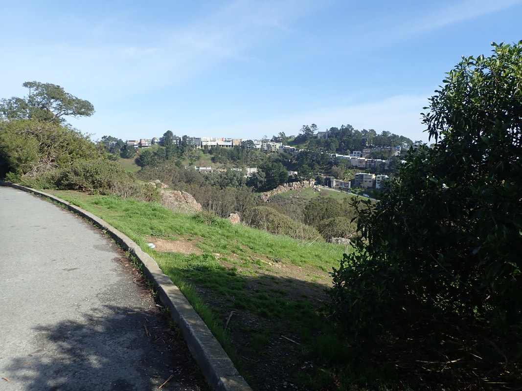
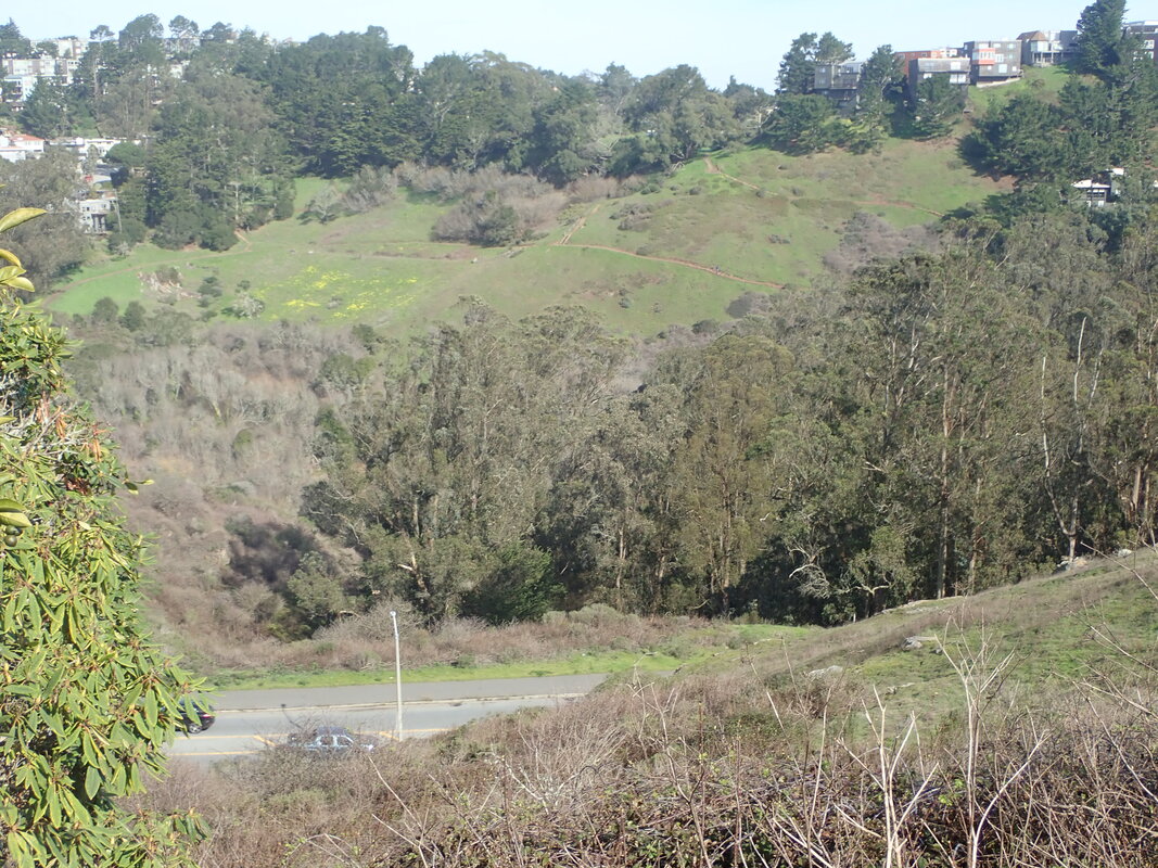
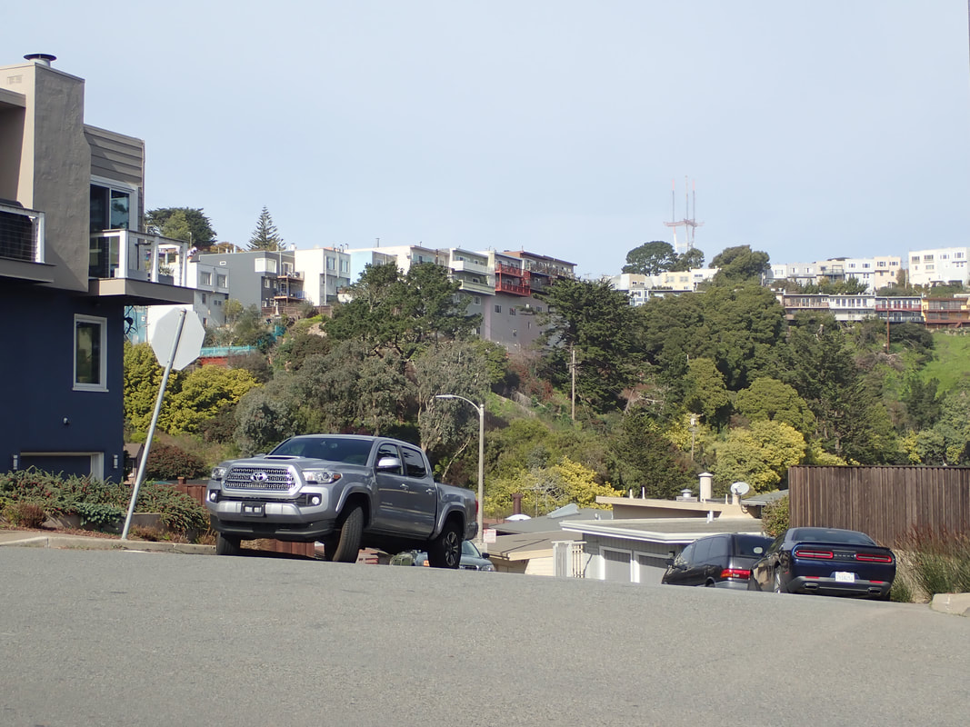
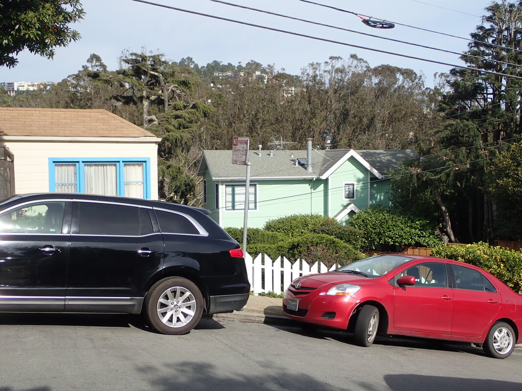
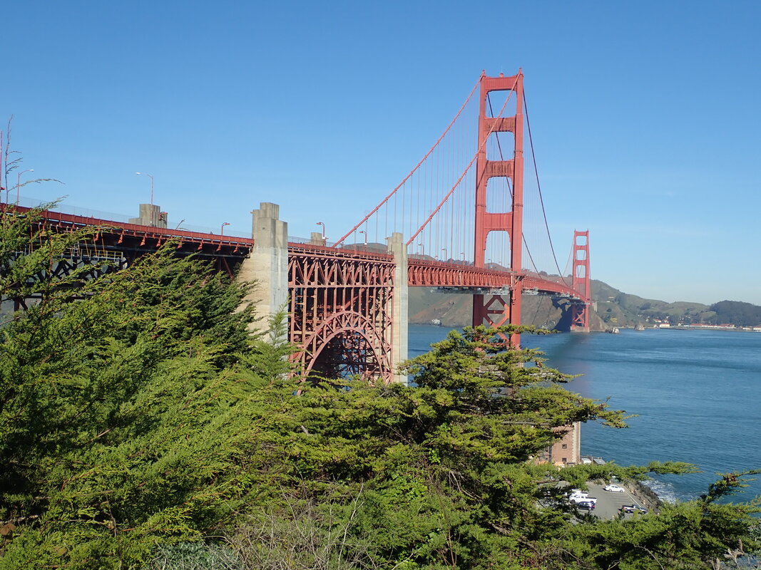
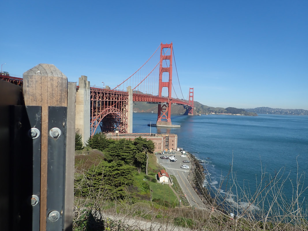
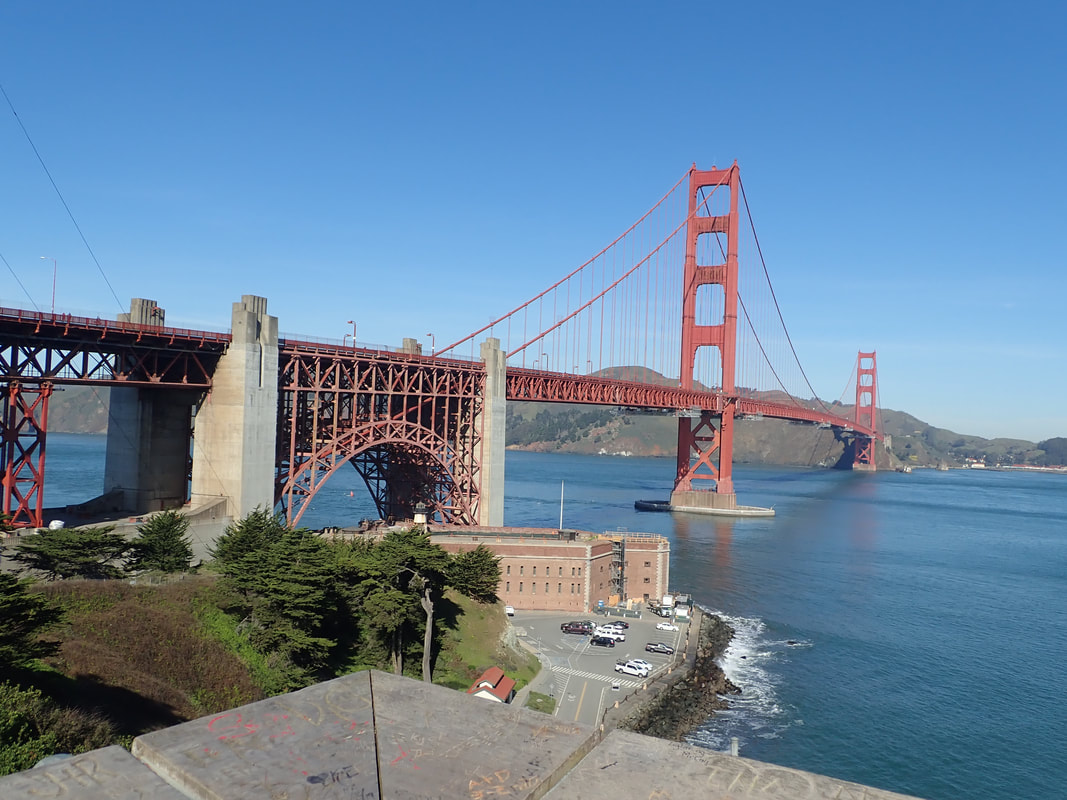
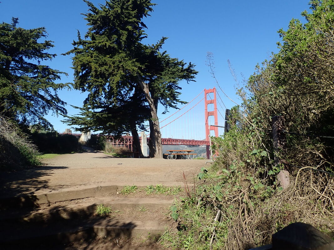
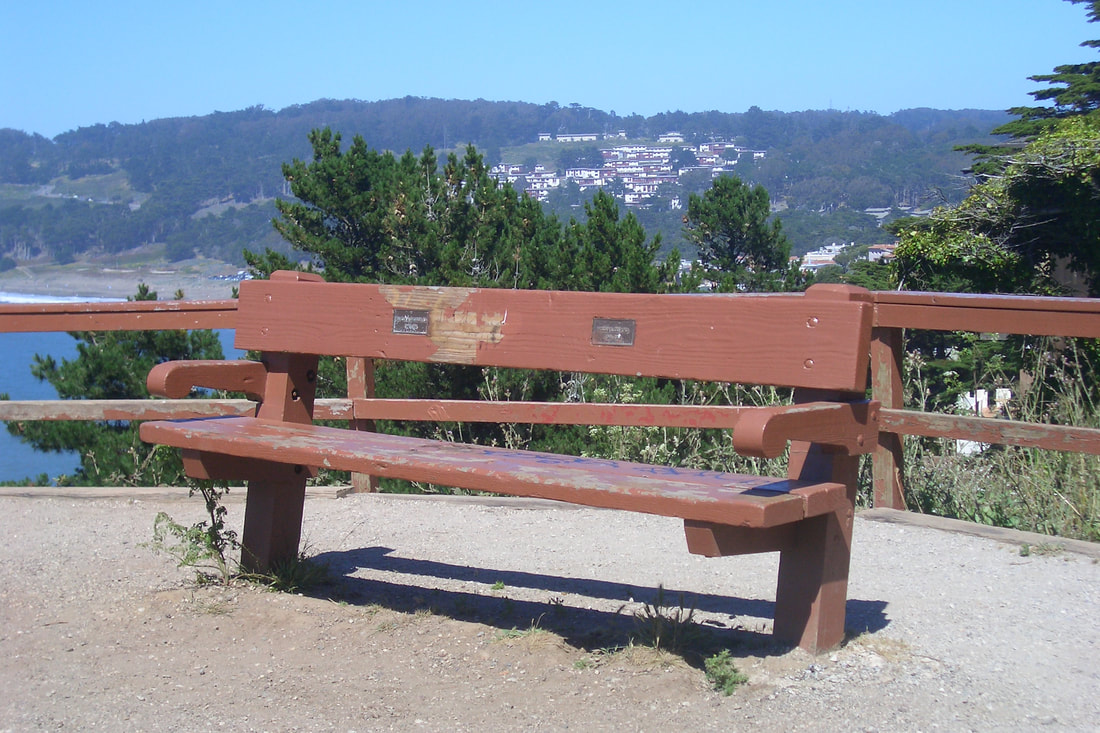
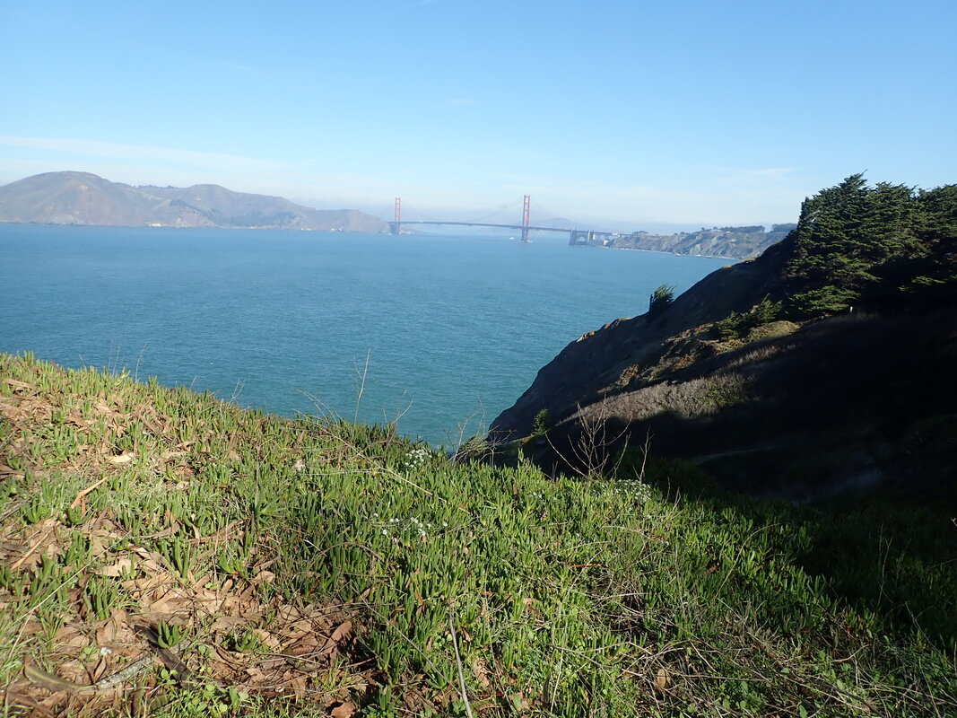
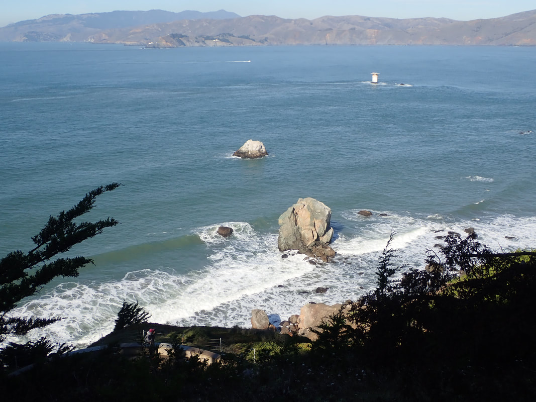
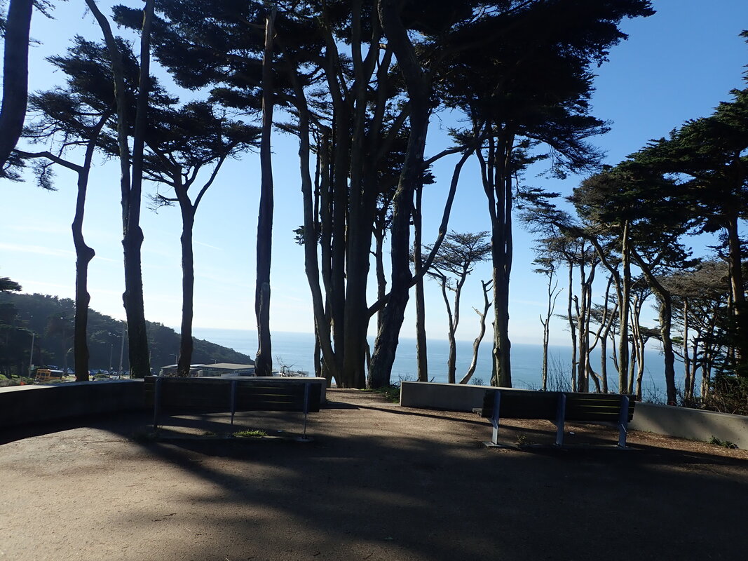
Twin Peaks from Diamond Heights Blvd.: 63, 64, 65
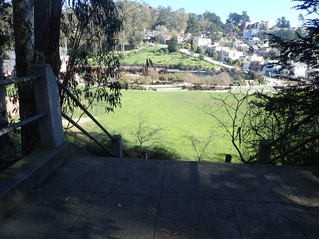
1 Stairs down from Bosworth
2
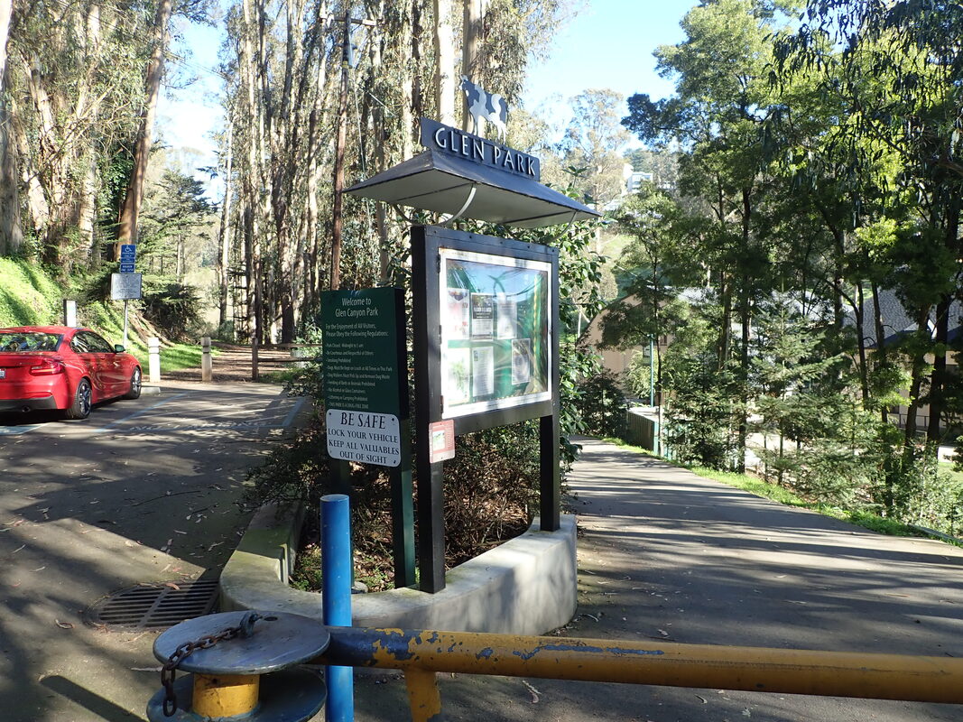
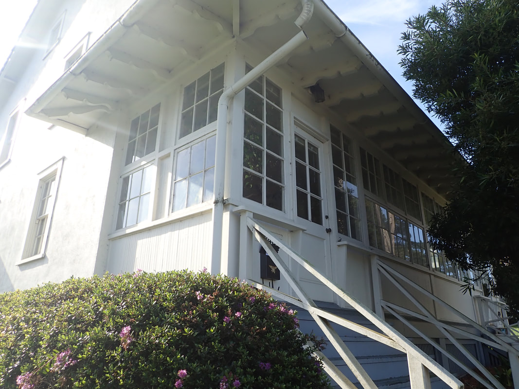
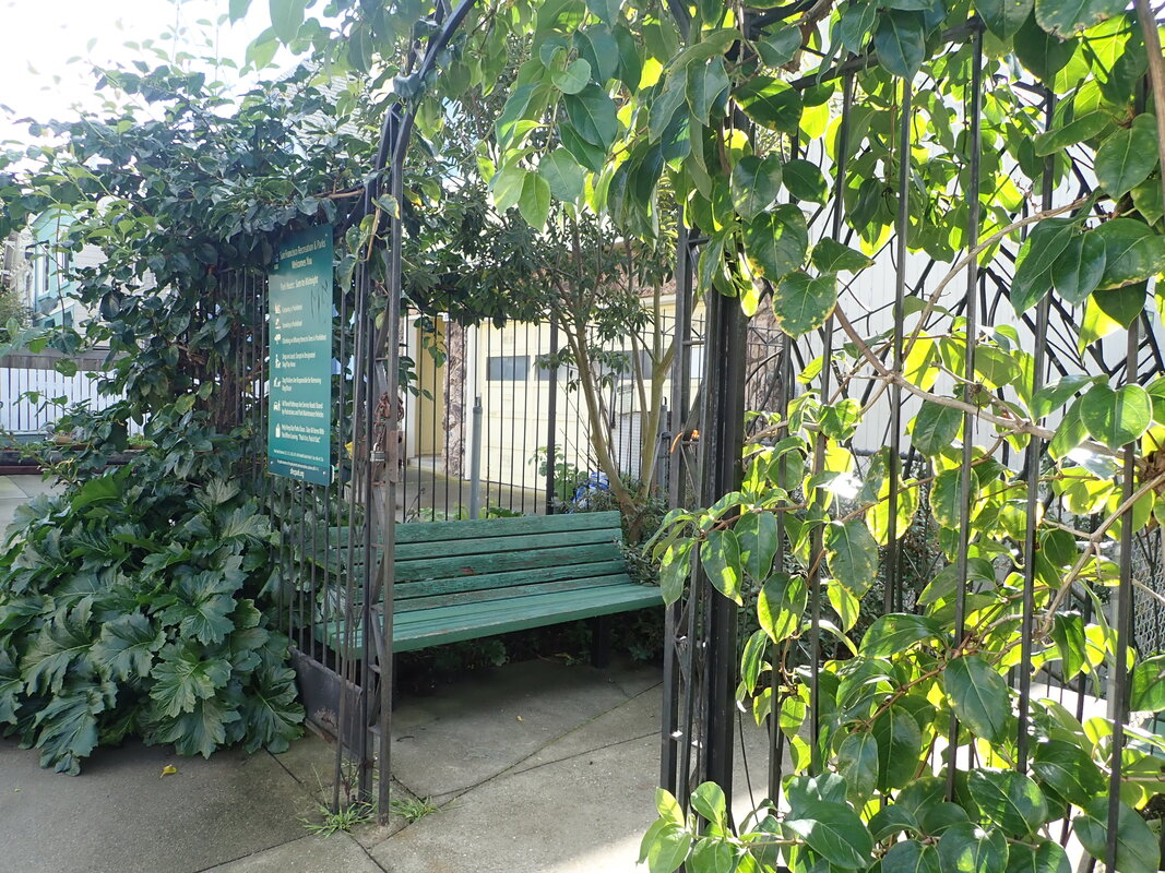
3 Glen Park Rec. Center to right
4
5
6
7
8
9
10
11
12
13
14
15
16
17
18
19
20
21
22
23
24
25
26
27

28
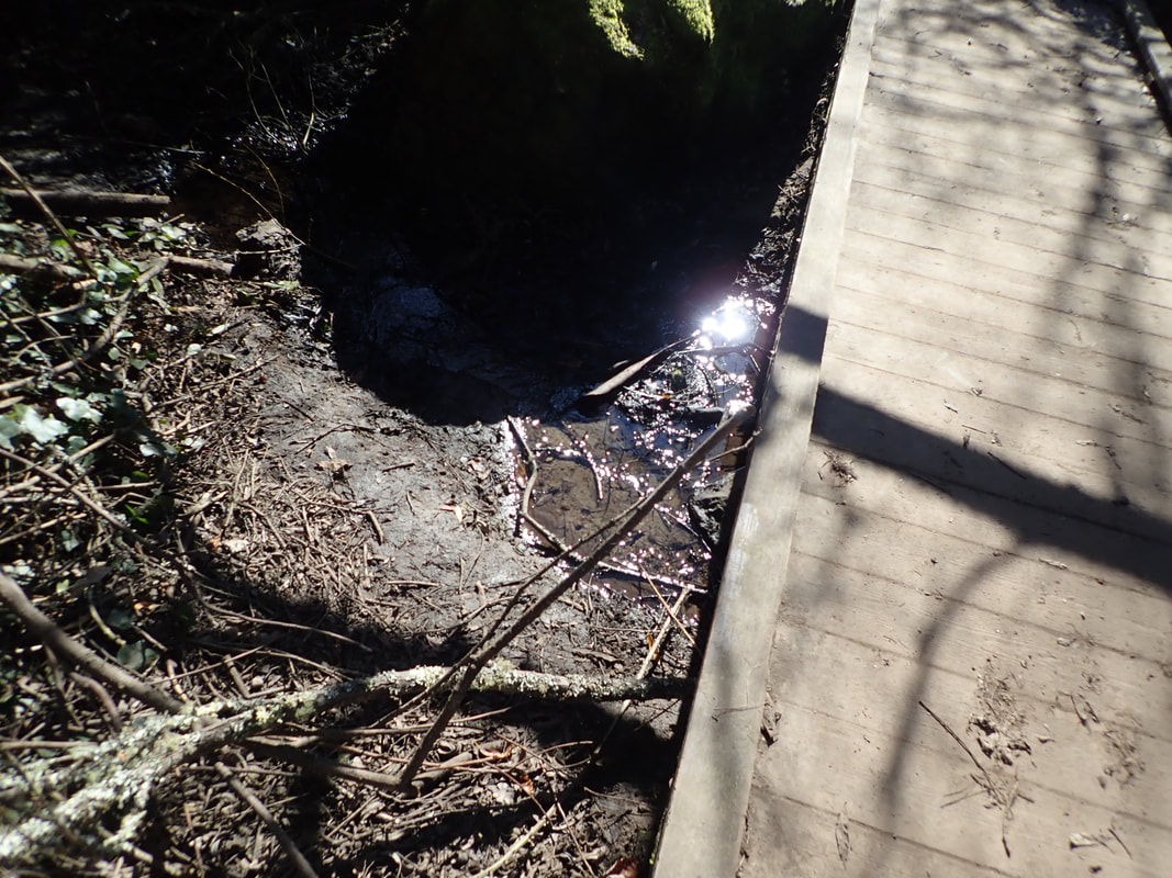
29 Islais Creek
30
31
32
33
34
35 To an upper trail

36
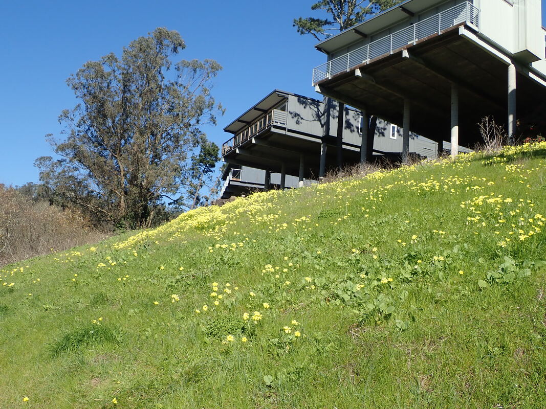
37 Yellow Oxalis and Diamond Heights homes
38
39 Back down again
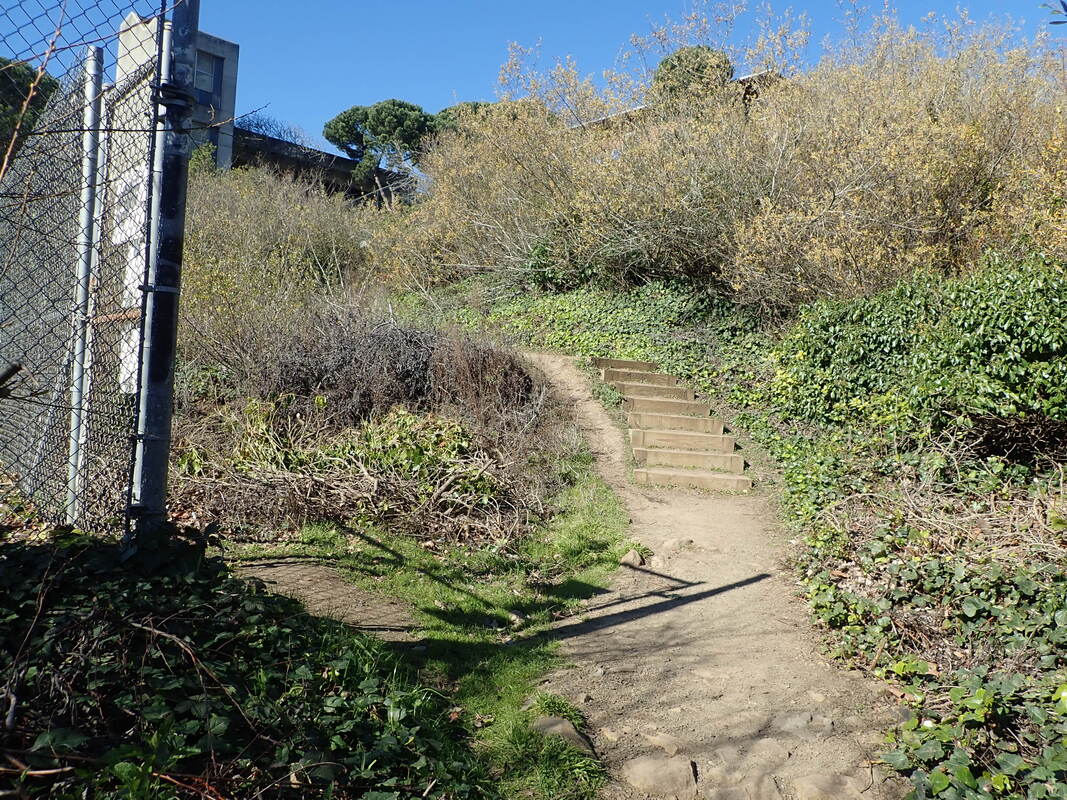
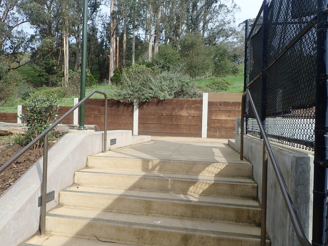
40Steps-trail up to Portola
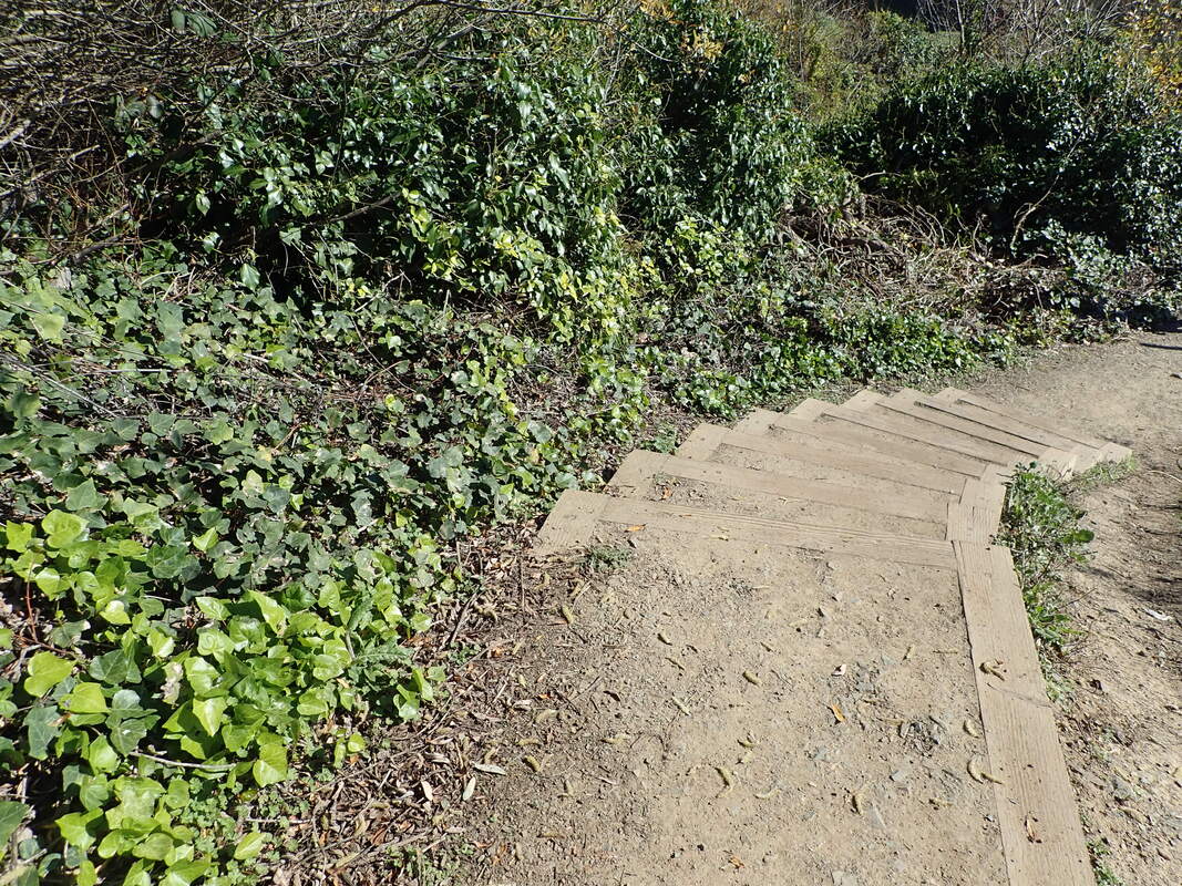
41 About 56 steps
42
43
44
45
46
47
48
49
50
51
52
53
54
55
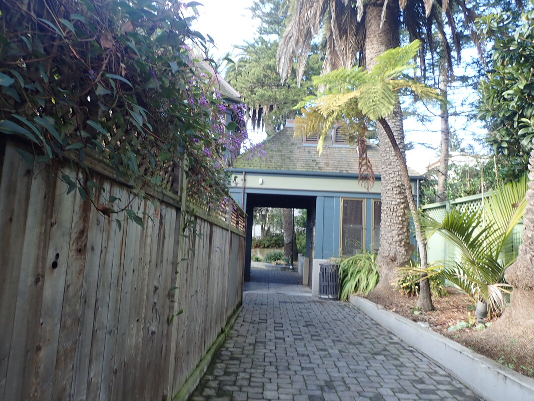
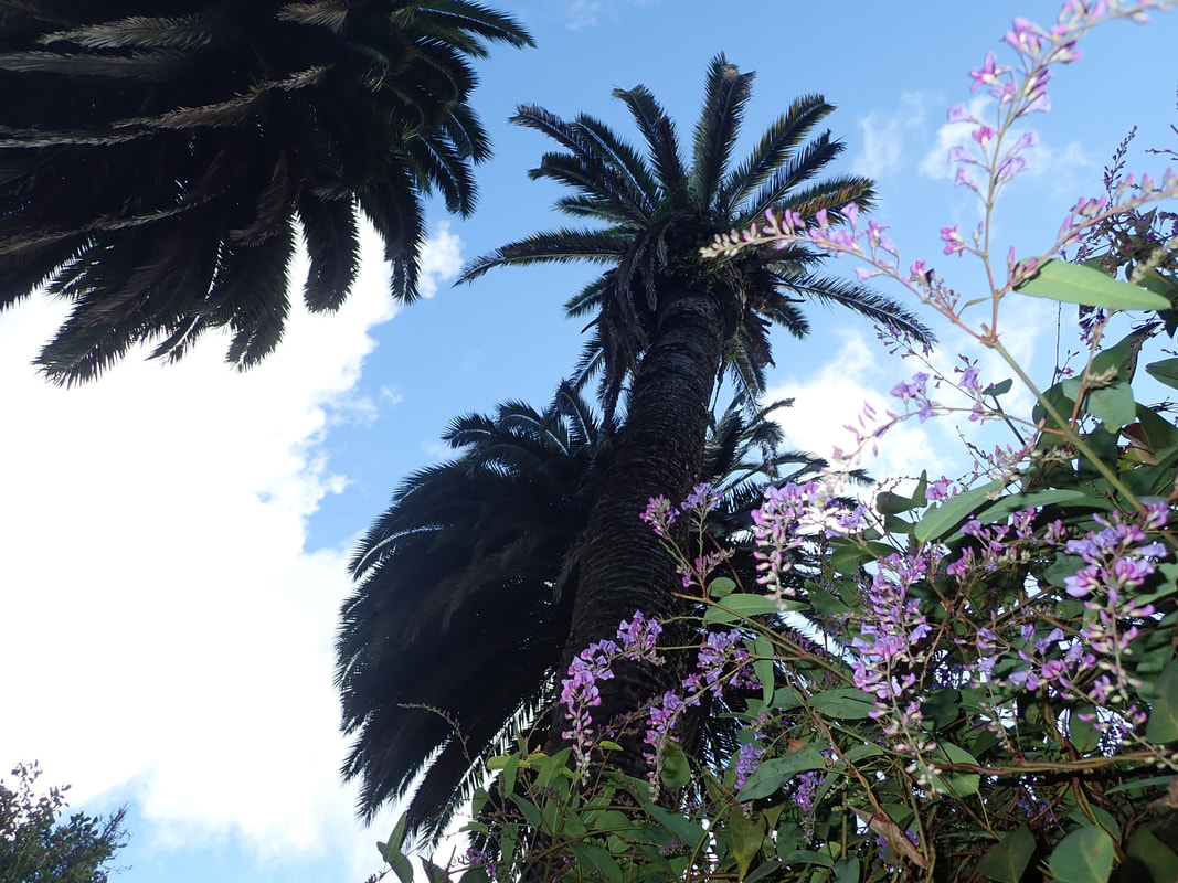
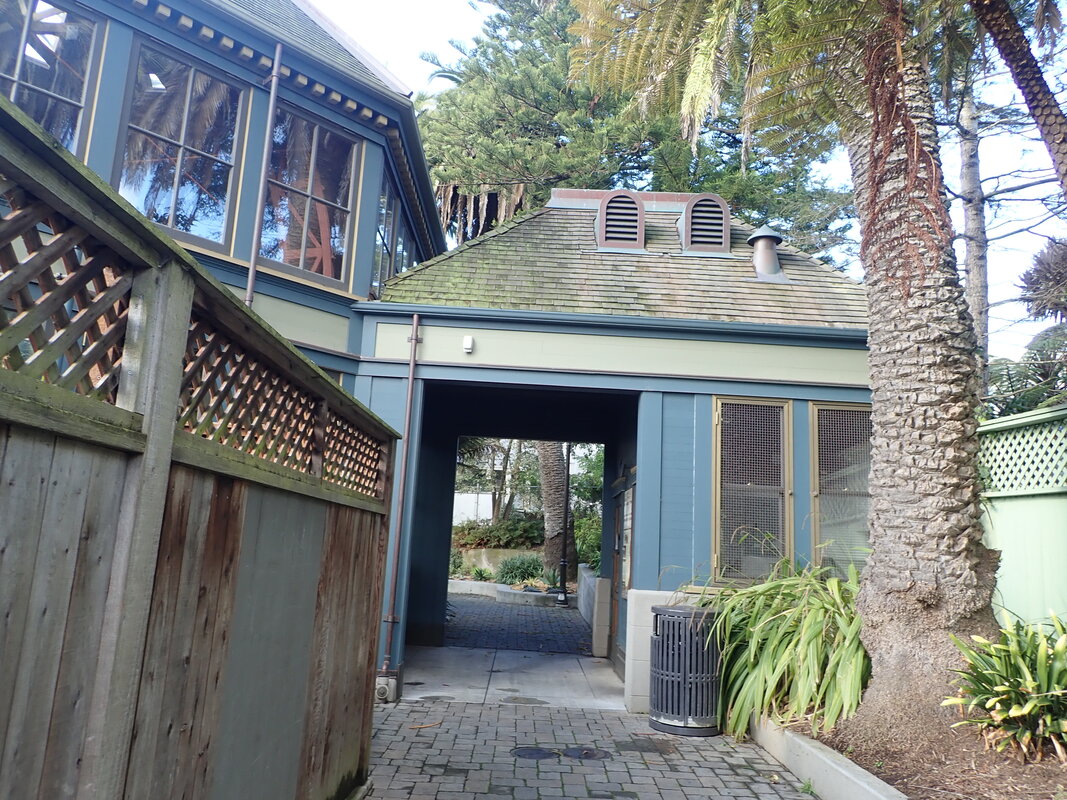
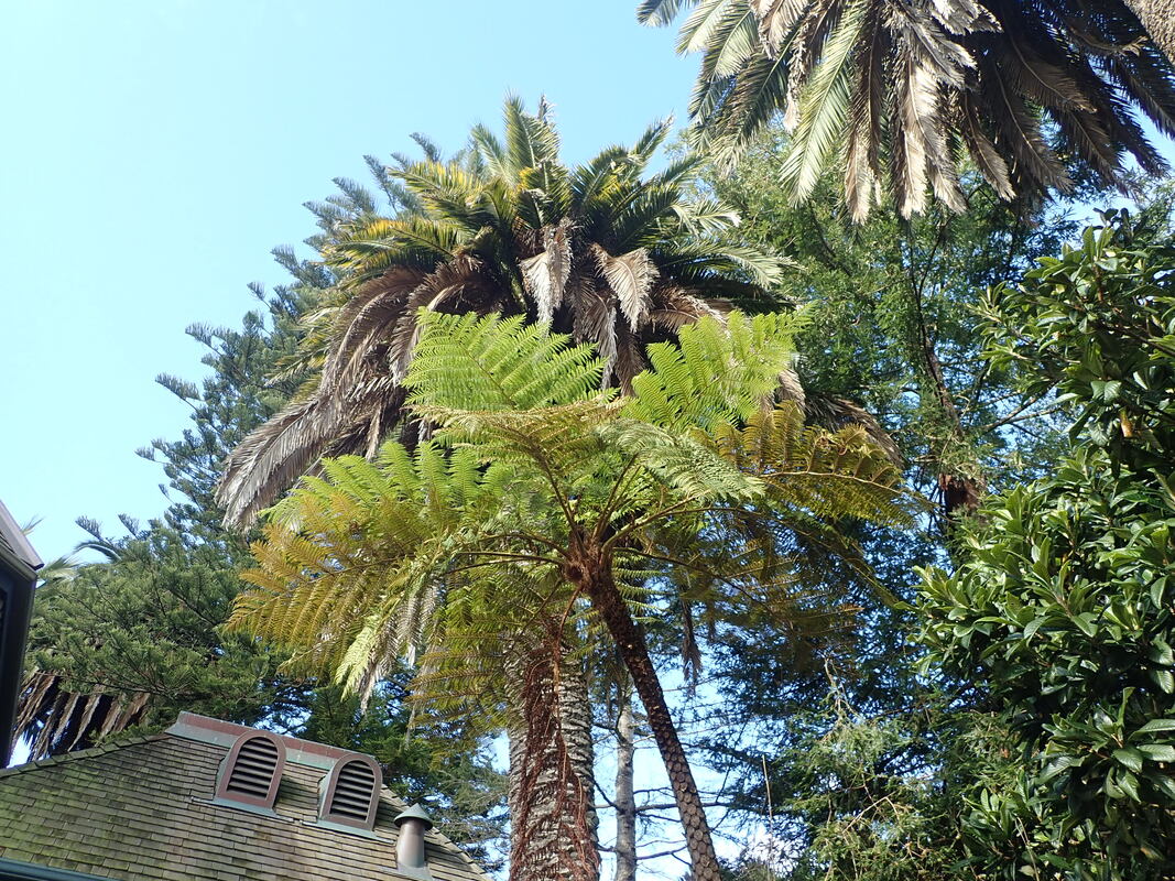
56 Out to Amethyst in Diamond Heights
57
58
59
60
61
62
63 Twin Peaks from Diamond Heights Blvd.
64
65


 RSS Feed
